| Name: | Finney County |
|---|---|
| FIPS code: | 20-055 |
| State: | Kansas |
| Founded: | February 22, 1883 |
| Named for: | David W. Finney |
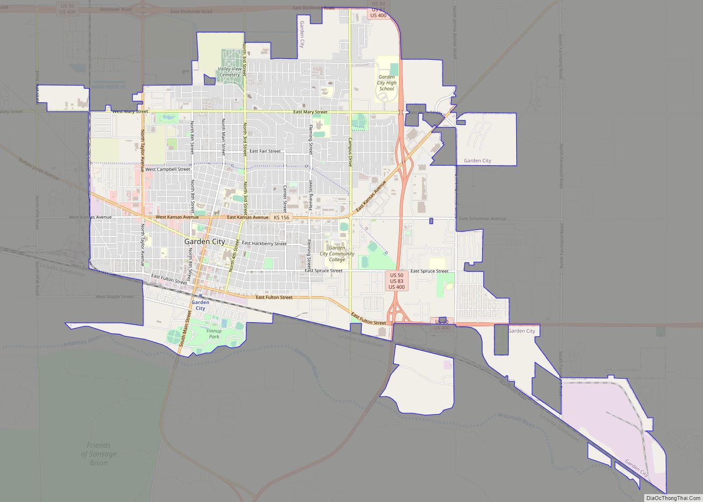
| Seat: | Garden City |
| Largest city: | Garden City |
| Total Area: | 1,303 sq mi (3,370 km²) |
| Land Area: | 1,302 sq mi (3,370 km²) |
| Total Population: | 38,470 |
| Population Density: | 29.5/sq mi (11.4/km²) |
| Time zone: | UTC−6 (Central) |
| Summer Time Zone (DST): | UTC−5 (CDT) |
| Website: | FinneyCounty.org |
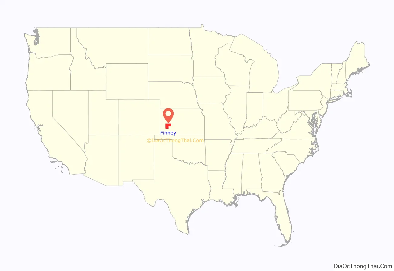
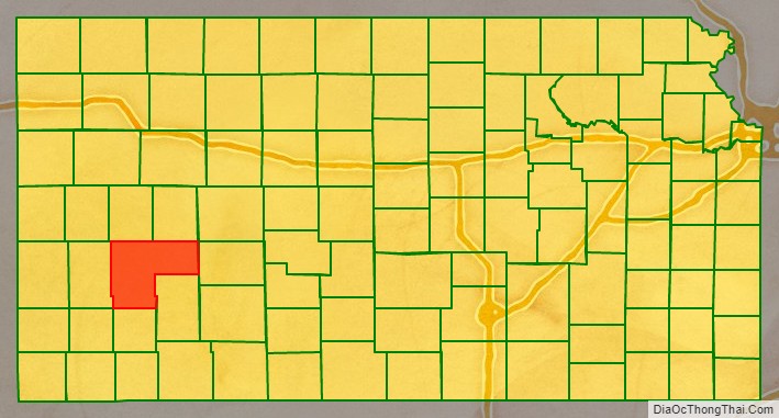
Finney County location map. Where is Finney County?
History
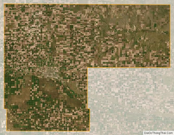
Finney County began about 1880 as Buffalo County and Sequoyah County, named after Sequoyah, the Cherokee Indian responsible for the development of the Cherokee alphabet. The two counties were renamed Finney County in honor of then Lieutenant Governor David Wesley Finney. The county grew to the current shape after Garfield County was annexed to it in 1893. The northeast block, separate from the otherwise rectangular area, represents what at one time was Garfield County, which is now occupied partially by the Garfield Township.
Charles “Buffalo” Jones, a co-founder of Garden City, was the first member of the Kansas House of Representatives from Finney County. He was known for his efforts to preserve the buffalo from extinction.
Between 2007 and 2008 Finney County became majority-minority.
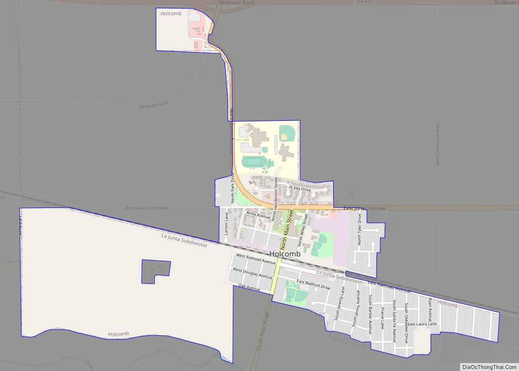
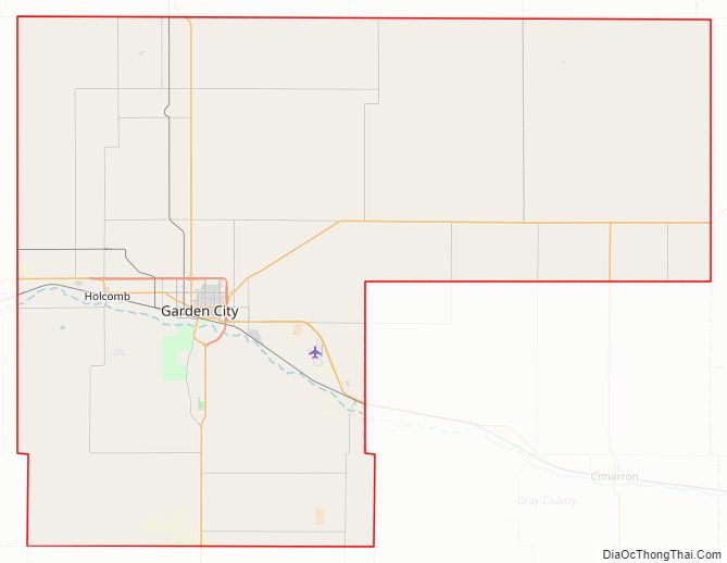
Finney County Road Map
Geography
According to the U.S. Census Bureau, the county has a total area of 1,303 square miles (3,370 km), of which 1,302 square miles (3,370 km) is land and 0.7 square miles (1.8 km) (0.05%) is water. It is the second-largest county in Kansas by area.
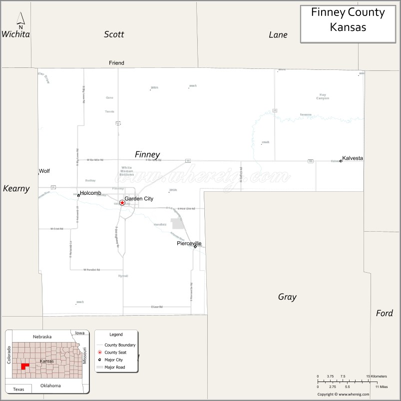
Adjacent counties
- Scott County (north)
- Lane County (north)
- Ness County (northeast)
- Hodgeman County (east)
- Haskell County (south)
- Gray County (south)
- Grant County (southwest)
- Kearny County (west)
Finney County Topographic Map
Finney County Satellite Map
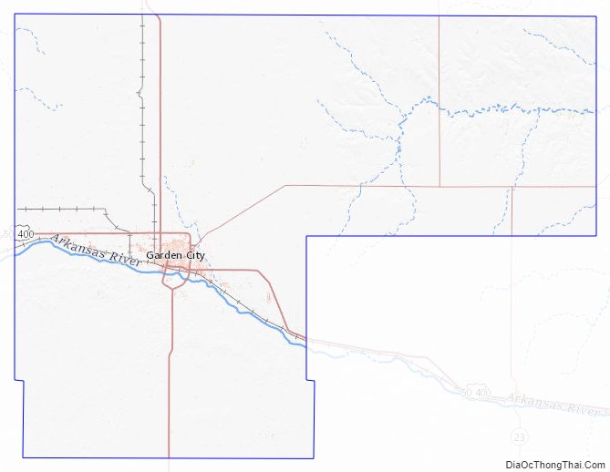
Finney County Outline Map