Fremont County is a county located in the U.S. state of Iowa. As of the 2020 census the population was 6,605, making it the state’s seventh-least populous county. The county seat is Sidney. The county was formed in 1847 and named for the military officer John C. Fremont.
| Name: | Fremont County |
|---|---|
| FIPS code: | 19-071 |
| State: | Iowa |
| Founded: | 1847 |
| Named for: | John C. Fremont |
| Seat: | Sidney |
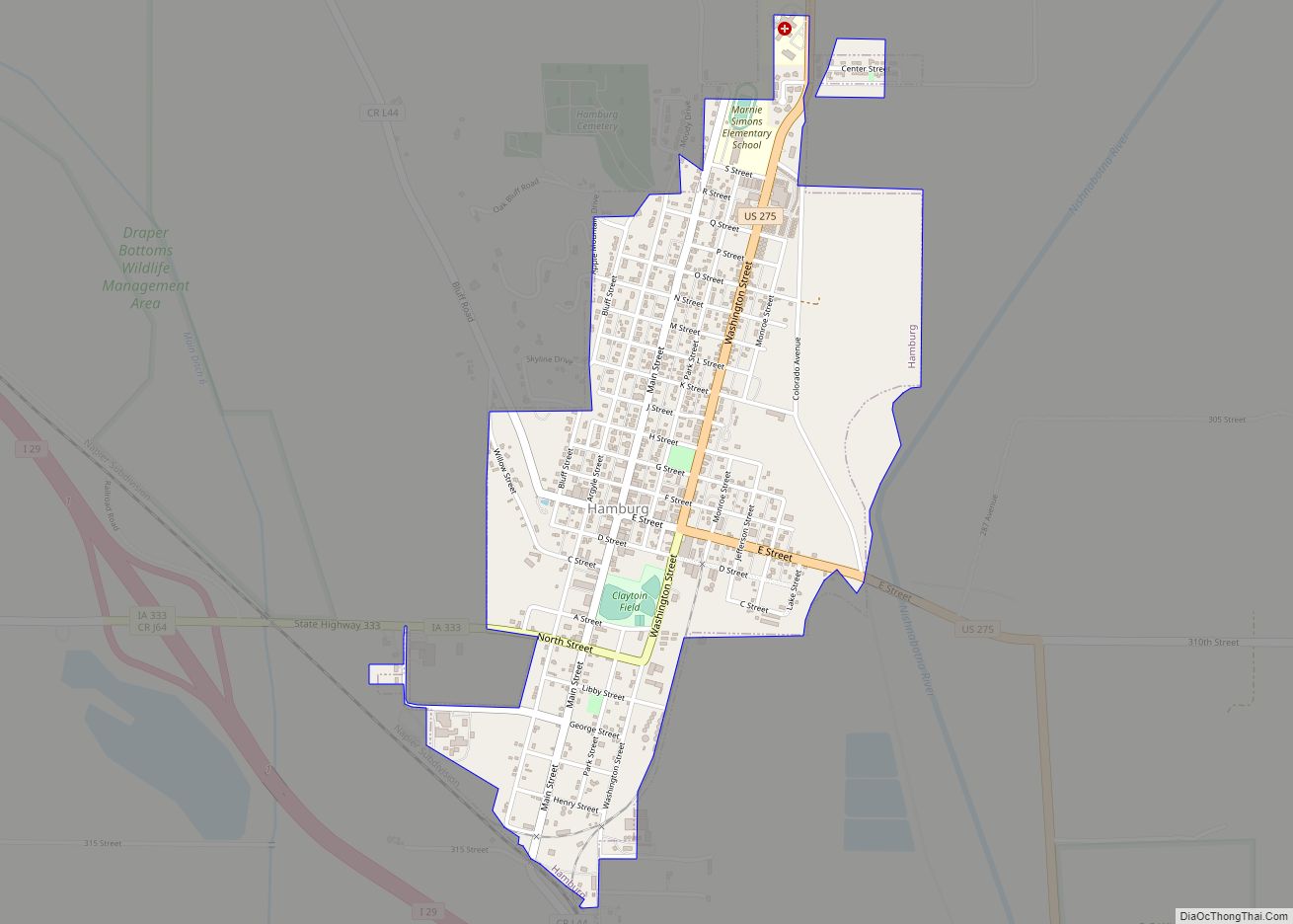
| Largest city: | Hamburg |
| Total Area: | 517 sq mi (1,340 km²) |
| Land Area: | 511 sq mi (1,320 km²) |
| Total Population: | 6,605 |
| Population Density: | 13/sq mi (4.9/km²) |
| Time zone: | UTC−6 (Central) |
| Summer Time Zone (DST): | UTC−5 (CDT) |
| Website: | www.fremontcountyia.gov |
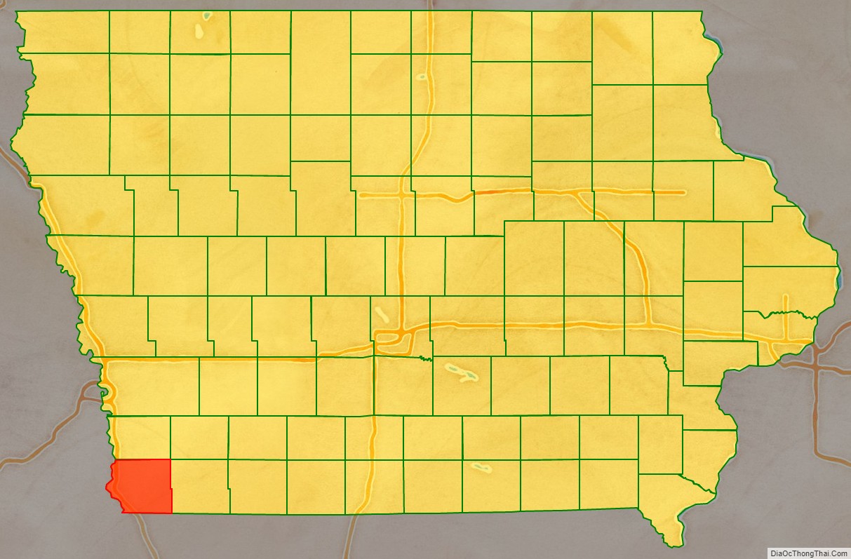
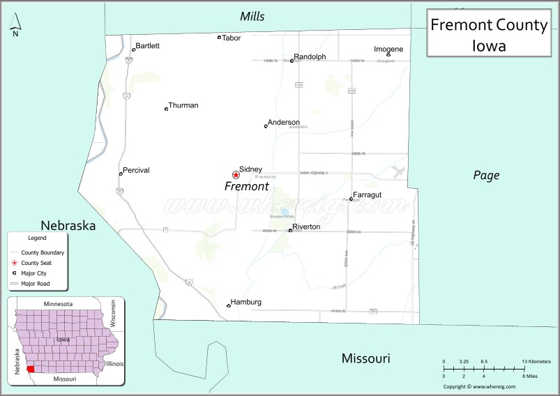
Fremont County location map. Where is Fremont County?

History
Fremont County was impacted by the 2019 Midwestern U.S. floods. Buyouts are under discussion for residents in Hamburg and McPaul.
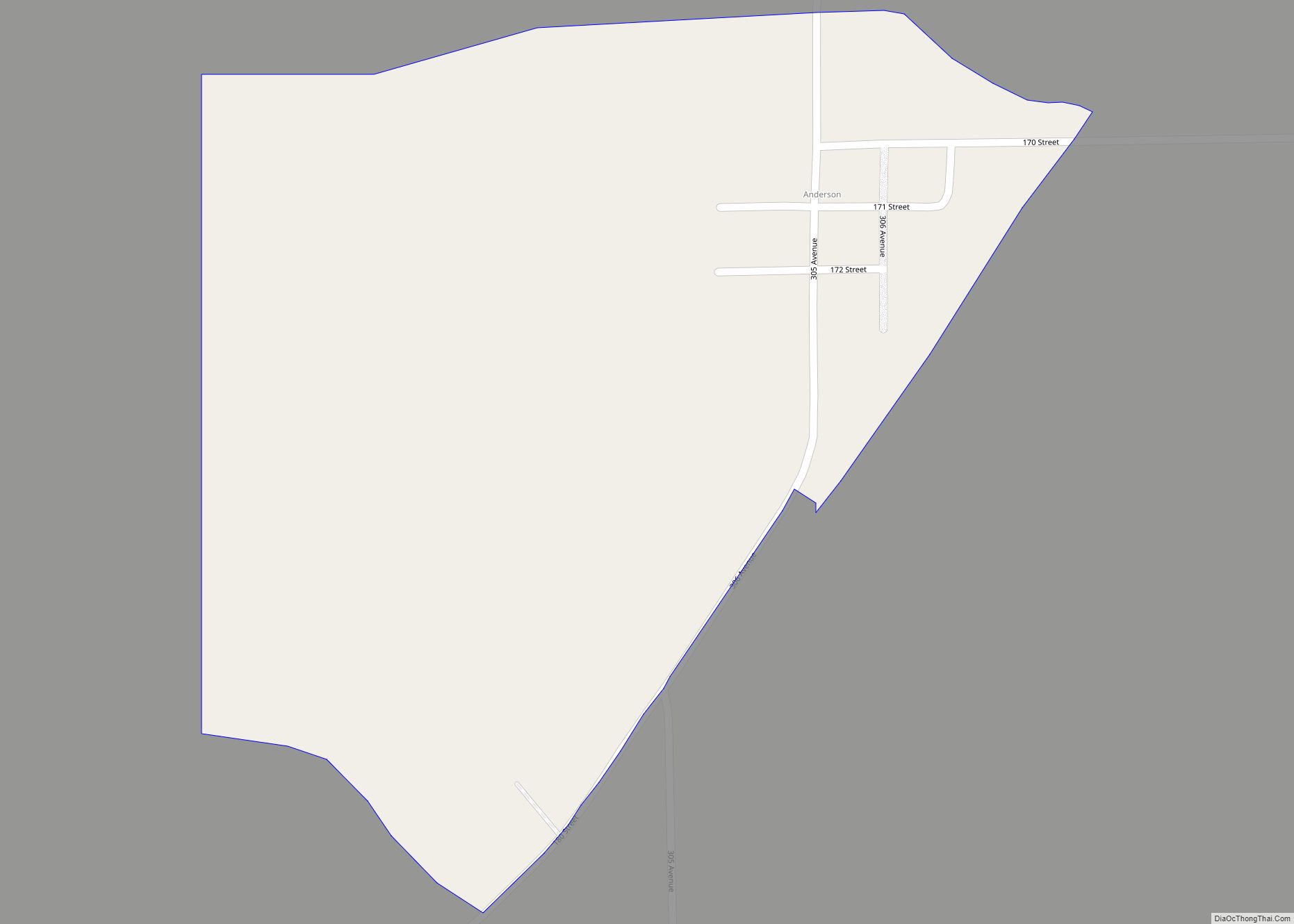
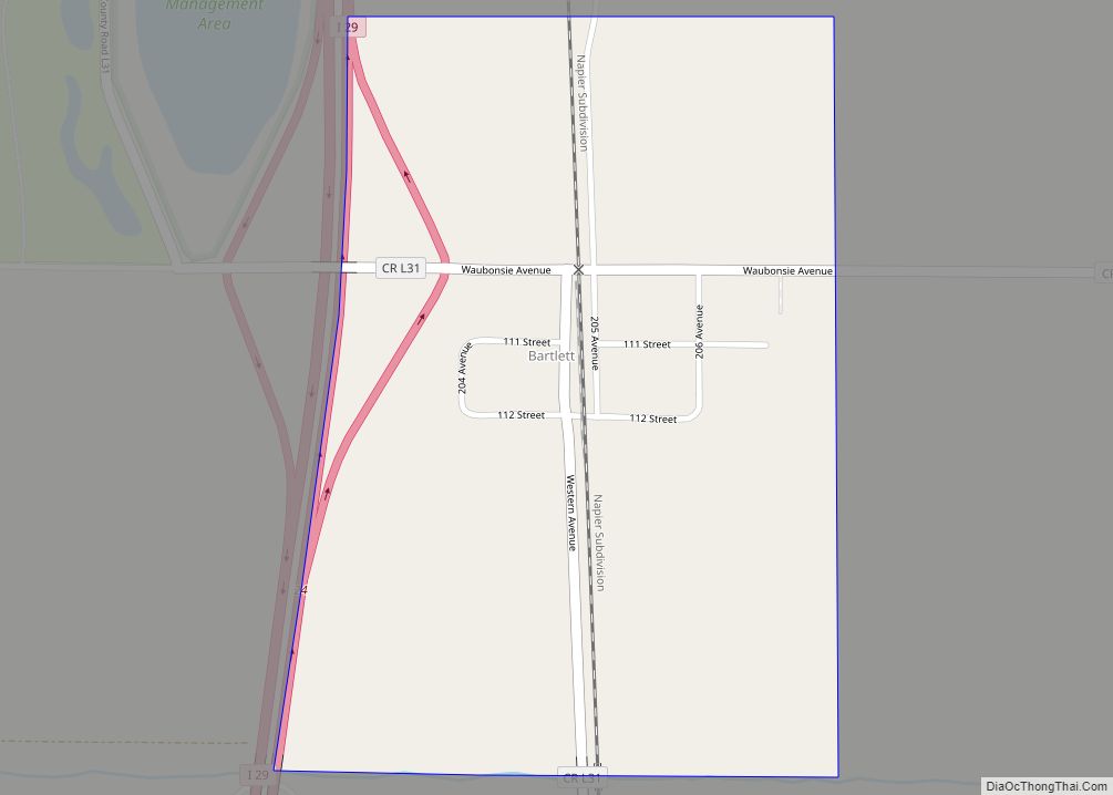
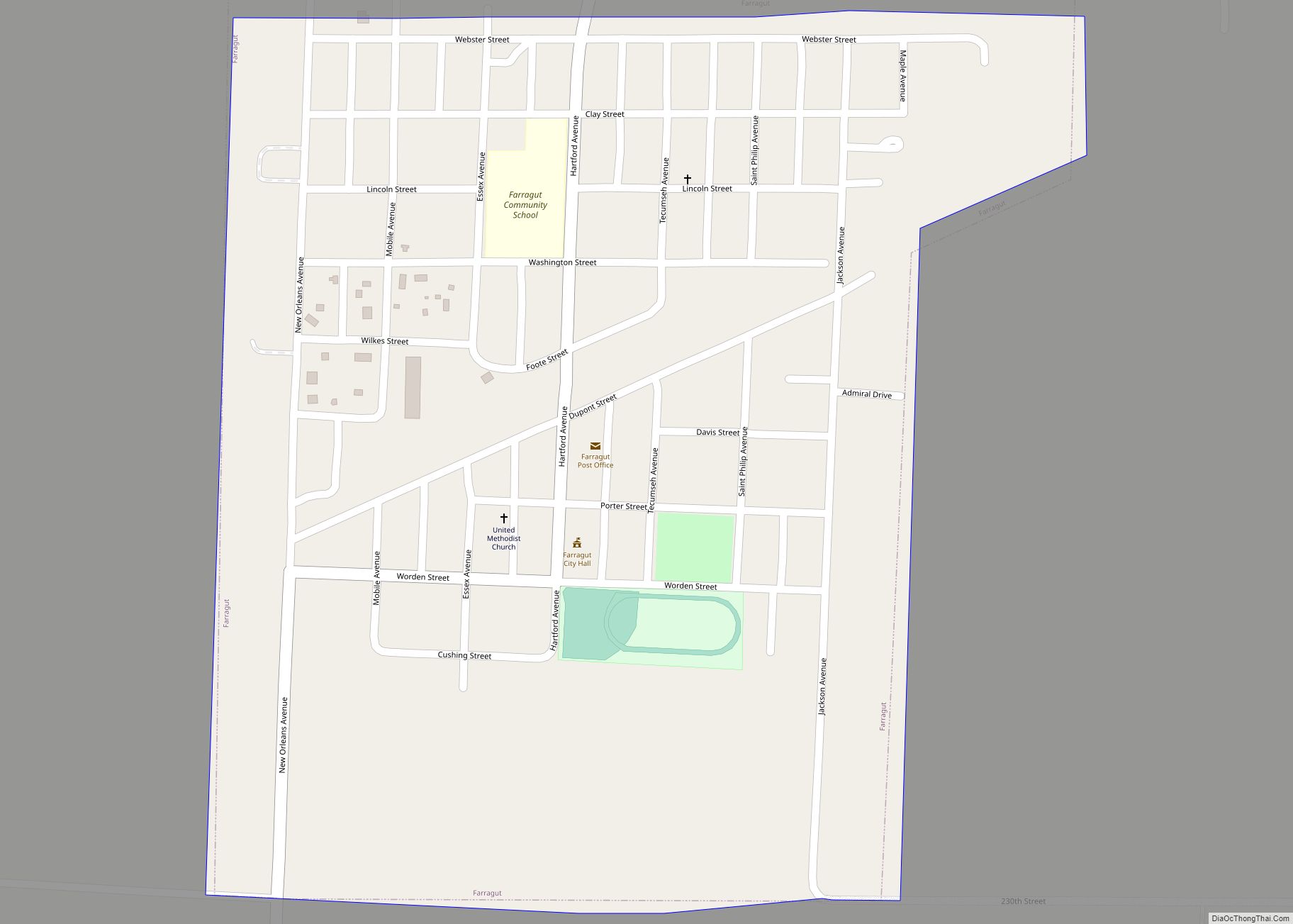
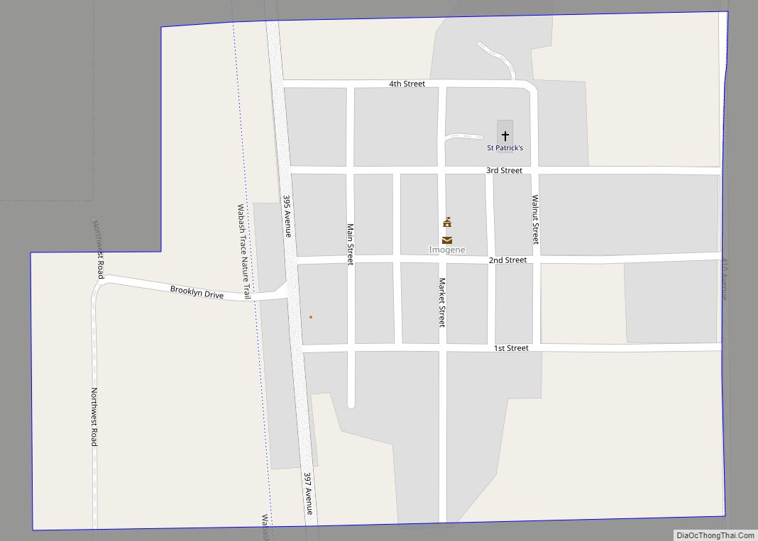
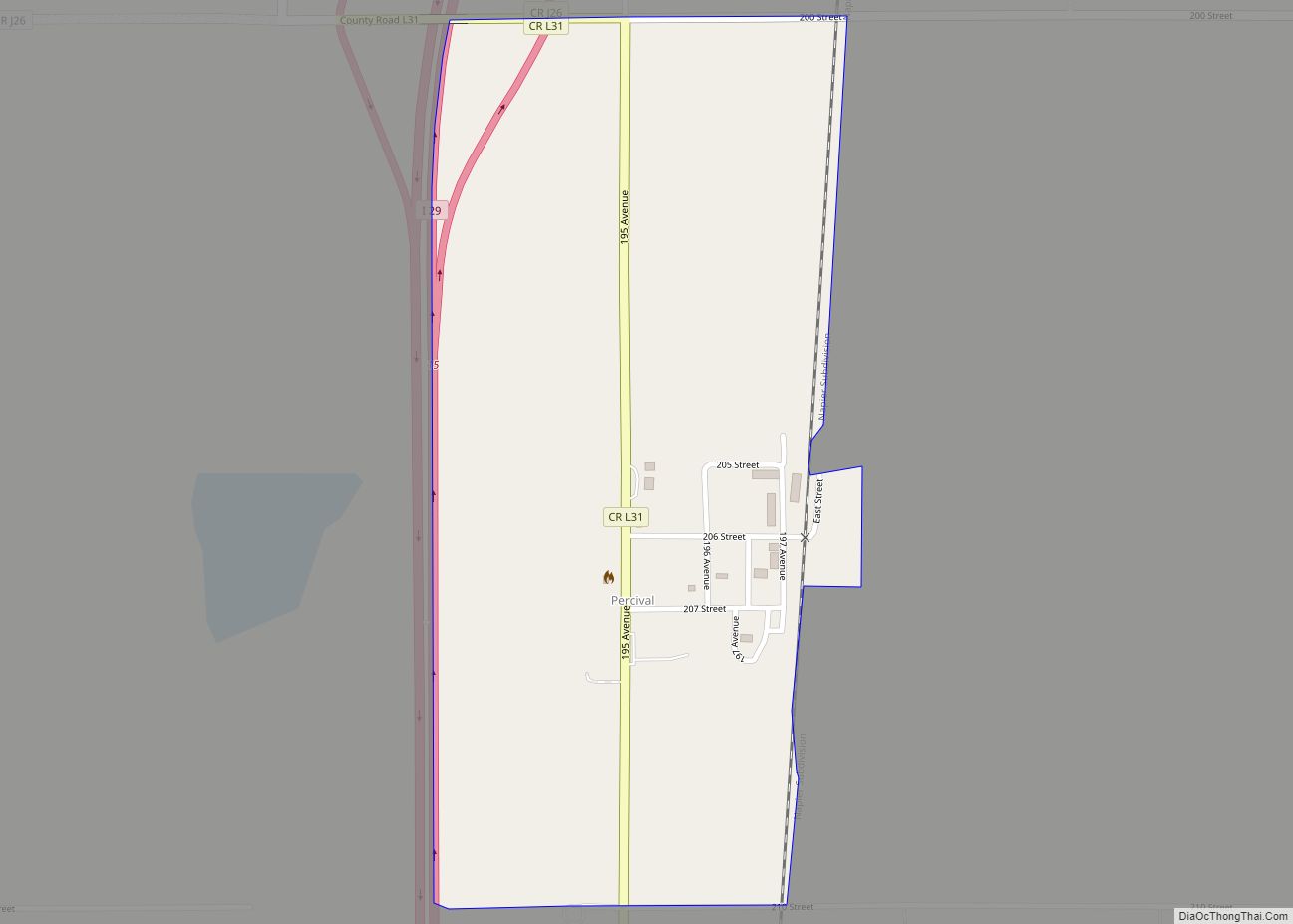
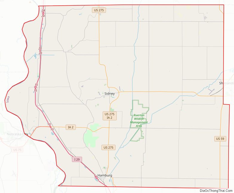
Fremont County Road Map
Geography
According to the U.S. Census Bureau, the county has a total area of 517 square miles (1,340 km), of which 511 square miles (1,320 km) is land and 5.5 square miles (14 km) (1.1%) is water.
Major highways
- Interstate 29
- U.S. Highway 59
- U.S. Highway 275
- Iowa Highway 2
- Iowa Highway 333
Adjacent counties
- Mills County (north)
- Page County (east)
- Atchison County, Missouri (south)
- Otoe County, Nebraska (southwest)
- Cass County, Nebraska (northwest)
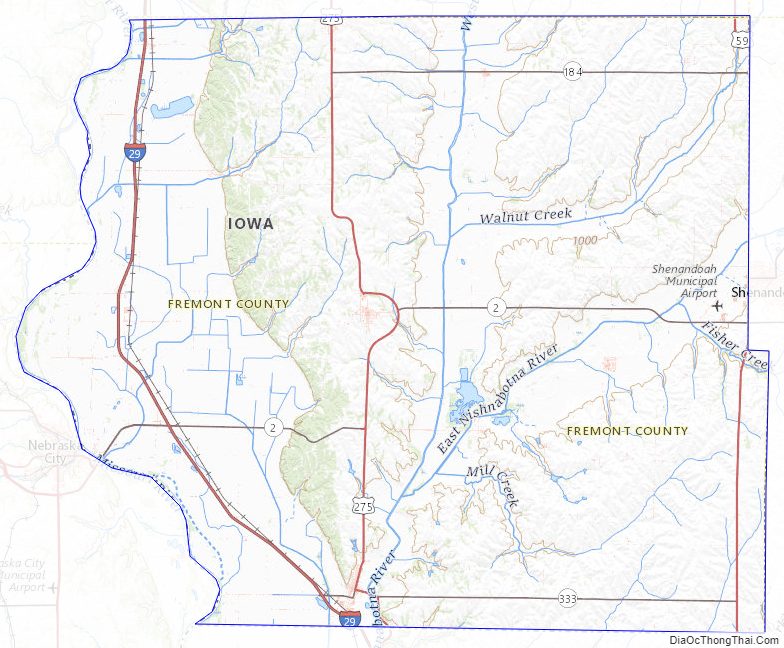
Fremont County Topographic Map
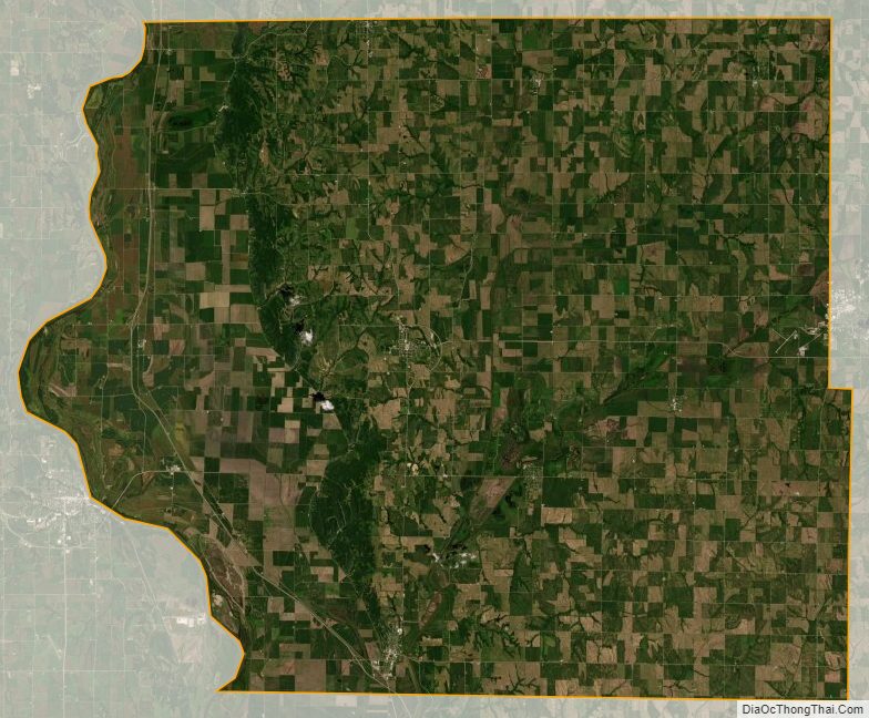
Fremont County Satellite Map
Fremont County Outline Map