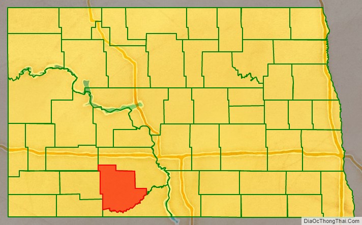
Grant County is a county in the U.S. state of North Dakota. As of the 2020 census, the population was 2,301. Its county seat is Carson.
| Name: | Grant County |
|---|---|
| FIPS code: | 38-037 |
| State: | North Dakota |
| Founded: | 1916 |
| Named for: | Ulysses S. Grant |
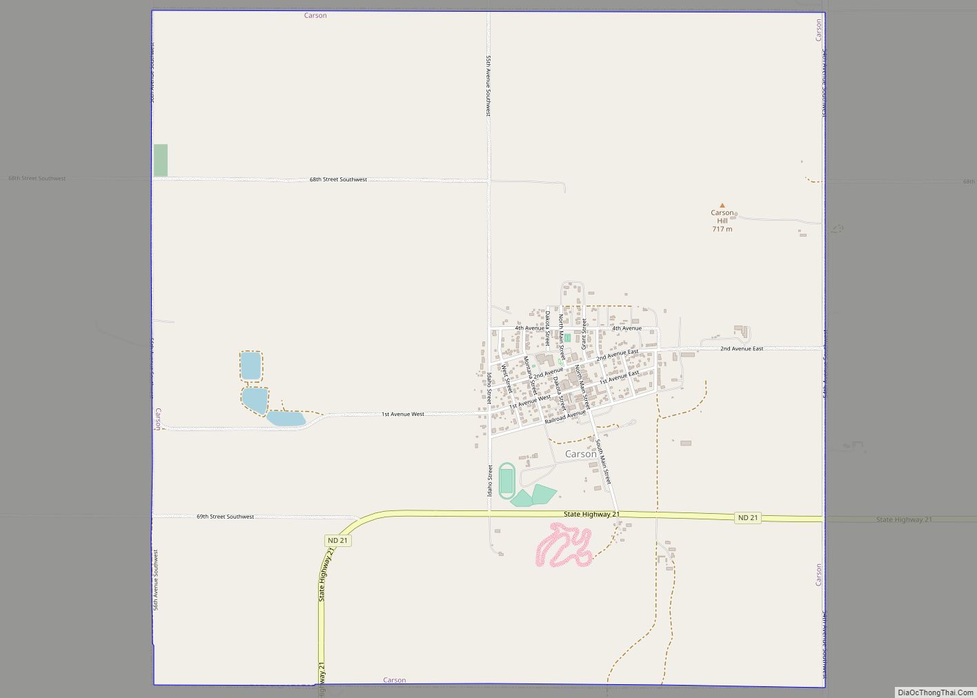
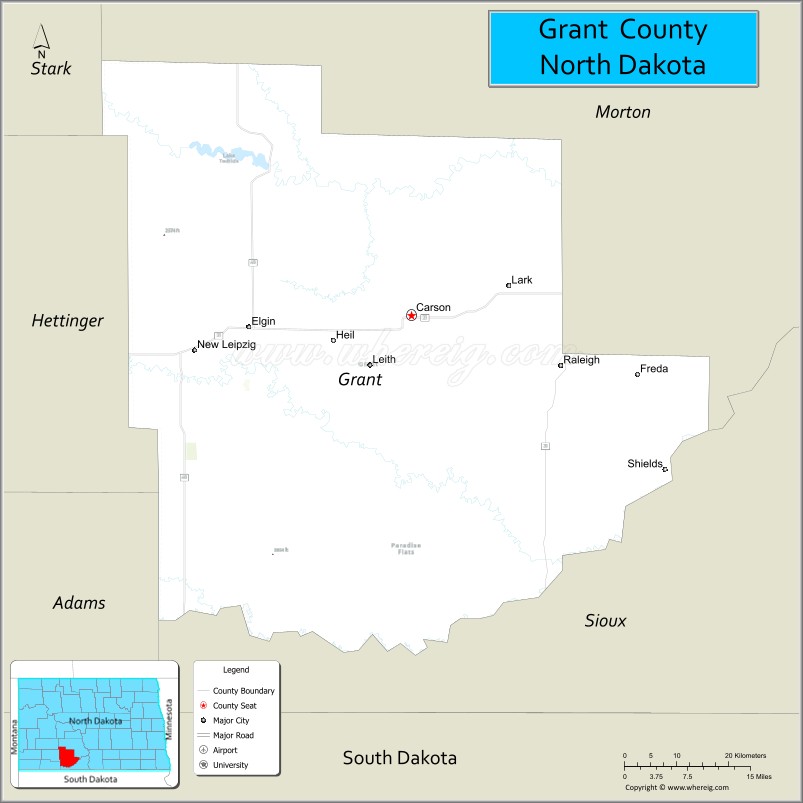
| Seat: | Carson |
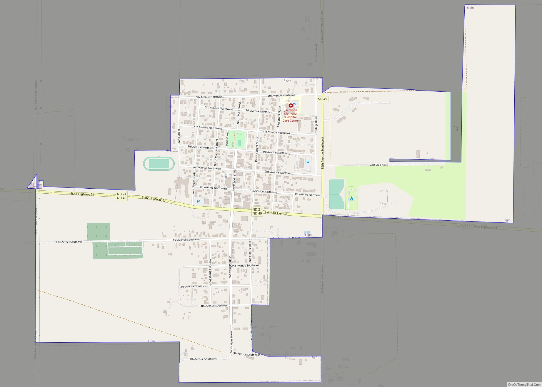
| Largest city: | Elgin |
| Total Area: | 1,666 sq mi (4,310 km²) |
| Land Area: | 1,659 sq mi (4,300 km²) |
| Total Population: | 2,301 |
| Population Density: | 1.4/sq mi (0.53/km²) |
| Time zone: | UTC−7 (Mountain) |
| Summer Time Zone (DST): | UTC−6 (MDT) |
| Website: | grantcountynd.com |
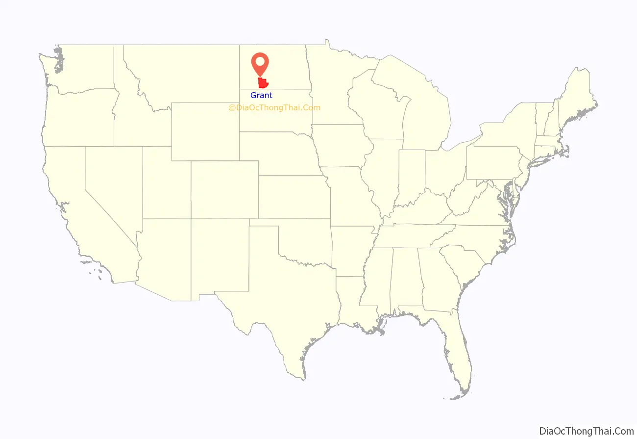
Grant County location map. Where is Grant County?
History
The territory of Grant County was part of Morton County until 1916. On November 7 the county voters determined that the SW portion of the county would be partitioned off to form a new county, to be named after Ulysses S. Grant, the US President from 1869 to 1877. Accordingly, the county government was organized on November 28, with Carson as the seat. The county’s boundaries have remained unchanged since its creation.
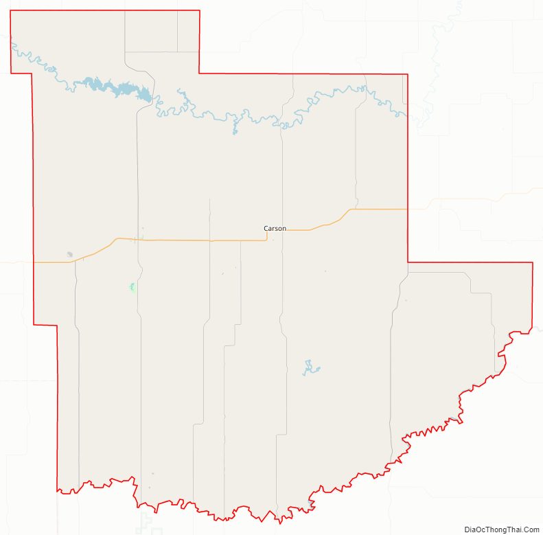
Grant County Road Map
Geography
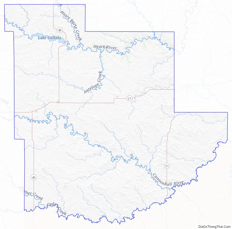
The Heart River flows eastward through the upper part of Grant County, and Cedar Creek flows east-northeastward along the county’s southern boundary line. The county terrain consists of isolated hills among rolling hills, carved by drainages. The semi-arid ground is partially devoted to agriculture. The terrain slopes to the east and south; its highest point is a rise near its southwestern corner, at 2,680′ (817m) ASL. The county has a total area of 1,666 square miles (4,310 km), of which 1,659 square miles (4,300 km) is land and 6.8 square miles (18 km) (0.4%) is water. Lake Tschida, a Bureau of Reclamation reservoir and recreation area on the Heart River, is the county’s largest body of water.
The southwestern corner of North Dakota observes Mountain Time (Adams, Billings, Bowman, Golden Valley, Grant, Hettinger, Slope, and Stark counties). The counties of McKenzie, Dunn, and Sioux counties are split, with the western portions of each observing Mountain Time.
Major highways
- North Dakota Highway 21
- North Dakota Highway 31
- North Dakota Highway 49
Adjacent counties
- Morton County – northeast (observes Central Time)
- Sioux County – south
- Adams County – southwest
- Hettinger County – west
- Stark County – northwest
Protected areas
- Cedar River National Grassland (part)
- Heart Butte River State Game Management Area
- Otter Creek State Game Management Area
- Pretty Rock National Wildlife Refuge
- Sheep Creek Dam State Recreation Area
Lakes
- Pretty Rock Lake
- Sheep Creek Dam
- Lake Tschida
Grant County Topographic Map
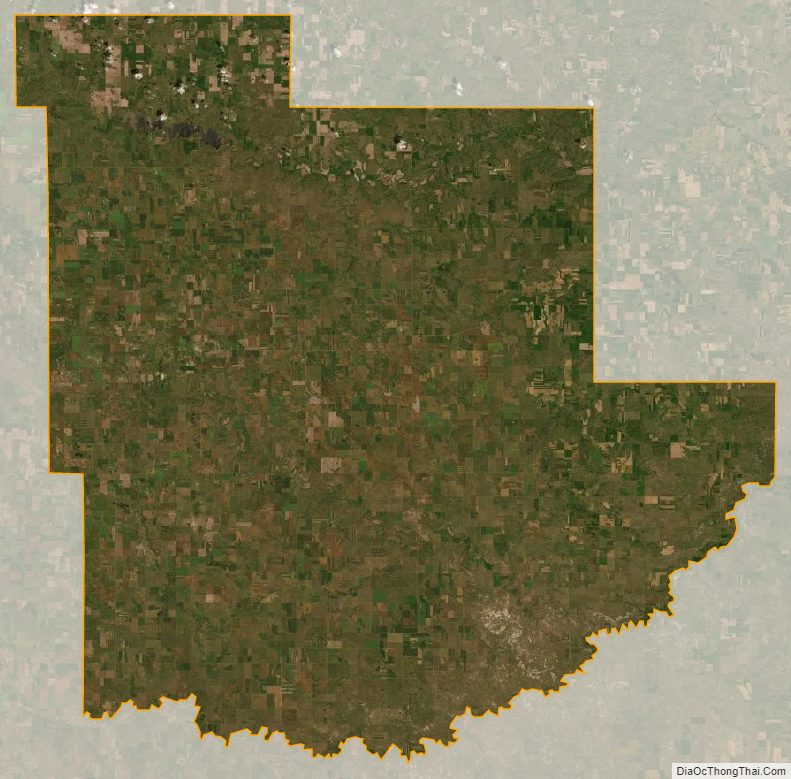
Grant County Satellite Map
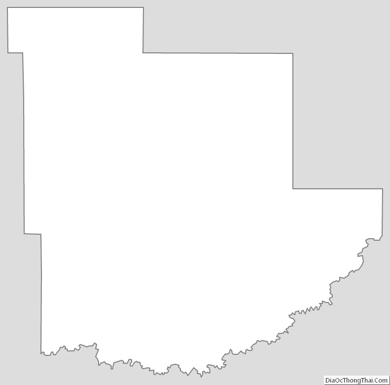
Grant County Outline Map