| Name: | Greenlee County |
|---|---|
| FIPS code: | 04-011 |
| State: | Arizona |
| Founded: | March 10, 1909 |
| Named for: | Mason Greenlee |
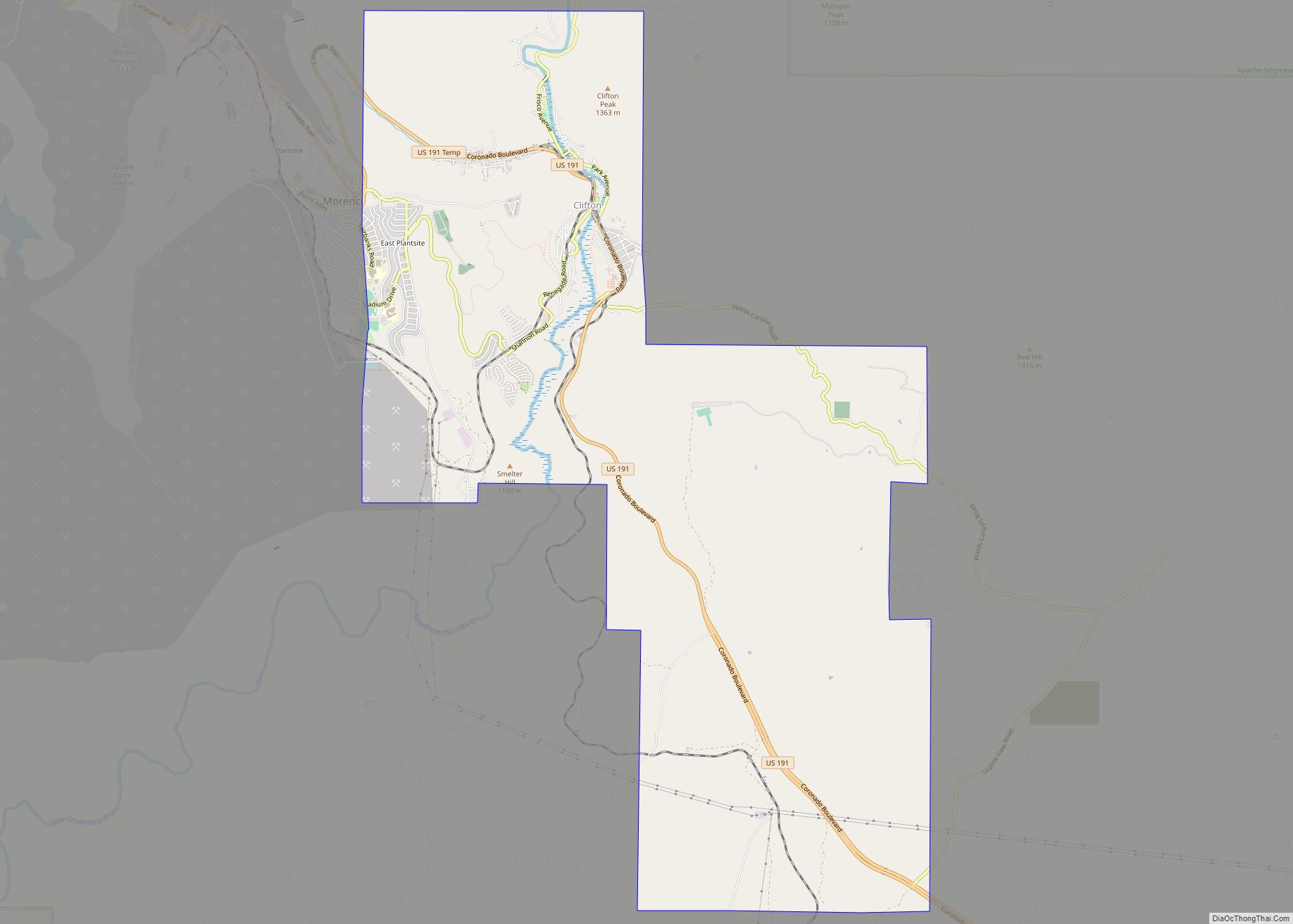
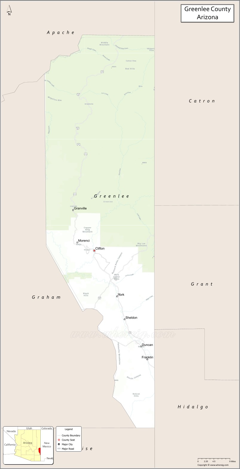
| Seat: | Clifton |
| Largest town: | Clifton |
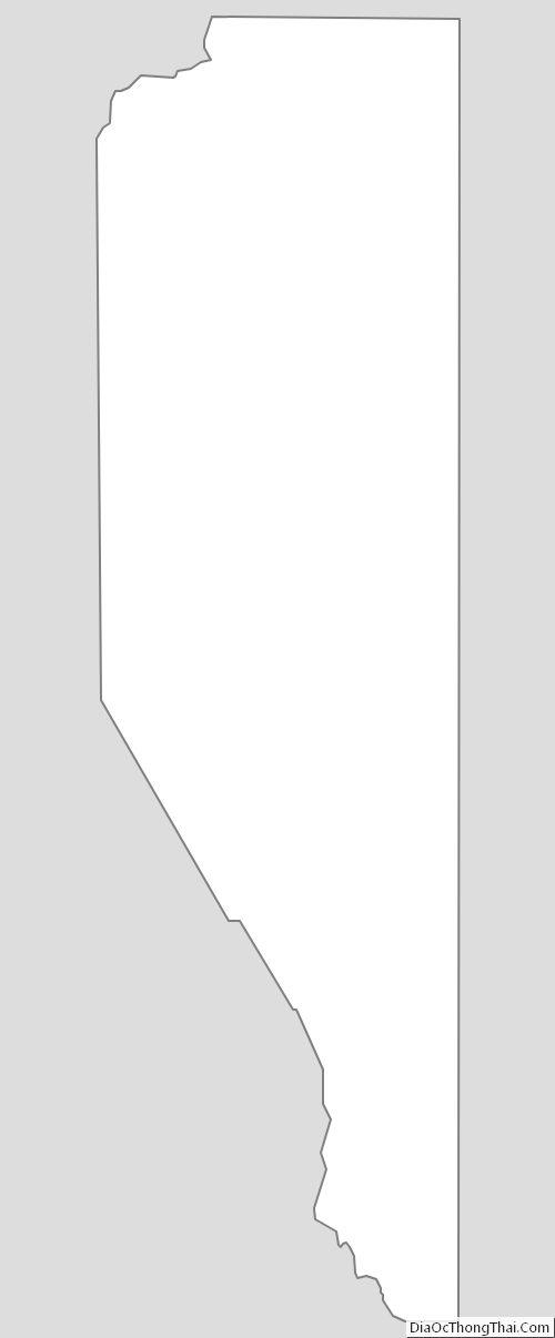
| Total Area: | 1,848 sq mi (4,790 km²) |
| Land Area: | 1,843 sq mi (4,770 km²) |
| Total Population: | 9,563 |
| Population Density: | 5.2/sq mi (2.0/km²) |
| Time zone: | UTC−7 (Mountain) |
| Website: | www.co.greenlee.az.us |
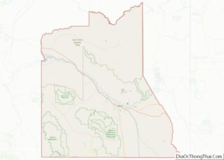
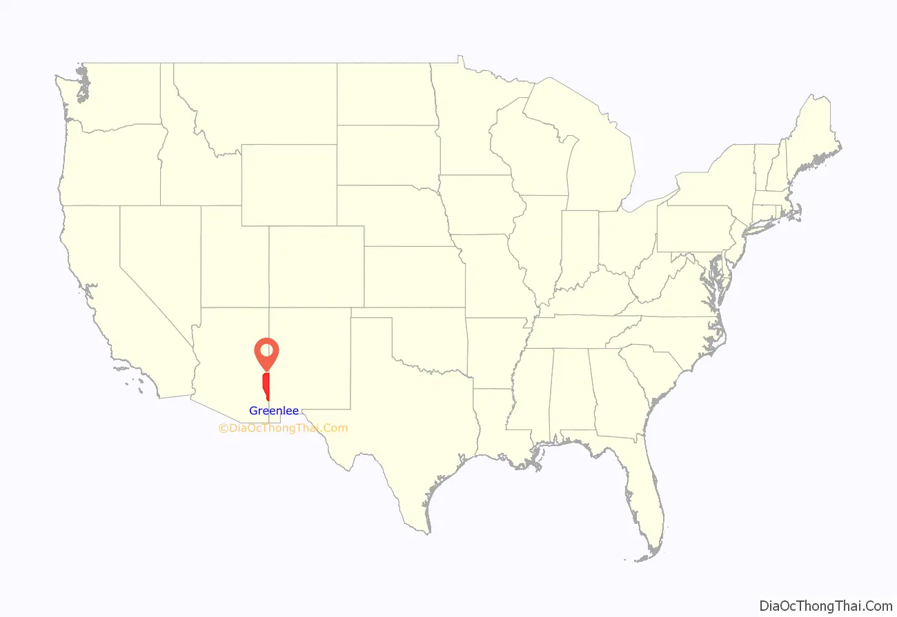
Greenlee County location map. Where is Greenlee County?
History
Greenlee County was created in 1909 and named for Mason Greenlee who was an early settler in the Clifton area. It was Arizona’s 14th county and formed from part of Graham County, which opposed the formation because Graham County would lose considerable revenue. Clifton has always been the county seat.
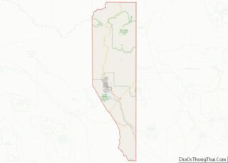
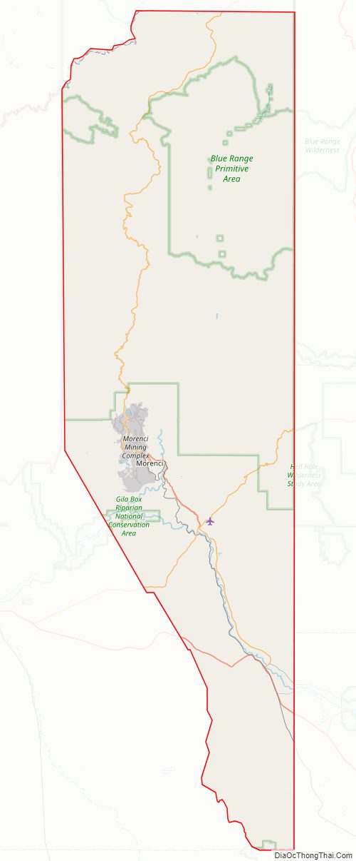
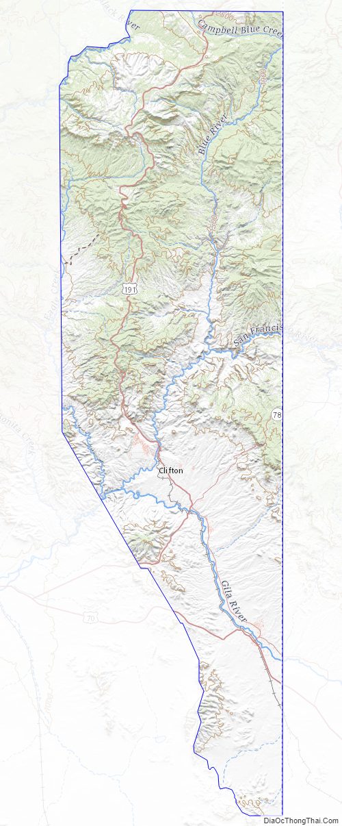
Greenlee County Road Map
Geography
According to the United States Census Bureau, the county has a total area of 1,848 square miles (4,790 km), of which 1,843 square miles (4,770 km) is land and 5.3 square miles (14 km) (0.3%) is water. It is the second-smallest county by area in Arizona.
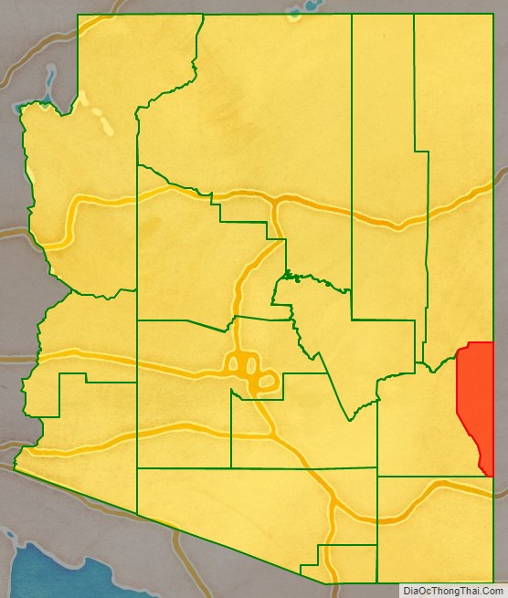
Adjacent counties
- Cochise County – south
- Graham County – west
- Apache County – north
- Catron County, New Mexico – east
- Grant County, New Mexico – east
- Hidalgo County, New Mexico – southeast
National protected areas
- Apache-Sitgreaves National Forest (part)
- Gila Box Riparian National Conservation Area (part)
Major highways
- U.S. Route 70
- U.S. Route 191
- State Route 75
- State Route 78
Greenlee County Topographic Map
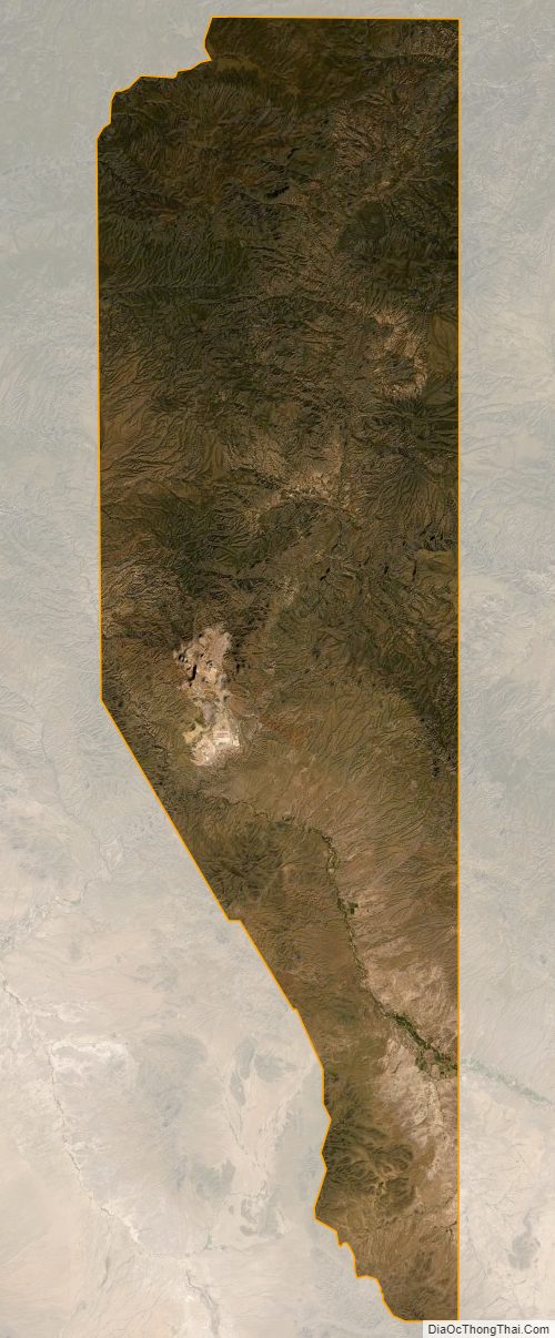
Greenlee County Satellite Map
Greenlee County Outline Map