Gulf County is a county located in the panhandle of the U.S. state of Florida. As of the 2020 census, the population was 14,192. Its county seat is Port St. Joe.
Gulf County is included in the Panama City, FL Metropolitan Statistical Area.
| Name: | Gulf County |
|---|---|
| FIPS code: | 12-045 |
| State: | Florida |
| Founded: | June 6, 1925 |
| Named for: | Gulf of Mexico |
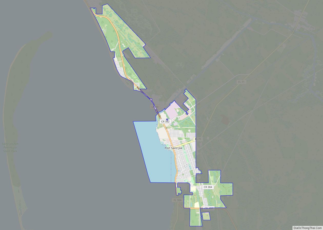
| Seat: | Port St. Joe |
| Largest city: | Port St. Joe |
| Total Area: | 756 sq mi (1,960 km²) |
| Land Area: | 564 sq mi (1,460 km²) |
| Total Population: | 14,192 |
| Population Density: | 28.6/sq mi (11.0/km²) |
| Summer Time Zone (DST): | UTC−4 (EDT) |
| Website: | www.gulfcounty-fl.gov |
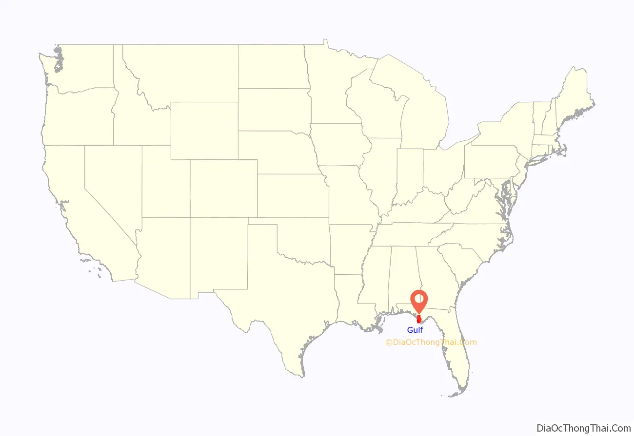
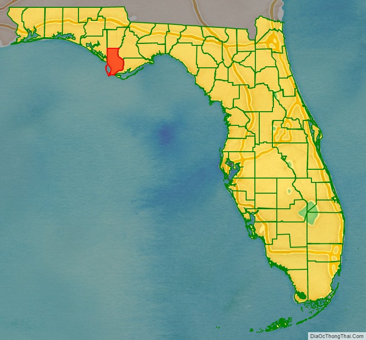
Gulf County location map. Where is Gulf County?
History
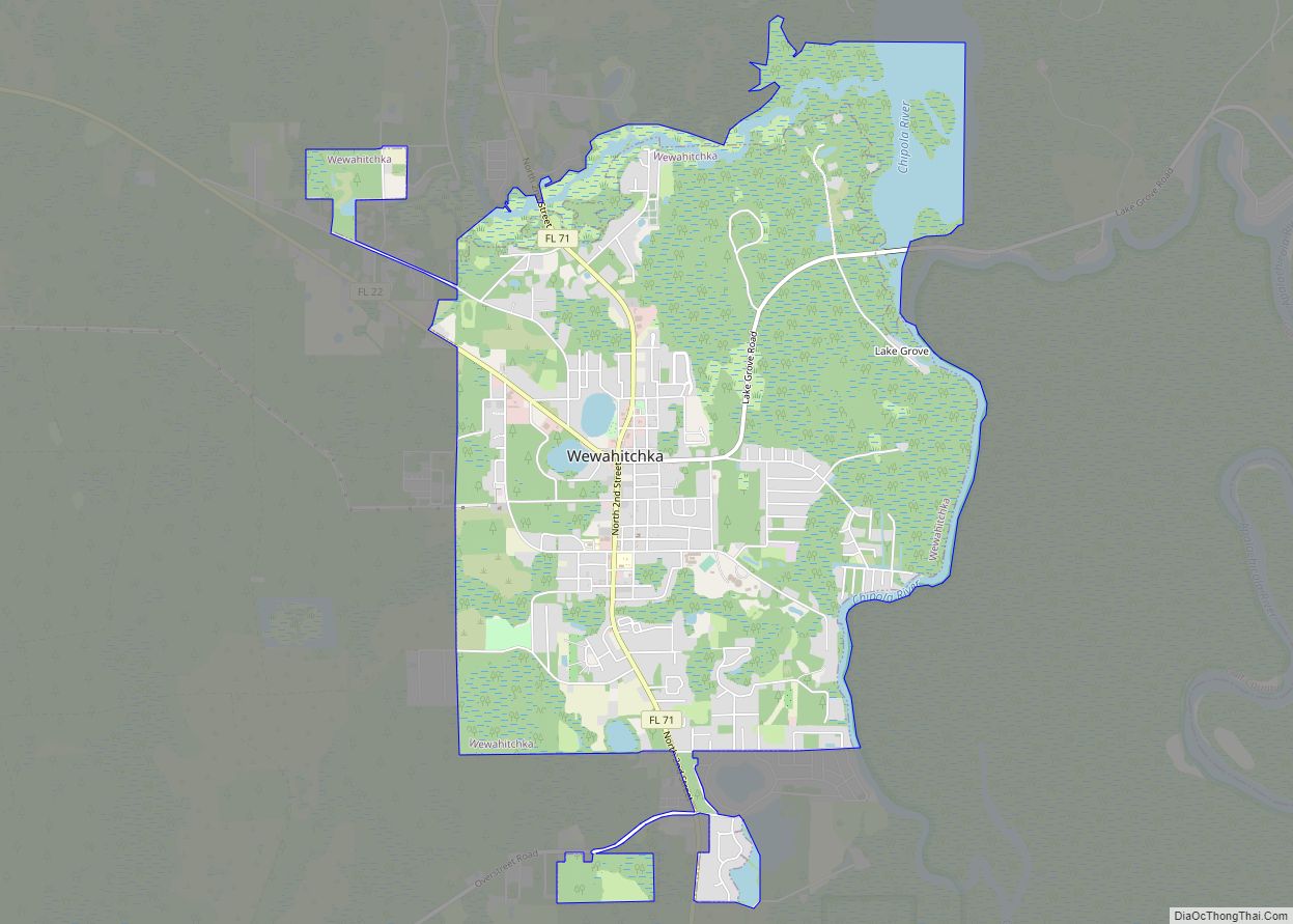
Gulf County, created in 1925, was named for the Gulf of Mexico. Wewahitchka was its first county seat and the 1927 Gulf County Courthouse is still in existence. In 1965 the county seat was moved to Port Saint Joe, which under its original name Saint Joseph, had been the site of Florida‘s first Constitutional Convention in 1838.
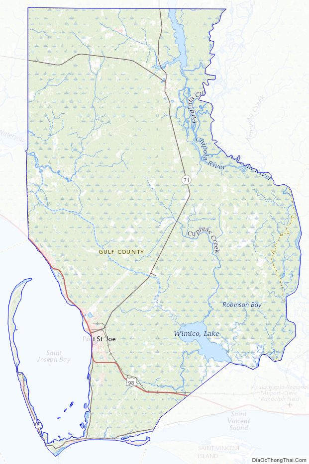
Gulf County Road Map
Geography
According to the U.S. Census Bureau, the county has a total area of 756 square miles (1,960 km), of which 564 square miles (1,460 km) is land and 192 square miles (500 km) (25.4%) is water.
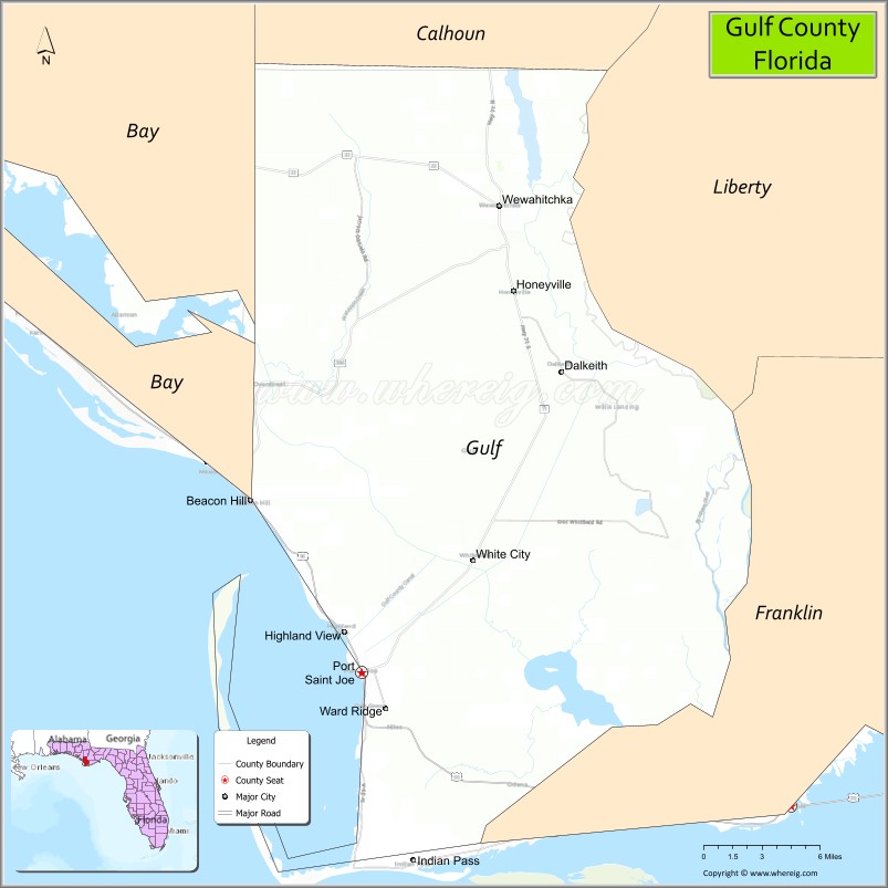
Communities
Unincorporated areas include:
- Cape San Blas
- Dalkeith
- Highland View
- Honeyville
- Howard Creek
- Indian Pass
- Oak Grove
- Overstreet
- St. Joe Beach
- White City
Time zones
By way of the Intracoastal Waterway, Gulf County is one of a small number of counties in the United States to be in two time zones, Eastern and Central in this case.
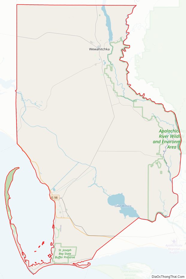
Adjacent counties
- Calhoun County, Florida — north
- Liberty County, Florida — northeast
- Franklin County, Florida — east
- Bay County, Florida — west
National protected area
- St. Vincent National Wildlife Refuge (part)
Gulf County Topographic Map
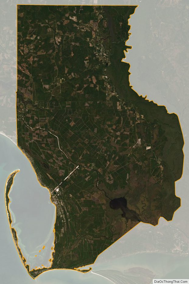
Gulf County Satellite Map
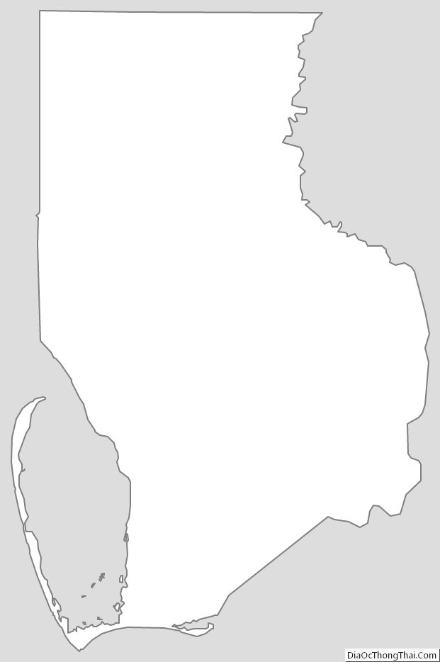
Gulf County Outline Map