Panama City is a city in and the county seat of Bay County, Florida, United States. Located along U.S. Highway 98 (US 98), it is the largest city between Tallahassee and Pensacola. It is also the most populated city of the Panama City–Lynn Haven, Florida metropolitan statistical area. Panama City was severely damaged when Hurricane Michael made landfall as a Category 5 hurricane on October 10, 2018. As of the 2020 census, the population was 35,392, down from the figure of 36,484 at the 2010 census.
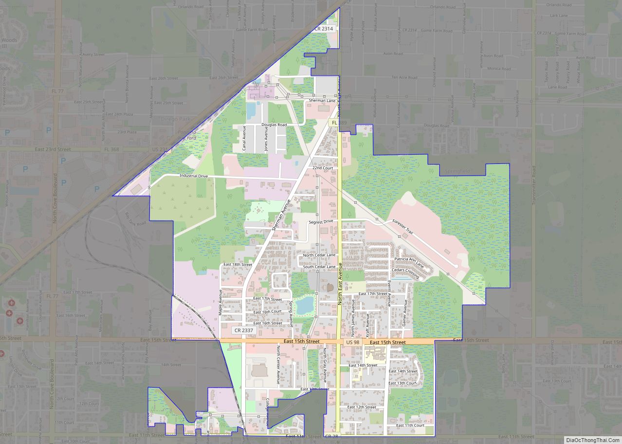
When Panama City was incorporated in 1909, its original city limits were 15th Street (Hwy 98) on the north, Balboa Avenue on the west and Bay Avenue on the east.
| Name: | Panama City city |
|---|---|
| LSAD Code: | 25 |
| LSAD Description: | city (suffix) |
| State: | Florida |
| County: | Bay County |
| Incorporated: | 1909 |
| Elevation: | 26 ft (8 m) |
| Land Area: | 35.12 sq mi (90.97 km²) |
| Water Area: | 6.15 sq mi (15.93 km²) |
| Population Density: | 937.82/sq mi (362.09/km²) |
| Area code: | 850, 448 |
| FIPS code: | 1254700 |
| GNISfeature ID: | 0288448 |
| Website: | www.pcgov.org |
Online Interactive Map
Click on ![]() to view map in "full screen" mode.
to view map in "full screen" mode.
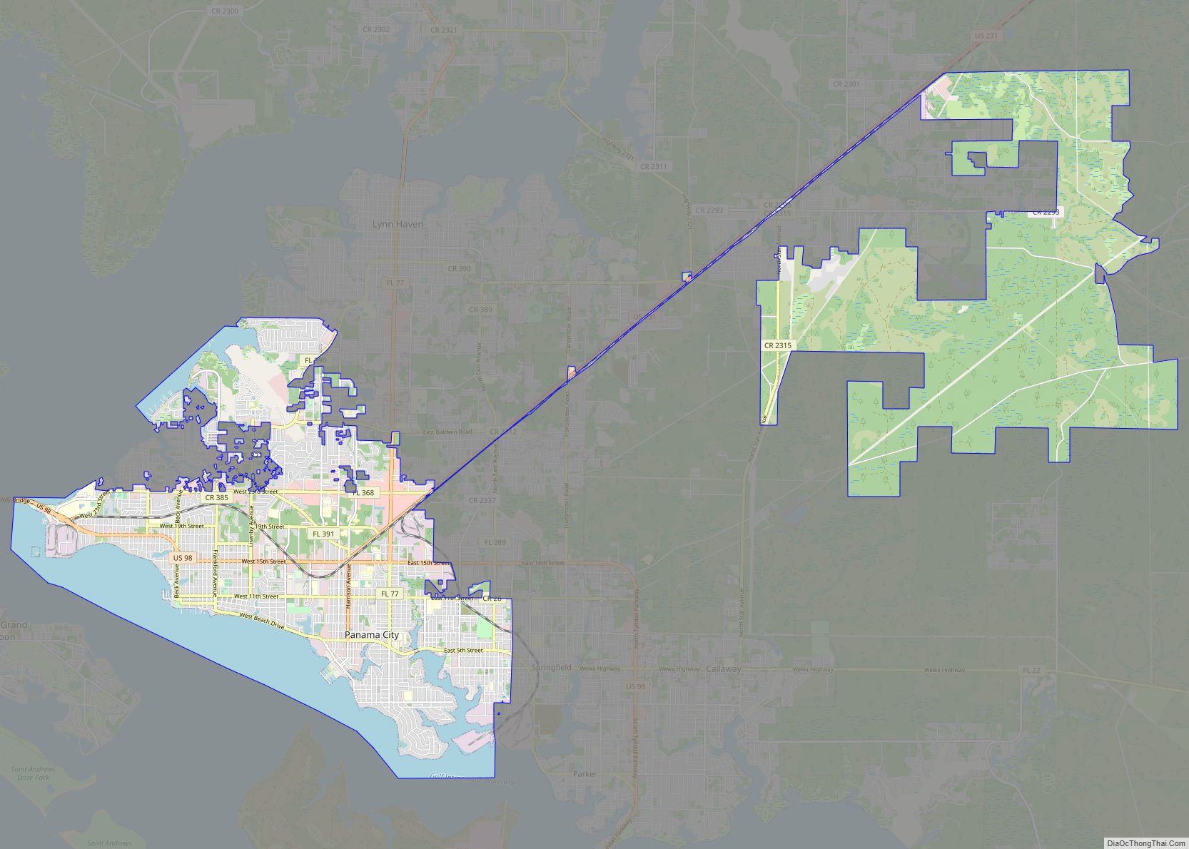
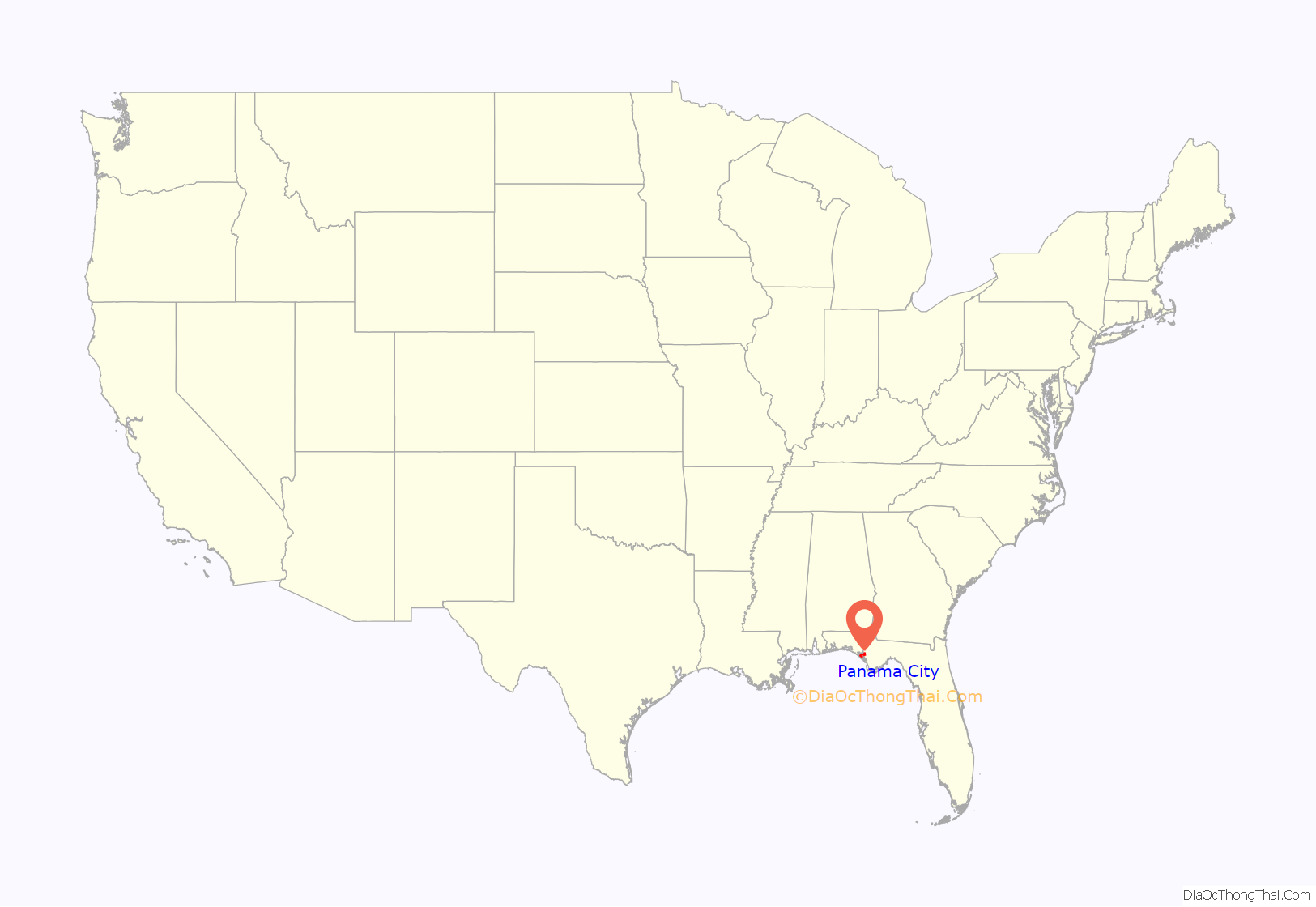
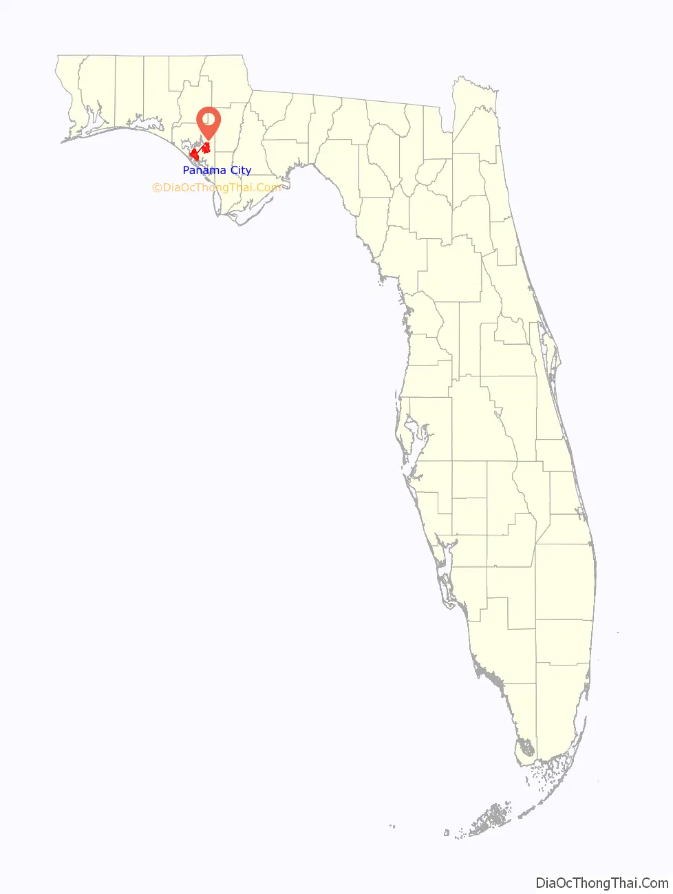
Panama City location map. Where is Panama City city?
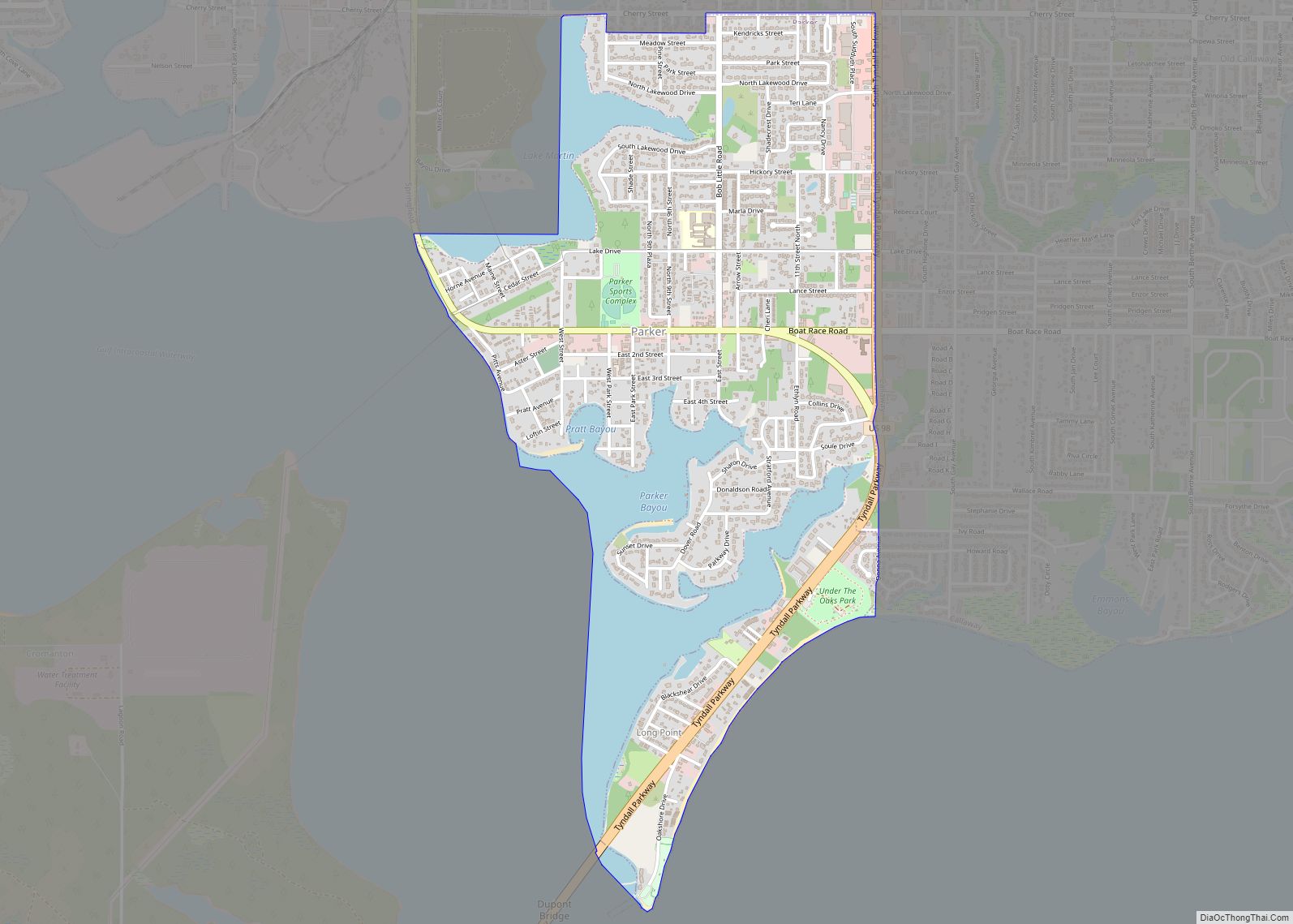
Panama City Road Map
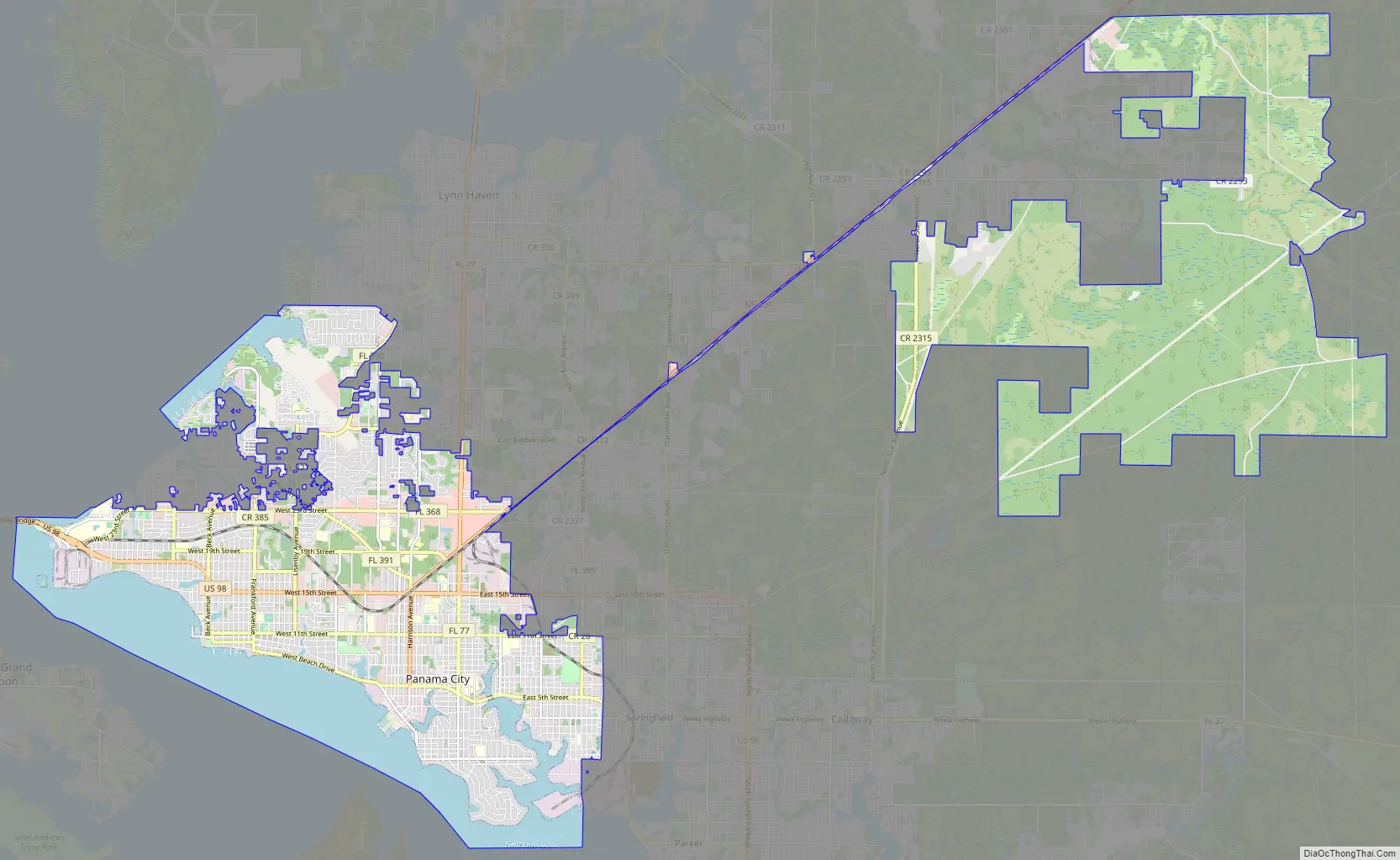
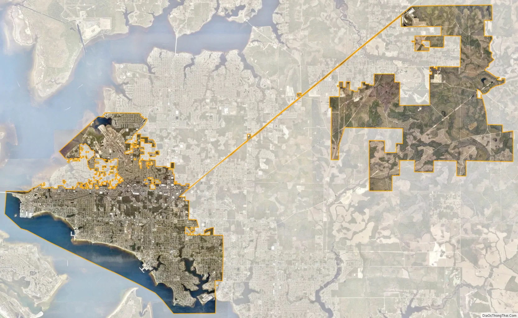
Panama City city Satellite Map
Geography
Panama City is located at 30°10′28″N 85°39′52″W / 30.17444°N 85.66444°W / 30.17444; -85.66444 (30.174451, –85.664480) within the Florida Panhandle and along the Emerald Coast. According to the United States Census Bureau, the city limits encompass an area of 35.4 square miles (91.8 km), of which 29.3 square miles (75.8 km) is land and 6.2 square miles (16.0 km), or 17.39%, is water.
Climate
Panama City has a humid subtropical climate, with short, mild winters and long, hot and humid summers. In January, the average low is 42.6 °F (5.9 °C), and in July the average high is 91.1 °F (32.8 °C).
Due to its location on the Gulf Coast, the city is susceptible to tropical cyclones. In 2018, Panama City was directly hit by Hurricane Michael, which caused catastrophic damage to the city and surrounding communities, with winds of 160 mph (260 km/h) at landfall. The city previously suffered significant indirect impacts from Hurricane Ivan (2004) and Hurricane Opal (1995). The city was also heavily damaged by an EF2 tornado on March 18, 2022.
Time zone
Panama City is part of the Central Time Zone, unlike the city of Tallahassee to its east.
See also
Map of Florida State and its subdivision:- Alachua
- Baker
- Bay
- Bradford
- Brevard
- Broward
- Calhoun
- Charlotte
- Citrus
- Clay
- Collier
- Columbia
- Desoto
- Dixie
- Duval
- Escambia
- Flagler
- Franklin
- Gadsden
- Gilchrist
- Glades
- Gulf
- Hamilton
- Hardee
- Hendry
- Hernando
- Highlands
- Hillsborough
- Holmes
- Indian River
- Jackson
- Jefferson
- Lafayette
- Lake
- Lee
- Leon
- Levy
- Liberty
- Madison
- Manatee
- Marion
- Martin
- Miami-Dade
- Monroe
- Nassau
- Okaloosa
- Okeechobee
- Orange
- Osceola
- Palm Beach
- Pasco
- Pinellas
- Polk
- Putnam
- Saint Johns
- Saint Lucie
- Santa Rosa
- Sarasota
- Seminole
- Sumter
- Suwannee
- Taylor
- Union
- Volusia
- Wakulla
- Walton
- Washington
- Alabama
- Alaska
- Arizona
- Arkansas
- California
- Colorado
- Connecticut
- Delaware
- District of Columbia
- Florida
- Georgia
- Hawaii
- Idaho
- Illinois
- Indiana
- Iowa
- Kansas
- Kentucky
- Louisiana
- Maine
- Maryland
- Massachusetts
- Michigan
- Minnesota
- Mississippi
- Missouri
- Montana
- Nebraska
- Nevada
- New Hampshire
- New Jersey
- New Mexico
- New York
- North Carolina
- North Dakota
- Ohio
- Oklahoma
- Oregon
- Pennsylvania
- Rhode Island
- South Carolina
- South Dakota
- Tennessee
- Texas
- Utah
- Vermont
- Virginia
- Washington
- West Virginia
- Wisconsin
- Wyoming