Hale County is a county located in the U.S. state of Texas. As of the 2020 census, its population was 32,522. The county seat is Plainview. The county was created in 1876 and organized in 1888. It is named for Lt. John C. Hale, a hero of the Battle of San Jacinto. Hale County comprises the Plainview, Texas micropolitan statistical area.
| Name: | Hale County |
|---|---|
| FIPS code: | 48-189 |
| State: | Texas |
| Founded: | 1888 |
| Seat: | Plainview |
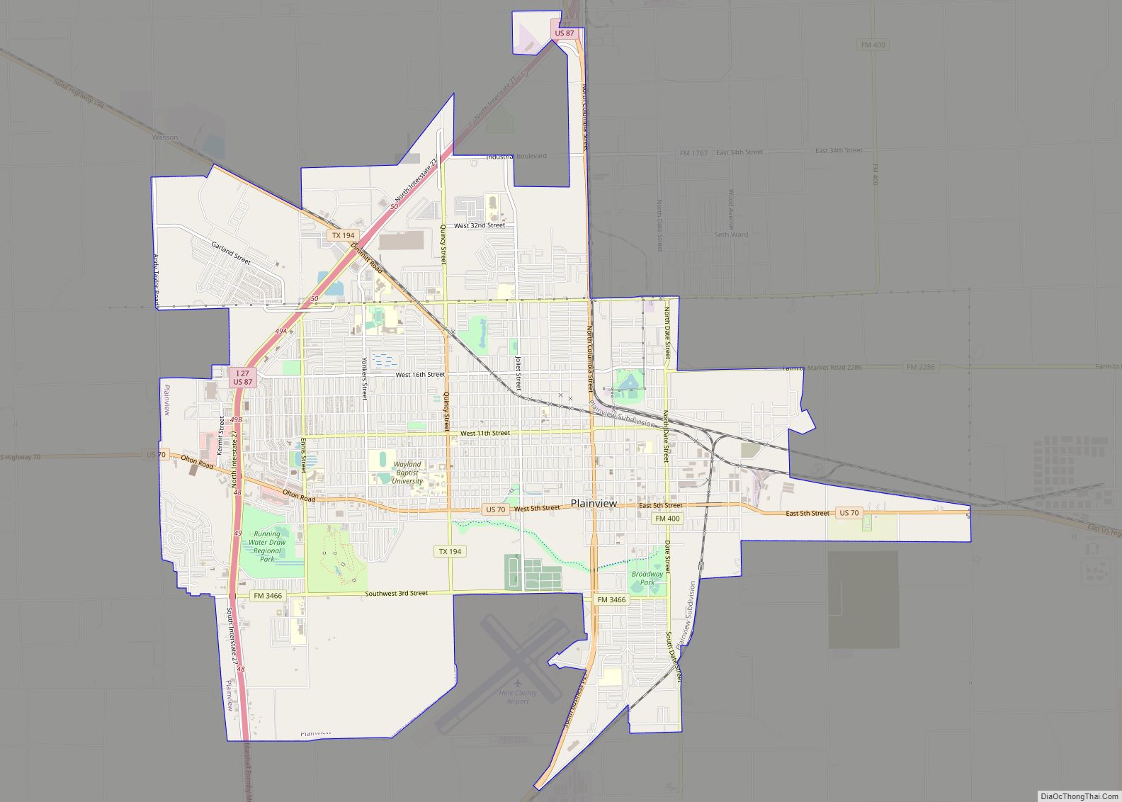
| Largest city: | Plainview |
| Total Area: | 1,005 sq mi (2,600 km²) |
| Land Area: | 1,005 sq mi (2,600 km²) |
| Total Population: | 32,522 |
| Population Density: | 32/sq mi (12/km²) |
| Time zone: | UTC−6 (Central) |
| Summer Time Zone (DST): | UTC−5 (CDT) |
| Website: | www.halecounty.org |
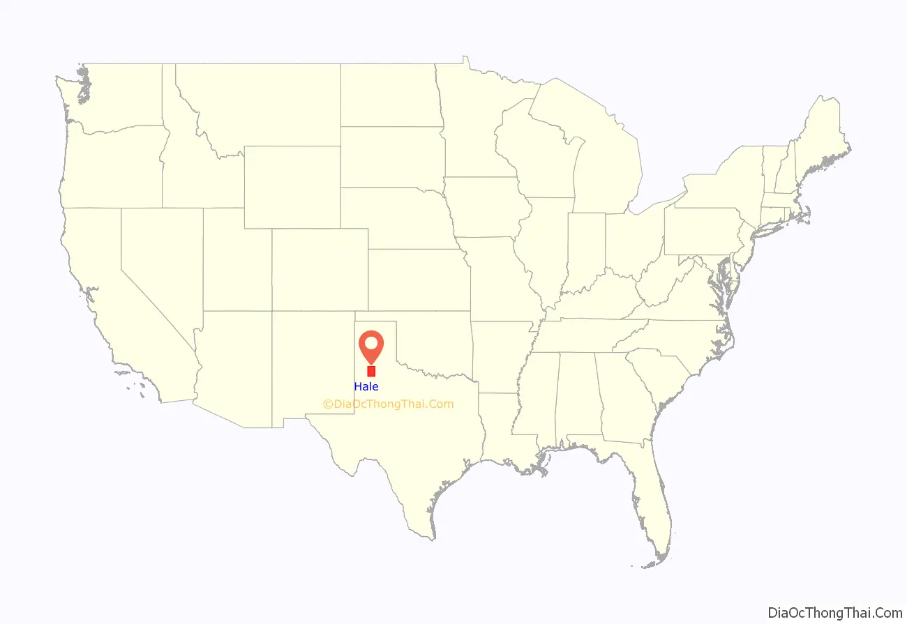
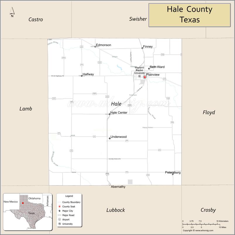
Hale County location map. Where is Hale County?
History
In 7000 BC, Paleo-Indians were the first county inhabitants. Later Native American inhabitants included the Comanche. The Texas Legislature formed Hale County from Bexar County in 1876. A few years later (1881), brothers T.W. and T.N. Morrison, and W.D. Johnson, established the Cross L Ranch and the XIT to raise cattle. In 1883, New York Methodist minister Horatio Graves became the first white permanent settler in the county.
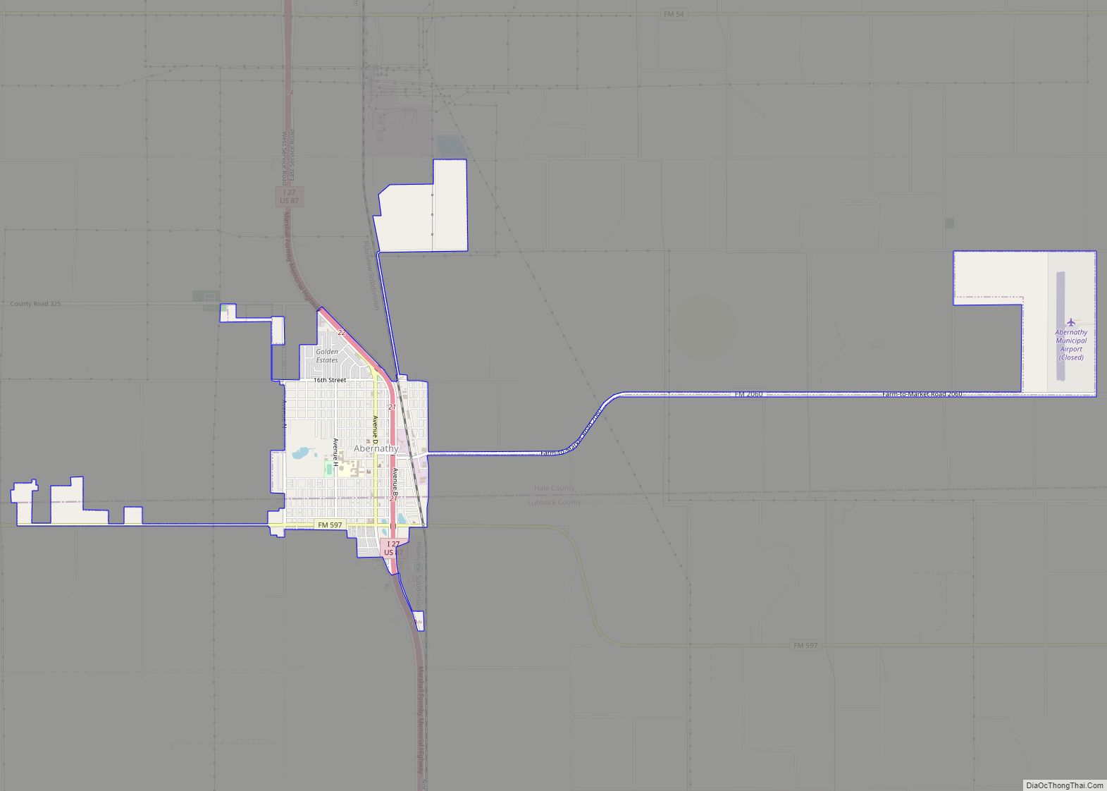
The city of Plainview has its beginnings in 1886 when rancher Zachery Taylor Maxwell moved his family and 2,000 sheep from Floyd County to the site of two hackberry groves on the old military trail established by Col. Ranald S. Mackenzie. The city’s name comes from the area’s vista. The county was organized in 1888, with Plainview as the county seat. By 1900, the county had 259 farms and ranches, with a population of 1,680.
The Santa Fe Railway came to Plainview in 1906, and Wayland Baptist College was founded the same year. In 1909, businessman Levi Schick opened the Schick Opera House. The county’s first motor-driven irrigation well was drilled five years later. The Texas Land and Development Company was organized in Plainview in 1912. Its purpose was to entice settlers by dividing a large tract of land into individual farms, and preparing each farm for occupancy.
The Plainview Site was discovered in 1944. In addition to bone and man-made artifacts, archeologists found the remains of 100 extinct bison about twice the size of modern “buffalo”.
Oil was discovered in 1946 in the Anton-Irish field of Lamb and Hale Counties.
Country artist Jimmy Dean, his brother Don Dean, and cousin-in-law Troy Pritchard founded the Jimmy Dean Sausage Company and opened the Jimmy Dean Meat Company in 1969. As of 2010, Hale County was one of 62 counties in Texas still legally barring the sale of alcohol. As of March 7th 2008, Plainview has allowed the sale of packaged alcohol within the city limits.
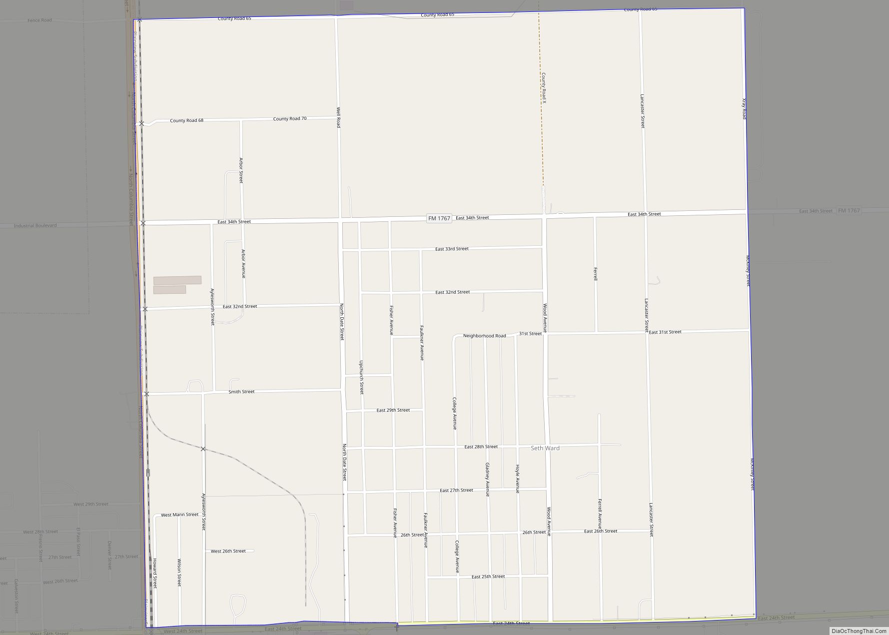
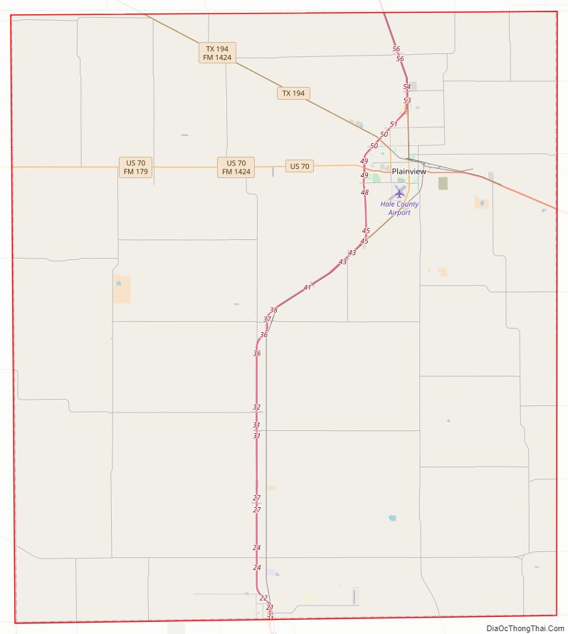
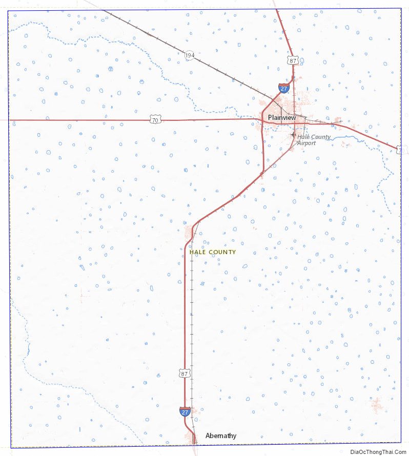
Hale County Road Map
Geography
According to the U.S. Census Bureau, the county has a total area of 1,005 square miles (2,600 km), of which 1,005 square miles (2,600 km) are land and 0.1 square miles (0.26 km) (0.01%) is covered by water.
Major highways
- Interstate 27/U.S. Highway 87
- Interstate 27 Business
- U.S. Highway 70
- State Highway 194
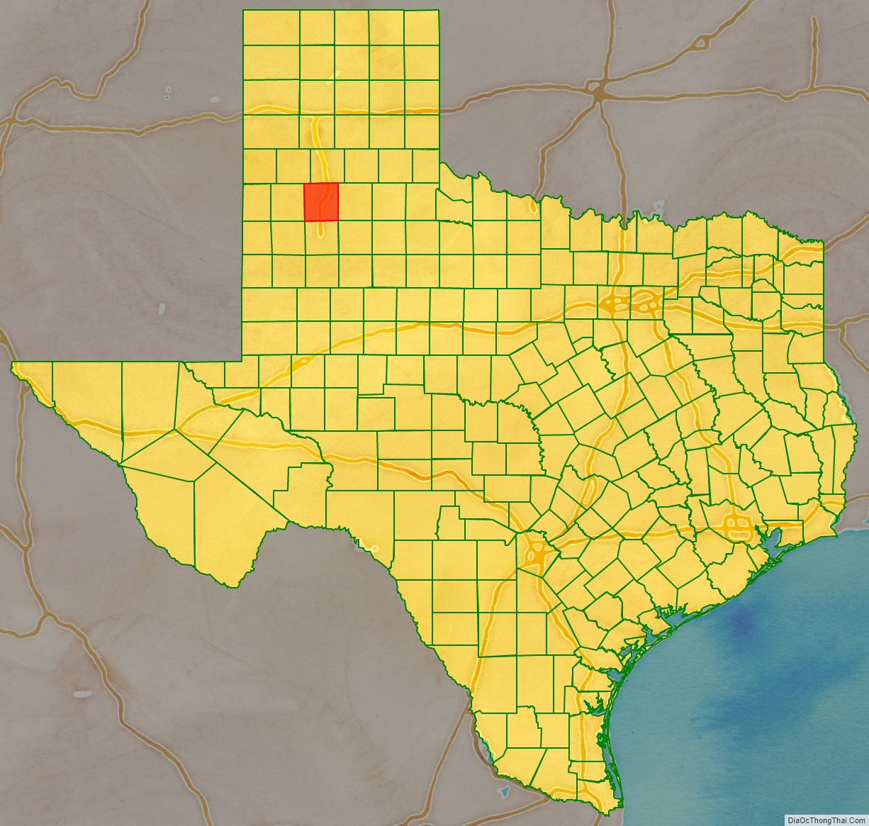
Adjacent counties
- Swisher County (north)
- Floyd County (east)
- Lubbock County (south)
- Lamb County (west)
- Castro County (northwest)
- Hockley County (southwest)
- Crosby County (southeast)
Hale County Topographic Map
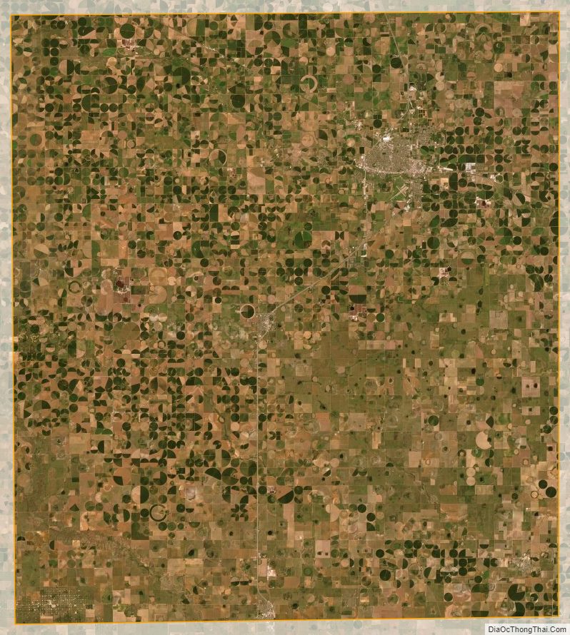
Hale County Satellite Map
Hale County Outline Map