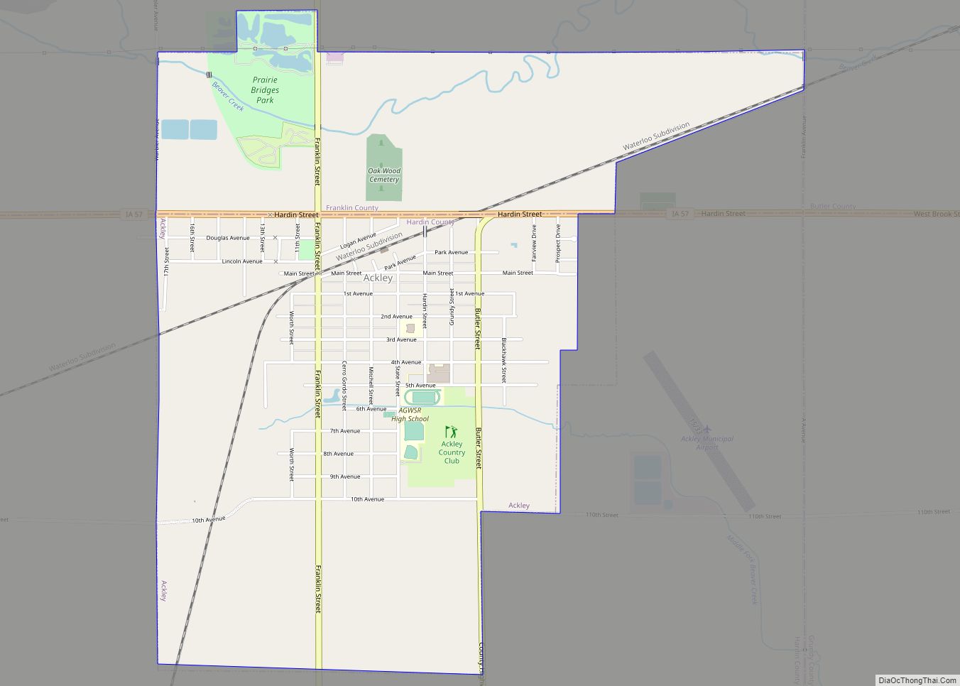
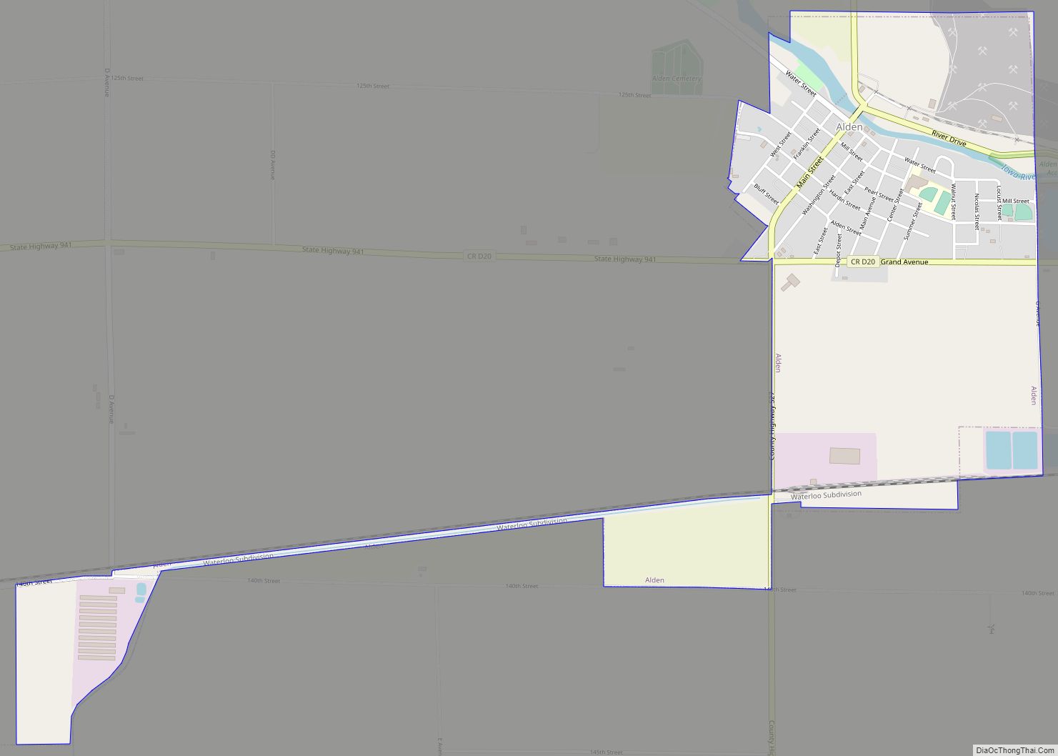
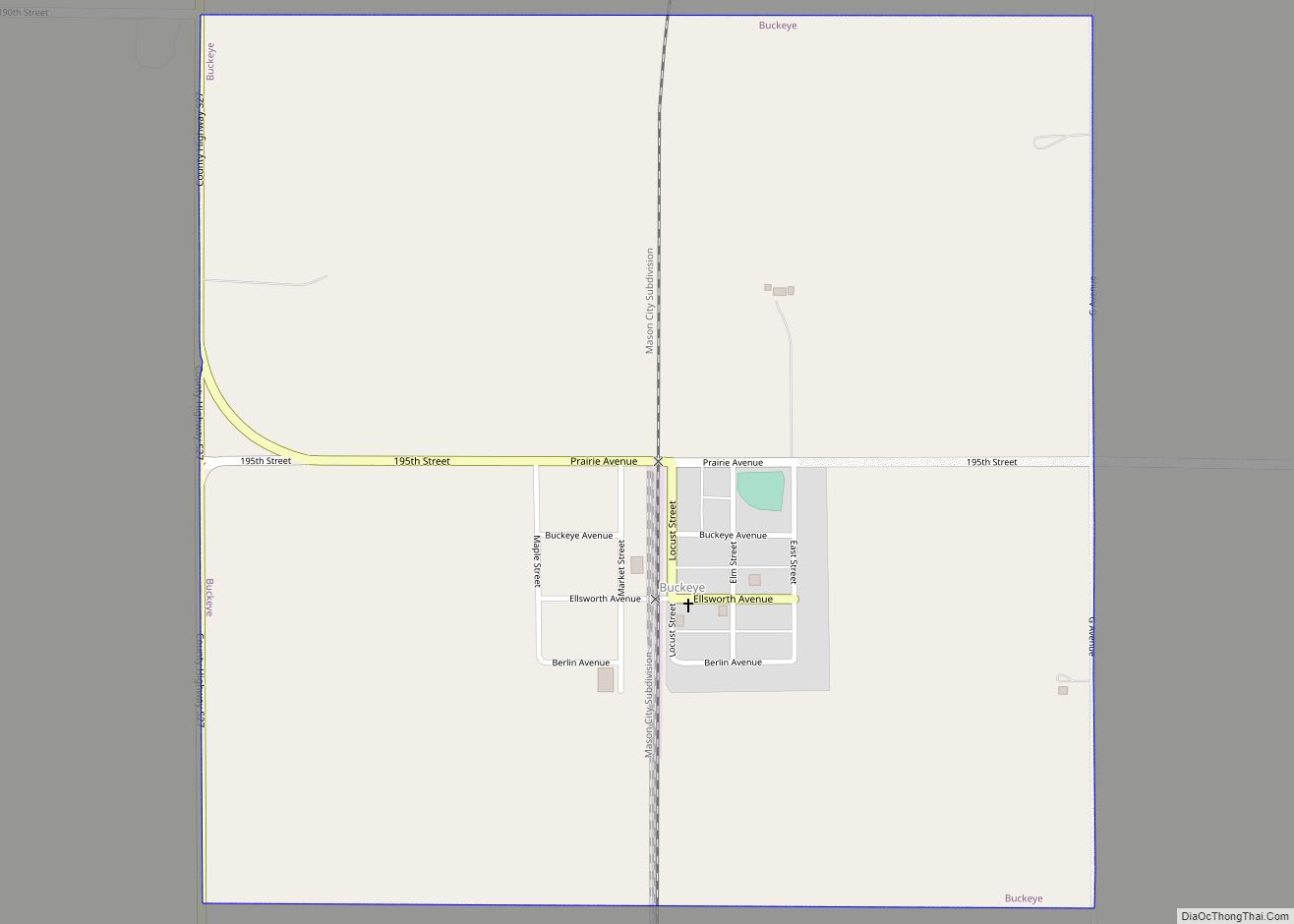
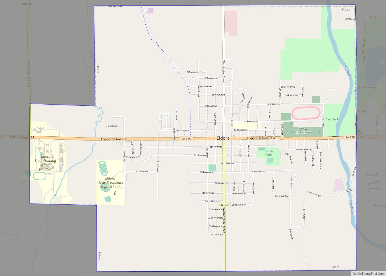
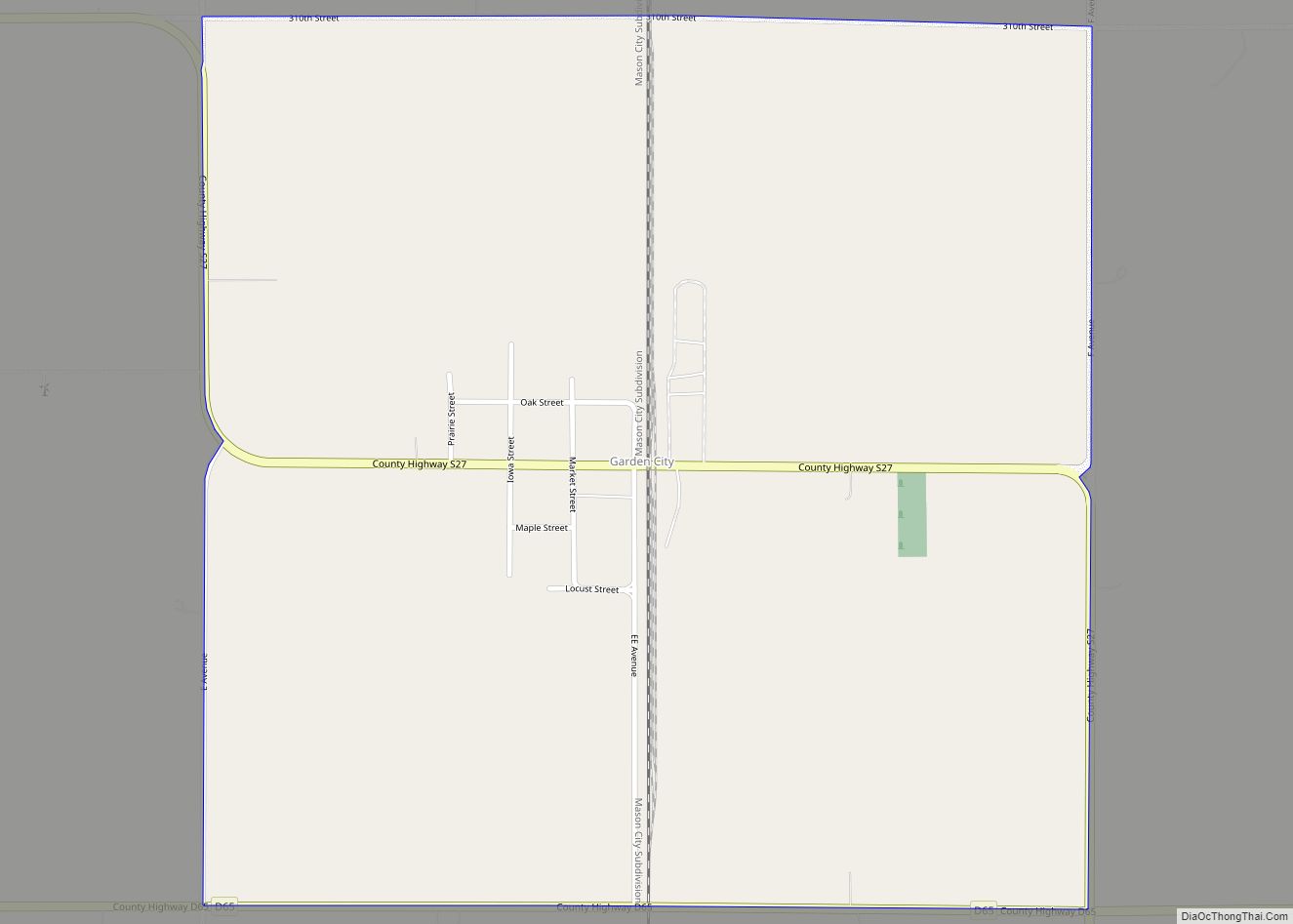
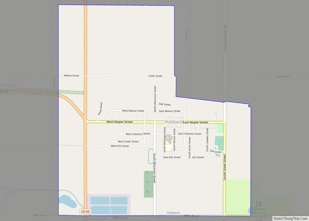
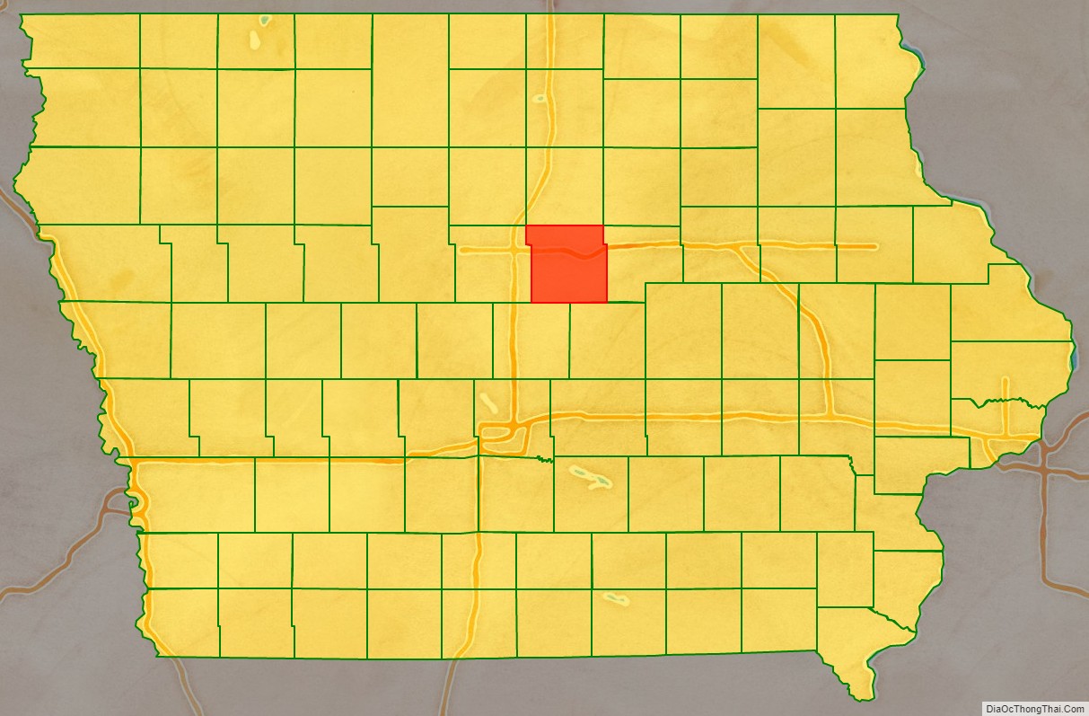
Hardin County is a county located in the U.S. state of Iowa. As of the 2020 census, the population was 16,878. The county seat is Eldora. The county was named in honor of Col. John J. Hardin, of Illinois, who was killed in the Mexican–American War.
| Name: | Hardin County |
|---|---|
| FIPS code: | 19-083 |
| State: | Iowa |
| Founded: | 1851 |
| Named for: | John J. Hardin |
| Seat: | Eldora |
| Largest city: | Iowa Falls |
| Total Area: | 570 sq mi (1,500 km²) |
| Land Area: | 569 sq mi (1,470 km²) |
| Total Population: | 16,878 |
| Population Density: | 30/sq mi (11/km²) |
| Time zone: | UTC−6 (Central) |
| Summer Time Zone (DST): | UTC−5 (CDT) |
| Website: | www.hardincountyia.gov |
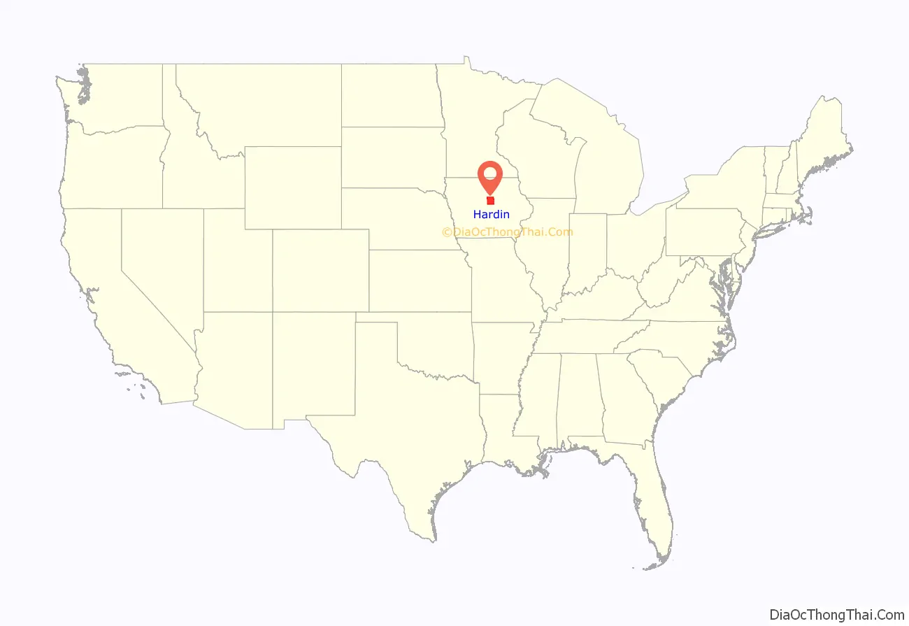
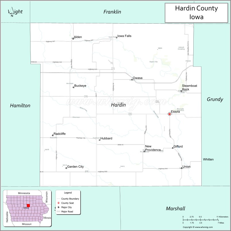
Hardin County location map. Where is Hardin County?
History
Hardin County was formed in 1851. It was named after Colonel John J. Hardin, who died in the Mexican–American War.
In its history the county has had three courthouses. The first was a small wood-framed building, which burned down in the 1850s. The second courthouse was a two-story building and stood on the site of the current office of the county sheriff. The third and present courthouse was constructed in 1892 and opened on September 19, 1893. The structure was listed on the National Register of Historic Places in 1981.
Hardin County, along with Story County, was also a primary filming location for the 1996 movie Twister, starring Bill Paxton and Helen Hunt.
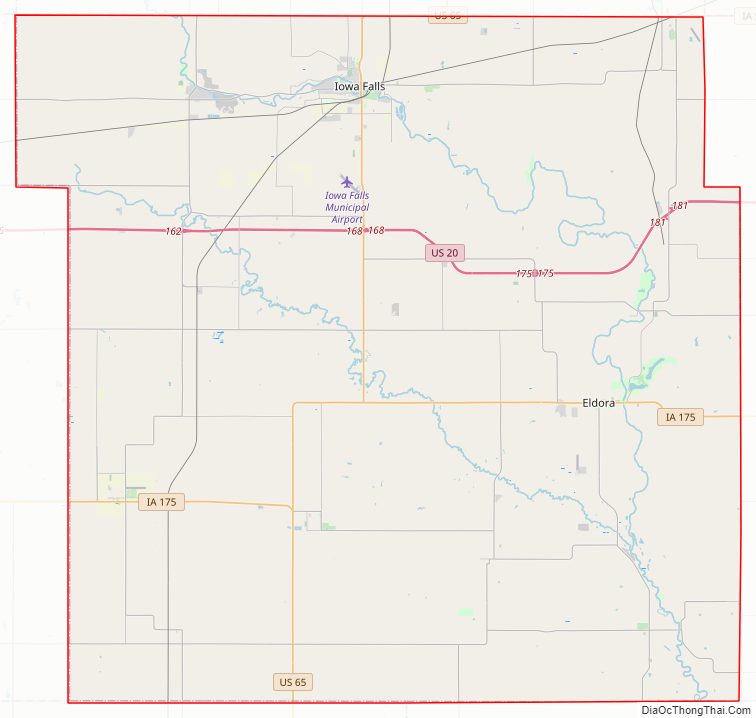
Hardin County Road Map
Geography
According to the U.S. Census Bureau, the county has a total area of 570 square miles (1,500 km), of which 569 square miles (1,470 km) is land and 0.7 square miles (1.8 km) (0.1%) is water.
Major highways
- U.S. Highway 20
- U.S. Highway 65
- Iowa Highway 57
- Iowa Highway 175
Adjacent counties
- Franklin County (north)
- Butler County (northeast)
- Grundy County (east)
- Marshall County (southeast)
- Story County (southwest)
- Hamilton County (west)
- Wright County, Iowa (northwest)
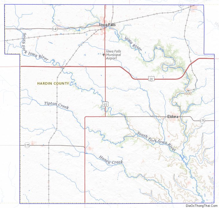
Hardin County Topographic Map
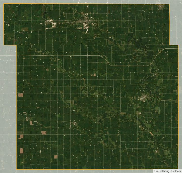
Hardin County Satellite Map
Hardin County Outline Map