Hart County is a county located in the south central portion of the Commonwealth of Kentucky. As of the 2020 census, the population was 19,288. Its county seat is Munfordville. Its largest city is Horse Cave. Hart County is a prohibition or dry county.
| Name: | Hart County |
|---|---|
| FIPS code: | 21-099 |
| State: | Kentucky |
| Founded: | 1819 |
| Named for: | Nathaniel G. S. Hart |
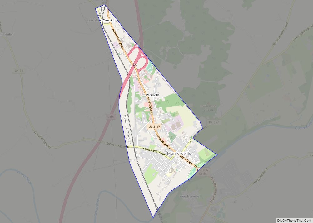
| Seat: | Munfordville |
| Largest city: | Horse Cave |
| Total Area: | 418 sq mi (1,080 km²) |
| Land Area: | 412 sq mi (1,070 km²) |
| Total Population: | 19,288 |
| Population Density: | 46/sq mi (18/km²) |
| Time zone: | UTC−6 (Central) |
| Summer Time Zone (DST): | UTC−5 (CDT) |
| Website: | www.hartcountyky.org |
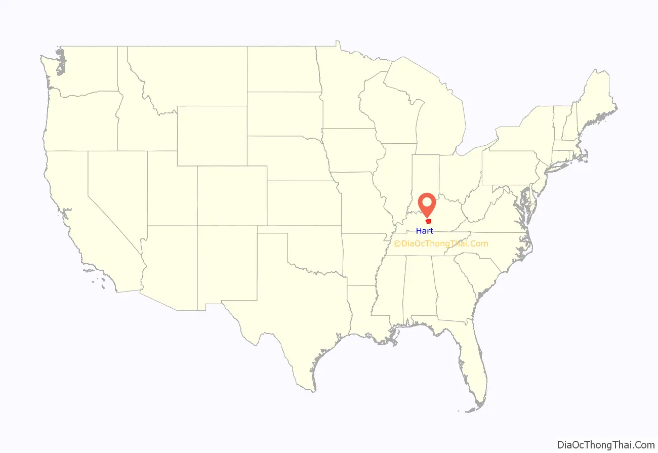
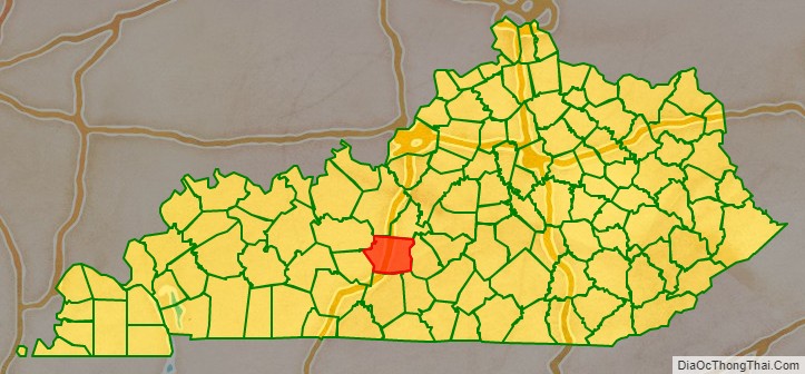
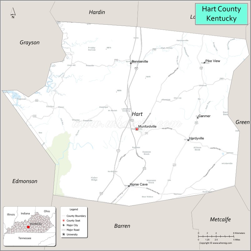
Hart County location map. Where is Hart County?
History
Hart County was formed in 1819 from portions of Hardin and Barren counties. The county is named for Captain Nathaniel G. S. Hart, a Kentucky militia officer in the War of 1812 who was wounded at the Battle of Frenchtown and died in the Massacre of the River Raisin.
The Battle of Munfordville, a Confederate victory, was fought in the county in 1862, during the American Civil War.
A courthouse fire in January, 1928 resulted in the loss of some county records.
In 1989 the Amish settlement near Munfordville was founded. It has ties to the Geauga Amish settlement in Ohio, from where many of the Munfordville Amish came. It is the fastest growing Amish settlement in America and had 14 church districts and a total population of about 1,800 people as of 2013.
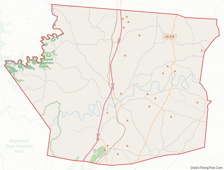
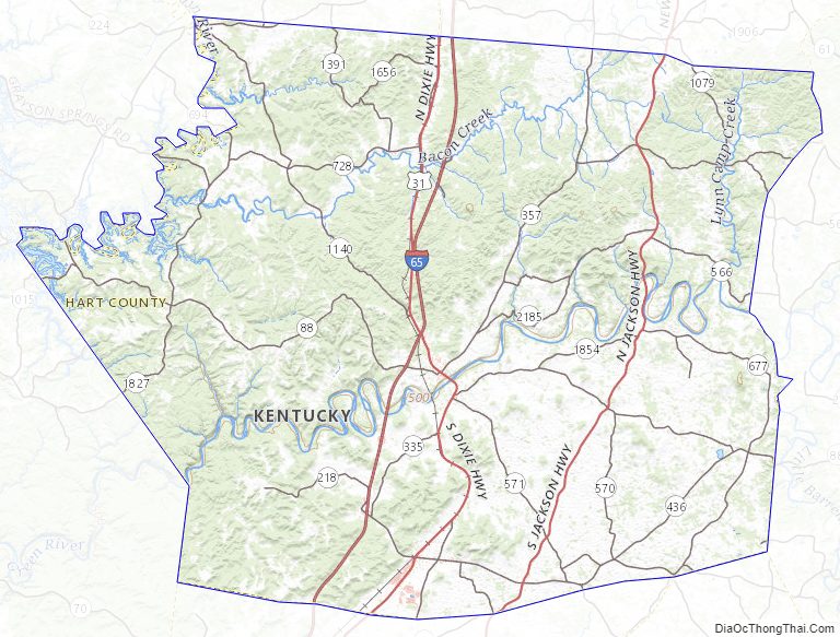
Hart County Road Map
Geography
According to the United States Census Bureau, the county has a total area of 418 square miles (1,080 km), of which 412 square miles (1,070 km) is land and 5.8 square miles (15 km) (1.4%) is water.
Fauna
A female wolf shot in 2013 in Hart County by a hunter was the first gray wolf seen in Kentucky in modern times.
Adjacent counties
- Hardin County (north/EST Border)
- LaRue County (northeast/EST Border)
- Green County (east)
- Metcalfe County (southeast)
- Barren County (south)
- Edmonson County (southwest)
- Grayson County (northwest)
Natural features
A portion of Mammoth Cave National Park and the cave for which it is named is located in western Hart County.
The Fisher Ridge Cave System is located in Hart County. As of 2018 it has been mapped to a length of 125 miles (201 km) and is the fifth-longest cave in the United States and the tenth-longest cave in the world.
Hart County Topographic Map
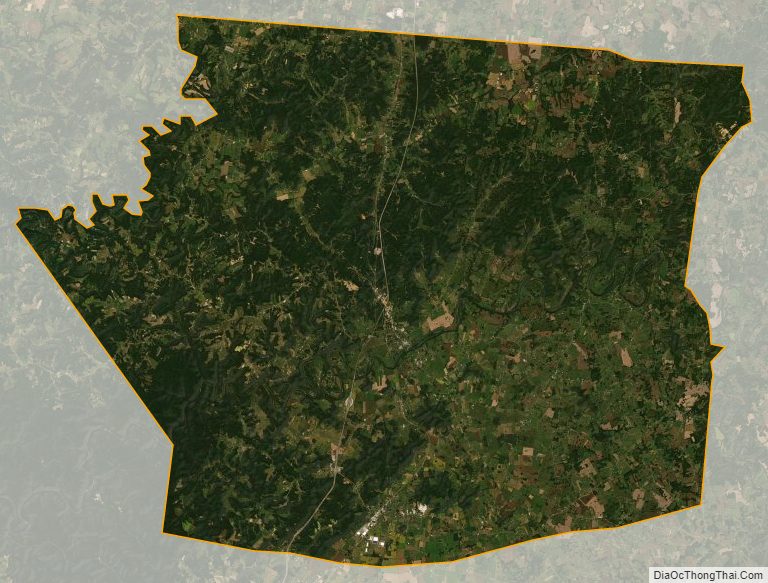
Hart County Satellite Map
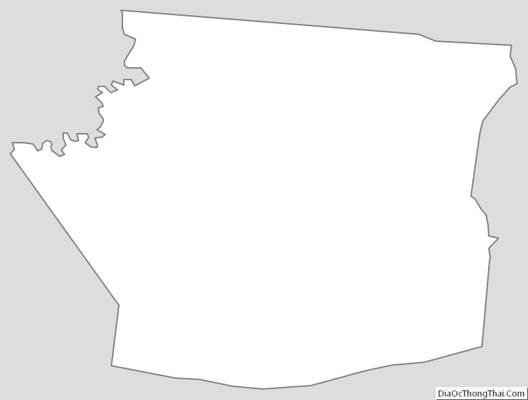
Hart County Outline Map