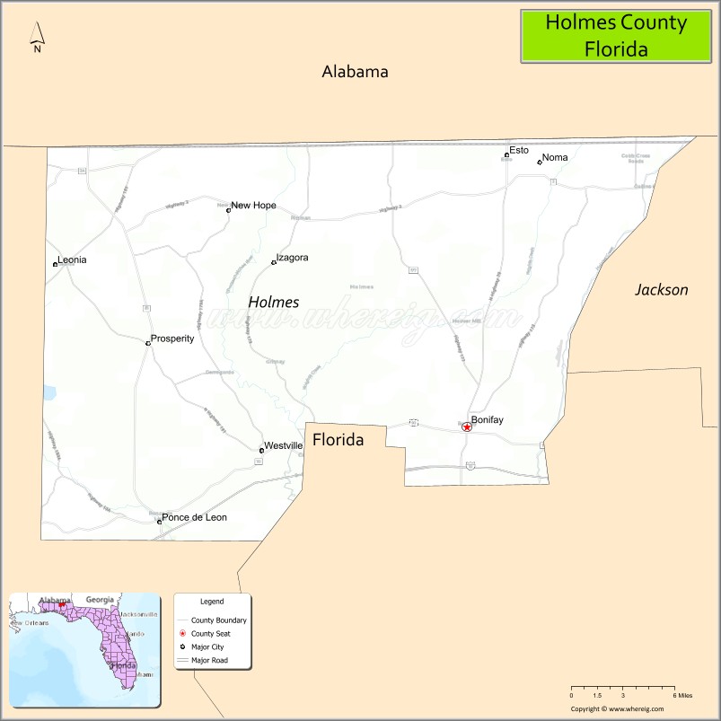
Holmes County is a county located in the northwestern part of the U.S. state of Florida, in the Panhandle. As of the 2020 census, the population was 19,653. Its county seat is Bonifay.
| Name: | Holmes County |
|---|---|
| FIPS code: | 12-059 |
| State: | Florida |
| Founded: | January 8, 1848 |
| Seat: | Bonifay |
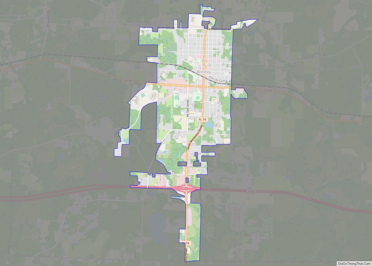
| Largest city: | Bonifay |
| Total Area: | 489 sq mi (1,270 km²) |
| Land Area: | 479 sq mi (1,240 km²) |
| Total Population: | 19,653 |
| Population Density: | 40.8/sq mi (15.8/km²) |
| Time zone: | UTC−6 (Central) |
| Summer Time Zone (DST): | UTC−5 (CDT) |
| Website: | holmescountyonline.com |
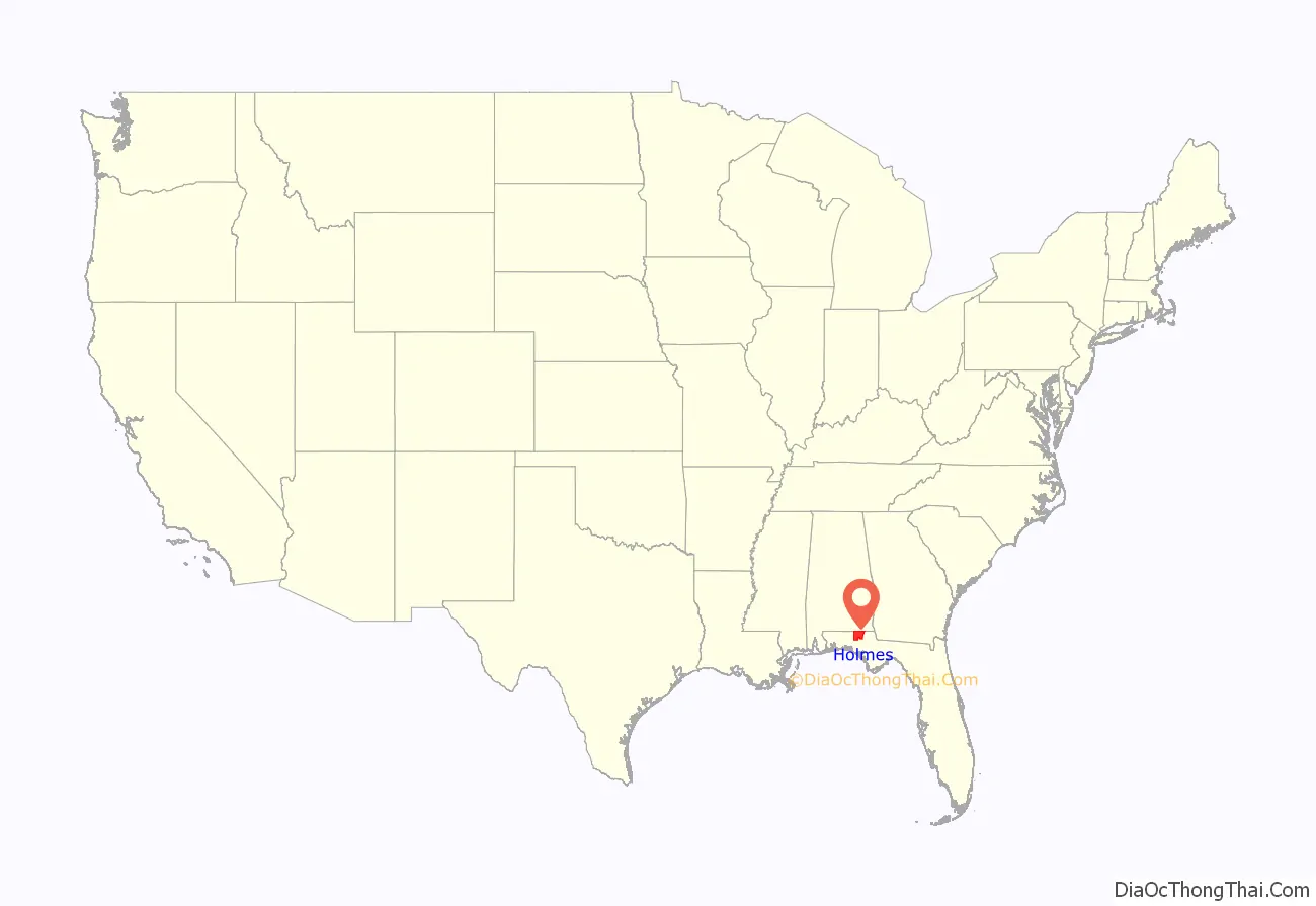
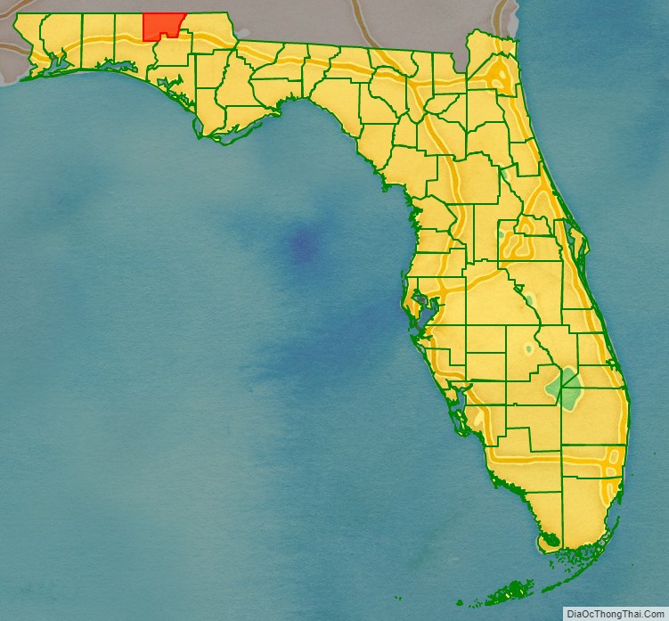
Holmes County location map. Where is Holmes County?
History
Holmes County was created in 1848.
The county’s namesake is a point of debate. Holmes Creek – the county’s eastern boundary – bore that name before the county was created, but it was originally named Weekaywehatchee (a Creek Indian name meaning “spring creek”). One claim is that the county was named for Thomas J. Holmes, who came from North Carolina to settle in the area about 1830. Another is that it is named after Holmes, an American Indian chief who settled in the area with his band of Red Stick Creek Indians after 1814. He was subsequently killed in 1818 by a raiding party sent by Andrew Jackson during the First Seminole War.
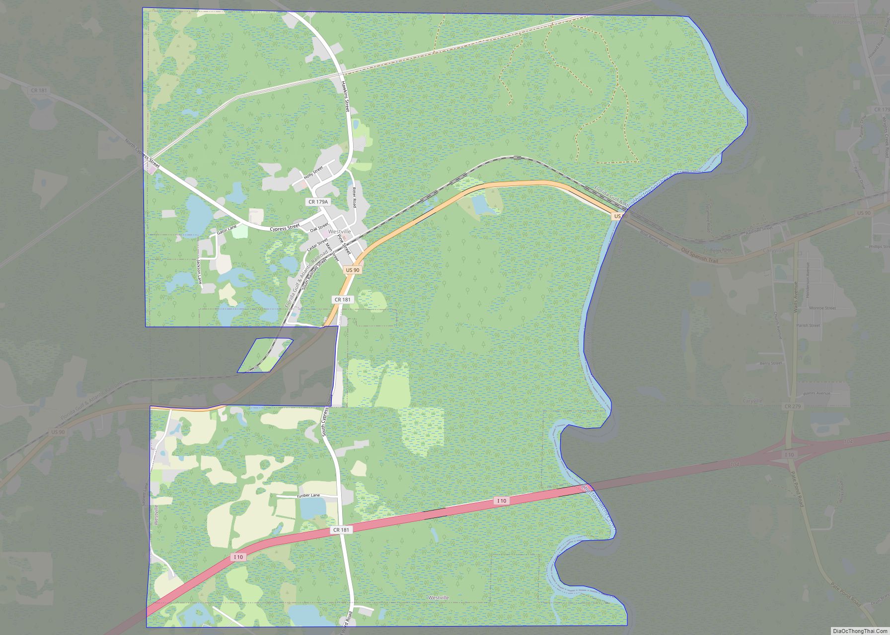
Holmes County has had four county seats in its history. The first was Hewett’s Bluff (later renamed Bear Pen, then Cerro Gordo), then Pittman’s Ferry, then Westville, and finally Bonifay. Bonifay has been the county seat since 1905.
Historic places
Historic places in the county include:
- Keith Cabin in Pittman
- Waits Mansion, Bonifay
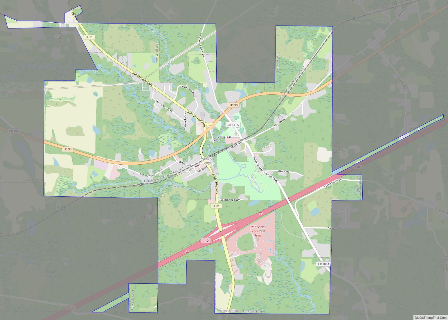
- Vortex Spring, Northern Ponce de Leon
Ponce de Leon Springs State Park, Ponce de Leon
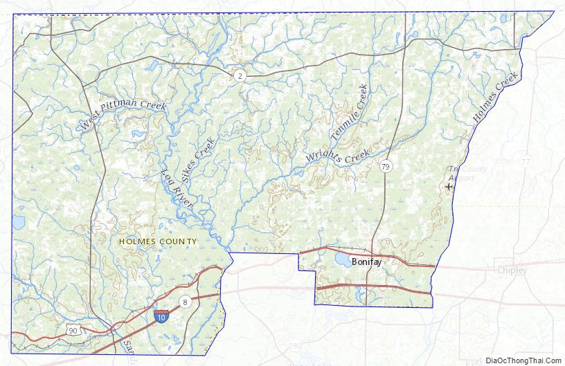
Holmes County Road Map
Geography
According to the U.S. Census Bureau, the county has a total area of 489 square miles (1,270 km), of which 479 square miles (1,240 km) is land and 10 square miles (26 km) (2.1%) is water. It is the fifth-smallest county in Florida by total area.
Adjacent counties
- Geneva County, Alabama – north
- Jackson County, Florida – east
- Washington County, Florida – south
- Walton County, Florida – west
Holmes County Topographic Map
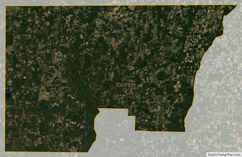
Holmes County Satellite Map
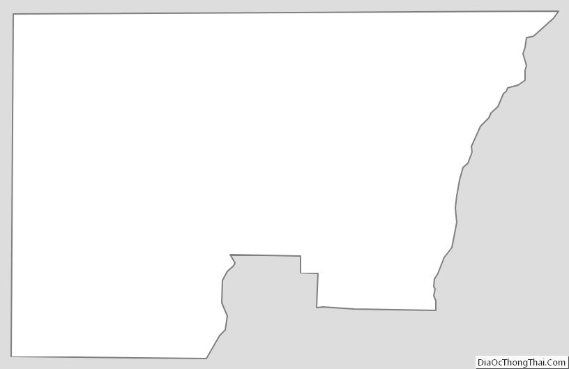
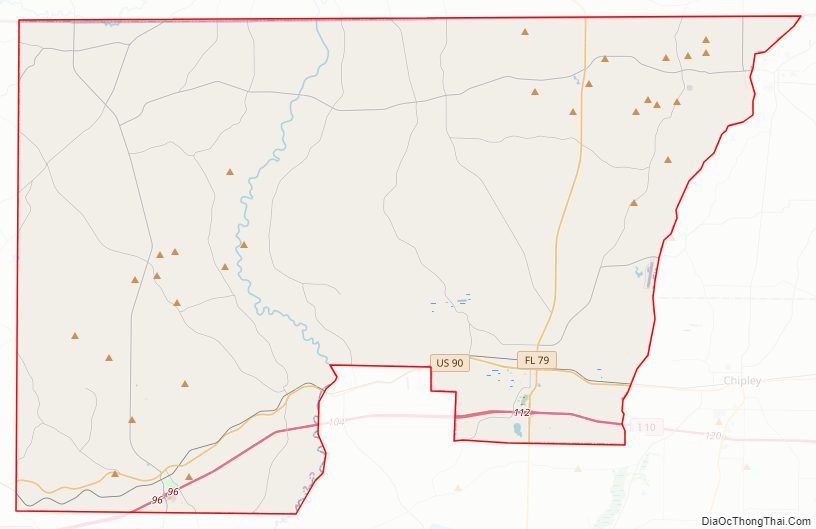
Holmes County Outline Map