Esto is a town in Holmes County, Florida, United States. The population was 364 at the 2010 census.
| Name: | Esto town |
|---|---|
| LSAD Code: | 43 |
| LSAD Description: | town (suffix) |
| State: | Florida |
| County: | Holmes County |
| Elevation: | 233 ft (71 m) |
| Total Area: | 2.36 sq mi (6.13 km²) |
| Land Area: | 2.18 sq mi (5.64 km²) |
| Water Area: | 0.19 sq mi (0.48 km²) |
| Total Population: | 341 |
| Population Density: | 156.49/sq mi (60.41/km²) |
| ZIP code: | 32425 |
| Area code: | 850 |
| FIPS code: | 1221250 |
| GNISfeature ID: | 0282263 |
| Website: | estoflorida.com |
Online Interactive Map
Click on ![]() to view map in "full screen" mode.
to view map in "full screen" mode.
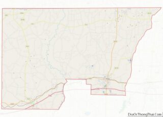
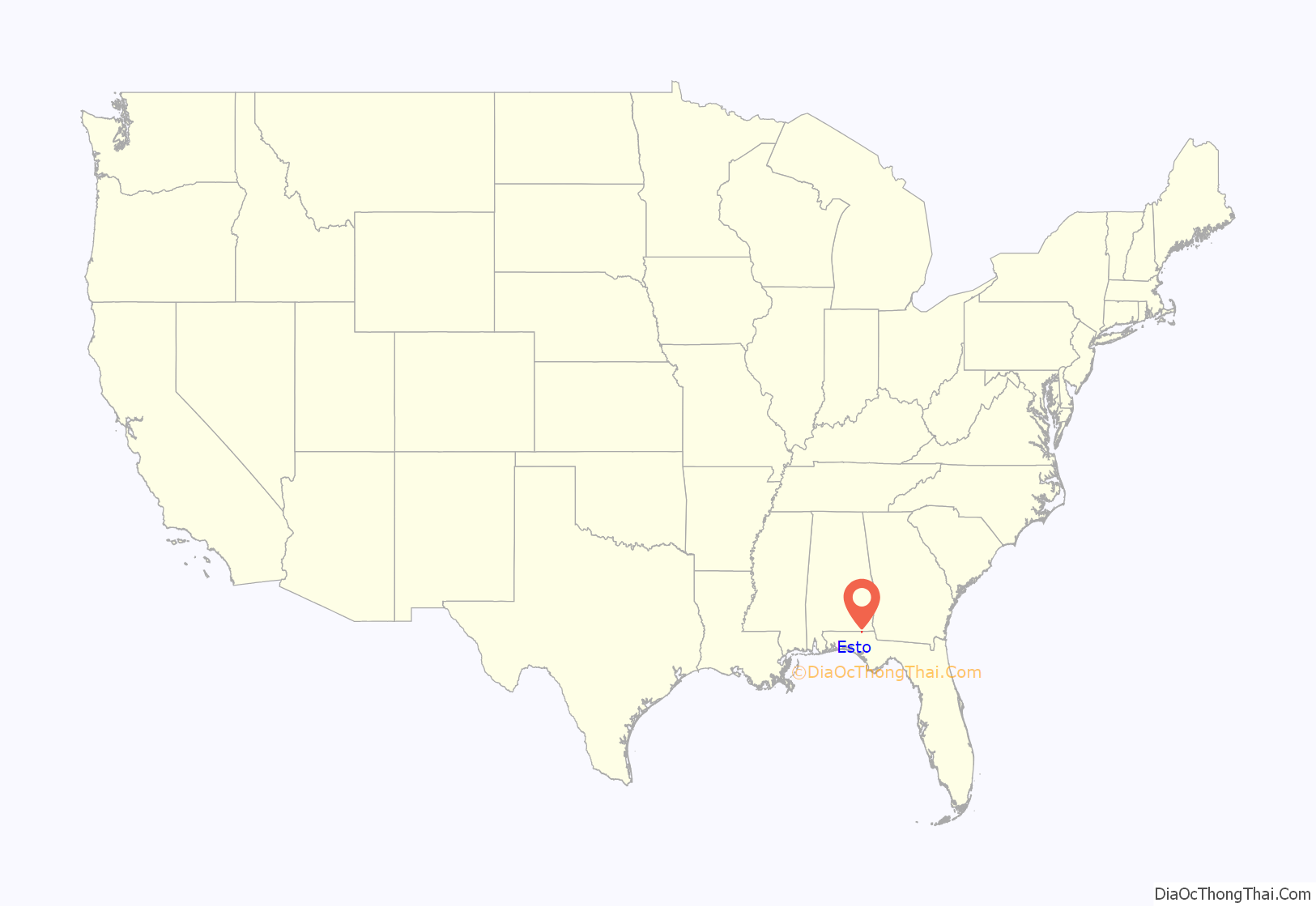
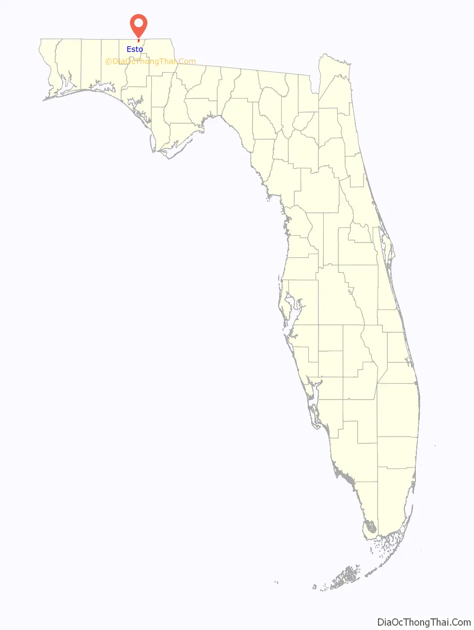
Esto location map. Where is Esto town?
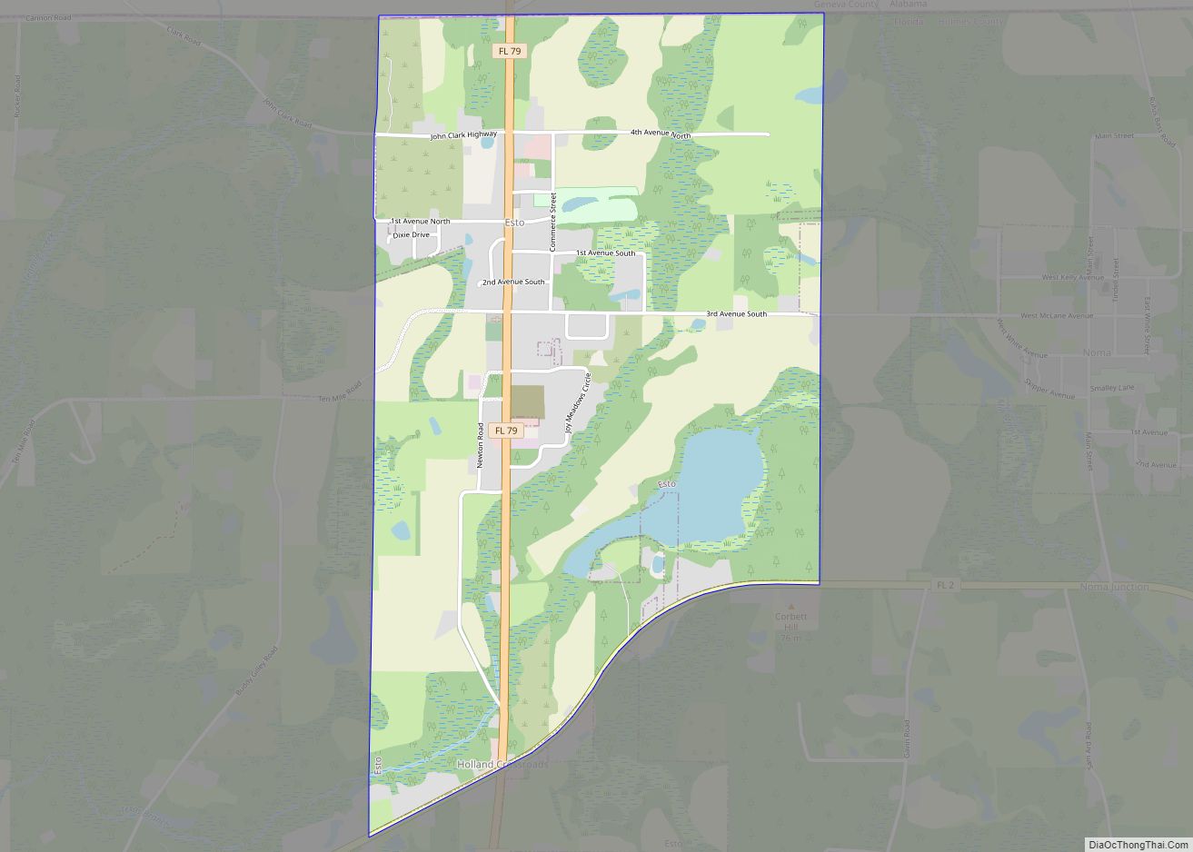
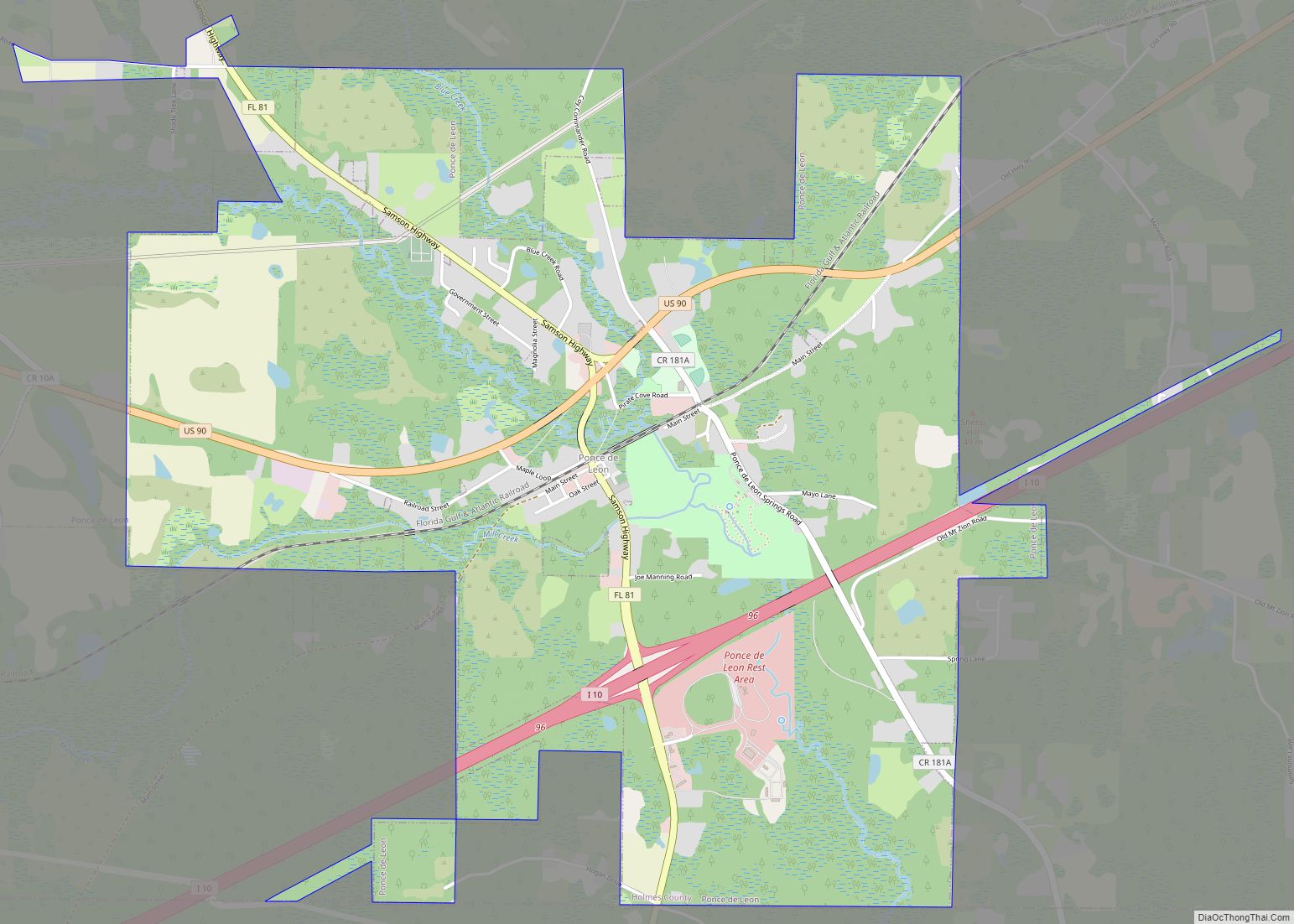
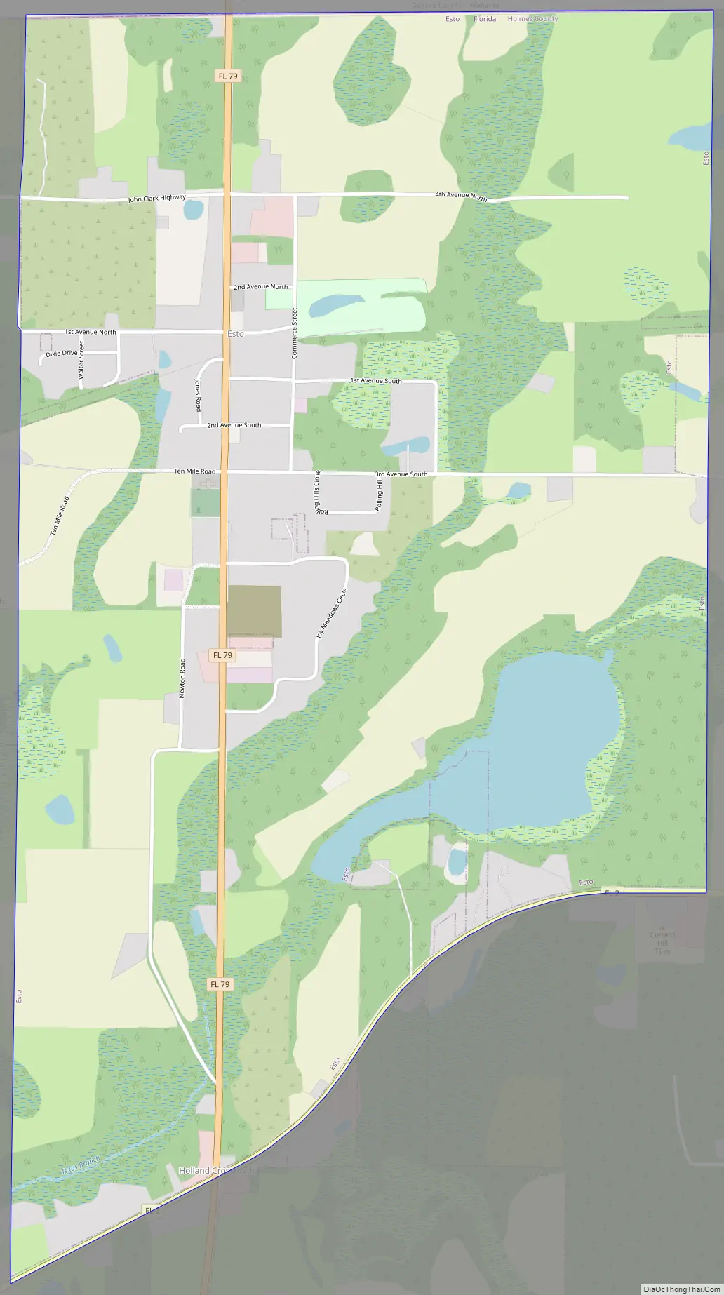
Esto Road Map
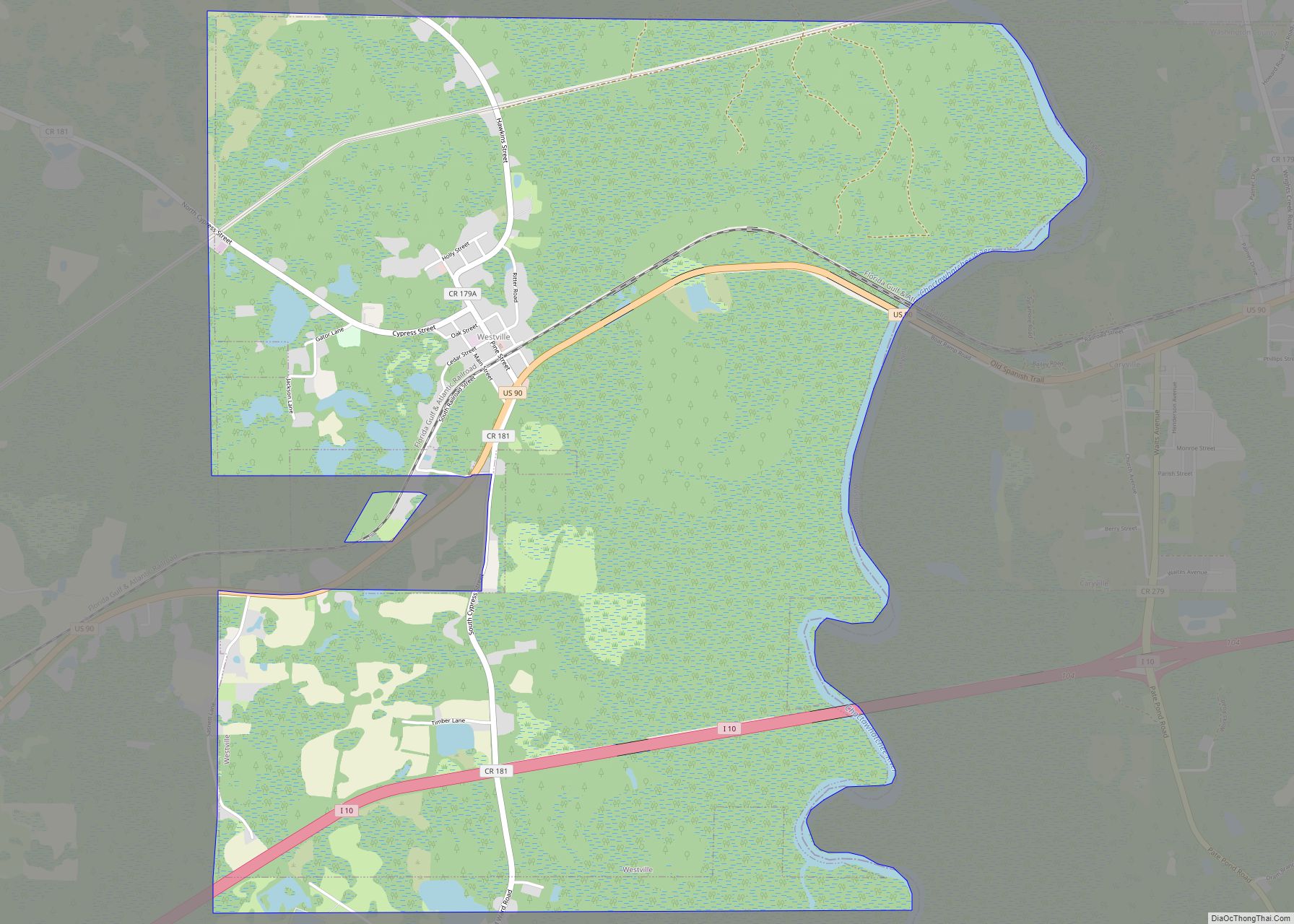
Esto city Satellite Map

Geography
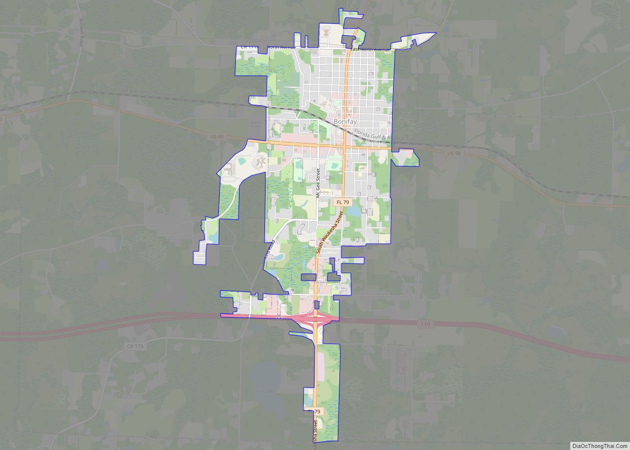
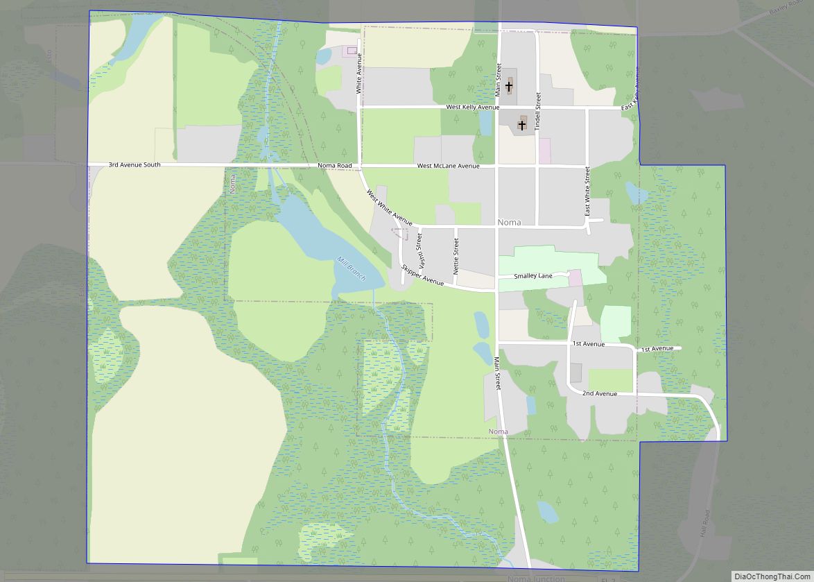
Esto is located in northeastern Holmes County at 30°58′52″N 85°38′49″W / 30.98111°N 85.64694°W / 30.98111; -85.64694 (30.981052, –85.646857). It is bordered to the north by the state of Alabama and to the east by the town of Noma, Florida. Florida State Road 79 is the main road through town, leading south 13 miles (21 km) to Bonifay, the Holmes County seat, and north (as Alabama State Route 167) 9 miles (14 km) to Hartford, Alabama. Florida State Road 2 follows the southern border of Esto, and leads east 8 miles (13 km) to Graceville and west 20 miles (32 km) to State Road 81. Dothan, Alabama, 25 miles (40 km) to the northeast, is the closest city with more than 50,000 people.
According to the United States Census Bureau, the town of Esto has a total area of 2.4 square miles (6.1 km), of which 2.2 square miles (5.6 km) are land and 0.2 square miles (0.5 km), or 7.89%, are water.
See also
Map of Florida State and its subdivision:- Alachua
- Baker
- Bay
- Bradford
- Brevard
- Broward
- Calhoun
- Charlotte
- Citrus
- Clay
- Collier
- Columbia
- Desoto
- Dixie
- Duval
- Escambia
- Flagler
- Franklin
- Gadsden
- Gilchrist
- Glades
- Gulf
- Hamilton
- Hardee
- Hendry
- Hernando
- Highlands
- Hillsborough
- Holmes
- Indian River
- Jackson
- Jefferson
- Lafayette
- Lake
- Lee
- Leon
- Levy
- Liberty
- Madison
- Manatee
- Marion
- Martin
- Miami-Dade
- Monroe
- Nassau
- Okaloosa
- Okeechobee
- Orange
- Osceola
- Palm Beach
- Pasco
- Pinellas
- Polk
- Putnam
- Saint Johns
- Saint Lucie
- Santa Rosa
- Sarasota
- Seminole
- Sumter
- Suwannee
- Taylor
- Union
- Volusia
- Wakulla
- Walton
- Washington
- Alabama
- Alaska
- Arizona
- Arkansas
- California
- Colorado
- Connecticut
- Delaware
- District of Columbia
- Florida
- Georgia
- Hawaii
- Idaho
- Illinois
- Indiana
- Iowa
- Kansas
- Kentucky
- Louisiana
- Maine
- Maryland
- Massachusetts
- Michigan
- Minnesota
- Mississippi
- Missouri
- Montana
- Nebraska
- Nevada
- New Hampshire
- New Jersey
- New Mexico
- New York
- North Carolina
- North Dakota
- Ohio
- Oklahoma
- Oregon
- Pennsylvania
- Rhode Island
- South Carolina
- South Dakota
- Tennessee
- Texas
- Utah
- Vermont
- Virginia
- Washington
- West Virginia
- Wisconsin
- Wyoming