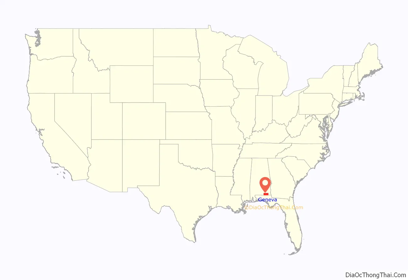
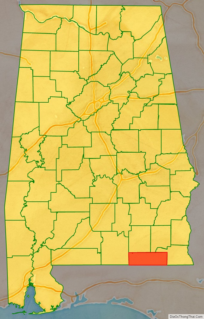
Geneva County is a county located in the southeastern part of the U.S. state of Alabama. As of the 2020 census, the population was 26,659. Its county seat is Geneva. The county was named after its county seat, which in turn was named after Geneva, New York which was named after Geneva, Switzerland, by Walter H. Yonge, an early town resident and Swiss native. Geneva County is a dry county in certain areas. Beer and wine are sold in Geneva, Samson, and Slocomb, but it isn’t sold in any capacity in Hartford.
Geneva County is part of the Dothan, AL Metropolitan Statistical Area.
| Name: | Geneva County |
|---|---|
| FIPS code: | 01-061 |
| State: | Alabama |
| Founded: | December 26, 1868 |
| Named for: | Geneva, New York |
| Seat: | Geneva |
| Largest city: | Geneva |
| Total Area: | 579 sq mi (1,500 km²) |
| Land Area: | 574 sq mi (1,490 km²) |
| Total Population: | 26,659 |
| Population Density: | 46/sq mi (18/km²) |
| Time zone: | UTC−6 (Central) |
| Summer Time Zone (DST): | UTC−5 (CDT) |
| Website: | www.genevacounty.us |
Geneva County location map. Where is Geneva County?
History
Geneva County was established on December 26, 1868.
The county was declared a disaster area in September 1979 due to damage from Hurricane Frederic.
On March 10, 2009, a gunman, identified as Michael McLendon, went on a shooting spree at nine locations in Geneva County from the town of Samson to the city of Geneva, killing ten people and wounding six others. McLendon entered his former place of employment, Reliable Metal Products on the northeastern side of Geneva, where he killed himself.
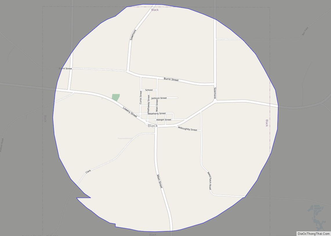
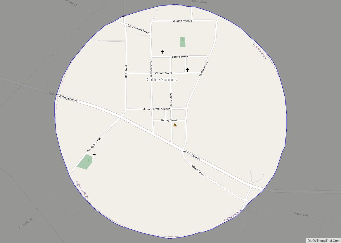
Geneva County Road Map
Geography
According to the United States Census Bureau, the county has a total area of 579 square miles (1,500 km), of which 574 square miles (1,490 km) is land and 4.5 square miles (12 km) (0.8%) is water. The county is located in the Wiregrass region of southeast Alabama.
It is the fifth-smallest county in Alabama by total area.
Major highways
- State Route 27
- State Route 52
- State Route 54
- State Route 85
- State Route 87
- State Route 103
- State Route 123
- State Route 153
- State Route 167
- State Route 196
Adjacent counties
- Dale County (north-northeast)
- Houston County (east)
- Jackson County, Florida (southeast)
- Holmes County, Florida (south)
- Walton County, Florida (southwest)
- Covington County (west)
- Coffee County (north-northwest)
