| Name: | Holt County |
|---|---|
| FIPS code: | 31-089 |
| State: | Nebraska |
| Founded: | 1860 |
| Named for: | Joseph Holt |
| Seat: | O’Neill |
| Largest city: | O’Neill |
| Total Area: | 2,417 sq mi (6,260 km²) |
| Land Area: | 2,412 sq mi (6,250 km²) |
| Total Population: | 10,127 |
| Population Density: | 4.2/sq mi (1.6/km²) |
| Time zone: | UTC−6 (Central) |
| Summer Time Zone (DST): | UTC−5 (CDT) |
| Website: | www.co.holt.ne.us |
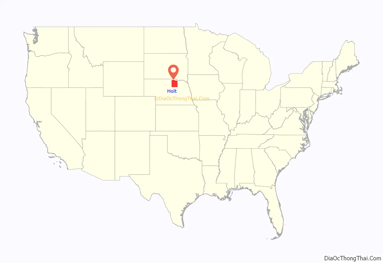
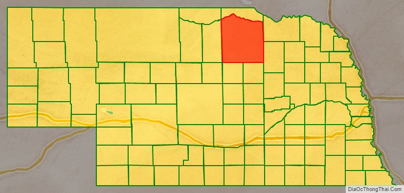
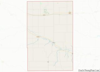
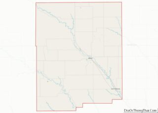
Holt County location map. Where is Holt County?
History
Holt County was created by an act of the Nebraska Territory Legislature in 1862, and was organized in 1876. It is named for Joseph Holt of Kentucky, who was postmaster general and secretary of war under President James Buchanan. It shares its name with Holt County, Missouri, though it is named for a different Holt.
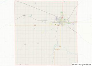
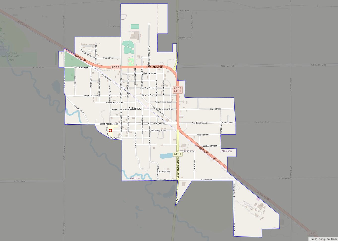
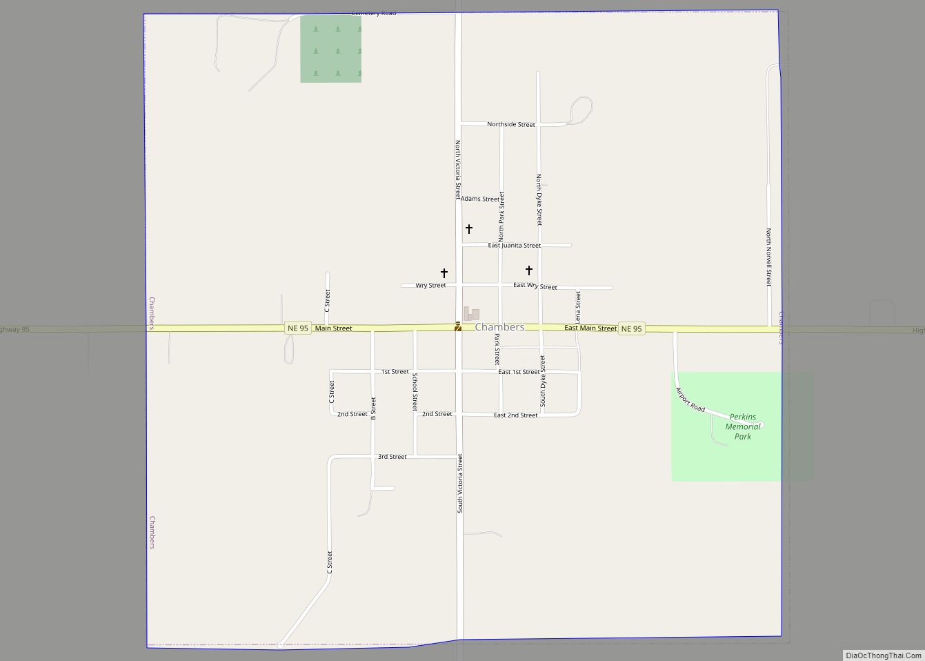
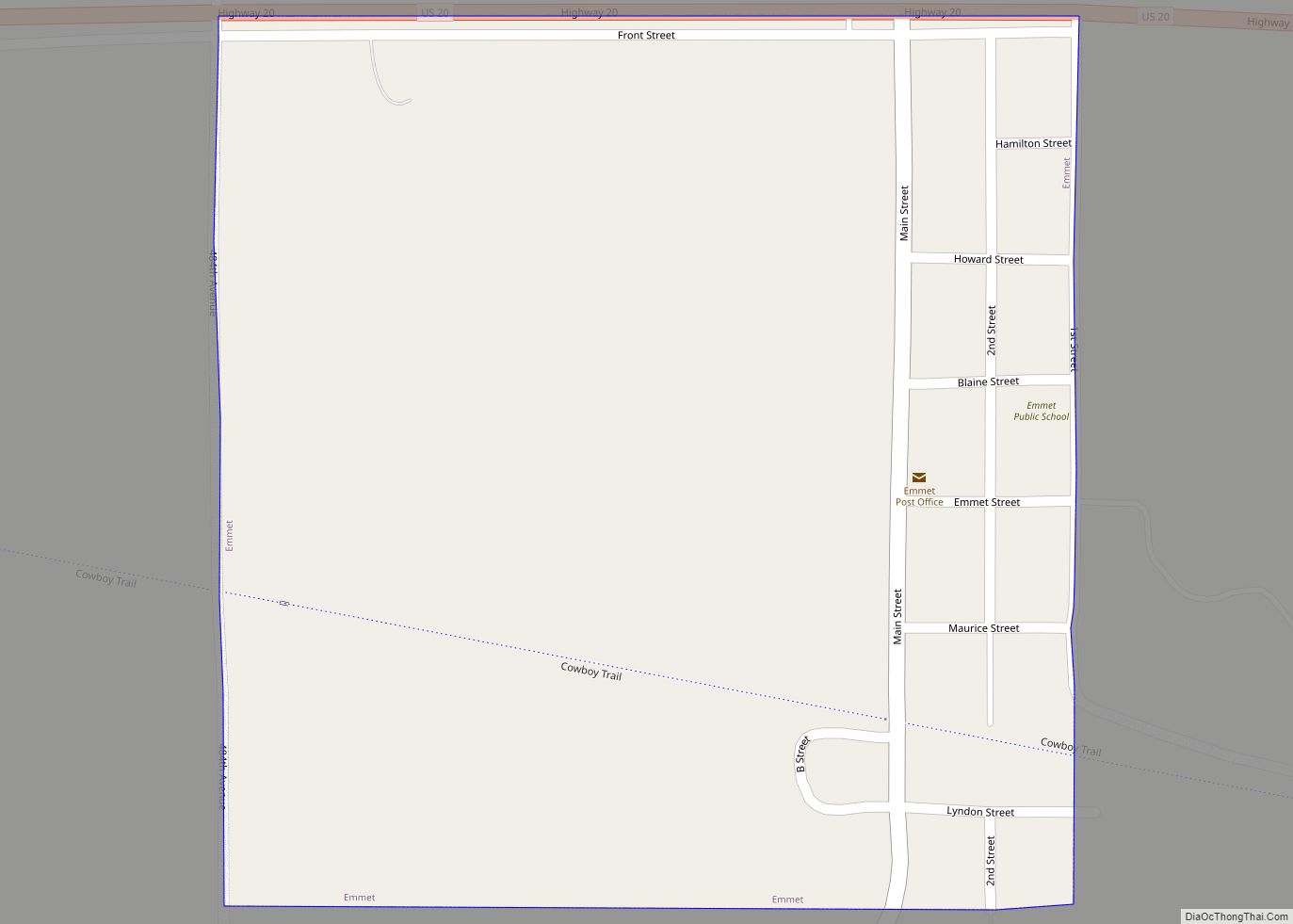
Holt County Road Map
Geography
The terrain of Holt County consists of low, rolling hills, with the flattened areas used for agriculture. The Niobrara River flows eastward along the north line of the county, and the Elkhorn River flows southeastward through the upper central portion of the county. The county has an area of 2,417 sq mi (6,260 km), of which 5.1 sq mi (13 km) (0.2%) are covered by water. It is Nebraska’s fifth-largest county by area.
Major highways
- U.S. Highway 20
- U.S. Highway 275
- U.S. Highway 281
- Nebraska Highway 11
- Nebraska Highway 95
Adjacent counties
- Antelope County – east
- Boyd County – north
- Knox County – east
- Wheeler County – south
- Garfield County – south
- Loup County – southwest
- Rock County – west
- Keya Paha County – northwest
