Humboldt County is a county in the U.S. state of Nevada. As of the 2020 Census, the population was 17,285. It is a largely rural county that is sparsely populated with the only major city being Winnemucca which has a population of 8,431. Humboldt County comprises the Winnemucca, NV Micropolitan Statistical Area and serves as an important crossroads in the national transportation network. Interstate 80 travels through the southeastern corner of the county, meeting US 95 in Winnemucca that serves as a primary freight corridor between Northern Nevada and Boise, Idaho and the Interstate 84 freight corridor that links much of the Pacific Northwest. The original transcontinental railway, constructed by the Central Pacific Railroad, reached Humboldt County on Sept. 16, 1868. The Western Pacific Railroad would reach Humboldt County by November 1909, providing two mainline rail links to California and the Eastern United States. Both railroads have since been acquired by the Union Pacific Railroad, who continues to serve the region today.
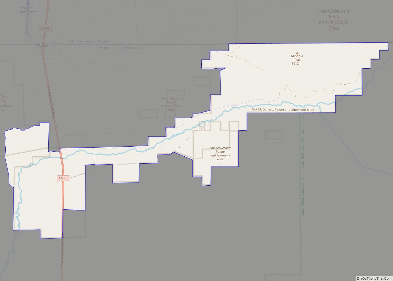
The county contains several areas of land belonging to regionally significant Native American communities including the Fort McDermitt Paiute and Shoshone Tribe and the Winnemucca Indian Colony of Nevada.
Largely a region with ranchers and farmers, the county came under increased attention after the 2017 proposal of the Thacker Pass Lithium Mine. The mine has been controversial locally and in the national press—as it would be the first major lithium clay mine to open in the United States and be important to the local economy but threatens local ecosystems and indigenous heritage sites.
| Name: | Humboldt County |
|---|---|
| FIPS code: | 32-013 |
| State: | Nevada |
| Founded: | 1856 |
| Named for: | Humboldt River |
| Seat: | Winnemucca |
| Largest city: | Winnemucca |
| Total Area: | 9,658 sq mi (25,010 km²) |
| Land Area: | 9,641 sq mi (24,970 km²) |
| Total Population: | 17,285 |
| Population Density: | 1.8/sq mi (0.69/km²) |
| Time zone: | UTC−8 (Pacific) |
| Summer Time Zone (DST): | UTC−7 (PDT) |
| Website: | hcnv.us |
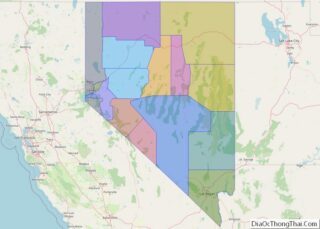
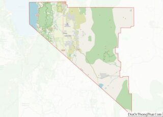
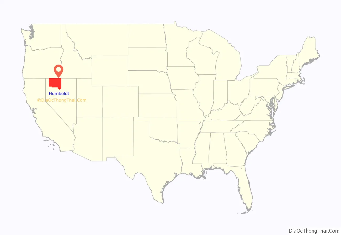
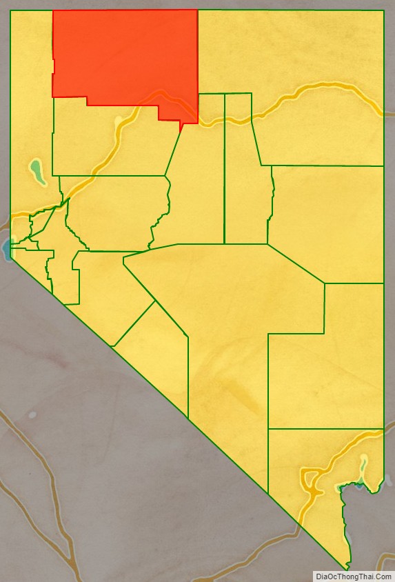
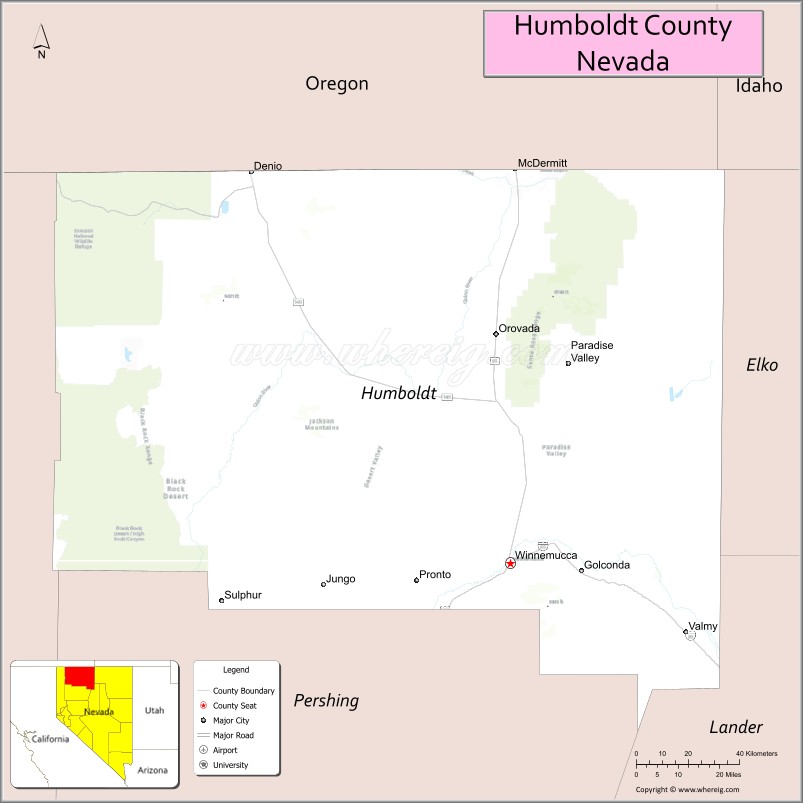
Humboldt County location map. Where is Humboldt County?
History
Humboldt County is the oldest county in Nevada, created by the Utah Territorial Legislature in 1856. It was also one of Nevada’s original nine counties created in 1861. The county is named after the Humboldt River, which was named by John C. Frémont, after Alexander von Humboldt, a German naturalist, traveler and statesman. Humboldt never saw the places that bear his name. Unionville was the first county seat in 1861 until the mining boom died there and it was moved to Winnemucca on the transcontinental railroad line in 1873.
The county was the site of an arrest in 2000 that led to the U.S. Supreme Court decision Hiibel v. Sixth Judicial District Court of Nevada in 2004.
Humboldt County is referenced in Brandon Flowers’ 2015 song “Digging Up The Heart”, in which the protagonist meets “Christie, queen of Humboldt County”.
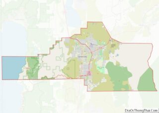
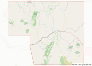
Humboldt County Road Map
Geography
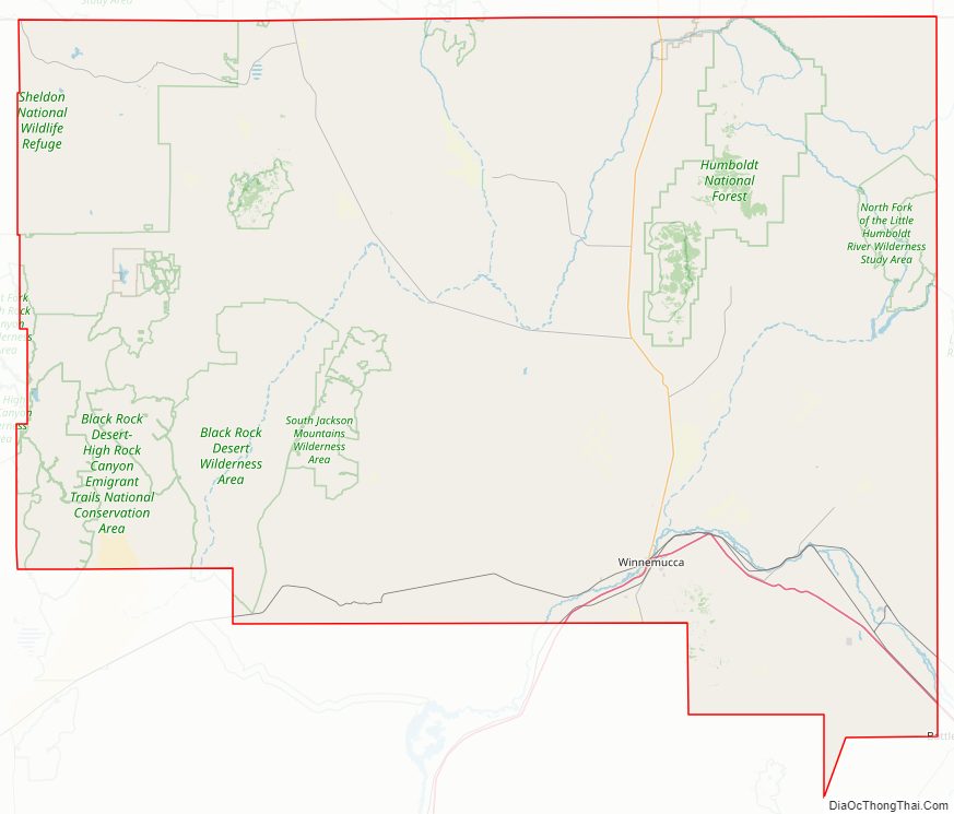
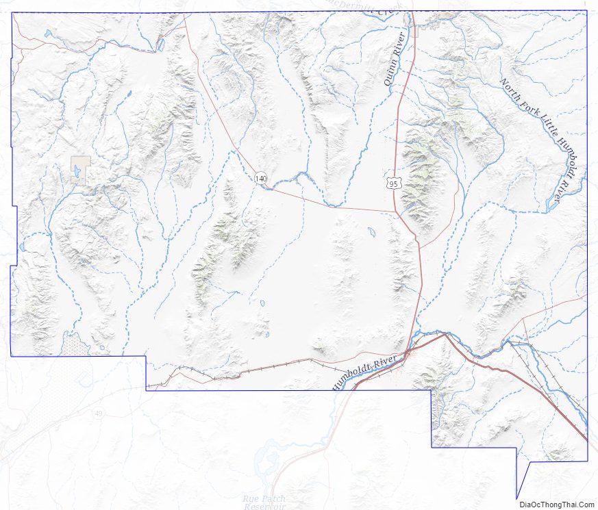
According to the U.S. Census Bureau, the county has an area of 9,658 square miles (25,010 km), of which 9,641 square miles (24,970 km) is land and 17 square miles (44 km) (0.2%) is water. It is Nevada’s fourth-largest county by area.
The Santa Rosa Range runs through eastern Humboldt County. The highest point in the county, 9,731-ft (2966 m) Granite Peak, is in the range. The most topographically prominent mountain in Humboldt County is unofficially known as Dan Dobbins Peak and is in the remote Jackson Mountains.
Adjacent counties
- Harney County, Oregon – northwest
- Malheur County, Oregon – north
- Owyhee County, Idaho – northeast/Mountain Time Border
- Elko County – east
- Lander County – southeast
- Pershing County – south
- Washoe County – west
National protected areas
- Black Rock Desert-High Rock Canyon Emigrant Trails National Conservation Area (part)
- Humboldt National Forest (part)
- Sheldon National Wildlife Refuge (part)
Reservations
The county includes land that is held by Indian reservations.
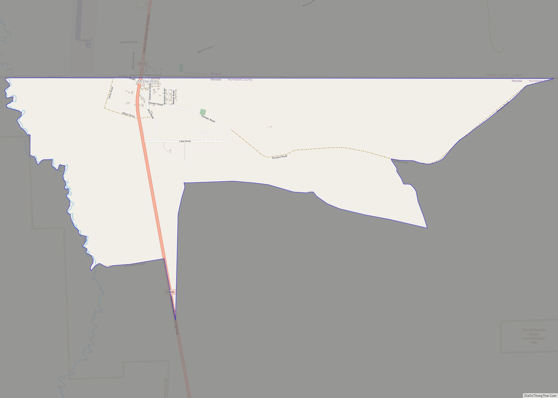
The Fort McDermitt Indian Reservation spans the distance of the Nevada–Oregon border, in Humboldt County, Nevada and Malheur County, Oregon, near the Quinn River, which runs east to west through the Tribe’s Nevada lands. Just to the east is southwestern Idaho. The Fort McDermitt Military Reservation was established 14 August 1865 at the former site of Quinn River Camp No. 33 and a stagecoach stop, Quinn River Station, in what was a traditional seasonal homeland of the Paiute, Shoshone and Bannock peoples.
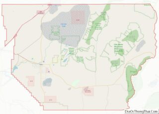
Humboldt County Topographic Map
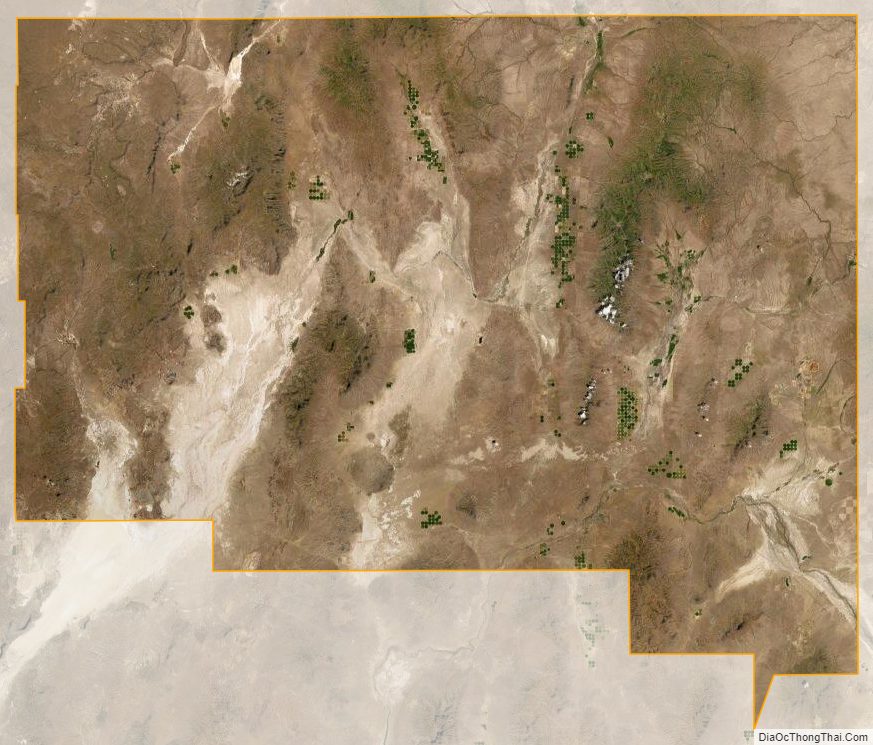
Humboldt County Satellite Map
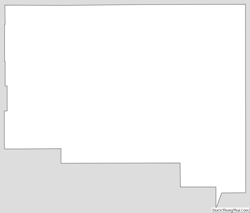
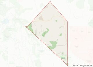
Humboldt County Outline Map