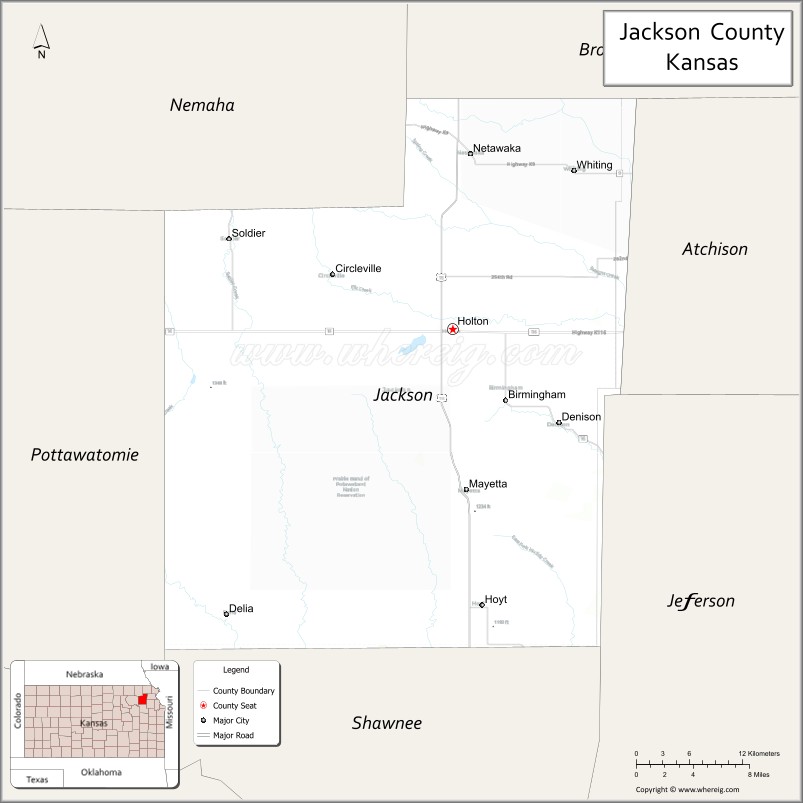
Jackson County (county code JA) is a county in the U.S. state of Kansas. As of the 2020 census, the county population was 13,232. Its county seat and most populous city is Holton. The county, first named Calhoun County for pro-slavery South Carolina Senator John C. Calhoun, was renamed in 1859 for President Andrew Jackson. The Prairie Band Potawatomi Indian Reservation, near the center of the county, comprises about 18.5% of the county’s area.
| Name: | Jackson County |
|---|---|
| FIPS code: | 20-085 |
| State: | Kansas |
| Founded: | February 11, 1859 |
| Named for: | Andrew Jackson |
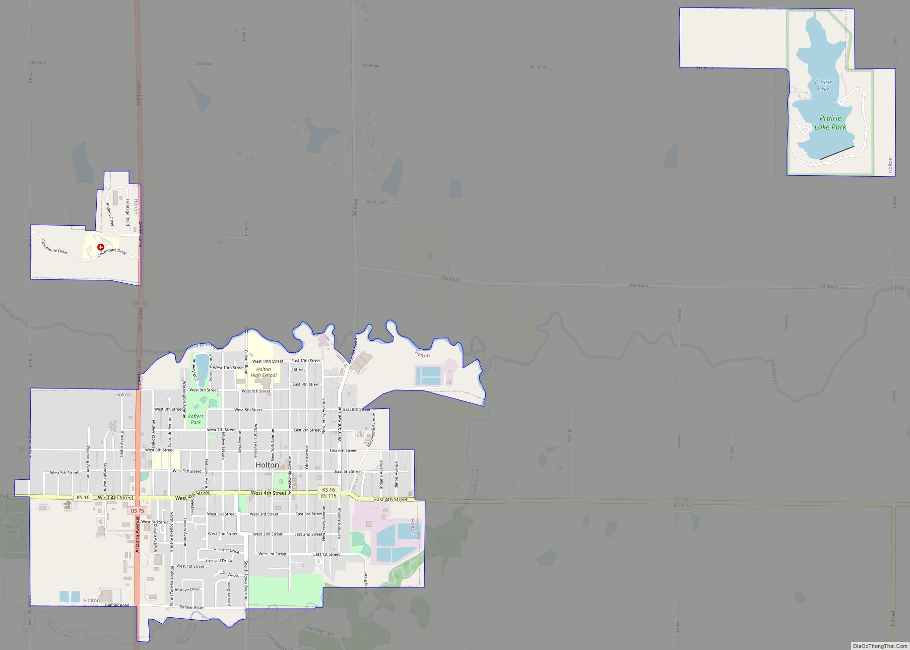
| Seat: | Holton |
| Largest city: | Holton |
| Total Area: | 658 sq mi (1,700 km²) |
| Land Area: | 656 sq mi (1,700 km²) |
| Total Population: | 13,232 |
| Population Density: | 20.2/sq mi (7.8/km²) |
| Time zone: | UTC−6 (Central) |
| Summer Time Zone (DST): | UTC−5 (CDT) |
| Website: | jacksoncountyks.com |
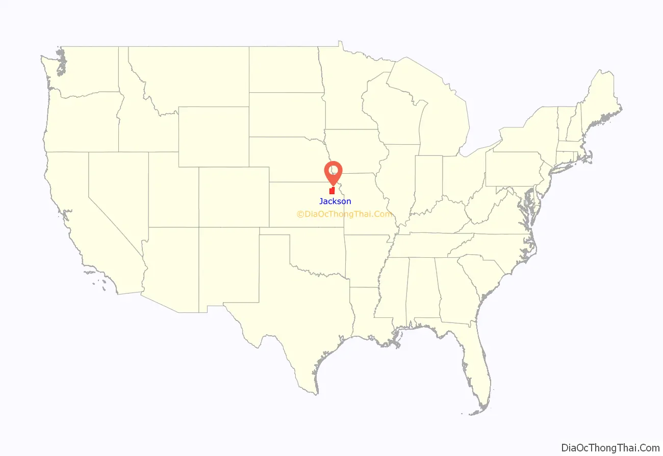
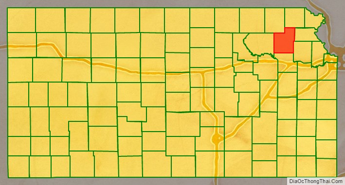
Jackson County location map. Where is Jackson County?
History
Early history
For many millennia, the Great Plains of North America was inhabited by nomadic Native Americans. From the 16th century to 18th century, the Kingdom of France claimed ownership of large parts of North America. In 1762, after the French and Indian War, France secretly ceded New France to Spain, per the Treaty of Fontainebleau.
19th century
In 1802, Spain returned most of the land to France, but keeping title to about 7,500 sq mi (19,000 km). In 1803, most of the land for modern day Kansas was acquired by the United States from France as part of the 828,000 sq mi (2,140,000 km) Louisiana Purchase for 2.83 cents per acre.
In 1854, the Kansas Territory was organized, then in 1861 Kansas became the 34th U.S. state. In 1859, Jackson County was established.
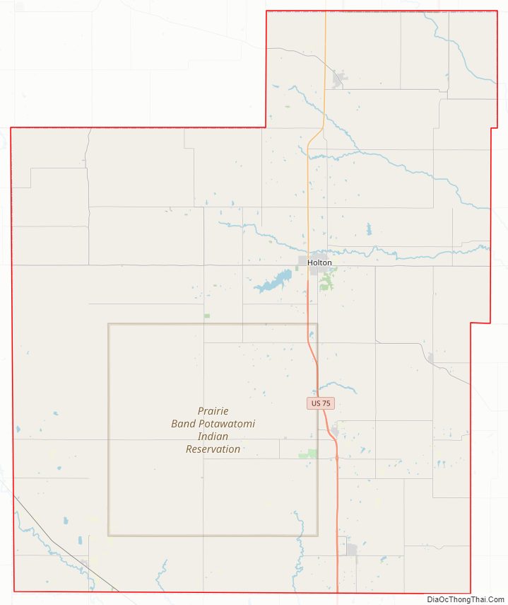
Jackson County Road Map
Geography
According to the U.S. Census Bureau, the county has an area of 658 square miles (1,700 km), of which 656 square miles (1,700 km) is land and 1.8 square miles (4.7 km) (0.3%) is water.
Adjacent counties
- Brown County (northeast)
- Atchison County (east)
- Jefferson County (southeast)
- Shawnee County (south)
- Pottawatomie County (west)
- Nemaha County (northwest)
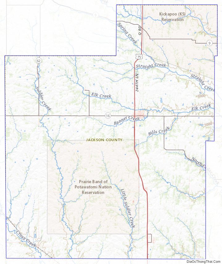
Jackson County Topographic Map
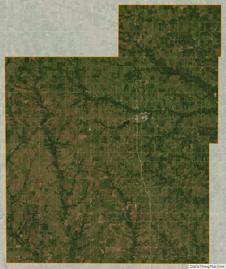
Jackson County Satellite Map
Jackson County Outline Map