Jackson County is a county located in the far southwest of the U.S. state of North Carolina. As of the 2020 census, the population was 43,109. Since 1913 its county seat has been Sylva, which replaced Webster.
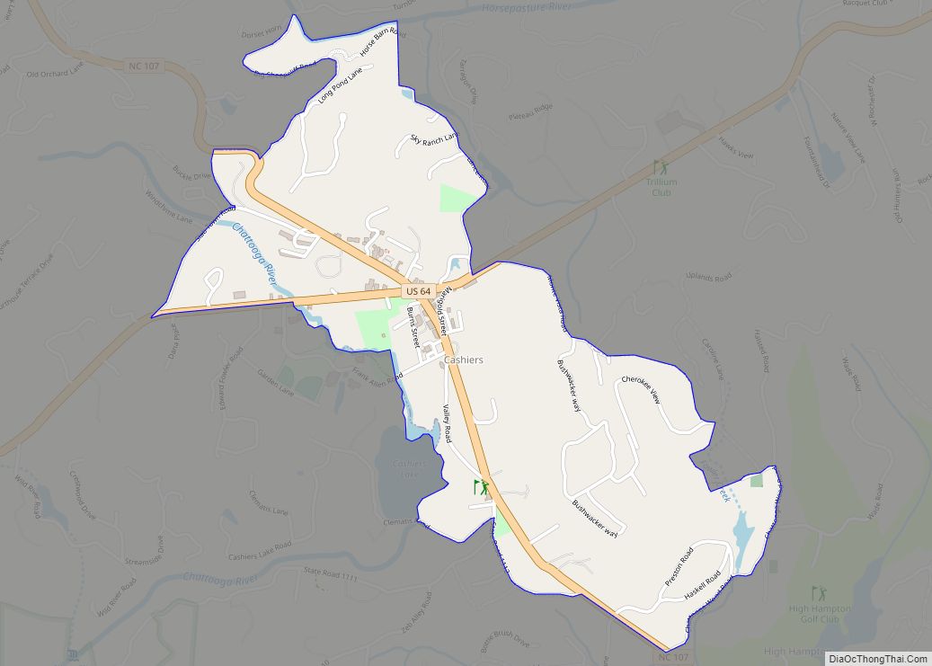
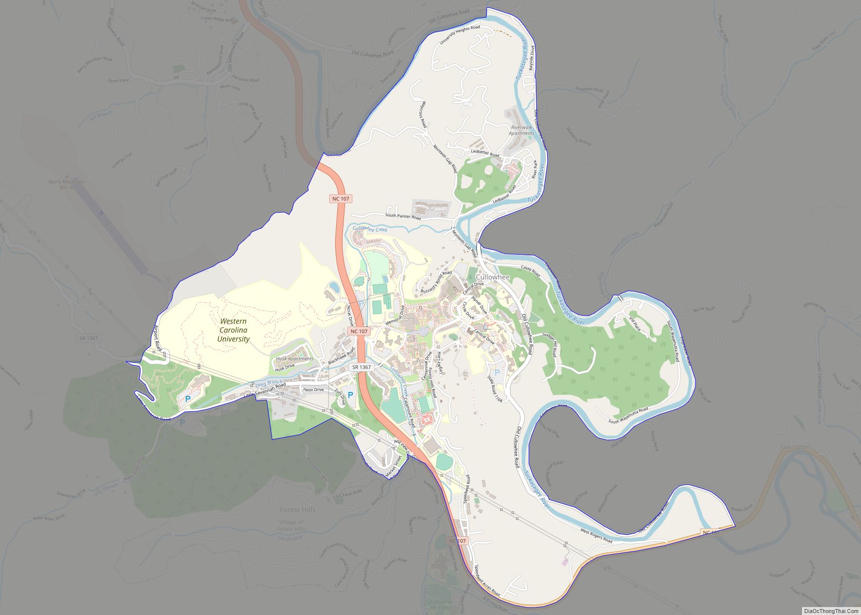
Jackson County comprises the Cullowhee, NC Micropolitan Statistical Area. Cullowhee is the site of Western Carolina University (WCU). In the early 21st century, the university has more than 12,000 students, nearly twice the number of the permanent residents of Cullowhee. The university has a strong influence in the region and county.
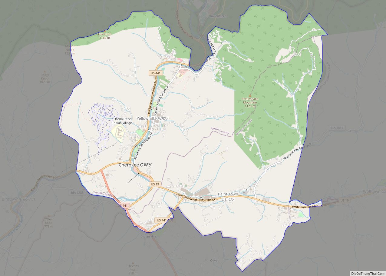
More than 10 percent of the county residents identify as Native American, mostly Cherokee. The federally recognized Eastern Band of Cherokee Indians is based at Qualla Boundary, land that consists of territory in both Jackson and neighboring Swain County. This is the only federally recognized tribe in North Carolina, and one among three federally recognized Cherokee tribes nationally. The other two are based in what is now the state of Oklahoma, former Indian Territory.
| Name: | Jackson County |
|---|---|
| FIPS code: | 37-099 |
| State: | North Carolina |
| Founded: | 1851 |
| Named for: | Andrew Jackson |
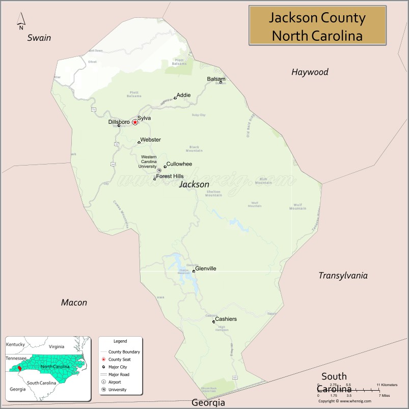
| Seat: | Sylva |
| Total Area: | 495 sq mi (1,280 km²) |
| Land Area: | 491 sq mi (1,270 km²) |
| Total Population: | 43,109 |
| Population Density: | 87/sq mi (34/km²) |
| Time zone: | UTC−5 (Eastern) |
| Summer Time Zone (DST): | UTC−4 (EDT) |
| Website: | www.jacksonnc.org |
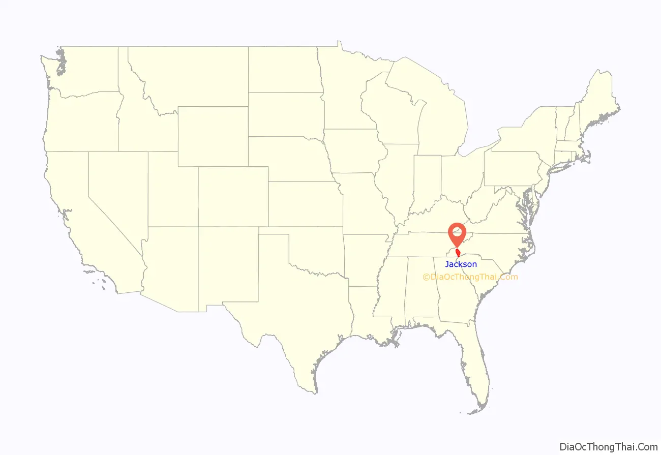
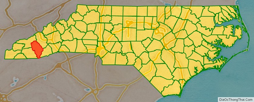
Jackson County location map. Where is Jackson County?
History
This area was part of Cherokee Nation homelands at the time of European encounter. Cullowhee was one of several historic Cherokee towns that had developed along the Tuckasegee River, which has its headwaters here and runs into Swain County to the north. Like several other Cherokee towns in the region, Cullowhee was centered around a single earthwork platform mound, known as Cullowhee Mound, built by ancestral peoples. It is estimated to have been built about 1000 CE, by people during the period of the South Appalachian Mississippian culture. Archeological excavations have revealed evidence of indigenous peoples here since 3000 BCE.
While most Cherokee were forced out of the area through succeeding treaties for land cessions, followed by removal to Indian Territory in the late 1830s, hundreds of Cherokee stayed in Western North Carolina. Their descendants form most of the federally recognized Eastern Band of Cherokee Indians (EBCI), the only tribe in the state to have this status. They are based on Qualla Boundary, which is located in Swain and Jackson counties. Their citizens make up most of the more than ten percent of people in Jackson County who identify as Native American on the US census.
Mid-19th century to present
The European-American population increased slowly in this isolated, mountainous area of the state. Jackson County was not organized until 1851, when it was created from parts of Haywood and Macon counties. It was named for Andrew Jackson, President of the United States from 1829 to 1837, who promoted Indian (reds) Removal from the Southeast in order to allow development by European Americans (whites). The original county courts were held at the home of Dan Bryson in Beta, Scott Creek township. They were moved to Webster the following year.
In 1861 parts of Jackson and Henderson counties were combined to form Transylvania County. In 1871 parts of Jackson and Macon counties were combined to form Swain County. In 1913 Sylva was designated by the legislature as the county seat of Jackson County.
In the 1880s, mining companies began to mine for kaolin, used to produce porcelain. Charles Joseph Harris (11 Sept. 1853–14 Feb. 1944) moved here from Denver, Colorado about 1888 and became important to development of the county and Western North Carolina from the late 19th century into the 20th century. He eventually established his own mining companies, and shipped kaolin to Trenton, New Jersey, among other places, which was a major manufacturing center. He also acquired tens of thousands of acres of woodland and established lumber businesses. His two sons, David Rust and Robert Ward Harris, joined him in these family businesses.
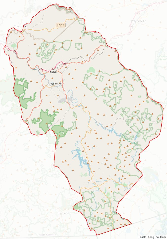
Jackson County Road Map
Geography
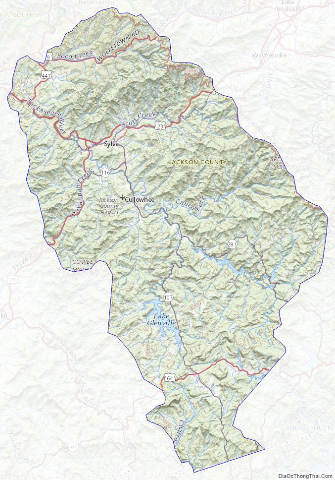
According to the U.S. Census Bureau, the county has a total area of 495 square miles (1,280 km), of which 491 square miles (1,270 km) is land and 3.8 square miles (9.8 km) (0.8%) is water. The Tuckasegee River flows through the county.
National protected areas
- Blue Ridge Parkway (part)
- Ellicott Rock Wilderness (part)
- Nantahala National Forest (part)
- Judaculla Rock (part)
- Cherokee Indian Reservation/Qualla Boundary (part)
State and local protected areas/sites
- Judaculla Rock
- Ralph J Andrews Recreation Park
- Salt Rock Gap
- Southern Highlands Reserve (part)
- The Pines Recreation Area
Major water bodies
- Bear Creek Lake
- Brushy Creek
- Cedar Cliff Lake
- Chattooga River
- Connelly Creek
- Dark Ridge Creek
- Greens Creek
- Horsepasture River
- Lake Glenville
- Oconaluftee River
- Slickens Creek
- Toxaway River
- Tuckasegee River
- Wayhutta Creek
- West Fork Tuckasegee River
- Whitewater River
Adjacent counties
- Haywood County – northeast
- Transylvania County – east
- Oconee County, South Carolina – south
- Macon County – west
- Swain County – northwest
Jackson County Topographic Map
Jackson County Satellite Map
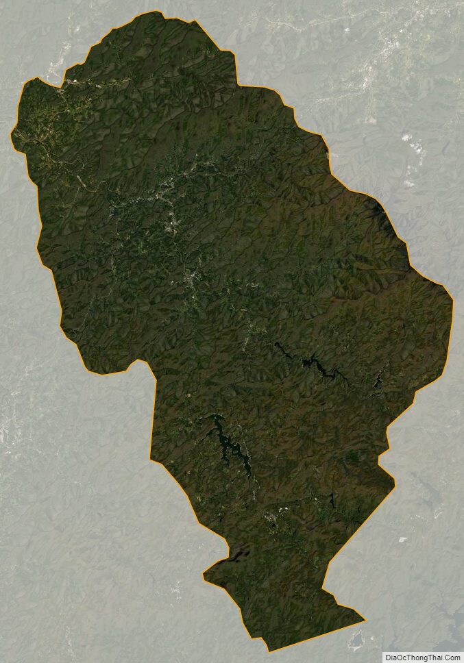
Jackson County Outline Map