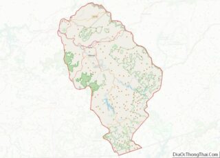
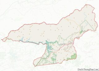
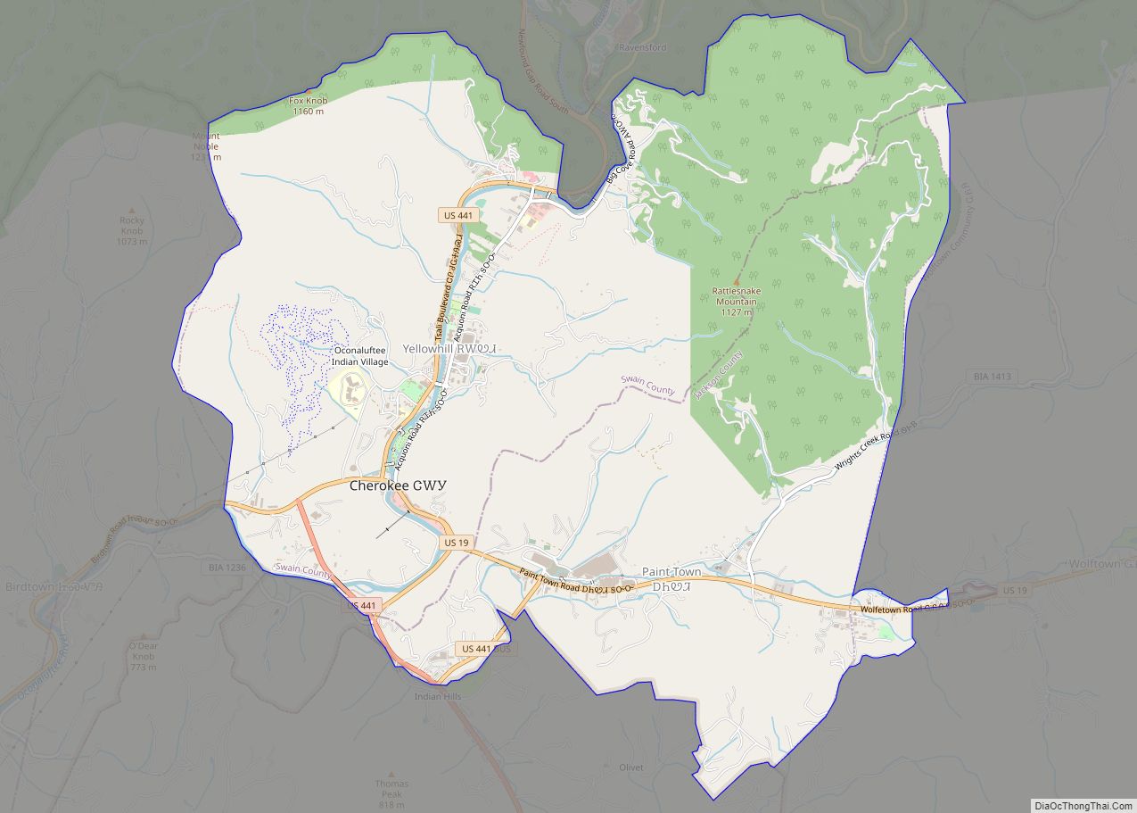
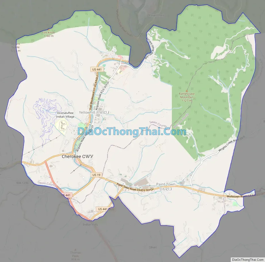
Cherokee /ˈtʃɛrəkˌiː/ (Cherokee: ᏣᎳᎩ, romanized: Tsalagi) is a census-designated place (CDP) in Swain and Jackson counties in Western North Carolina, United States, within the Qualla Boundary land trust. Cherokee is located in the Oconaluftee River Valley around the intersection of U.S. Routes 19 and 441. As of the 2020 census, the CDP had a population of 2,195. It is the capital of the federally recognized Eastern Band of Cherokee Indians, one of three recognized Cherokee tribes and the only one in North Carolina.
The community also serves as a tourist destination, with numerous campgrounds, motels, and hotels serving visitors to the Great Smoky Mountains National Park, with a major entrance to the park lying within the community. Cherokee serves as the southern terminus of the Blue Ridge Parkway. The Oconaluftee River serves as a major water sports destination, and the Oconaluftee Indian Village, a living-history museum, hosts the popular outdoor drama Unto These Hills.
| Name: | Cherokee CDP |
|---|---|
| LSAD Code: | 57 |
| LSAD Description: | CDP (suffix) |
| State: | North Carolina |
| County: | Jackson County, Swain County |
| Elevation: | 1,991 ft (607 m) |
| Total Area: | 12.07 sq mi (31.26 km²) |
| Land Area: | 12.07 sq mi (31.26 km²) |
| Water Area: | 0.00 sq mi (0.00 km²) |
| Total Population: | 2,195 |
| Population Density: | 181.84/sq mi (70.21/km²) |
| ZIP code: | 28719 |
| Area code: | 828 |
| FIPS code: | 3712140 |
| Website: | visitcherokeenc.com |
Online Interactive Map
Click on ![]() to view map in "full screen" mode.
to view map in "full screen" mode.
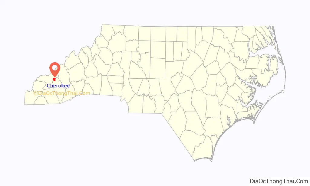
Cherokee location map. Where is Cherokee CDP?

History
Cherokee is the capital of the Eastern Band of the Cherokee Nation and part of the traditional homelands of the Cherokee people. In the 1870s, the Eastern Band purchased the land for what is called the “Qualla Boundary”. To continue the heritage of the Cherokee in the town, several signs for Cherokee’s streets and buildings are written in both Cherokee syllabary and English. As a census-designated place (CDP), Cherokee overlaps most or part of three of the seven communities of the Qualla Boundary: Painttown, Wolftown, and Yellowhill.
Cherokee Road Map
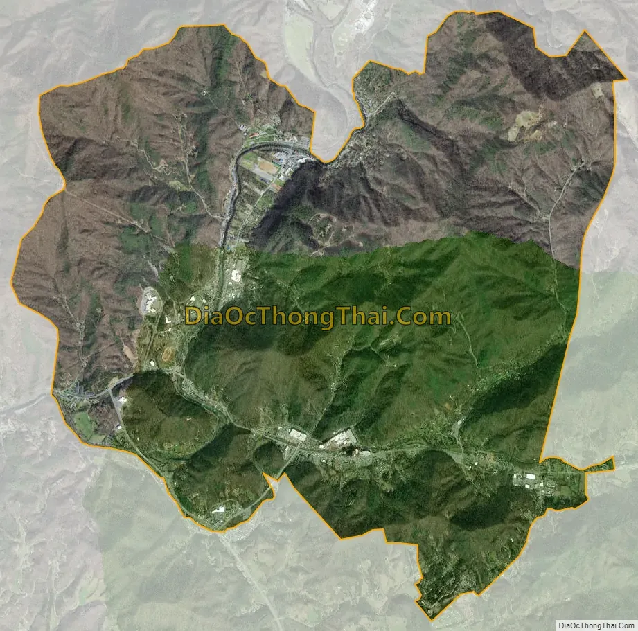
Cherokee city Satellite Map
Geography
Cherokee town and its surrounding Qualla Boundary is in the very mountainous Swain and Jackson counties. The highest elevation is 6,643-foot (2,025 m) Clingman’s Dome at the border with Tennessee. Clingman’s Dome is the highest point in the Great Smoky Mountains National Park. The Oconaluftee River flows through downtown Cherokee.
See also
Map of North Carolina State and its subdivision:- Alamance
- Alexander
- Alleghany
- Anson
- Ashe
- Avery
- Beaufort
- Bertie
- Bladen
- Brunswick
- Buncombe
- Burke
- Cabarrus
- Caldwell
- Camden
- Carteret
- Caswell
- Catawba
- Chatham
- Cherokee
- Chowan
- Clay
- Cleveland
- Columbus
- Craven
- Cumberland
- Currituck
- Dare
- Davidson
- Davie
- Duplin
- Durham
- Edgecombe
- Forsyth
- Franklin
- Gaston
- Gates
- Graham
- Granville
- Greene
- Guilford
- Halifax
- Harnett
- Haywood
- Henderson
- Hertford
- Hoke
- Hyde
- Iredell
- Jackson
- Johnston
- Jones
- Lee
- Lenoir
- Lincoln
- Macon
- Madison
- Martin
- McDowell
- Mecklenburg
- Mitchell
- Montgomery
- Moore
- Nash
- New Hanover
- Northampton
- Onslow
- Orange
- Pamlico
- Pasquotank
- Pender
- Perquimans
- Person
- Pitt
- Polk
- Randolph
- Richmond
- Robeson
- Rockingham
- Rowan
- Rutherford
- Sampson
- Scotland
- Stanly
- Stokes
- Surry
- Swain
- Transylvania
- Tyrrell
- Union
- Vance
- Wake
- Warren
- Washington
- Watauga
- Wayne
- Wilkes
- Wilson
- Yadkin
- Yancey
- Alabama
- Alaska
- Arizona
- Arkansas
- California
- Colorado
- Connecticut
- Delaware
- District of Columbia
- Florida
- Georgia
- Hawaii
- Idaho
- Illinois
- Indiana
- Iowa
- Kansas
- Kentucky
- Louisiana
- Maine
- Maryland
- Massachusetts
- Michigan
- Minnesota
- Mississippi
- Missouri
- Montana
- Nebraska
- Nevada
- New Hampshire
- New Jersey
- New Mexico
- New York
- North Carolina
- North Dakota
- Ohio
- Oklahoma
- Oregon
- Pennsylvania
- Rhode Island
- South Carolina
- South Dakota
- Tennessee
- Texas
- Utah
- Vermont
- Virginia
- Washington
- West Virginia
- Wisconsin
- Wyoming