Webster is a town in Jackson County, North Carolina, United States. As of the 2010 census, the population was 363, down from 486 in 2000.
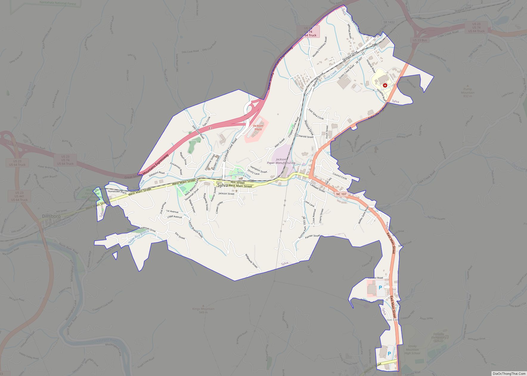
Webster was the first county seat of Jackson County, until Sylva assumed the role in 1913.
| Name: | Webster town |
|---|---|
| LSAD Code: | 43 |
| LSAD Description: | town (suffix) |
| State: | North Carolina |
| County: | Jackson County |
| Elevation: | 2,162 ft (659 m) |
| Total Area: | 1.00 sq mi (2.58 km²) |
| Land Area: | 1.00 sq mi (2.58 km²) |
| Water Area: | 0.00 sq mi (0.00 km²) |
| Total Population: | 372 |
| Population Density: | 372.75/sq mi (143.94/km²) |
| ZIP code: | 28788 |
| Area code: | 828 |
| FIPS code: | 3771600 |
| GNISfeature ID: | 1023145 |
| Website: | townofwebster.org |
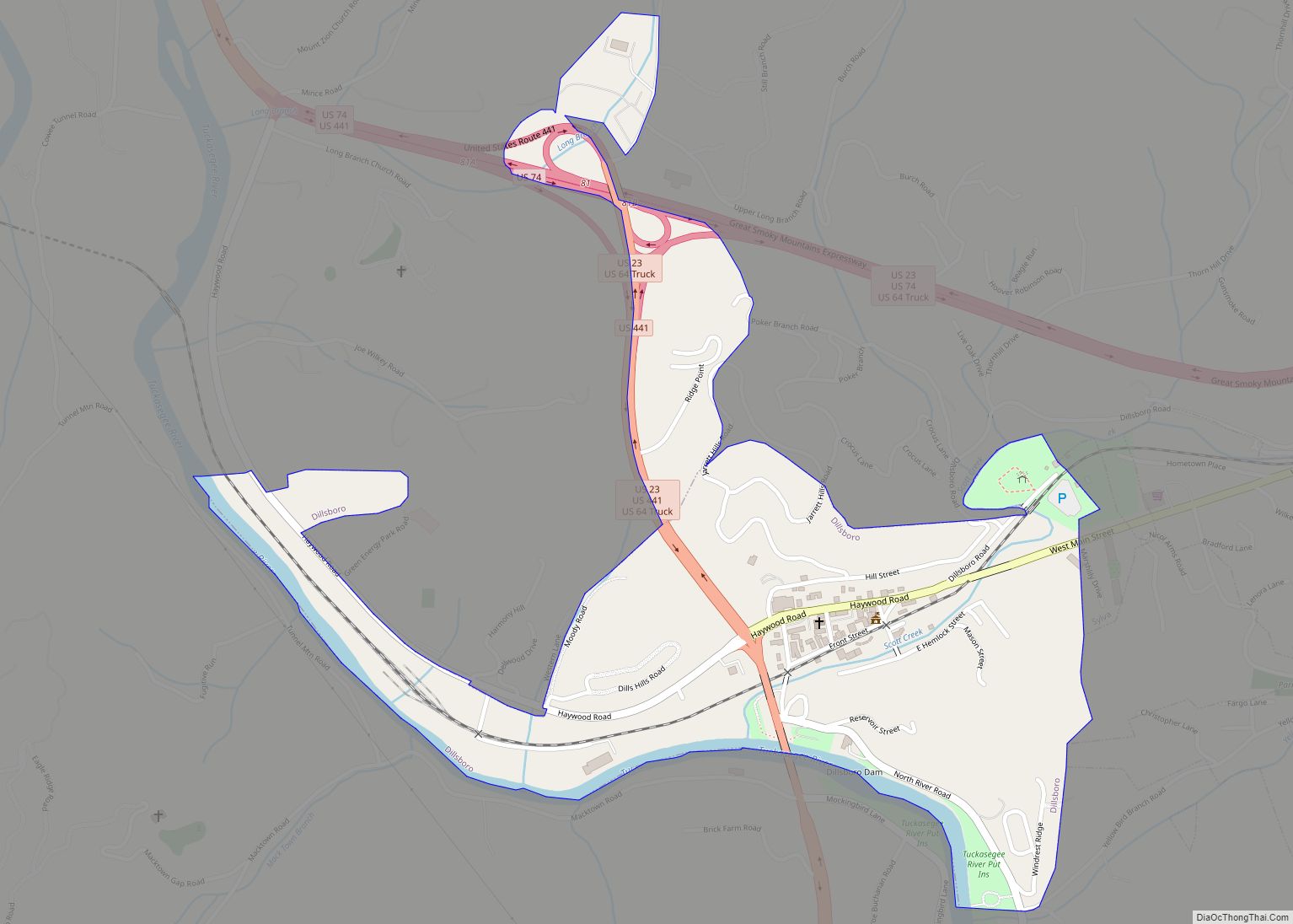
Online Interactive Map
Click on ![]() to view map in "full screen" mode.
to view map in "full screen" mode.
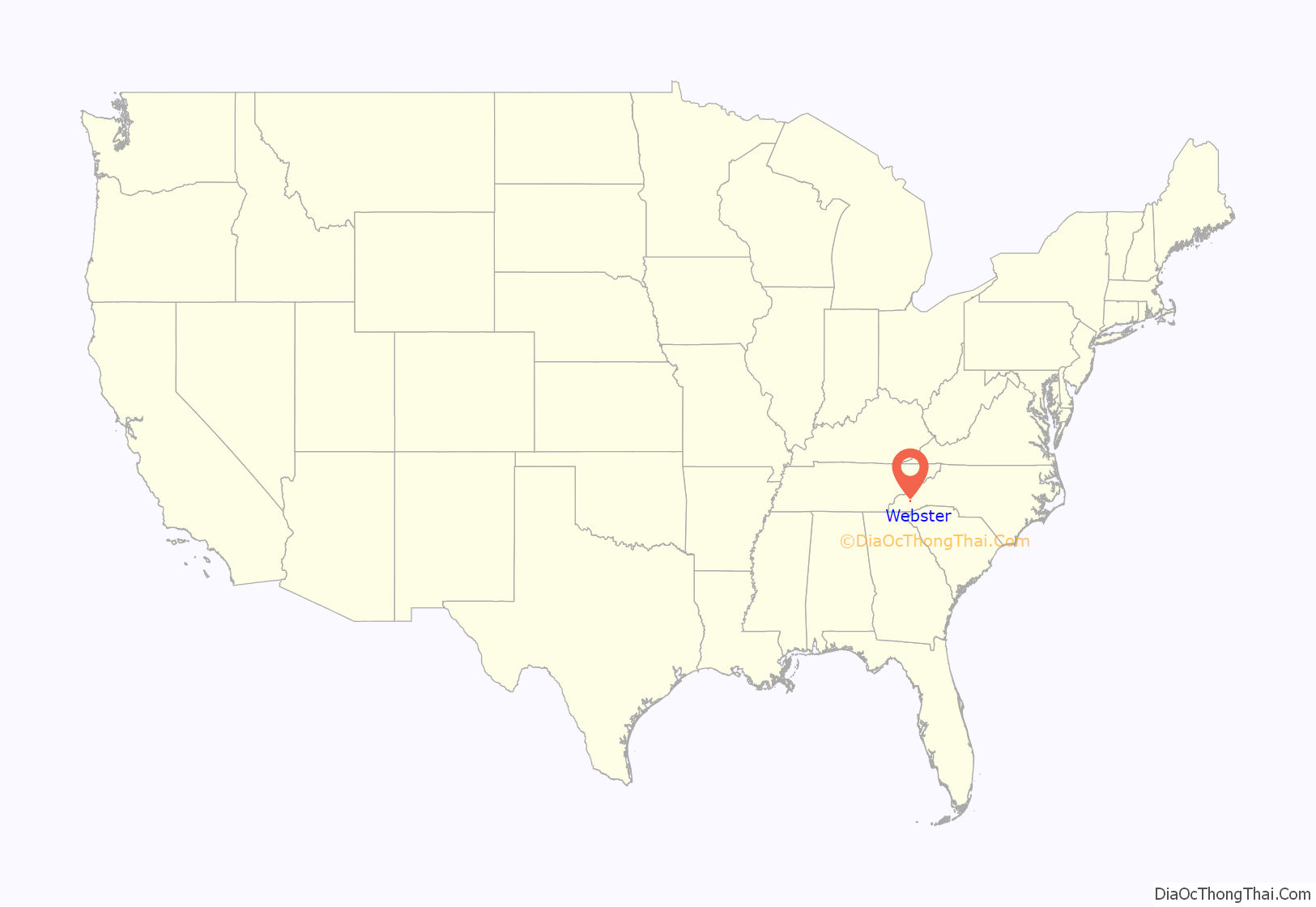
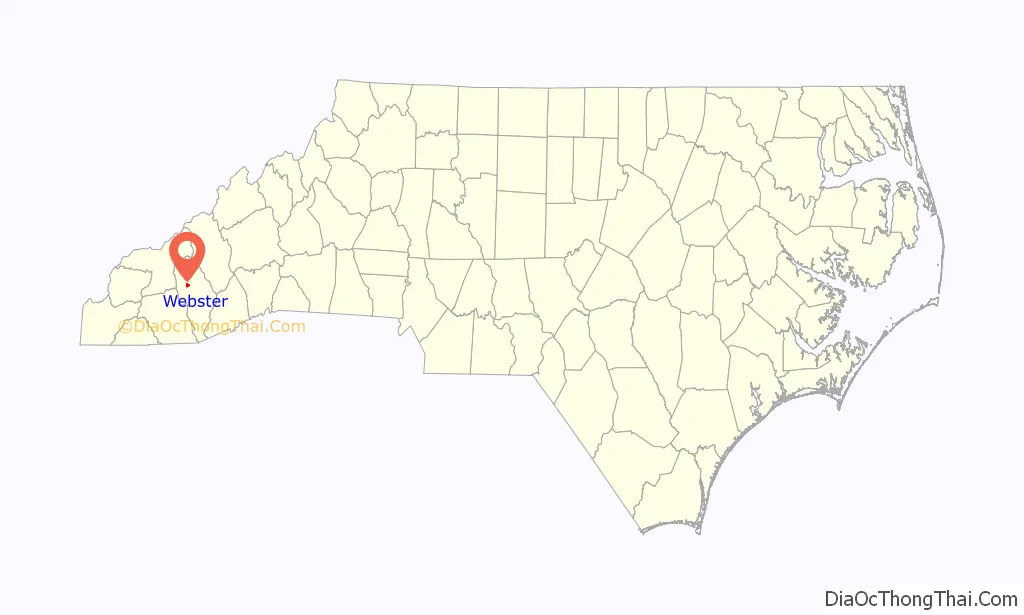
Webster location map. Where is Webster town?
History
Webster was founded in 1851 in order to serve as the county seat of Jackson County. A massive fire and the railroad’s failure to come to the town caused the larger and more powerful railroading center of Sylva to take over the position of county seat. Webster once had a courthouse and many shops, but few of the buildings that hint at its vibrant past as a thriving county seat survive.
Several buildings on the National Register of Historic Places are within the town. The Lucius Coleman Hall House, the Elisha Calor Hedden House, the Walter E. Moore House, and the old Webster Rock Schoolhouse, built by the Works Progress Administration in 1936, were all listed in 1990. The Webster Baptist Church, built in 1900, and the Webster Methodist Church, next to the old school and built around the same time, were listed in 1989; the former is across the Tuckasegee River outside the town limits but still considered to be in Webster.
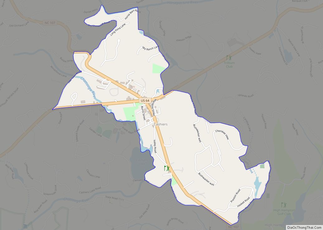
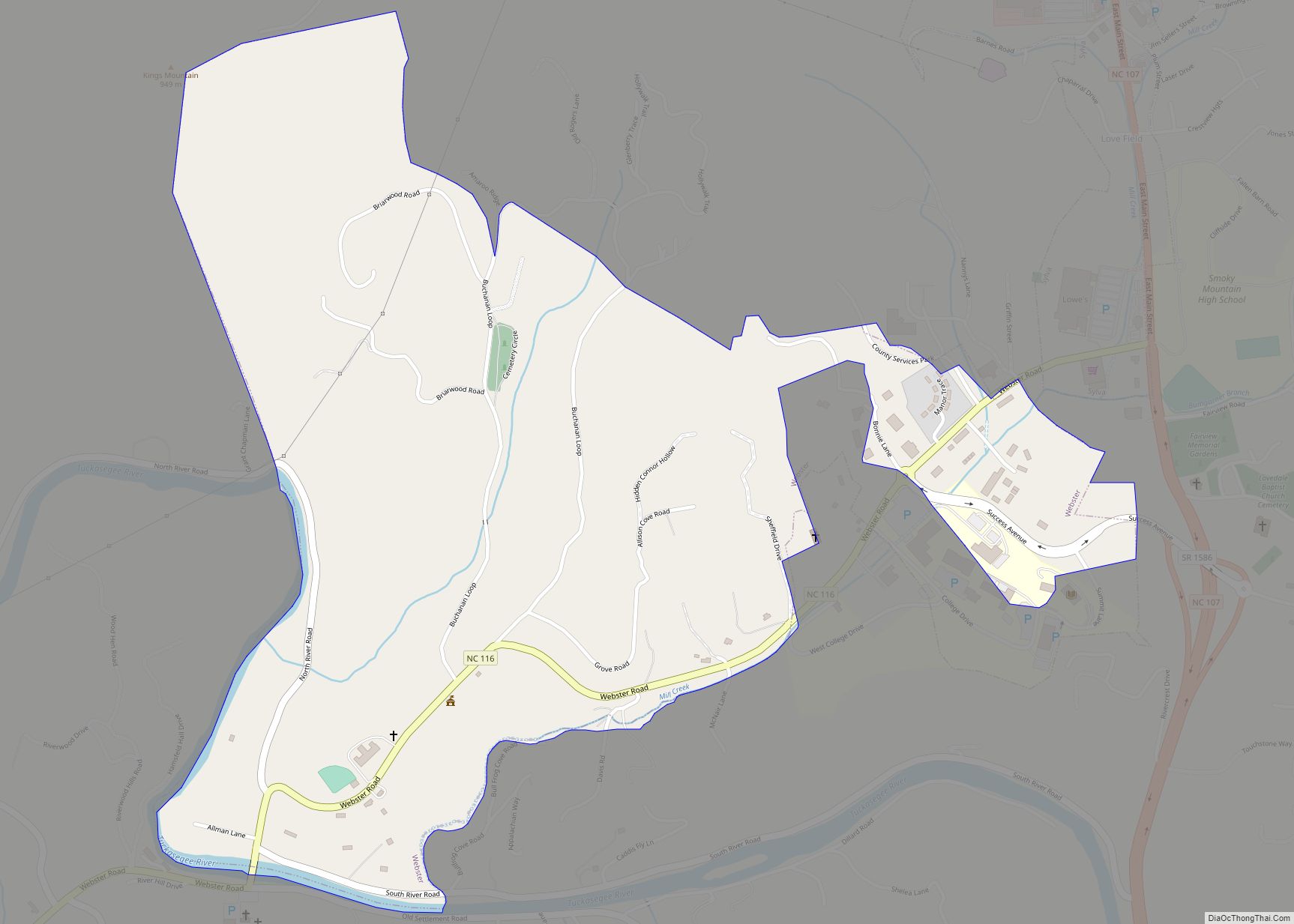
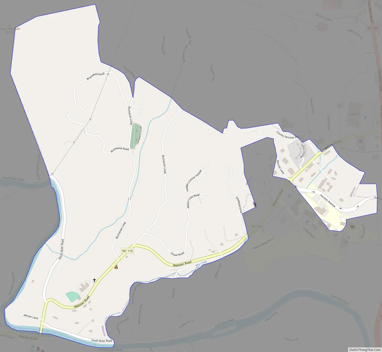
Webster Road Map
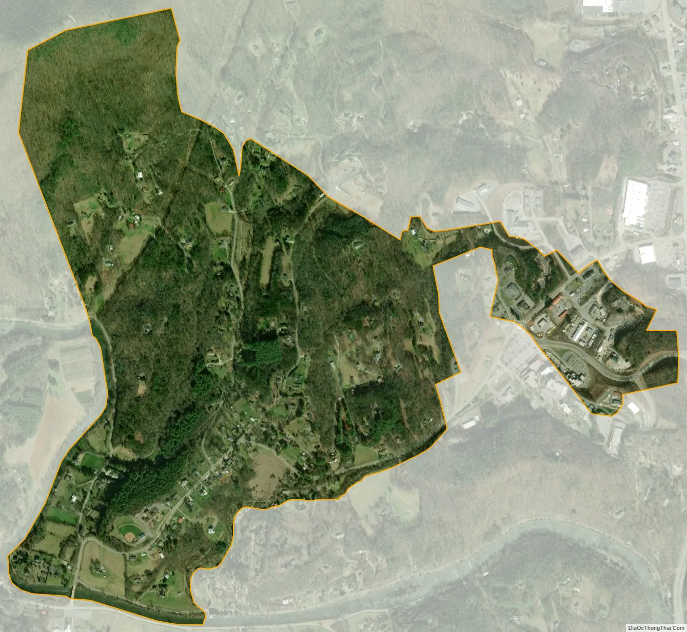
Webster city Satellite Map
Geography
Webster is located in north-central Jackson County at 35°20′43″N 83°12′48″W / 35.34528°N 83.21333°W / 35.34528; -83.21333 (35.345264, -83.213460), north of the Tuckasegee River. North Carolina Highway 116 runs through the town, leading east 1 mile (1.6 km) to North Carolina Highway 107 and west across the Tuckasegee 2.5 miles (4.0 km) to U.S. Route 23. NC 107 runs along the eastern edge of Webster, leading north 2 miles (3 km) to Sylva and south 3 miles (5 km) to Cullowhee.
According to the United States Census Bureau, Webster has a total area of 1.0 square mile (2.6 km), all land.
See also
Map of North Carolina State and its subdivision:- Alamance
- Alexander
- Alleghany
- Anson
- Ashe
- Avery
- Beaufort
- Bertie
- Bladen
- Brunswick
- Buncombe
- Burke
- Cabarrus
- Caldwell
- Camden
- Carteret
- Caswell
- Catawba
- Chatham
- Cherokee
- Chowan
- Clay
- Cleveland
- Columbus
- Craven
- Cumberland
- Currituck
- Dare
- Davidson
- Davie
- Duplin
- Durham
- Edgecombe
- Forsyth
- Franklin
- Gaston
- Gates
- Graham
- Granville
- Greene
- Guilford
- Halifax
- Harnett
- Haywood
- Henderson
- Hertford
- Hoke
- Hyde
- Iredell
- Jackson
- Johnston
- Jones
- Lee
- Lenoir
- Lincoln
- Macon
- Madison
- Martin
- McDowell
- Mecklenburg
- Mitchell
- Montgomery
- Moore
- Nash
- New Hanover
- Northampton
- Onslow
- Orange
- Pamlico
- Pasquotank
- Pender
- Perquimans
- Person
- Pitt
- Polk
- Randolph
- Richmond
- Robeson
- Rockingham
- Rowan
- Rutherford
- Sampson
- Scotland
- Stanly
- Stokes
- Surry
- Swain
- Transylvania
- Tyrrell
- Union
- Vance
- Wake
- Warren
- Washington
- Watauga
- Wayne
- Wilkes
- Wilson
- Yadkin
- Yancey
- Alabama
- Alaska
- Arizona
- Arkansas
- California
- Colorado
- Connecticut
- Delaware
- District of Columbia
- Florida
- Georgia
- Hawaii
- Idaho
- Illinois
- Indiana
- Iowa
- Kansas
- Kentucky
- Louisiana
- Maine
- Maryland
- Massachusetts
- Michigan
- Minnesota
- Mississippi
- Missouri
- Montana
- Nebraska
- Nevada
- New Hampshire
- New Jersey
- New Mexico
- New York
- North Carolina
- North Dakota
- Ohio
- Oklahoma
- Oregon
- Pennsylvania
- Rhode Island
- South Carolina
- South Dakota
- Tennessee
- Texas
- Utah
- Vermont
- Virginia
- Washington
- West Virginia
- Wisconsin
- Wyoming