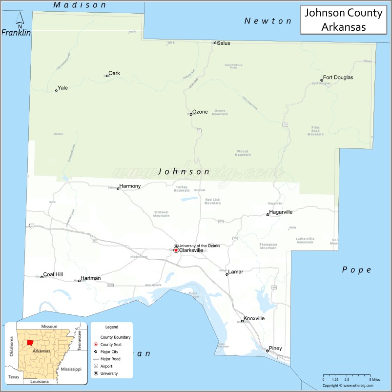
Johnson County is a county located in the U.S. state of Arkansas. As of the 2020 census, the population was 25,749. The county seat is Clarksville. Johnson County is Arkansas’s 30th county, formed on November 16, 1833, from a portion of Pope County and named for Benjamin Johnson, a Territorial Judge. It is an alcohol prohibition or dry county.
| Name: | Johnson County |
|---|---|
| FIPS code: | 05-071 |
| State: | Arkansas |
| Founded: | November 16, 1833 |
| Seat: | Clarksville |
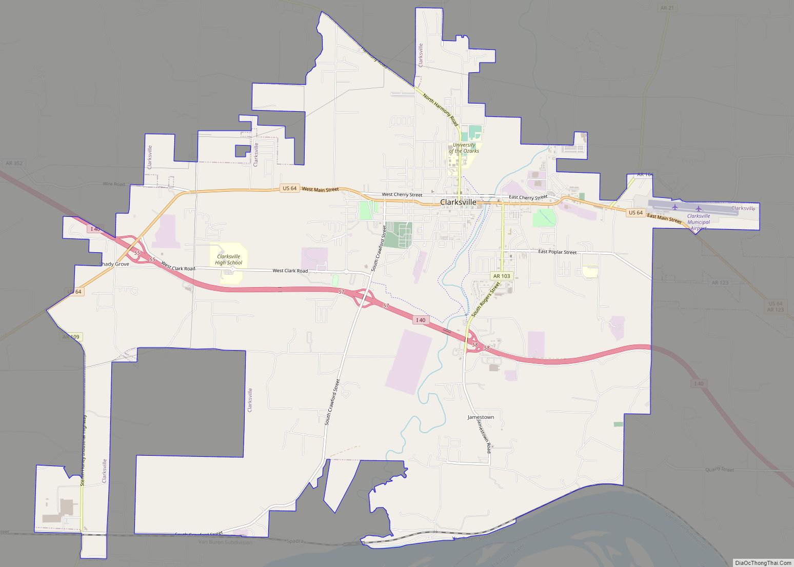
| Largest city: | Clarksville |
| Total Area: | 683 sq mi (1,770 km²) |
| Land Area: | 660 sq mi (1,700 km²) |
| Total Population: | 25,749 |
| Population Density: | 38/sq mi (15/km²) |
| Time zone: | UTC−6 (Central) |
| Summer Time Zone (DST): | UTC−5 (CDT) |
| Website: | johnsoncounty.arkansas.gov |
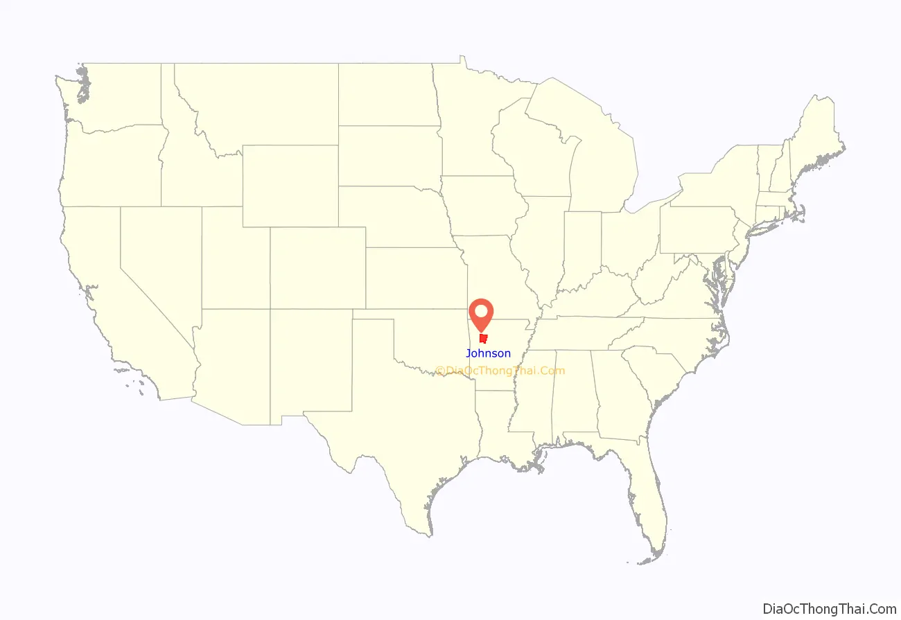
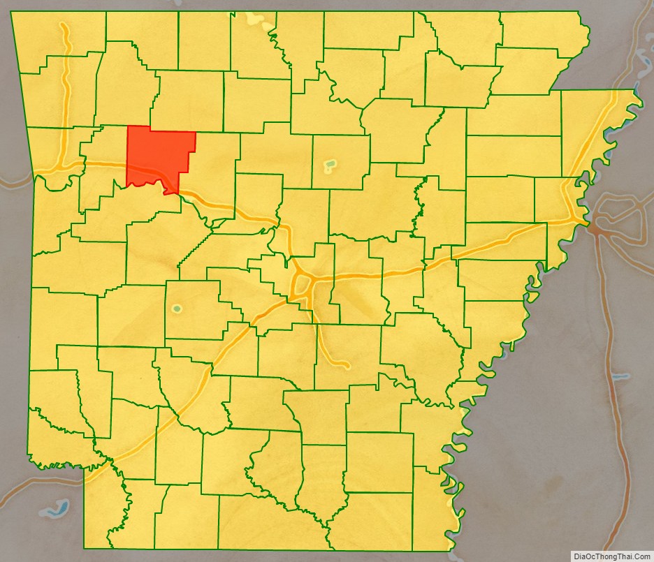
Johnson County location map. Where is Johnson County?
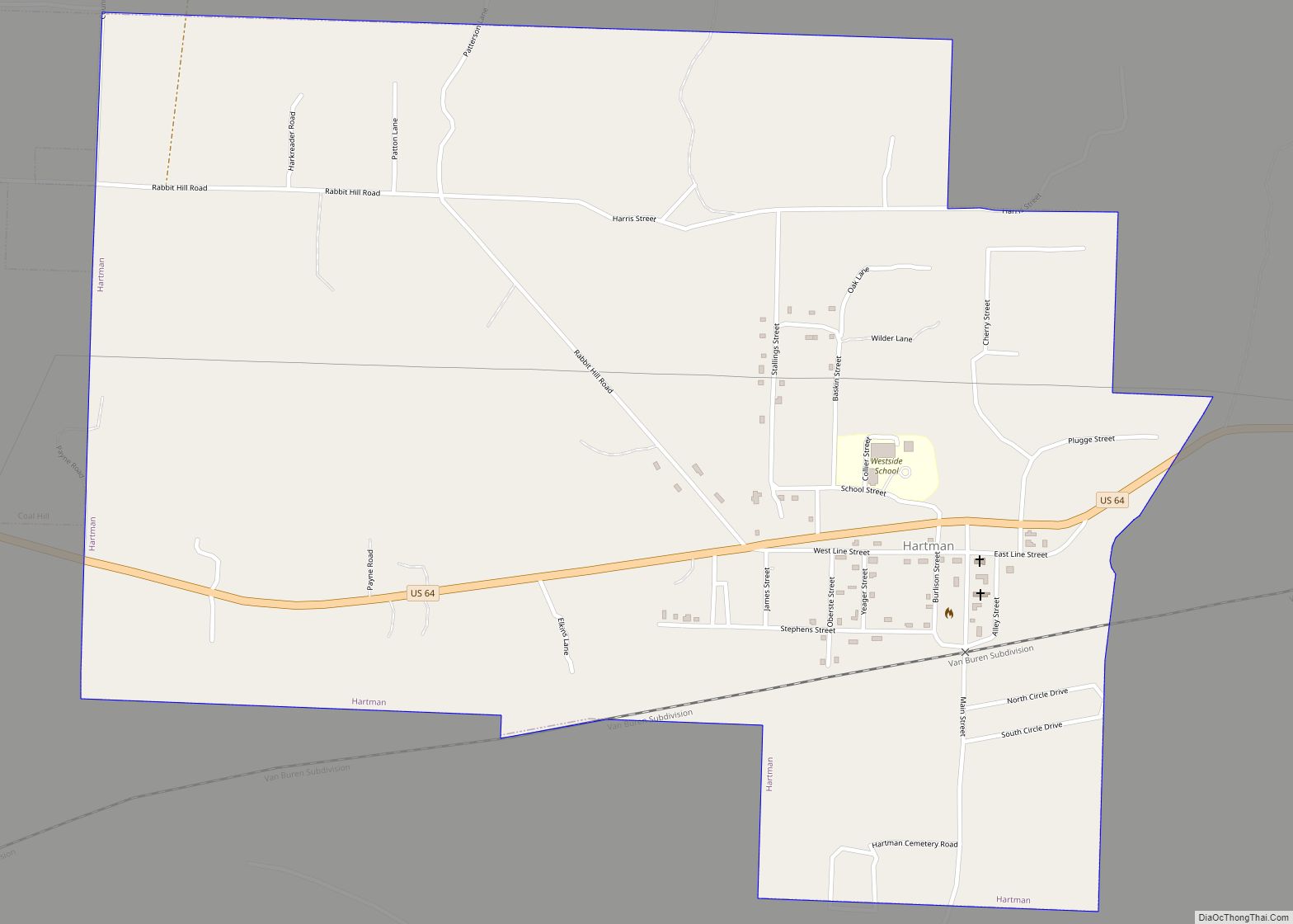
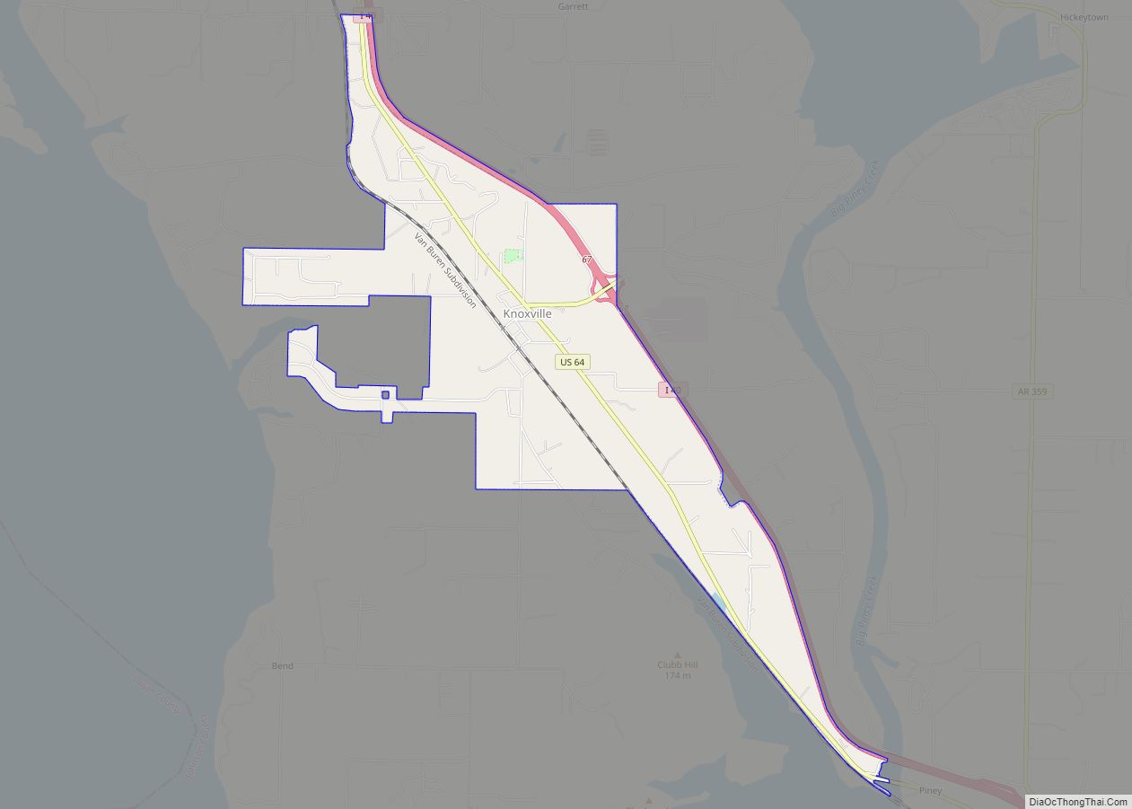
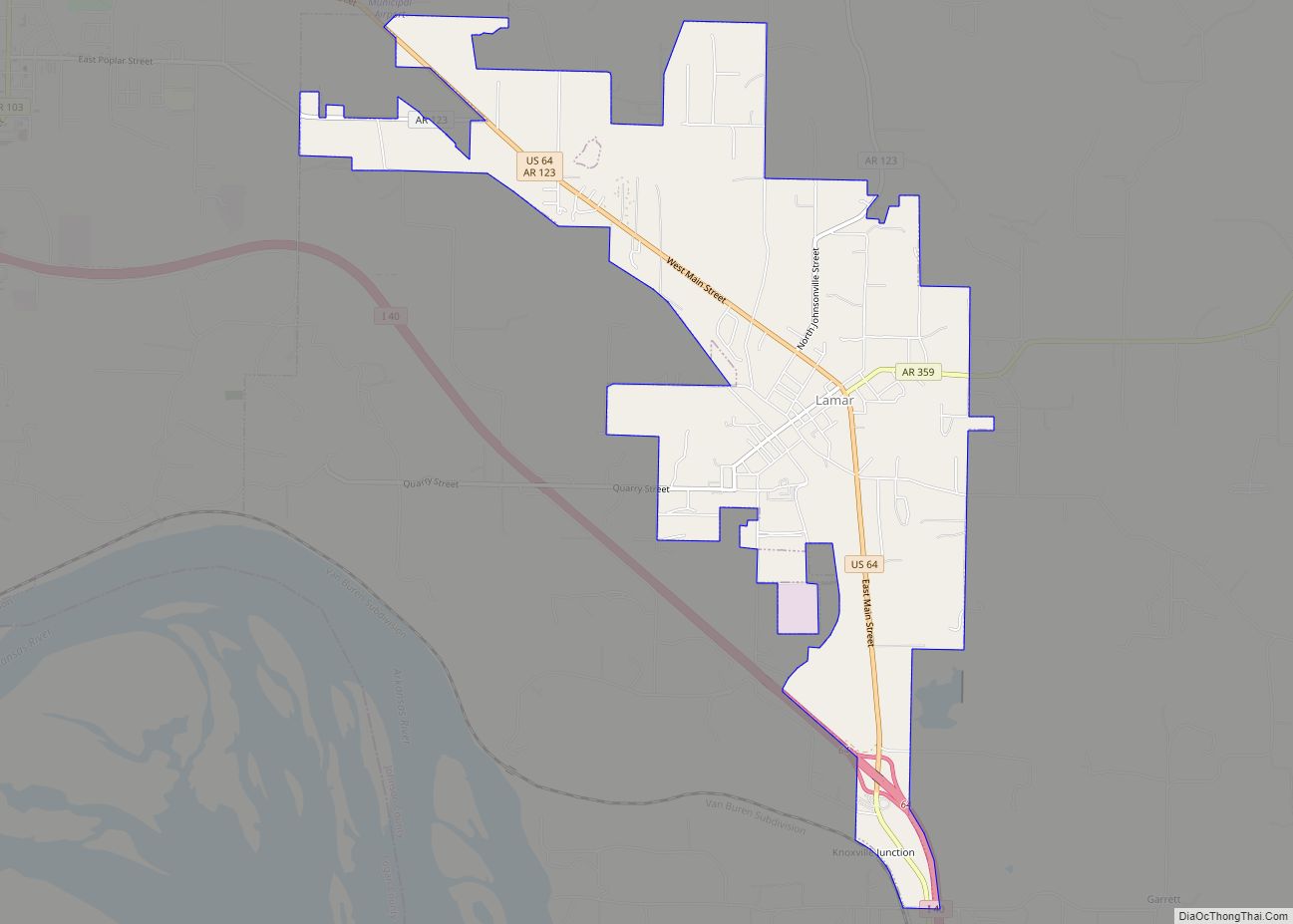
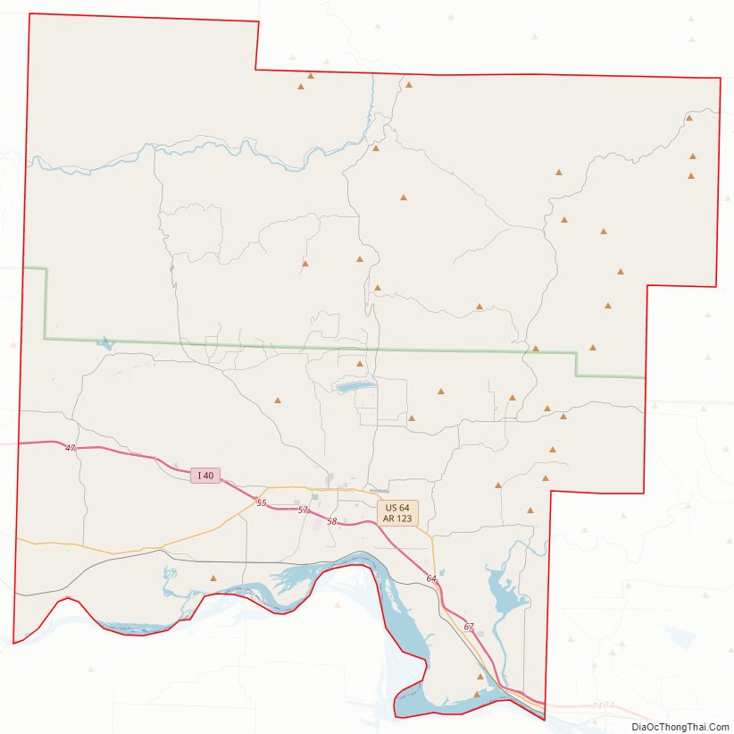
Johnson County Road Map
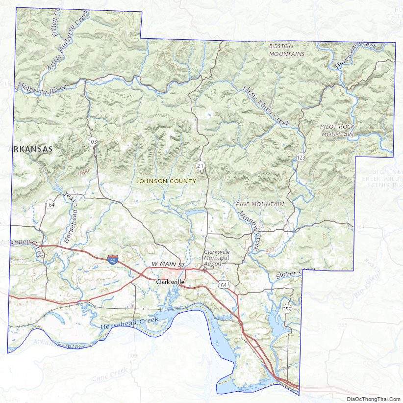
Geography
According to the U.S. Census Bureau, the county has a total area of 683 square miles (1,770 km), of which 660 square miles (1,700 km) is land and 23 square miles (60 km) (3.4%) is water.
Major highways
- Interstate 40
- U.S. Route 64
- Arkansas Highway 21
- Arkansas Highway 103
- Arkansas Highway 109
- Arkansas Highway 123
Adjacent counties
- Newton County (north)
- Pope County (east)
- Logan County (south)
- Franklin County (west)
- Madison County (northwest)
National protected area
- Ozark National Forest (part)
Johnson County Topographic Map
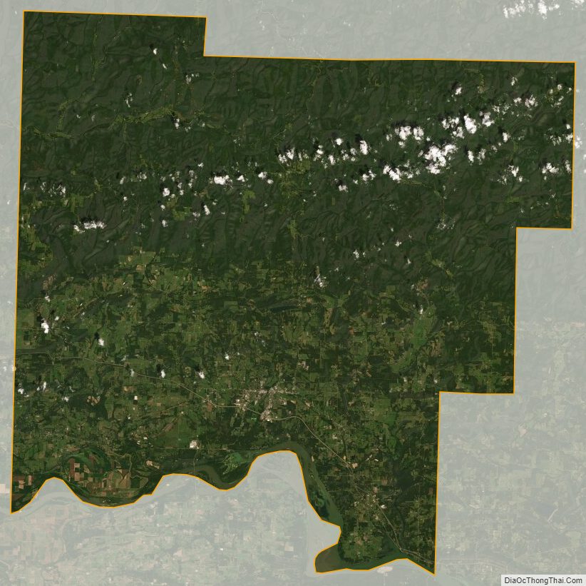
Johnson County Satellite Map
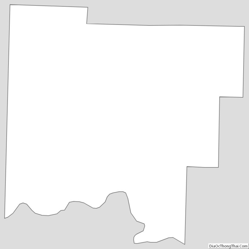
Johnson County Outline Map