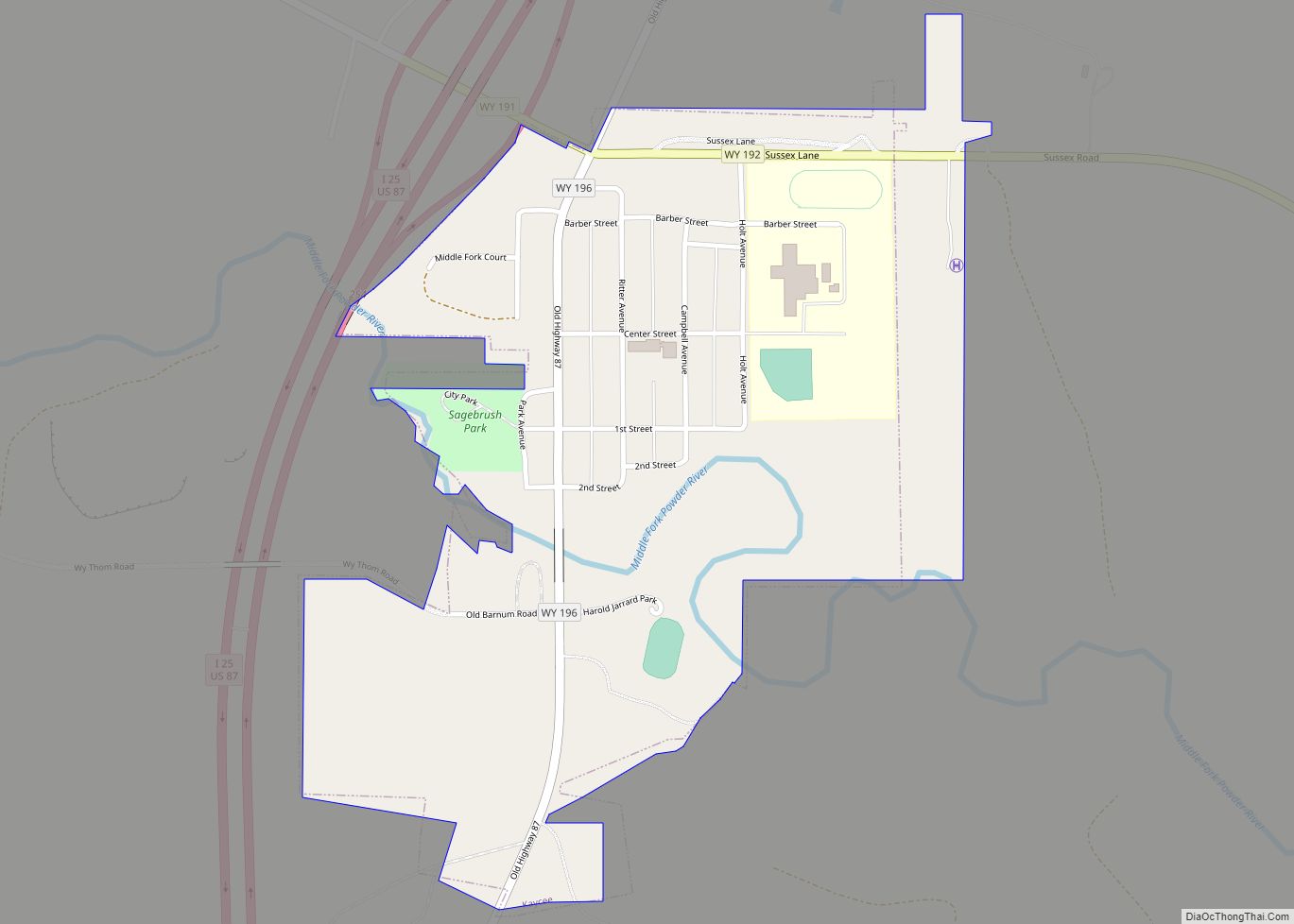
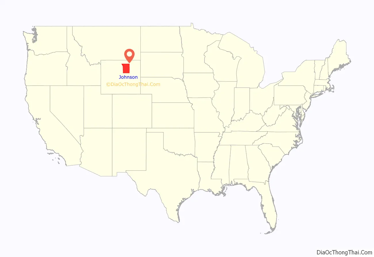
Johnson County is a county in the north central part of the U.S. state of Wyoming. At the 2020 United States Census, the population was 8,447. The county seat is Buffalo. Kaycee is the only other incorporated town in the county.
Johnson County lies to the southeast of the Bighorn Mountains along Interstate 25 and Interstate 90. The Powder River flows northward through eastern Johnson County.
| Name: | Johnson County |
|---|---|
| FIPS code: | 56-019 |
| State: | Wyoming |
| Founded: | December 8, 1875 (authorized) 1881 (organized) |
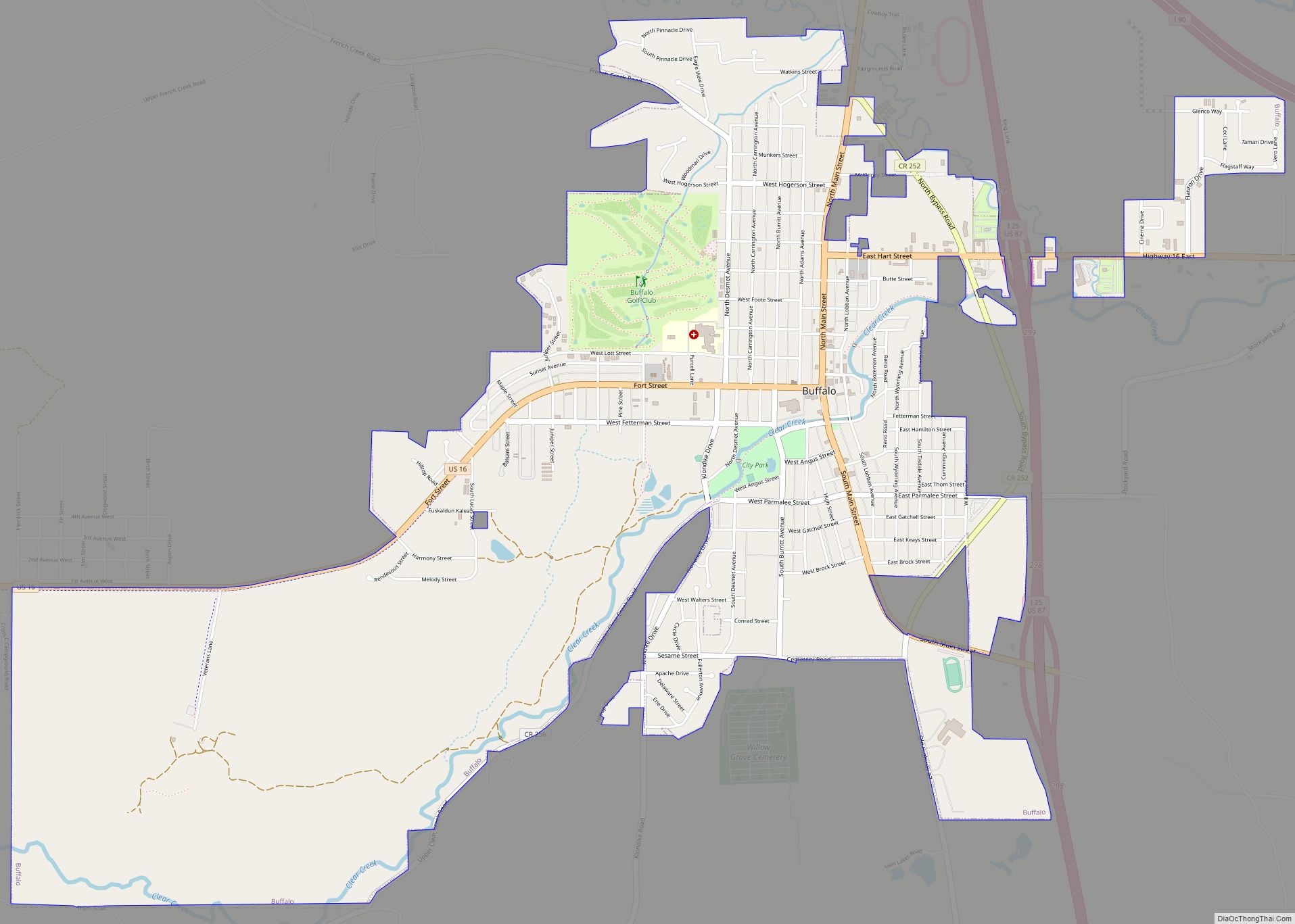
| Seat: | Buffalo |
| Largest city: | Buffalo |
| Total Area: | 4,175 sq mi (10,810 km²) |
| Land Area: | 4,154 sq mi (10,760 km²) |
| Total Population: | 8,447 |
| Population Density: | 2.0/sq mi (0.78/km²) |
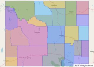
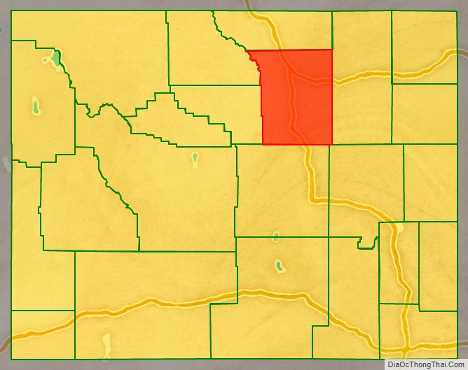
Johnson County location map. Where is Johnson County?
History
Johnson County was created on December 8, 1875, as Pease County from parts of Albany, Carbon and Sweetwater Counties. It was organized in 1881. The county was named for Dr. E. L. Pease of Uinta County. In 1879, the county was renamed Johnson, for E. P. Johnson, a Cheyenne attorney.
In 1888, Sheridan County was created from a portion of Johnson County. In 1890, Big Horn County was created from Johnson County along with land from Fremont County and Sheridan County. In 1911, the boundaries of Johnson County and adjacent Crook, Natrona and Weston Counties were adjusted to run along federal land survey lines.
In April 1892, Johnson County was the scene of the Johnson County War, a range war between large cattle outfits and small stockgrowers.
Flag
Johnson County flag is based on the ikurriña; since the birth of Jean Esponda from Baigorri, there has been a large Basque population in the county.
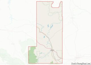
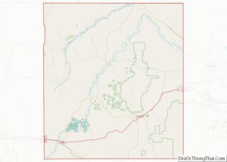
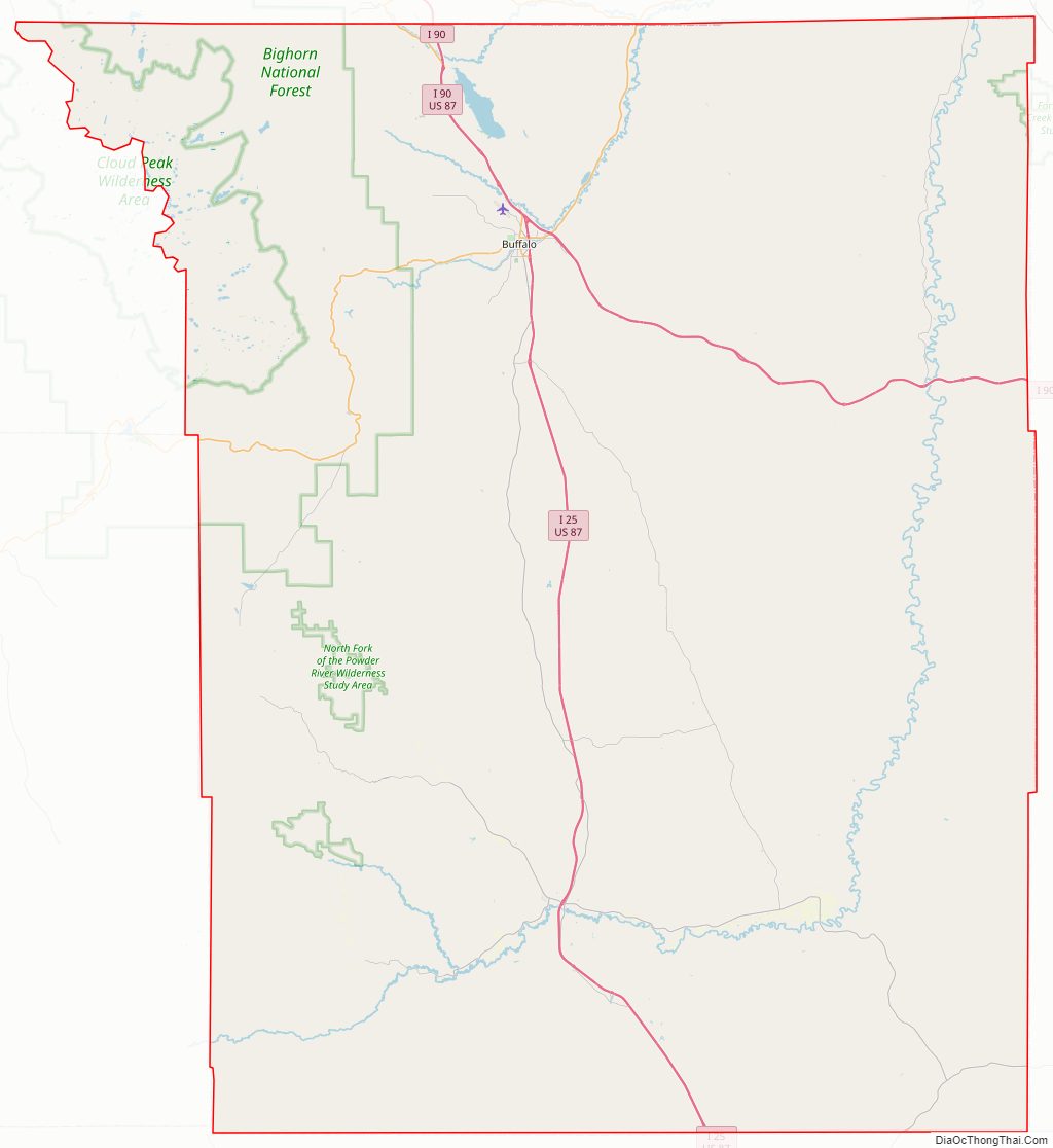
Johnson County Road Map
Geography
According to the US Census Bureau, the county has an area of 4,175 square miles (10,810 km), of which 4,154 square miles (10,760 km) is land and 20 square miles (52 km) (0.5%) is water.
Adjacent counties
- Sheridan County (north)
- Campbell County (east)
- Converse County (southeast)
- Natrona County (south)
- Washakie County (west)
- Big Horn County (northwest)
Major highways
- Interstate 25
- Interstate 90
- U.S. Highway 16
- U.S. Highway 87
- Wyoming Highway 192
- Wyoming Highway 193
- Wyoming Highway 196
- Wyoming Highway 387
National protected area
- Bighorn National Forest (part)
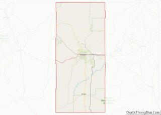
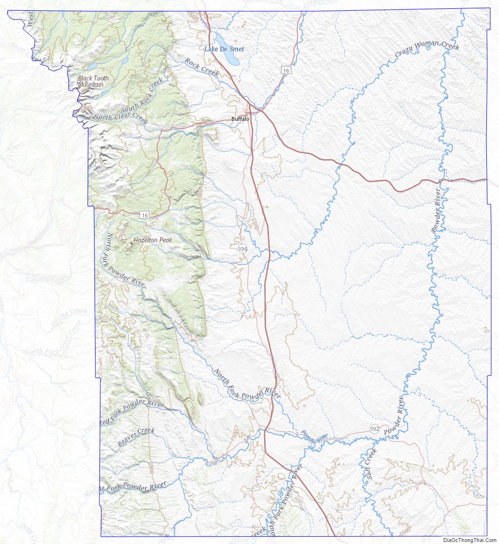
Johnson County Topographic Map
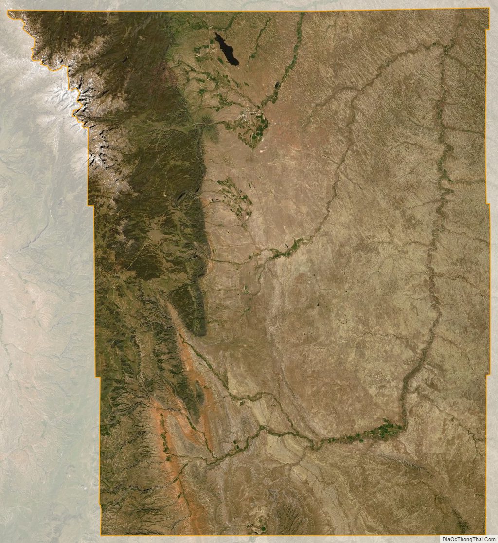
Johnson County Satellite Map
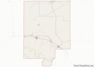
Johnson County Outline Map