King and Queen County is a county in the U.S. state of Virginia, located in the state’s Middle Peninsula on the eastern edge of the Richmond, VA metropolitan area. As of the 2020 census, the population was 6,608. Its county seat is King and Queen Court House.
| Name: | King and Queen County |
|---|---|
| FIPS code: | 51-097 |
| State: | Virginia |
| Founded: | 1691 |
| Named for: | William III and Mary II of England |
| Seat: | King and Queen Court House |
| Total Area: | 326 sq mi (840 km²) |
| Land Area: | 315 sq mi (820 km²) |
| Total Population: | 6,608 |
| Population Density: | 20/sq mi (7.8/km²) |
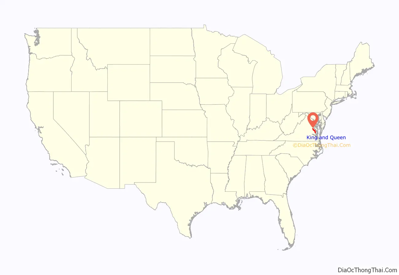
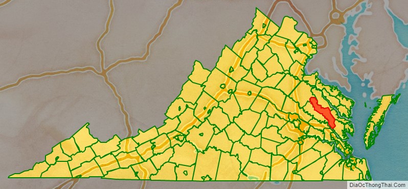
King and Queen County location map. Where is King and Queen County?
History
King and Queen County was established in 1691 from New Kent County. The county is named for King William III and Queen Mary II of England. King and Queen County is notable as one of the few counties in the United States to have recorded a larger population in the 1790 census than in the 2010 one.
Among the earliest settlers of King and Queen County was Roger Shackelford, an English emigrant from Old Alresford, Hampshire, after whom the county’s village of Shacklefords is named. Shackelford’s descendants continued to live in the county, and by the nineteenth century had intermarried with several local families, including Taliaferro, Beverley, Thornton, and Sears.
In 1762 when he was 11, future president James Madison was sent to a boarding school run by Donald Robertson at the Innes plantation in King and Queen County. Robertson was a Scottish teacher who tutored numerous prominent plantation families in the South. From Robertson, Madison learned mathematics, geography, and modern and classical languages—he became especially proficient in Latin. He attributed his instinct for learning “largely to that man (Robertson).” At age 16, Madison returned to his father’s Montpelier estate in Orange County.
On March 2, 1864, the Battle of Walkerton, an engagement of the American Civil War took place here, resulting in a Confederate victory.
Virginia Longest, national director of Nursing Service for the U.S. Department of Veterans Affairs, was a county native.
Richard and Mildred Loving lived in a remote part of the county, hoping to avoid arrest by the authorities while their legal challenge to Virginia’s anti-miscegenation laws moved through the courts.
For many years, county publications noted that the county lacked any traffic lights. This is now no longer the case, as a traffic light has been installed on U.S. Route 360 at St. Stephen’s Church.
Even in the 21st century, King and Queen County contains no incorporated towns or cities, and remains one of Virginia’s most sparsely-populated counties.
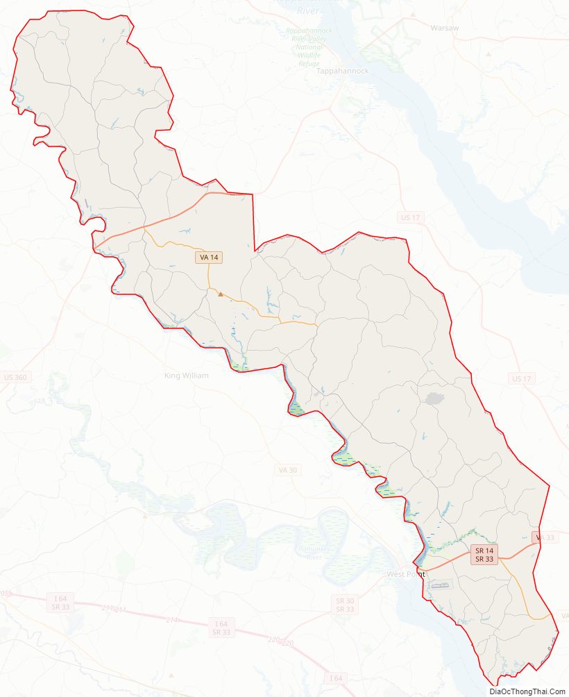
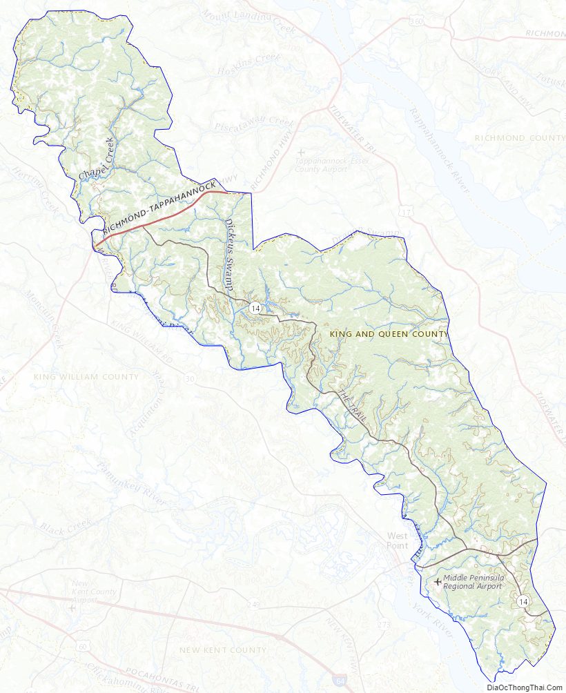
King and Queen County Road Map
Geography
According to the U.S. Census Bureau, the county has a total area of 326 square miles (840 km), of which 315 square miles (820 km) is land and 11 square miles (28 km) (3.4%) is water.
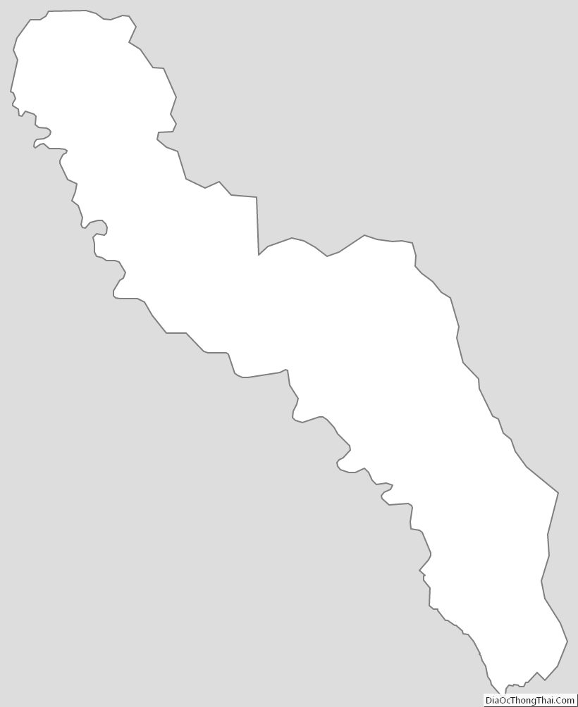
Measuring 72 miles in length, it is known as the longest county in the state of Virginia. Although it is long in length, it extremely narrow measuring less than 20 miles wide.
Adjacent Counties
- Caroline County – north
- Essex County – northeast
- Middlesex County – east
- Gloucester County – southeast
- James City County – south
- New Kent County – southwest
- King William County – west
Major Highways
- US 360
- SR 14
- SR 33
- SR 40
King and Queen County Topographic Map
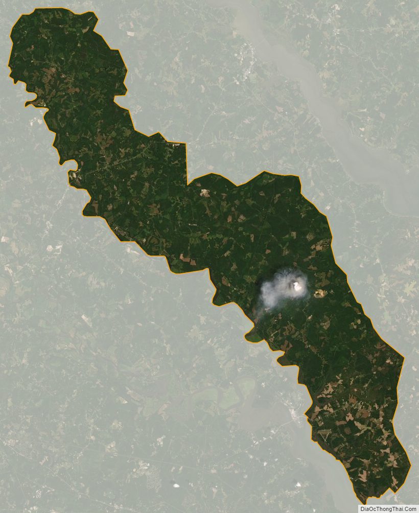
King and Queen County Satellite Map
King and Queen County Outline Map