New Kent County is a county in the eastern part the Commonwealth of Virginia. As of the 2020 United States Census, its population was 22,945. Its county seat is New Kent.
New Kent County is included in the Greater Richmond Region.
| Name: | New Kent County |
|---|---|
| FIPS code: | 51-127 |
| State: | Virginia |
| Founded: | 1654 |
| Named for: | Kent, England |
| Seat: | New Kent |
| Total Area: | 222 sq mi (570 km²) |
| Land Area: | 210 sq mi (500 km²) |
| Total Population: | 22,945 |
| Population Density: | 100/sq mi (40/km²) |
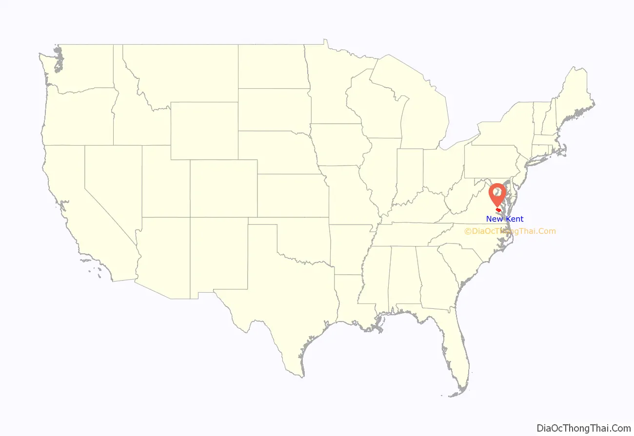
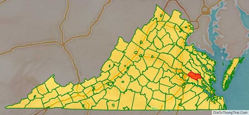
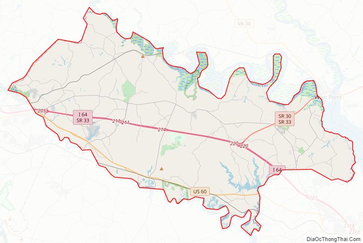
New Kent County location map. Where is New Kent County?
History
New Kent County was established in 1654, as the Virginia General Assembly with the governor’s consent split York County. The county’s name originated because several prominent inhabitants, including William Claiborne, recently had been forced from their settlement at Kent Island, Maryland, by Lord Baltimore upon the formation of Maryland. Claiborne had named the island for his birthplace in Kent, England. Chickahominy and Pamunkey Native Americans frequented this area, as well as nearby Charles City County and King William County, and both tribes remain well-established in this area.
The county had two parishes in the colonial era, initially called Blisland (which also included the older James City County as well as York County) and St. Peter’s. Among the earliest settlers was Nicholas Gentry, who settled in New Kent in 1684. Parish registers of St. Peter’s Parish show that Nicholas Gentry’s daughter was baptized in the church in 1687. In 1719 the Virginia General Assembly split New Kent County, and what had been established St. Paul’s Parish became Hanover County.
New Kent county’s first brick courthouse was built by 1695, but it and two successors were destroyed in 1753 and 1775. Another fire in 1783 destroyed the clerk’s office and jail, so few colonial era non-religious records remain. However, a manual entitled “The Office and Authority of a Justice of Peace” published in 1736 by county court justice George Webb, the son of London merchant Conrad Webb and whose son Lewis Webb would briefly represent New Kent county in the House of Burgesses and later in the House of Delegates during the American Revolutionary War. Perhaps the county’s most noteworthy patriot during the conflict was James, an enslaved man who became a double agent, and whose reports to the Marquis de Lafayette helped secure victory during the Siege of Yorktown months after British troops led by Lt. Gen. Charles Cornwallis passed through the county seat (and raided local plantations) in June 1781. In addition to men who enlisted in the army, New Kent county also established an American military hospital during the conflict. As the result of arson confessed to by John Price Posey and Thomas Green, and allegedly involving “a negro boy belonging to W. Chamberlayne”, many later county records were burned, making identifying relationships between family members difficult.
Two wives of US presidents – Martha Washington and Letitia Christian Tyler—were born in New Kent County. The church where George and Martha Washington are believed to have been wed, St. Peter’s, still holds services today.
Confederate and Union troops fought in as well as passed through New Kent County during the Peninsula Campaign of 1862. The Battle of New Market Heights in September 1864 proved a crucial victory as Federal forces pushed toward the capitol in the Richmond-Petersburg Campaign. A later courthouse, damaged during the Civil War, was replaced in 1909.
During the state’s Massive Resistance crisis in the 1960s, the United States Supreme Court decision in Green v. County School Board of New Kent County (1968) limited the use of freedom of choice plans at publicly funded schools. where the actual operation of such plans delayed racial desegregation.
In 2006, the U.S. Census Bureau, which considers both New Kent County and Hanover County part of the Richmond metropolitan area, rated New Kent County among the top 100 fastest-growing counties in the U.S.
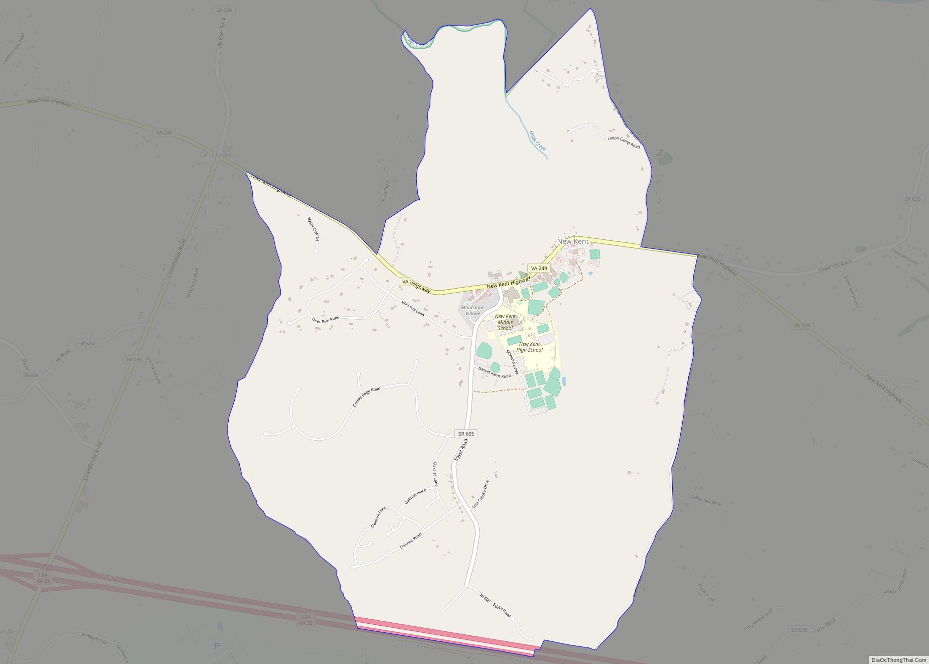
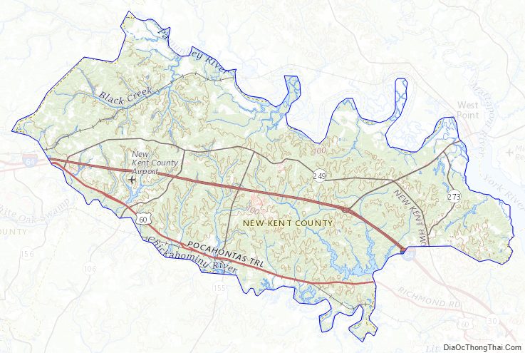
New Kent County Road Map
Geography
The northeast border of the county is defined by the meanderings of the Pamunkey River, and the southwest county border is similarly defined by the Chickahominy River. The county terrain consists of rolling hills, either wooded or devoted to agriculture, and carved by drainages. The terrain slopes to the east and south, with its highest point on the west border at 174′ (53m) ASL. The county has a total area of 223 sq mi (579 km), of which 210 sq mi (543 km) are land and 14 square miles (36 km) (6.23%) are covered by water.
Adjacent counties
- King William County – north
- King and Queen County – northeast
- James City County – southeast
- Charles City County -south
- Henrico County – southwest
- Hanover County – west
Protected areas
- Crawfords State Forest
- Cumberland Marsh Natural Area Preserve
Lakes
- Cooks Millpond
- Davis Pond
- Davis Pond North
- Diascund Creek Reservoir
- Goddins Pond
- Kent Lake
- Old Forge Pond
- Richardson Millpond (part)
- Taylor Pond
New Kent County Topographic Map
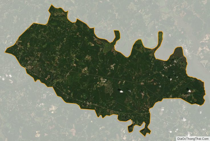
New Kent County Satellite Map
New Kent County Outline Map