King William County is a county located in the U.S. state of Virginia. As of the 2020 census, the population was 17,810. Its county seat is King William.
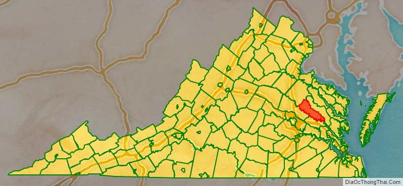
King William County is located in the Middle Peninsula and is included in the Greater Richmond Region.
| Name: | King William County |
|---|---|
| FIPS code: | 51-101 |
| State: | Virginia |
| Founded: | 1702 |
| Named for: | William III |
| Seat: | King William |
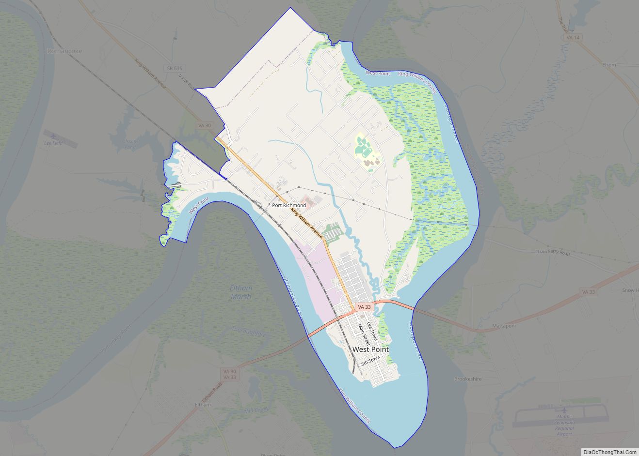
| Largest town: | West Point |
| Total Area: | 286 sq mi (740 km²) |
| Land Area: | 274 sq mi (710 km²) |
| Total Population: | 17,810 |
| Population Density: | 62/sq mi (24/km²) |
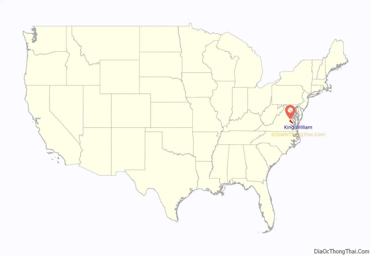
King William County location map. Where is King William County?
History
For thousands of years before European contact, indigenous peoples of North America lived in the Tidewater area of present-day Virginia. At the time of the founding of Jamestown, 30 Virginia Native American tribes comprised the Powhatan paramountcy, numbering 14,000-21,000 people. The Algonquian-speaking Mattaponi Indian Tribe and Upper Mattaponi tribe, among the 11 tribes recognized by the state of Virginia, are located in the county. The Mattaponi are one of two Virginia Indian tribes who still occupy reservation land first allocated by the English under treaty in the 17th century.
One prominent family during Colonial Virginia times was that of William Aylett. The Tobacco Inspection Act of 1730 established a tobacco inspection warehouse at Aylett’s. Aylett’s daughters intermarried with other Northern Neck families.
English colonists formed King William County in 1702 out of King and Queen County. The county is named for William of Orange, King of England. The courthouse, built in 1725, is the oldest courthouse in continuous use in the United States.
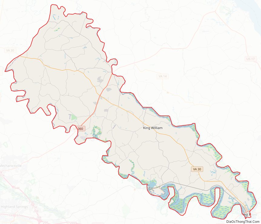
King William County Road Map
Geography
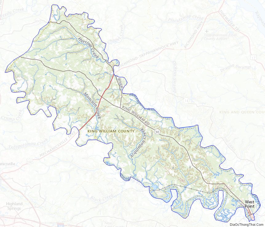
According to the U.S. Census Bureau, the county has a total area of 286 square miles (740 km), of which 274 square miles (710 km) is land and 12 square miles (31 km) (4.1%) is water. King William County is bounded by the Mattaponi River to the north and the Pamunkey River to the south. The two rivers combine to form the York River, at West Point, the county’s largest town.
Adjacent counties
- Caroline County – northwest
- King and Queen County – northeast
- New Kent County – south
- Hanover County – southwest
Major Highways
- US 360
- SR 30
- SR 33
- SR 296
- SR 298
King William County Topographic Map
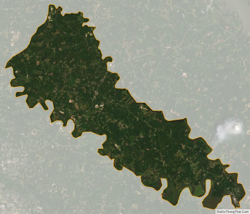
King William County Satellite Map
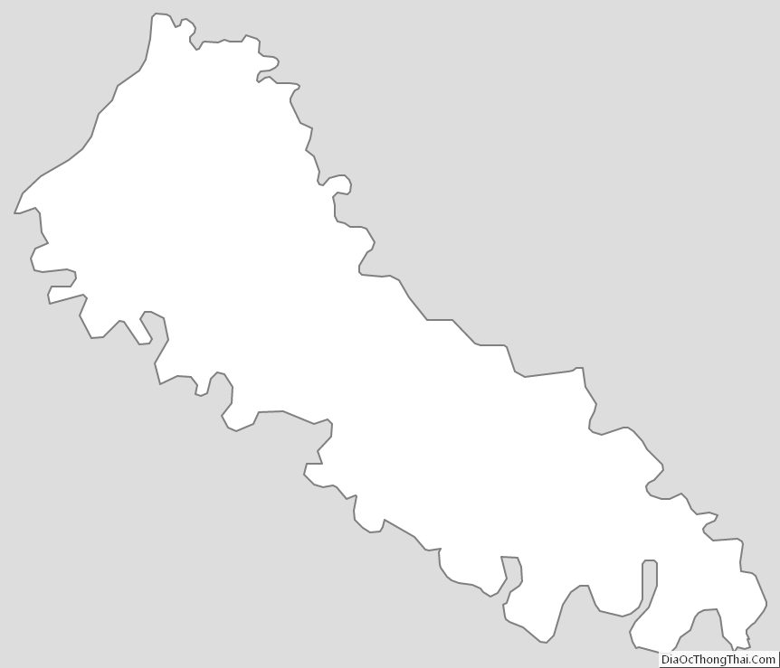
King William County Outline Map