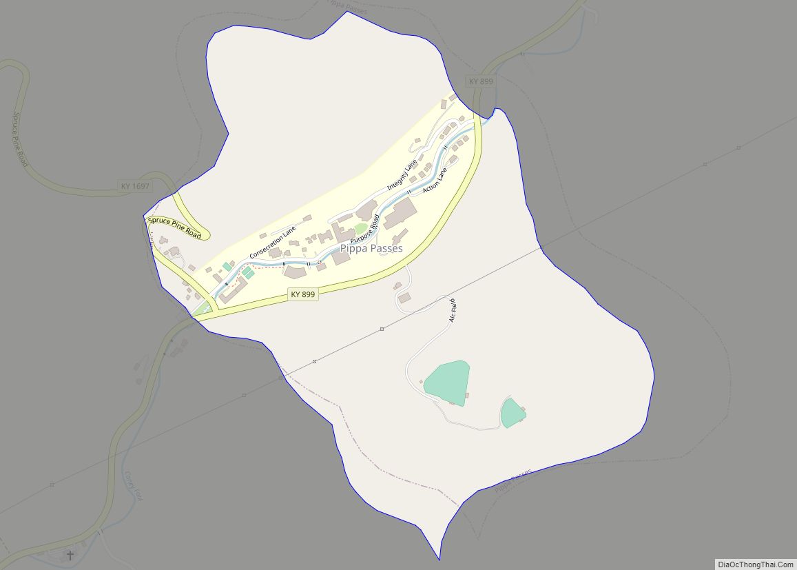
Knott County is a county located in the U.S. state of Kentucky. As of the 2020 census, the population was 14,251. Its county seat is Hindman. The county was formed in 1884 and is named for James Proctor Knott, Governor of Kentucky (1883–1887). It is a prohibition or dry county. Its county seat is home to the Hindman Settlement School, founded as America’s first settlement school. The Knott County town of Pippa Passes is home to Alice Lloyd College.
| Name: | Knott County |
|---|---|
| FIPS code: | 21-119 |
| State: | Kentucky |
| Founded: | 1884 |
| Named for: | James Proctor Knott |
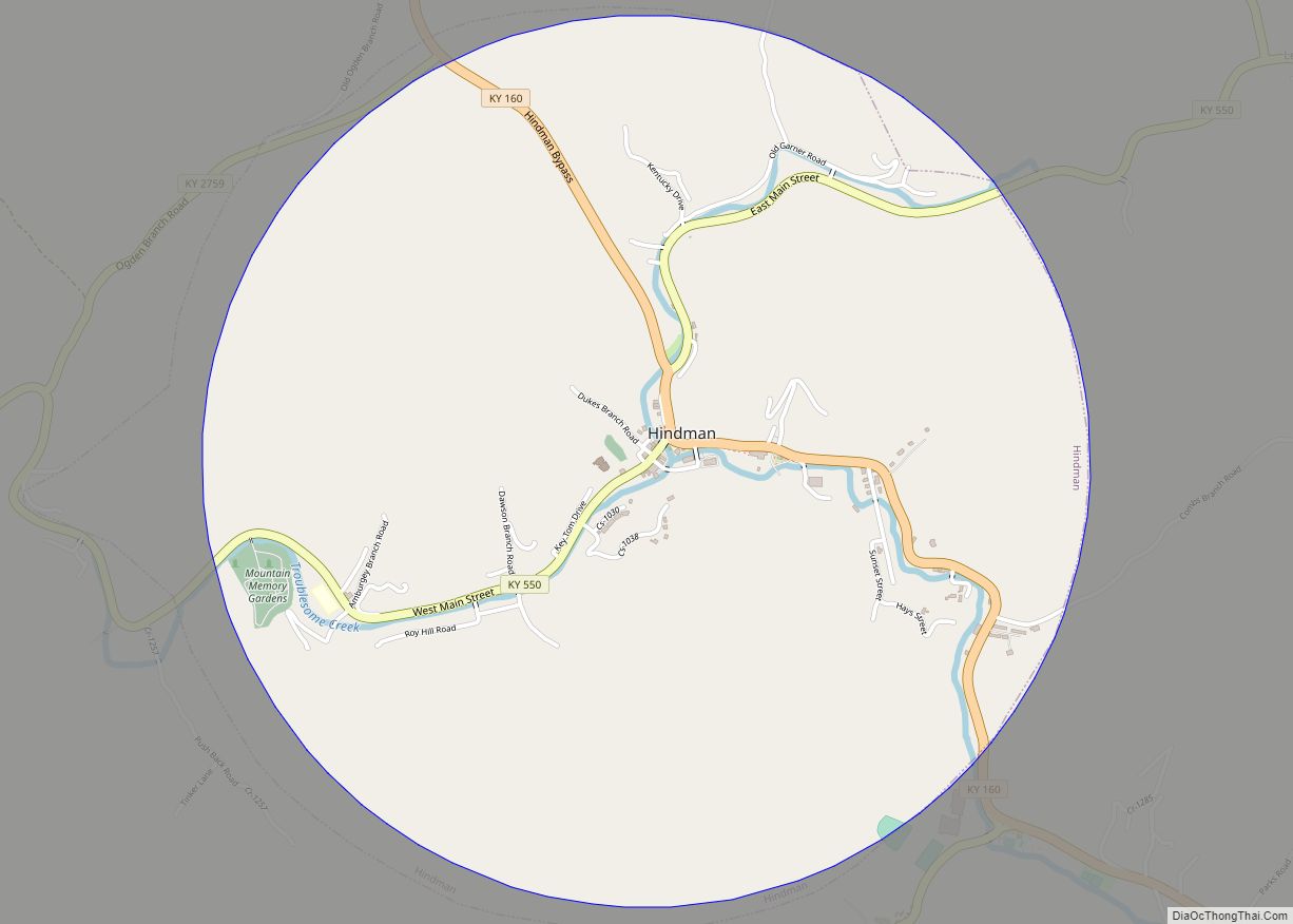
| Seat: | Hindman |
| Largest city: | Hindman |
| Total Area: | 353 sq mi (910 km²) |
| Land Area: | 352 sq mi (910 km²) |
| Total Population: | 14,251 |
| Population Density: | 40/sq mi (16/km²) |
| Time zone: | UTC−5 (Eastern) |
| Summer Time Zone (DST): | UTC−4 (EDT) |
| Website: | www.knottky.com |
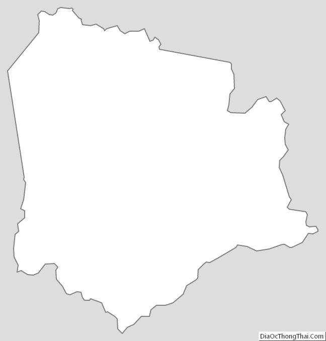
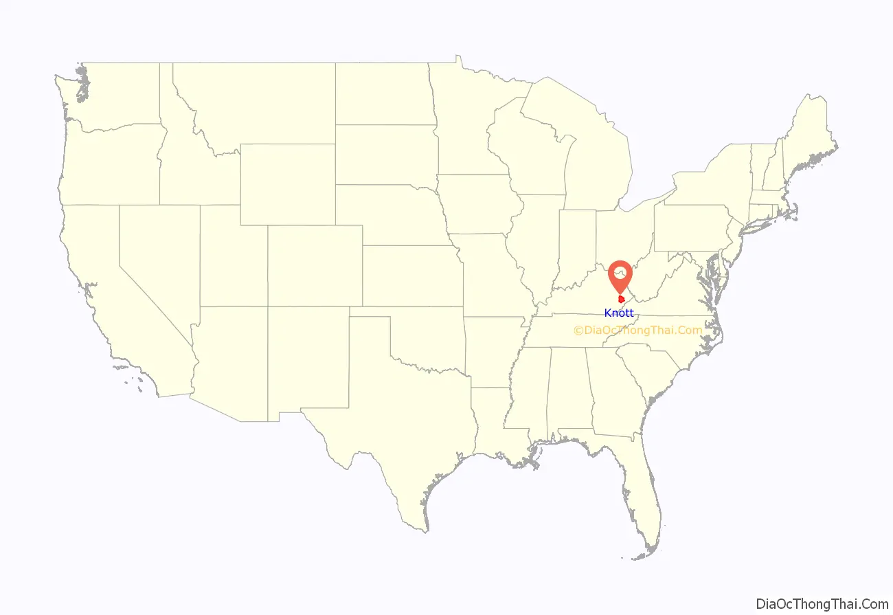
Knott County location map. Where is Knott County?

History
Knott County was established in 1884 from land given by Breathitt, Floyd, Letcher, and Perry counties. The 1890s-era courthouse, the second to serve the county, burned in 1929.
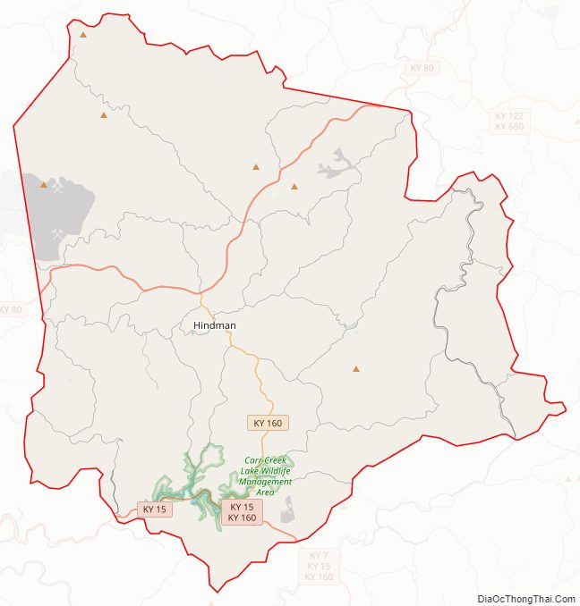
Knott County Road Map
Geography
According to the United States Census Bureau, the county has a total area of 353 square miles (910 km), of which 352 square miles (910 km) is land and 1.3 square miles (3.4 km) (0.4%) is water.
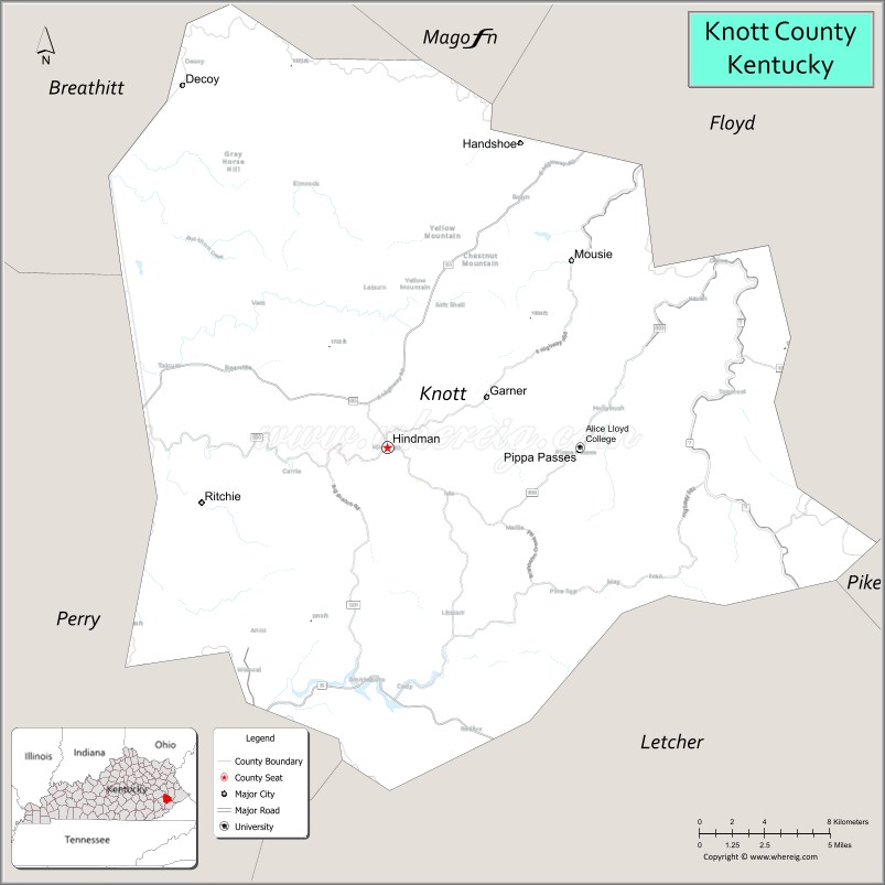
Adjacent counties
- Magoffin County (north)
- Floyd County (northeast)
- Pike County (east)
- Letcher County (south)
- Perry County (southwest)
- Breathitt County (northwest)
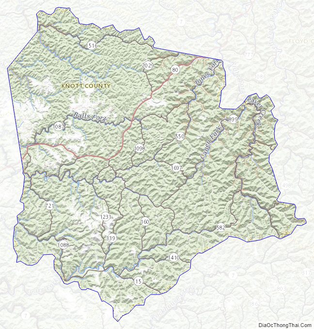
Summits
Big Lovely Mountain, 1,401 feet (427 m)
Knott County Topographic Map
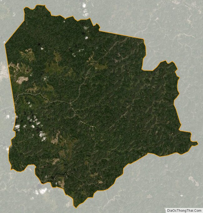
Knott County Satellite Map
Knott County Outline Map