La Plata County is a county located in the U.S. state of Colorado. As of the 2020 census, the population was 55,638. The county seat is Durango. The county was named for the La Plata River and the La Plata Mountains. “La plata” means “the silver” in Spanish.
La Plata County comprises the Durango, CO Micropolitan Statistical Area.
The county is home to Durango Rock Shelters Archeology Site, the type site for the Basketmaker II period of Anasazi culture.
| Name: | La Plata County |
|---|---|
| FIPS code: | 08-067 |
| State: | Colorado |
| Founded: | February 10, 1874 |
| Named for: | Spanish for “the silver” |
| Seat: | Durango |
| Largest city: | Durango |
| Total Area: | 1,700 sq mi (4,000 km²) |
| Land Area: | 1,692 sq mi (4,380 km²) |
| Total Population: | 55,638 |
| Population Density: | 33/sq mi (13/km²) |
| Time zone: | UTC−7 (Mountain) |
| Summer Time Zone (DST): | UTC−6 (MDT) |
| Website: | co.laplata.co.us |
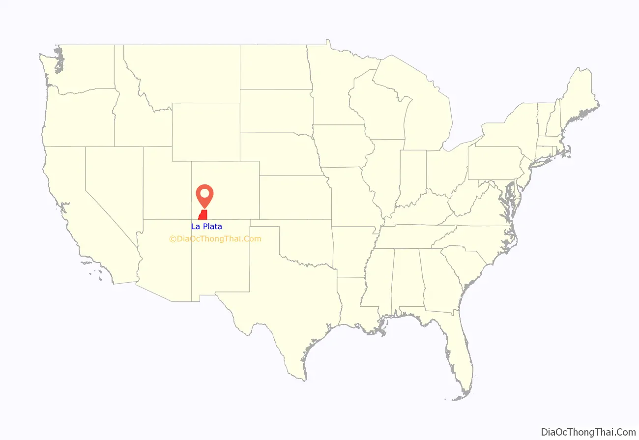
La Plata County location map. Where is La Plata County?
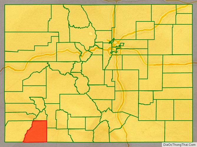
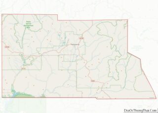
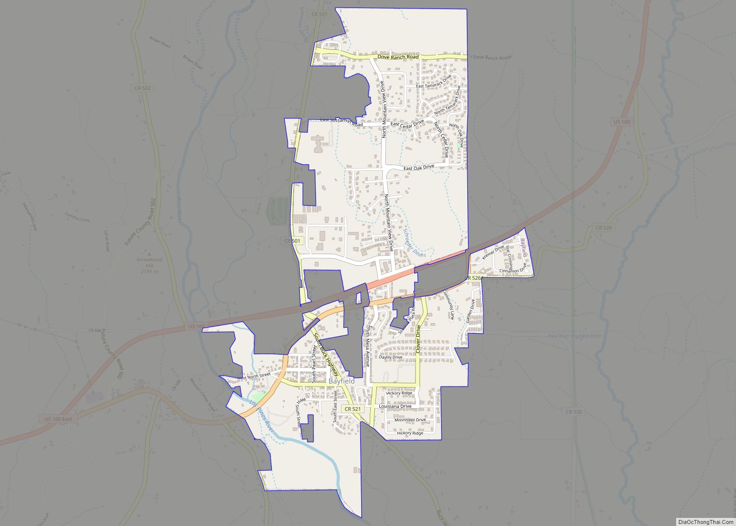
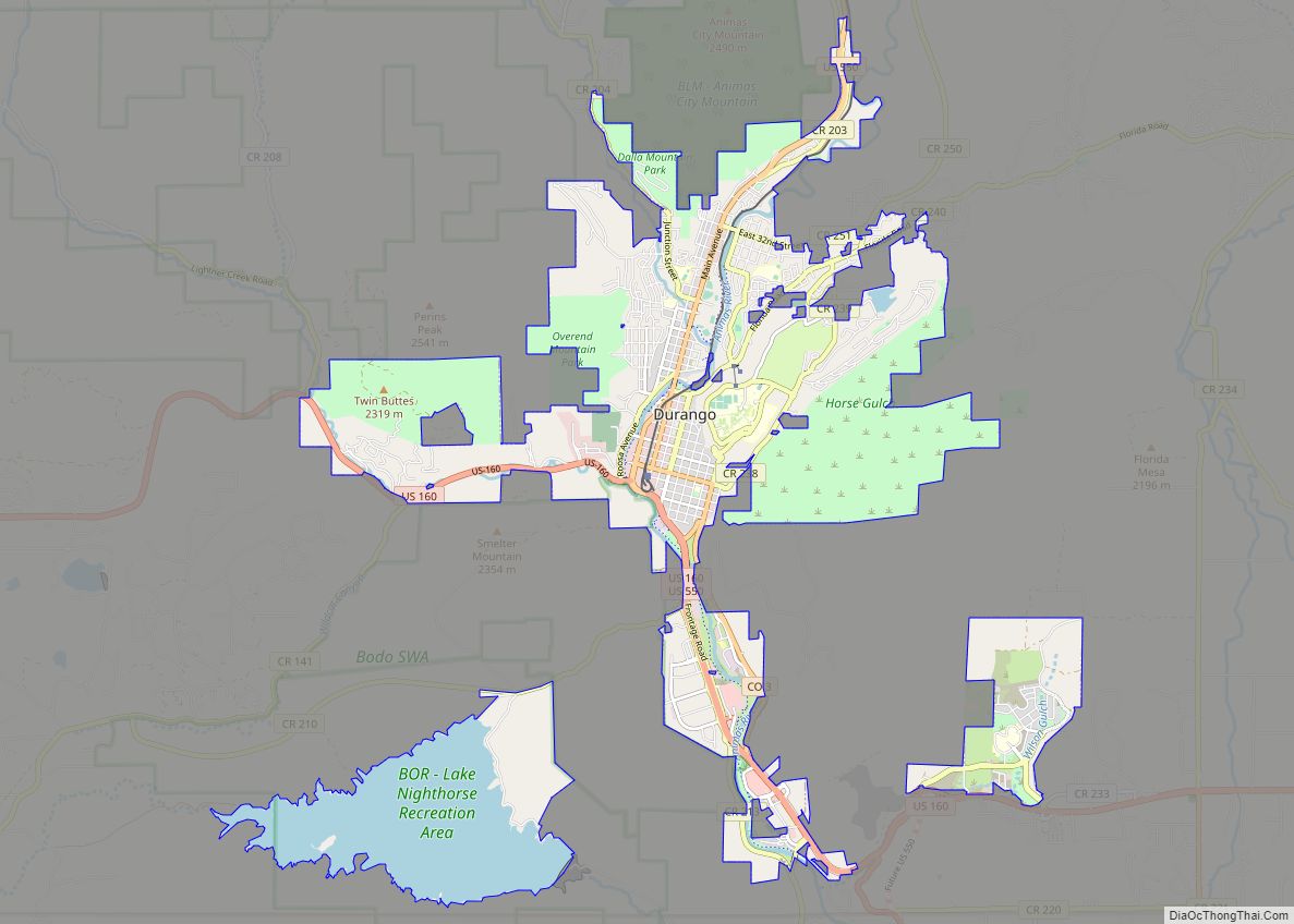
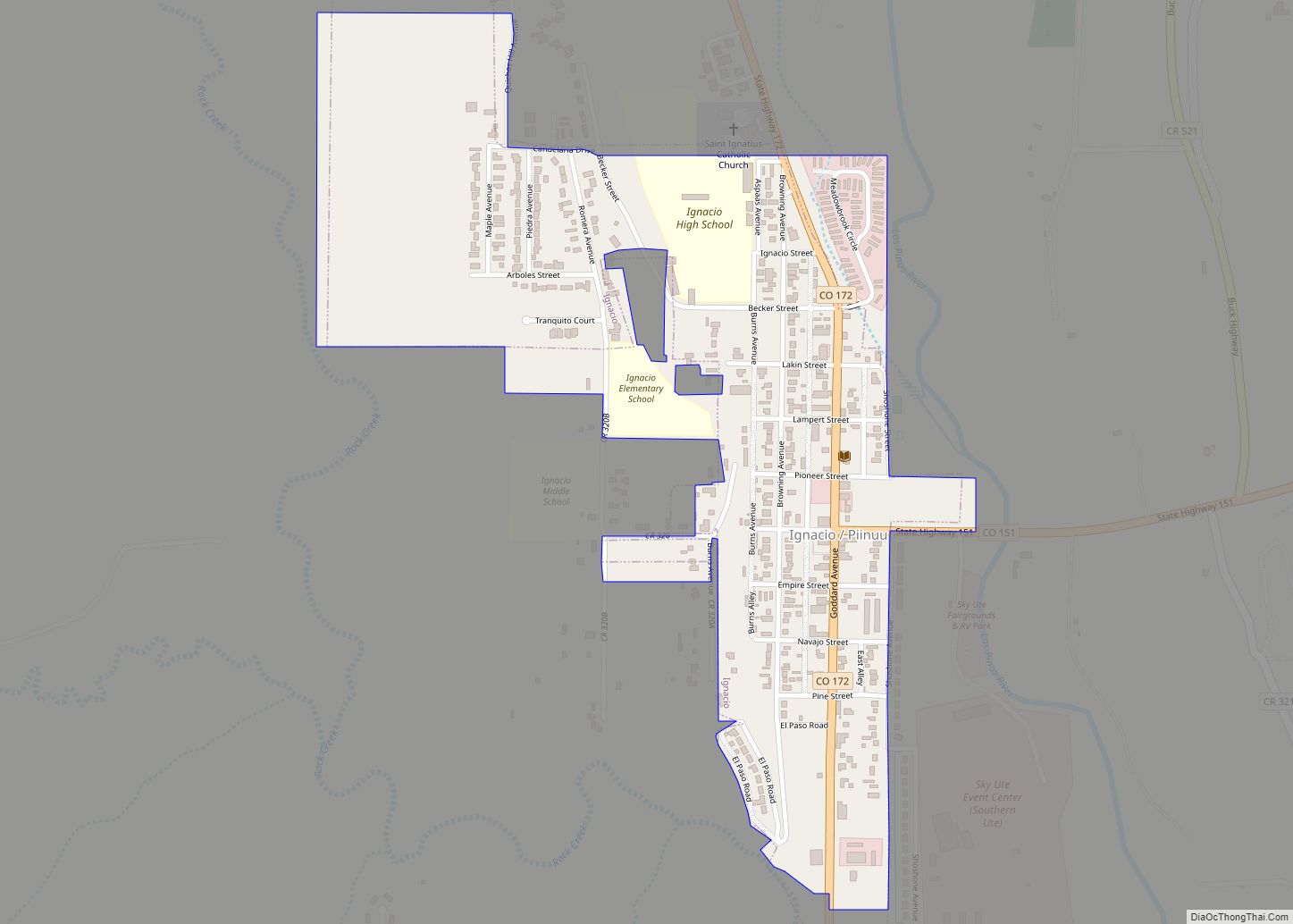
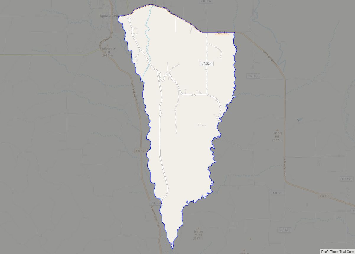
La Plata County Road Map
Geography
According to the U.S. Census Bureau, the county has a total area of 1,700 square miles (4,400 km), of which 1,692 square miles (4,380 km) is land and 7.6 square miles (20 km) (0.4%) is water.
Adjacent counties
- San Juan County – north
- Hinsdale County – northeast
- Archuleta County – east
- San Juan County, New Mexico – south
- Montezuma County – west
- Dolores County – northwest
Major Highways
- U.S. Highway 160
- U.S. Highway 550
- State Highway 140
- State Highway 151
- State Highway 172
