LaMoure County is a county in the U.S. state of North Dakota. As of the 2020 census, the population was 4,093. Its county seat is LaMoure.
| Name: | Lamoure County |
|---|---|
| FIPS code: | 38-045 |
| State: | North Dakota |
| Founded: | 1873 |
| Named for: | Judson LaMoure |
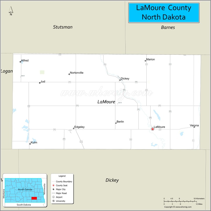
| Seat: | LaMoure |
| Largest city: | LaMoure |
| Total Area: | 1,151 sq mi (2,980 km²) |
| Land Area: | 1,146 sq mi (2,970 km²) |
| Total Population: | 4,093 |
| Population Density: | 3.6/sq mi (1.4/km²) |
| Time zone: | UTC−6 (Central) |
| Summer Time Zone (DST): | UTC−5 (CDT) |
| Website: | www.lamourecountynd.com |
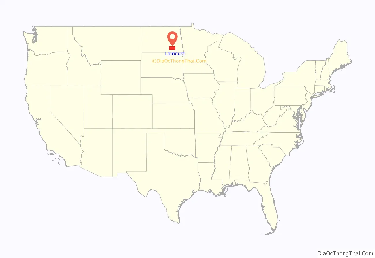
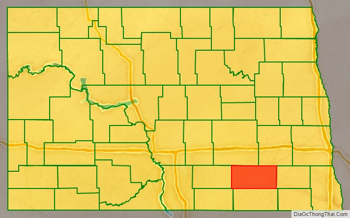
Lamoure County location map. Where is Lamoure County?
History
The Dakota Territory legislature created the county on January 4, 1873, with Grand Rapids as the county seat. However, the county organization was not completed at that time, nor was the county attached to another county for administrative and judicial purposes. It was named for Judson LaMoure, a member of the territorial/state legislature from 1872 to 1918.
The county organization was effected on October 27, 1881. Its boundaries were altered in February 1881 and in March 1883. It has retained its present boundary since that time. The present county seat, LaMoure, was founded in 1882, and the county seat was transferred to that community soon after.
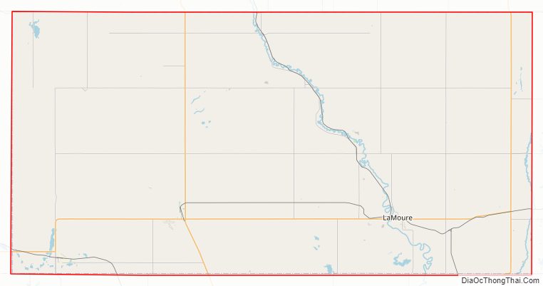
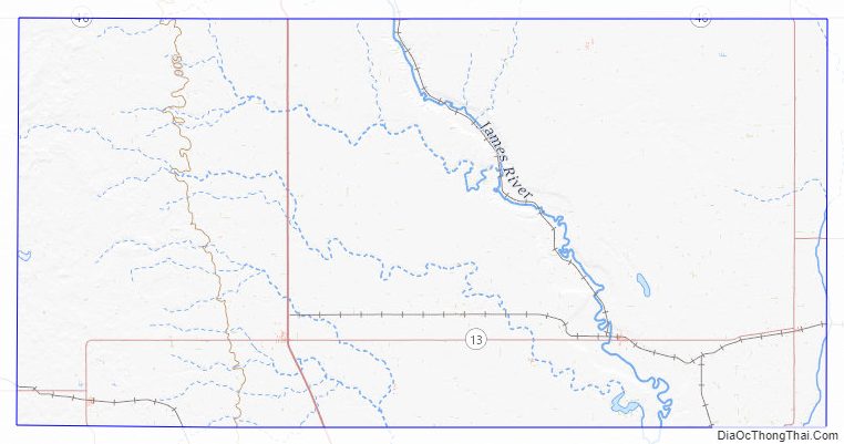
Lamoure County Road Map
Geography
The James River flows southeasterly through the central portion of LaMoure County, and a tributary of the South Branch Maple River flows southerly from the center of the county. The county terrain consists of rolling hills, mostly devoted to agriculture. The terrain slopes to the south and east; its highest point is on its upper west boundary line at 2,047′ (624m) ASL. The county has a total area of 1,151 square miles (2,980 km), of which 1,146 square miles (2,970 km) is land and 4.9 square miles (13 km) (0.4%) is water.
LaMoure County hosts a Navy transmitter, the Naval Radio Transmitter Facility LaMoure.
Major highways
- U.S. Highway 281
- North Dakota Highway 1
- North Dakota Highway 13
- North Dakota Highway 46
- North Dakota Highway 56
Airports
- Kulm Municipal Airport (FAA LID: D03) – public use airport NE of Kulm.
Adjacent counties
- Stutsman County – north
- Barnes County – northeast
- Ransom County – east
- Dickey County – south
- McIntosh County – southwest
- Logan County – west
National protected area
- Bone Hill National Wildlife Refuge
Lakes
- Bone Hill Creek Lake
- Cottonwood Lake
- Lake Lamoure
- Pearl Lake
- Wild Rice Slough
Lamoure County Topographic Map
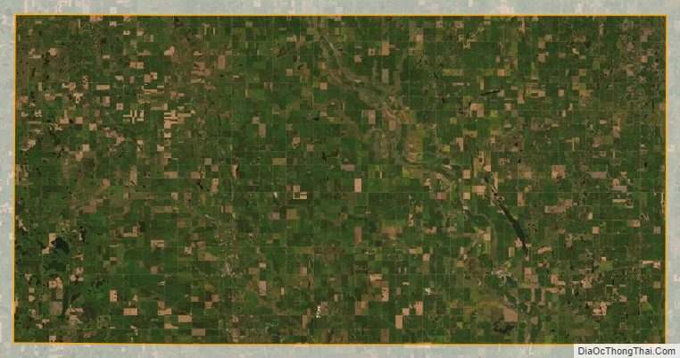
Lamoure County Satellite Map
Lamoure County Outline Map