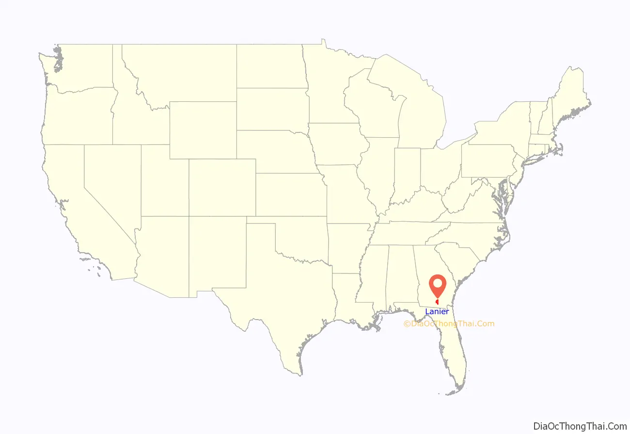
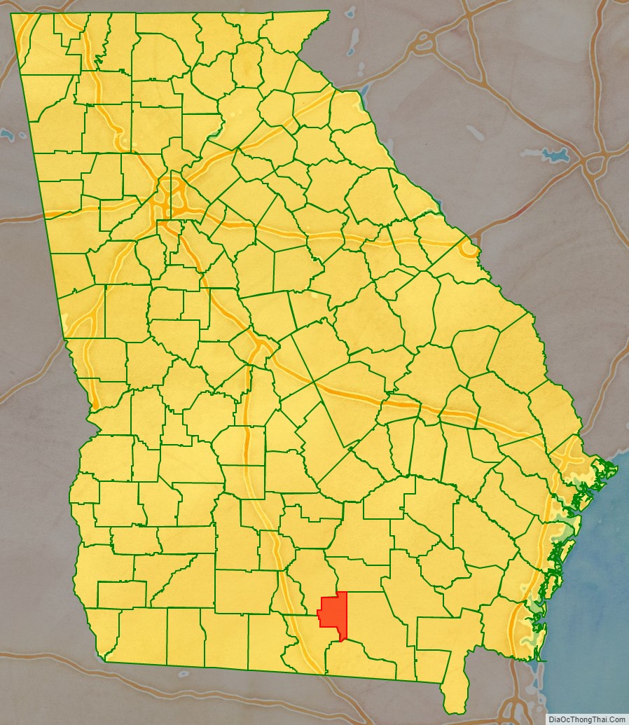
Lanier County is a county in the south central portion of the U.S. state of Georgia. As of the 2020 census, the population was 9,877. The county seat and only incorporated municipality is Lakeland. The county is named after the Georgia poet Sidney Lanier.
Lanier County is part of the Valdosta, GA Metropolitan Statistical Area. Lanier shares Moody Air Force Base with Lowndes County on its western boundary.
| Name: | Lanier County |
|---|---|
| FIPS code: | 13-173 |
| State: | Georgia |
| Founded: | August 7, 1920 |
| Named for: | Sidney Lanier |
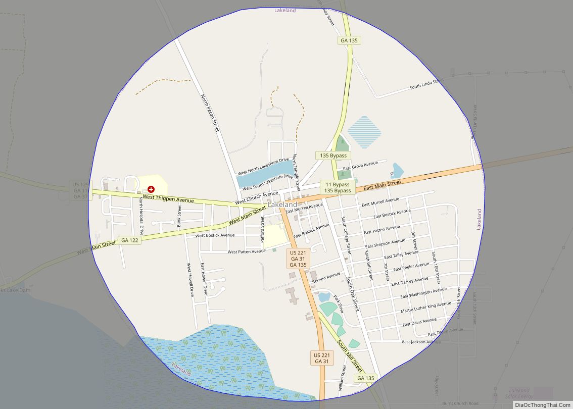
| Seat: | Lakeland |
| Largest city: | Lakeland |
| Total Area: | 200 sq mi (500 km²) |
| Land Area: | 185 sq mi (480 km²) |
| Total Population: | 9,877 |
| Population Density: | 53/sq mi (20/km²) |
| Time zone: | UTC−5 (Eastern) |
| Summer Time Zone (DST): | UTC−4 (EDT) |
| Website: | laniercountyboc.com |
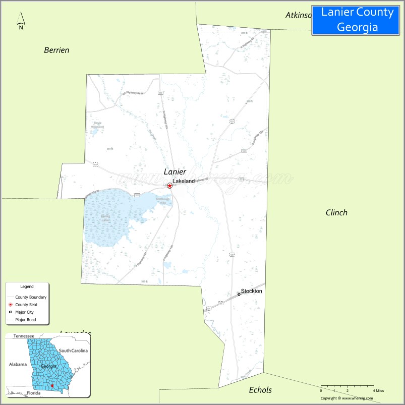
Lanier County location map. Where is Lanier County?
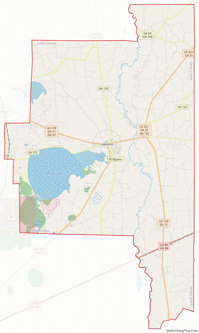
Lanier County Road Map
Geography
According to the U.S. Census Bureau, the county has a area of 200 square miles (520 km), of which 185 square miles (480 km) is land and 15 square miles (39 km) (7.3%) is water.
The vast majority of Lanier County is in the Alapaha River sub-basin of the Suwannee River basin. Just a narrow section of the western border of the county, northeast and southeast of Ray City, is in the Withlacoochee River sub-basin of the same Suwannee River basin, and a very narrow section of the eastern border of Lanier County is in the Upper Suwannee River sub-basin of the same Suwannee River basin.
Major highways
- U.S. Route 84
- U.S. Route 129
- U.S. Route 221
- State Route 11
- State Route 11 Bypass
- State Route 31
- State Route 31 Connector
- State Route 37
- State Route 38
- State Route 64
- State Route 122
- State Route 122 Connector
- State Route 125
- State Route 135
- State Route 135 Bypass
- State Route 168
Major waterways
- Alapaha River
- Banks Lake
Railways
- CSX Transportation
- Atlantic and Gulf Railroad
- Atlantic Coast Line Railroad
- Lakeland Railroad (Defunct, it was used from 1929 to 1957. It ran along the same path as the Milltown Air Line Railroad)
- Milltown Air Line Railroad (Defunct, it was used from 1904 to 1928. It ran from Lakeland to Naylor, Georgia)
- Plant System
- Waycross and Western Railroad (Defunct, it was used from 1912 to 1925 from Waycross, Georgia to Lakeland, Georgia. It roughly followed current Georgia State Route 122)
Adjacent counties
- Berrien County – northwest
- Atkinson County – north
- Clinch County – east
- Echols County – south
- Lowndes County – southwest
National protected area
The Banks Lake National Wildlife Refuge, established in 1985, hosts approximately 20,000 visitors annually. It provides hiking, fishing, and boating opportunities on more than 4,000 acres (16 km) of water, Banks Lake marsh, and swamp. The Robert Simpson III Nature Trail, dedicated in August 2001, is in the Lakeland, Georgia city limits on 75 acres (300,000 m) of pine and hardwood forests. The county is known for its excellent fishing in the Alapaha River, Banks Lake National Wildlife Refuge as well as in its many small lakes.
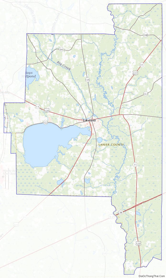
Lanier County Topographic Map
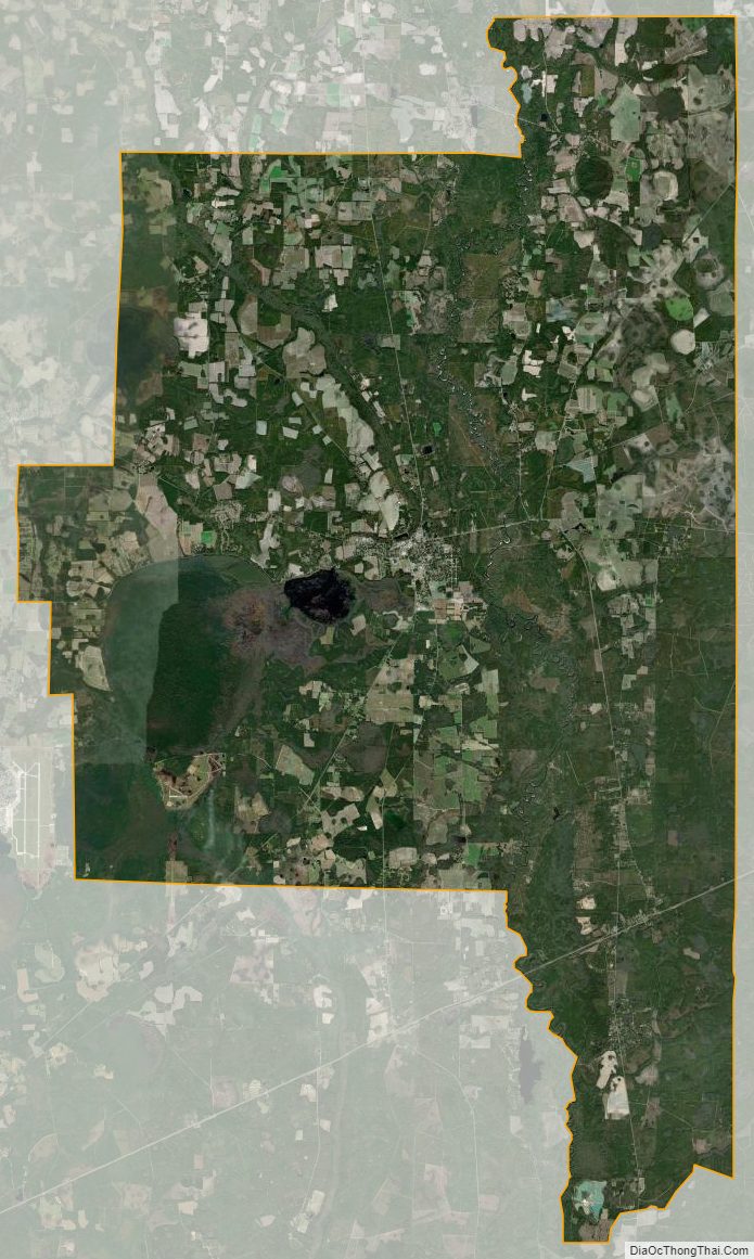
Lanier County Satellite Map
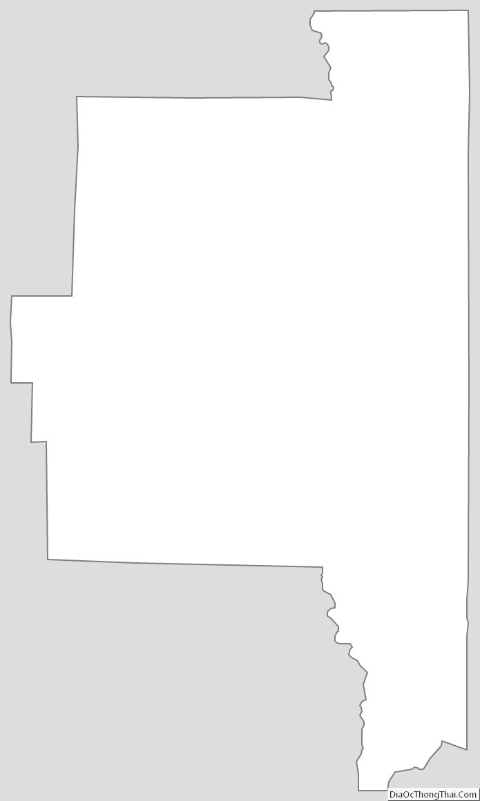
Lanier County Outline Map