Laurel County is a county located in the southeastern portion of the U.S. state of Kentucky. As of the 2020 census, the population was 62,613. Its county seat is London. After a special election in January 2016 alcohol sales are permitted only in the city limits of London. The ordinance went into effect on March 27, 2016, 60 days after results of the election. Laurel County is included in the London, KY Micropolitan Statistical Area.
| Name: | Laurel County |
|---|---|
| FIPS code: | 21-125 |
| State: | Kentucky |
| Founded: | December 21, 1825 |
| Named for: | Mountain laurel trees |
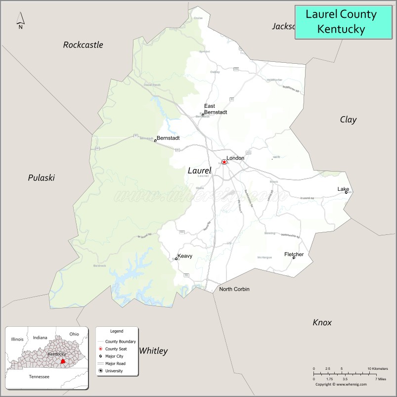
| Seat: | London |
| Largest city: | London |
| Total Area: | 444 sq mi (1,150 km²) |
| Land Area: | 434 sq mi (1,120 km²) |
| Total Population: | 62,613 |
| Population Density: | 140/sq mi (54/km²) |
| Time zone: | UTC−5 (Eastern) |
| Summer Time Zone (DST): | UTC−4 (EDT) |
| Website: | londonky.gov |
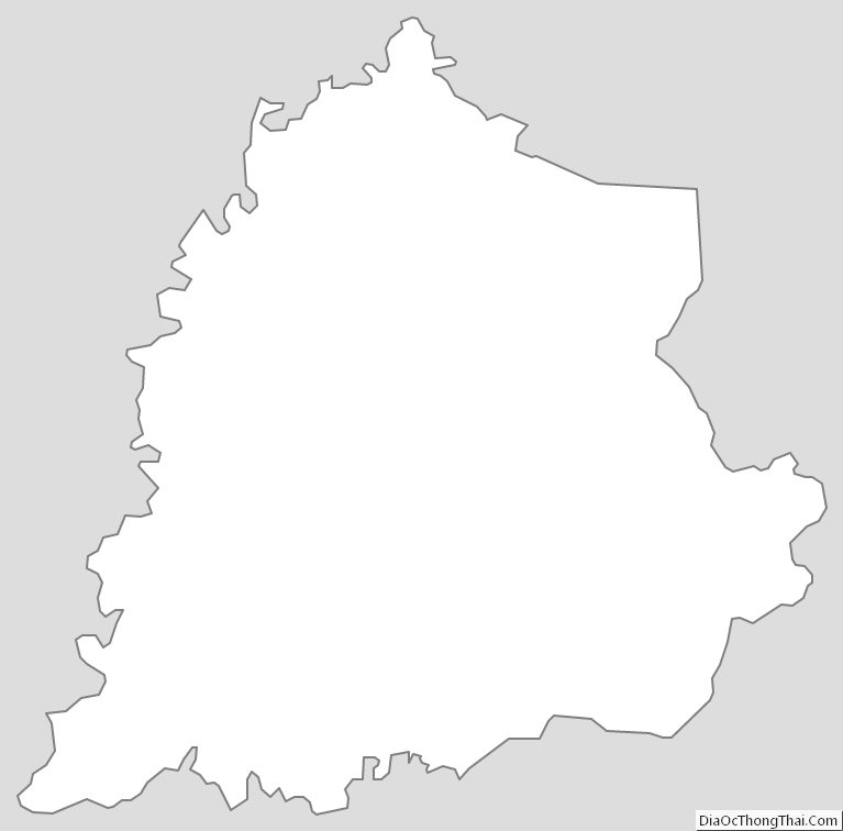
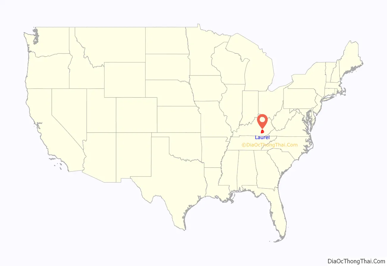
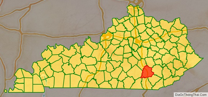
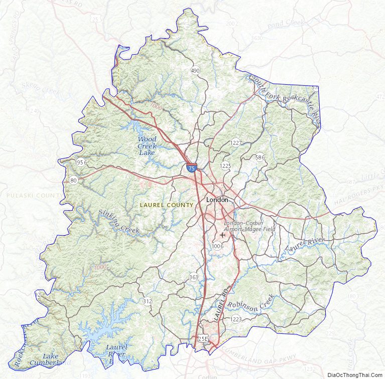
Laurel County location map. Where is Laurel County?
History
Laurel County, the 80th county to be organized in Kentucky, was established by an act of the general assembly, December 21, 1825, from parts of Rockcastle, Clay, Knox and Whitley Counties. Laurel County was named from the Laurel River, noted for dense laurel thickets along its banks.
Laurel County was the location of the Battle of Wildcat Mountain, a pivotal yet little known battle during the American Civil War that kept Confederate armies from advancing on Big Hill, a major stronghold during the war.
After a fire damaged the courthouse in 1958, a new structure was completed in 1961.
The first Kentucky Fried Chicken was started in southern Laurel County by Colonel Harland Sanders just north of Corbin. Nowadays, visitors are welcomed to the original cafe and museum where they can eat at, tour, and learn about the start of the worldwide franchise. Due to the history of chicken in the county, The World Chicken Festival is celebrated every year in London, the county seat, drawing crowds of up to 250,000 people over the four-day festival.
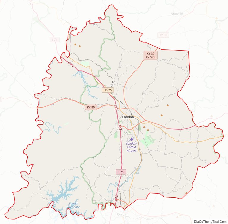
Laurel County Road Map
Geography
According to the United States Census Bureau, the county has a total area of 444 square miles (1,150 km), of which 434 square miles (1,120 km) is land and 9.7 square miles (25 km) (2.2%) is water. Part of Laurel River Lake is in Laurel County.
Adjacent counties
- Jackson County (northeast)
- Clay County (east)
- Knox County (southeast)
- Whitley County (south)
- McCreary County (southwest)
- Pulaski County (west)
- Rockcastle County (northwest)
National protected area
- Daniel Boone National Forest (part)
Laurel County Topographic Map
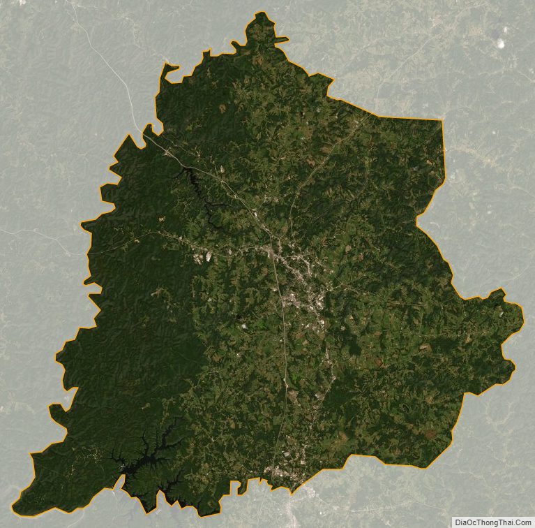
Laurel County Satellite Map
Laurel County Outline Map