| Name: | Little River County |
|---|---|
| FIPS code: | 05-081 |
| State: | Arkansas |
| Founded: | March 5, 1867 |
| Named for: | Little River |
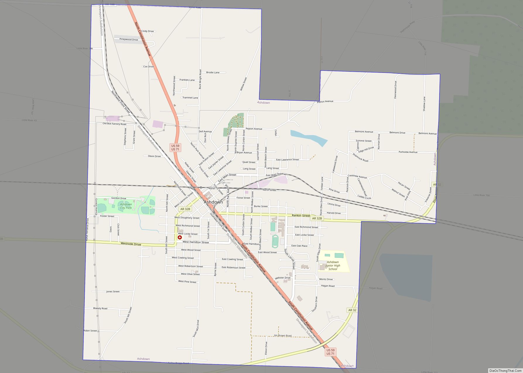
| Seat: | Ashdown |
| Largest city: | Ashdown |
| Total Area: | 565 sq mi (1,460 km²) |
| Land Area: | 532 sq mi (1,380 km²) |
| Total Population: | 12,026 |
| Population Density: | 21/sq mi (8.2/km²) |
| Time zone: | UTC−6 (Central) |
| Summer Time Zone (DST): | UTC−5 (CDT) |
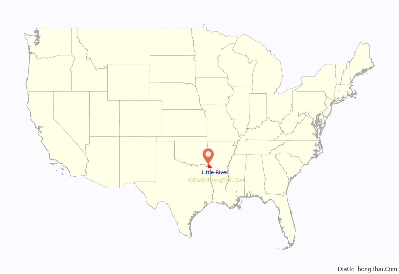
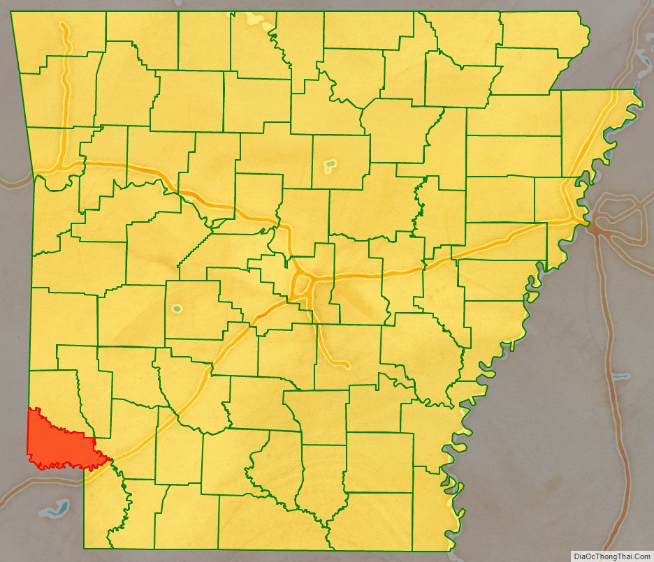
Little River County location map. Where is Little River County?
History
Little River County is Arkansas’s 59th county, formed from Sevier County on March 5, 1867, during the Reconstruction era and named for the Little River. The county is separated from all other surrounding counties in the state by water (a characteristic shared only with neighboring Miller County). The Little River, Millwood Lake and the Red River form the boundaries of the county within the state.
Around 1895 the Arkansas and Choctaw Railway was built between Arkinda and Ashdown. The line was extended from Arkinda into Oklahoma, and from Ashdown to Hope, Arkansas, in the 1902-1903 timeframe. That line is now operated by the Kiamichi Railroad.
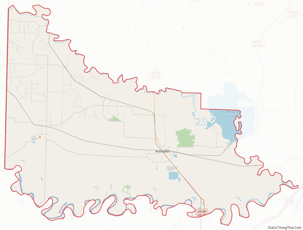
Little River County Road Map
Geography
According to the U.S. Census Bureau, the county has a total area of 565 square miles (1,460 km), of which 532 square miles (1,380 km) is land and 33 square miles (85 km) (5.8%) is water. It is the third-smallest county in Arkansas by land area and fourth-smallest by total area.
Major highways
- Future Interstate 49
- U.S. Highway 59
- U.S. Highway 71
- Highway 32
- Highway 41
- Highway 108
Adjacent counties
- Sevier County (north)
- Howard County (northeast)
- Hempstead County (east)
- Miller County (southeast)
- Bowie County, Texas (south)
- McCurtain County, Oklahoma (west)
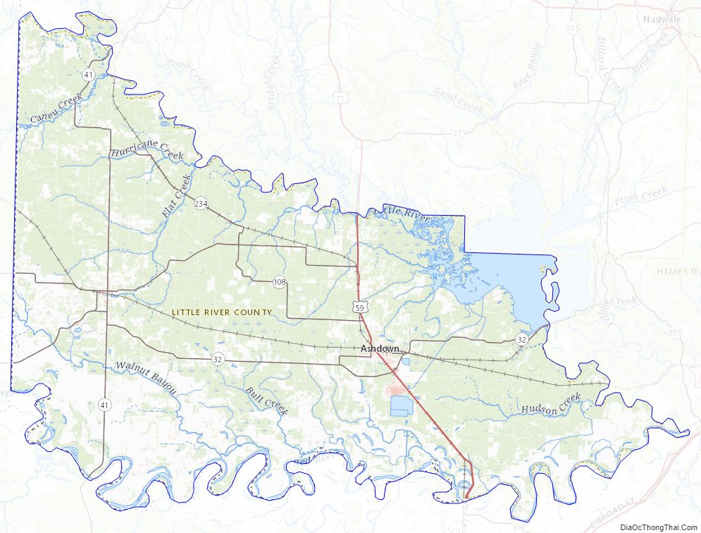
Little River County Topographic Map
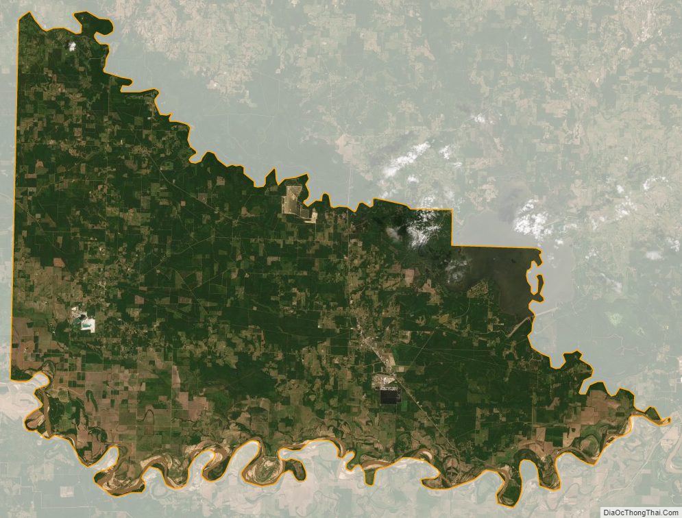
Little River County Satellite Map
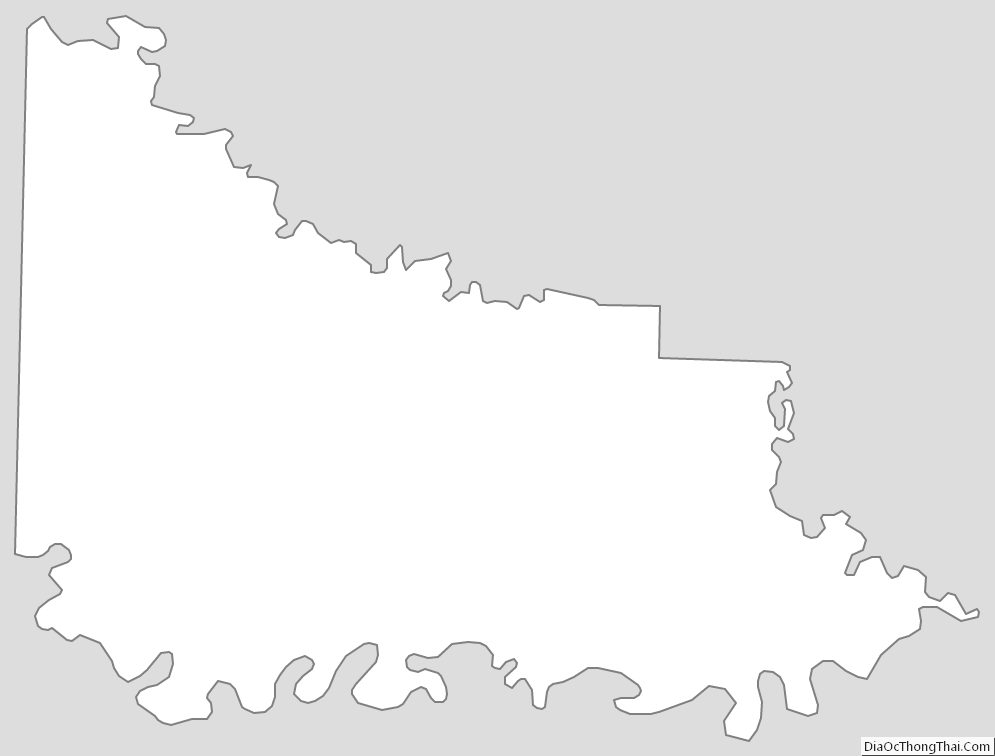
Little River County Outline Map