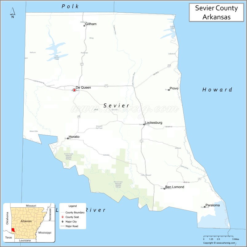
| Name: | Sevier County |
|---|---|
| FIPS code: | 05-133 |
| State: | Arkansas |
| Founded: | October 17, 1828 |
| Named for: | Ambrose Hundley Sevier |
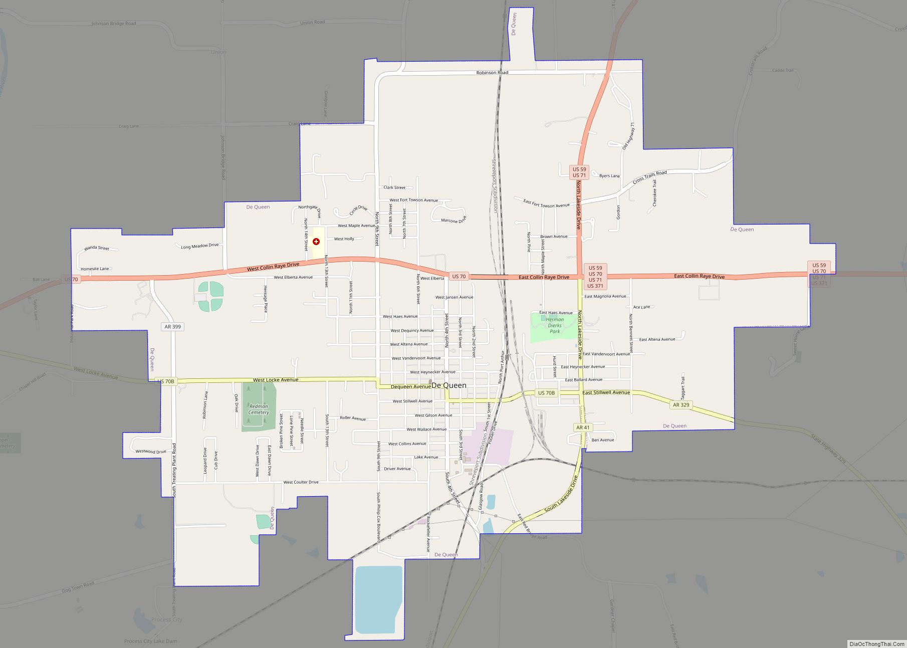
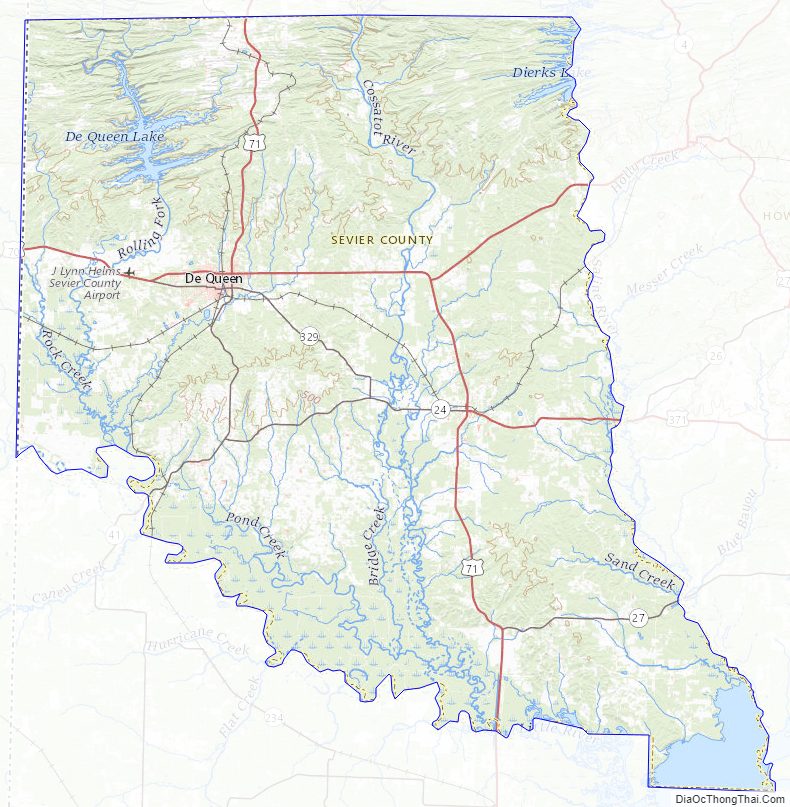
| Seat: | De Queen |
| Largest city: | De Queen |
| Total Area: | 581 sq mi (1,500 km²) |
| Land Area: | 565 sq mi (1,460 km²) |
| Total Population: | 15,839 |
| Population Density: | 27/sq mi (11/km²) |
| Time zone: | UTC−6 (Central) |
| Summer Time Zone (DST): | UTC−5 (CDT) |
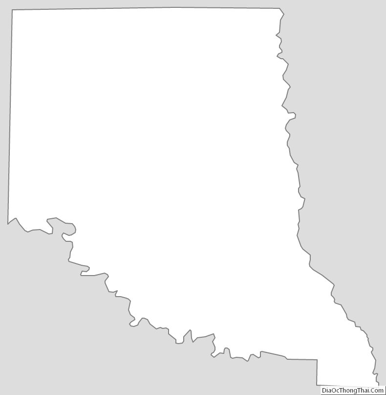
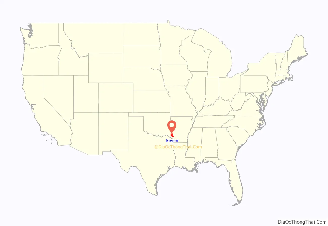
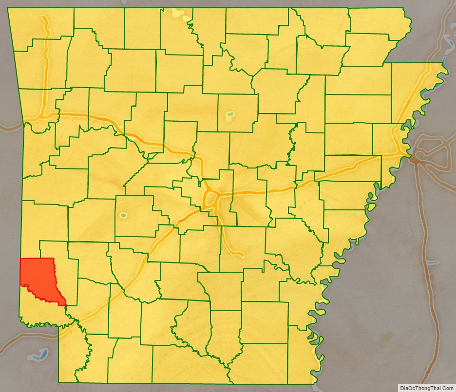
Sevier County location map. Where is Sevier County?
History
Sevier County was organized on October 17, 1828, under legislative authority. It was formed from Hempstead and Miller Counties. Five days later on October 22, 1828, the legislature expanded the county’s border, incorporating more land south of the Red River. Hempstead, Miller and Crawford Counties as well as the Choctaw Nation in Indian Territory bound Sevier County. The establishment of Sevier County became effective on November 1, 1828.
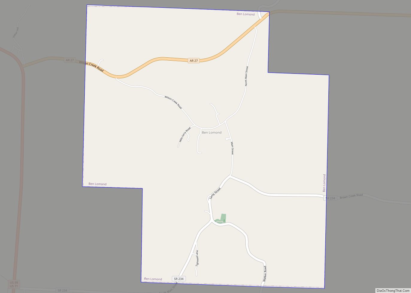
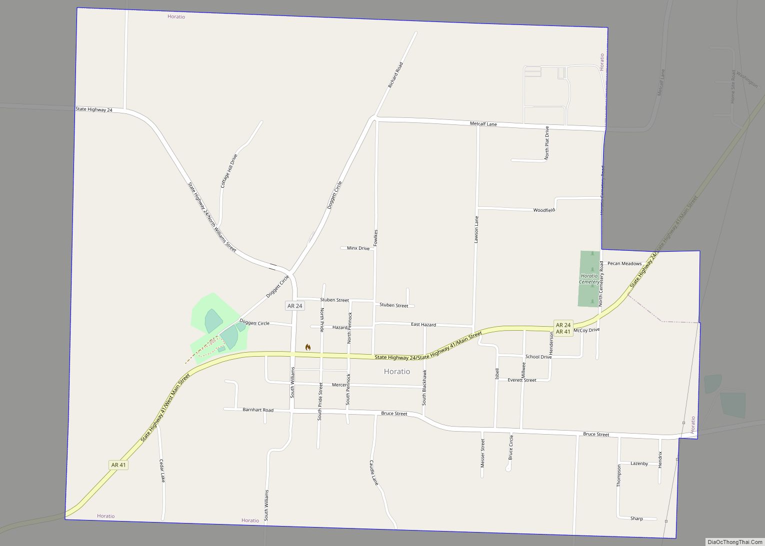
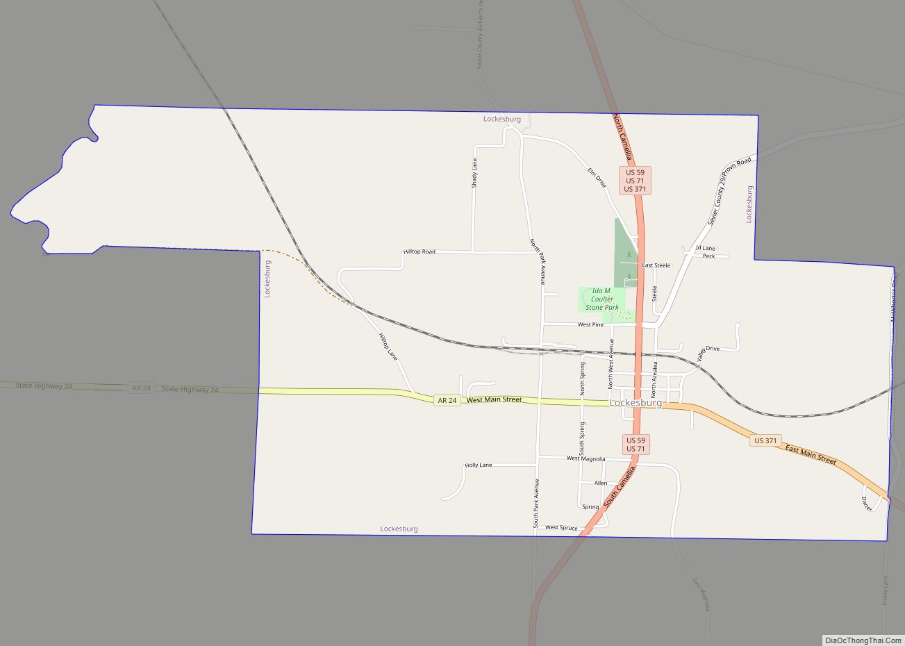
The county seat has undergone several changes since Sevier County was organized. The first county seat was Paraclifta. After an area of Sevier County was carved away to become part of newly created Little River County in 1867, Paraclifta was no longer centrally located. Three members of a local prominent family—James, William, and Matthew Locke—offered 120 acres (0.49 km) of land, and Royal Appleton offered 60 acres (0.24 km) for the site of a new county seat to be named Lockesburg. A petition to establish Lockesburg as the county seat was approved by the county court on January 18, 1869. After a number of local citizens were unwilling to sell land for a route for the Kansas City, Pittsburg, and Gulf Railroad in the late 1890s, the route was laid down through what would become the town of De Queen instead of Lockesburg. In 1905, the county seat was moved to De Queen.
Sevier County Road Map
Geography
According to the U.S. Census Bureau, the county has a total area of 581 square miles (1,500 km), of which 565 square miles (1,460 km) is land and 16 square miles (41 km) (2.8%) is water.
Known as “The Land of Lakes”, “The Land of Fruits and Flowers” and “The Home of Friendly People,” the county has five lakes within a 35-mile (56 km) radius, five rivers and mountain streams and forests.
Notable people
Current or former residents of Sevier County include:
- Collin Raye, country music singer.
- Wes Watkins, U.S.Congressman (Republican- Oklahoma) lived for a time in De Queen as a child.
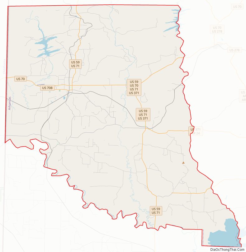
Major highways
- Future Interstate 49
- U.S. Highway 59
- U.S. Highway 70
- U.S. Highway 71
- U.S. Highway 371
- Highway 24
- Highway 27
- Highway 41
Adjacent counties
- Polk County (north)
- Howard County (east)
- Hempstead County (southeast)
- Little River County (south)
- McCurtain County, Oklahoma (west)
National protected area
- Pond Creek National Wildlife Refuge
Sevier County Topographic Map
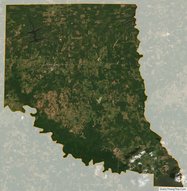
Sevier County Satellite Map
Sevier County Outline Map