Ashdown (formerly Turkey Flats and Keller) is a city in Little River County, Arkansas, United States. The community was incorporated in 1892 and has been the county seat since 1906. Located within the Arkansas Timberlands between the Little River and the Red River, Ashdown’s economy and development have historically been tied to the timber industry. Timber is still a major industry here.
Ashdown’s population at the 2010 census was 4,723, a slight decrease from the 2000 census. The city’s well-preserved history and proximity to outdoor recreation, such as Millwood State Park, draws tourists. Although not within the Texarkana metropolitan area, the city’s proximity to Texarkana has an influence on many areas of life in Ashdown.
| Name: | Ashdown city |
|---|---|
| LSAD Code: | 25 |
| LSAD Description: | city (suffix) |
| State: | Arkansas |
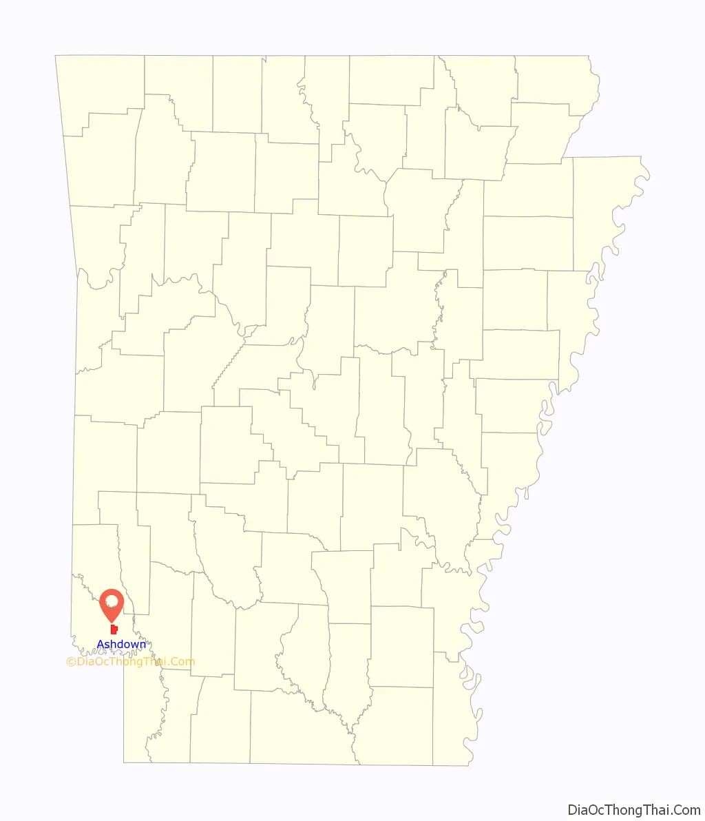
| County: | Little River County |
| Incorporated: | June 11, 1892 |
| Elevation: | 322 ft (98 m) |
| Total Area: | 7.17 sq mi (18.56 km²) |
| Land Area: | 7.14 sq mi (18.49 km²) |
| Water Area: | 0.03 sq mi (0.08 km²) |
| Total Population: | 4,261 |
| Population Density: | 597.03/sq mi (230.51/km²) |
| ZIP code: | 71822 |
| Area code: | 870 |
| FIPS code: | 0502380 |
| GNISfeature ID: | 0076204 |
| Website: | ashdownarkansas.org |
Online Interactive Map
Click on ![]() to view map in "full screen" mode.
to view map in "full screen" mode.
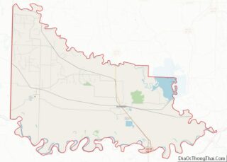
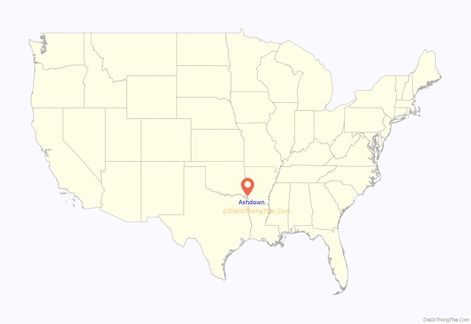
Ashdown location map. Where is Ashdown city?
History
Founded as a small farming community, Ashdown was initially known as Turkey Flats and later Keller before being renamed by Judge Lawrence Alexander Byrne. Following his Keller mill being “burned down to ashes”, Byrne vowed to rebuild and found a town named Ashdown. It was incorporated on June 11, 1892, as Ashdown. Rapid growth began in 1895 following the railroad reaching town. The Arkansas and Choctaw Railroad connected Ashdown to Arkinda. The growth of the Kansas City Southern Railway, the Frisco and the Memphis, Dallas and Gulf Railroad continued to stimulate the city and its timber industry. The railroads could carry more freight more quickly than had the steamboats and flatboats previously used to ship lumber to markets.
Following World War II, Ashdown’s economy began to diversify. Its location near two rivers attracted manufacturing plants, such as Coca-Cola bottling plant, box factory, clothing plant, ice plant and a pallet plant.
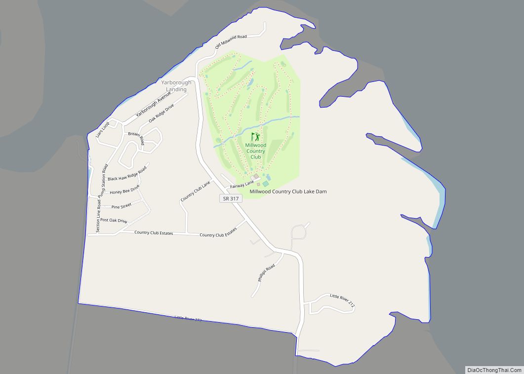
The United States Army Corps of Engineers dammed the Little River and Saline River at their confluence in 1966, forming Millwood Lake. It is used for flood control and recreation. The lake’s recreational value attracted a Nekoosa Paper Company paper mill to the area two years later. It continues to operate today after being purchased by Domtar. The Little River Memorial Hospital was also built during this period of rapid building and development.
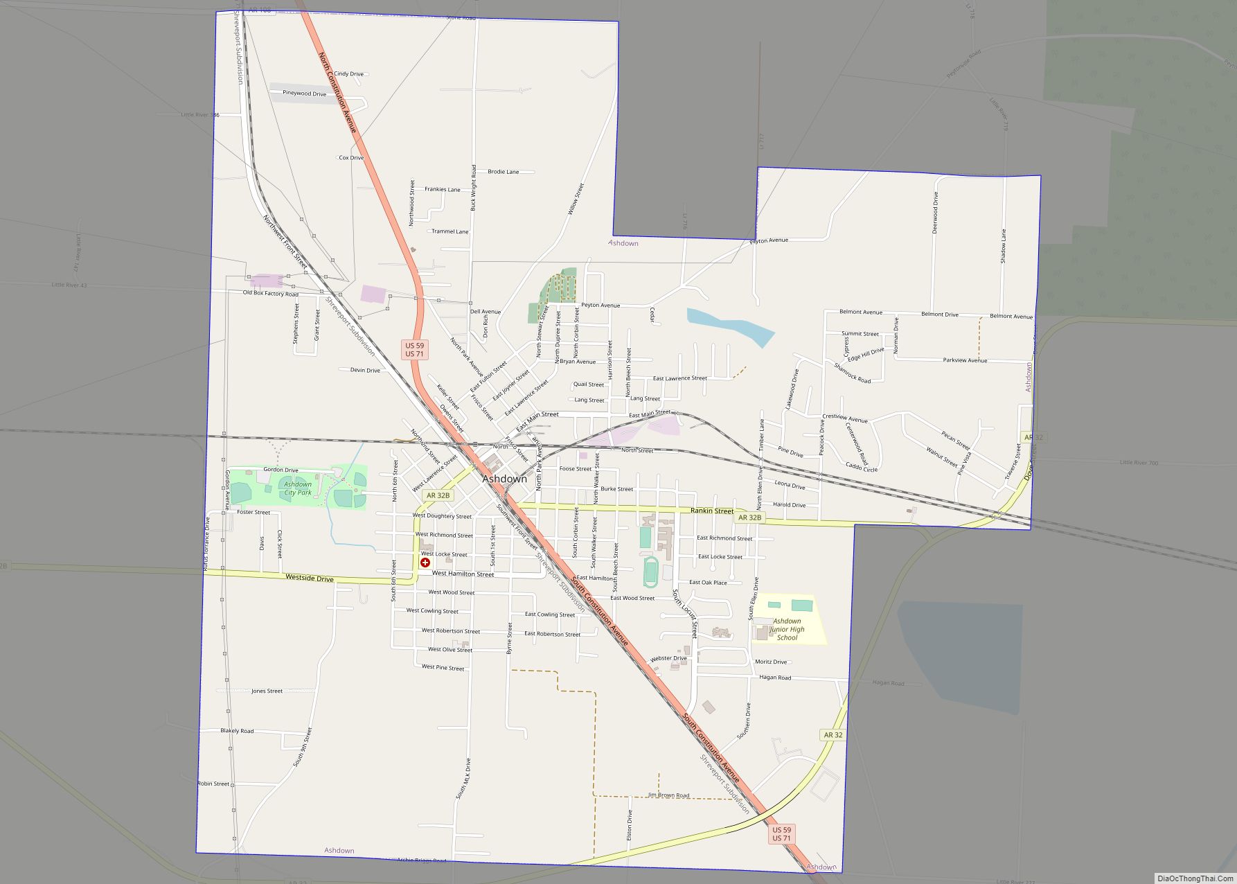
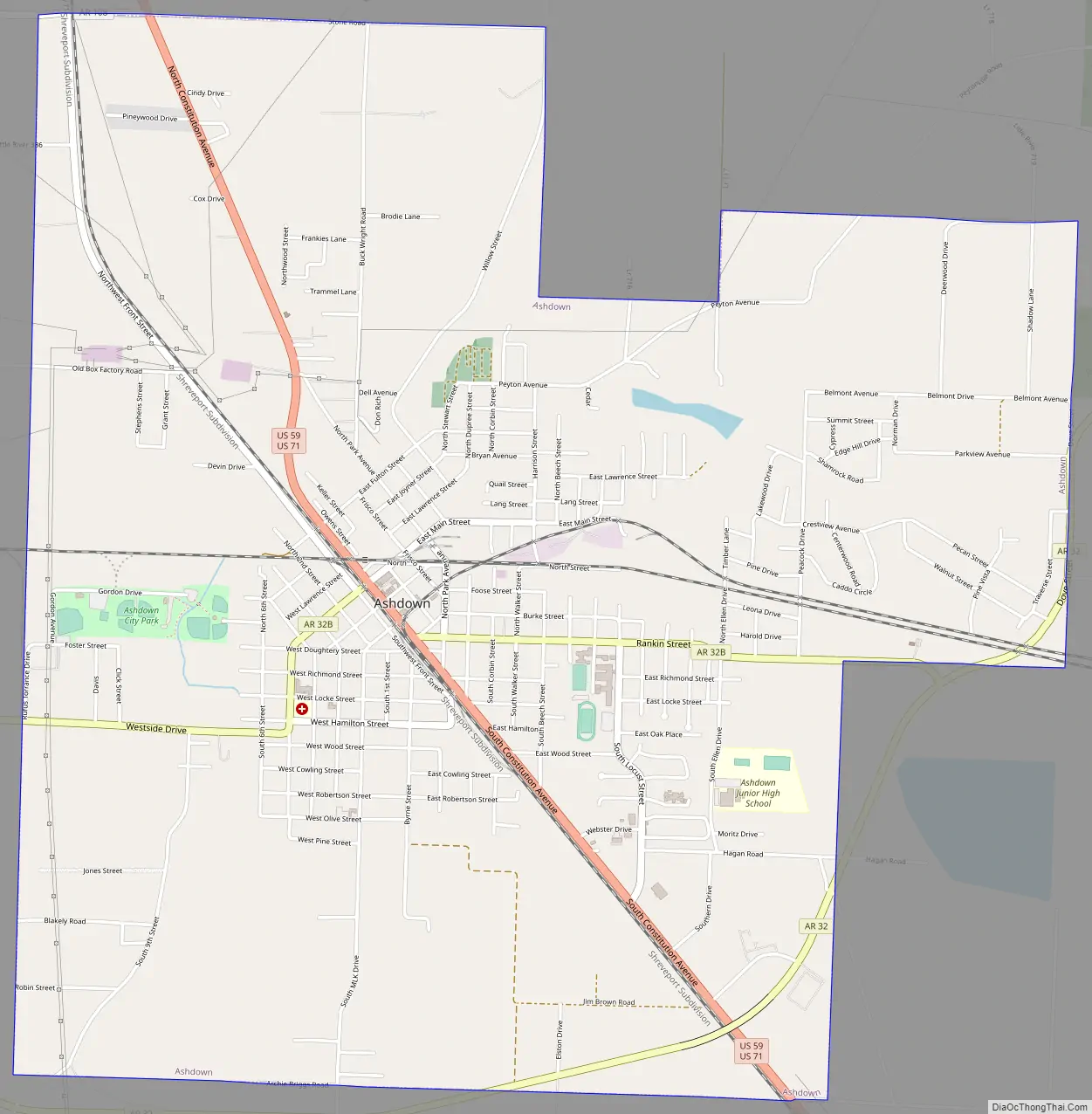
Ashdown Road Map
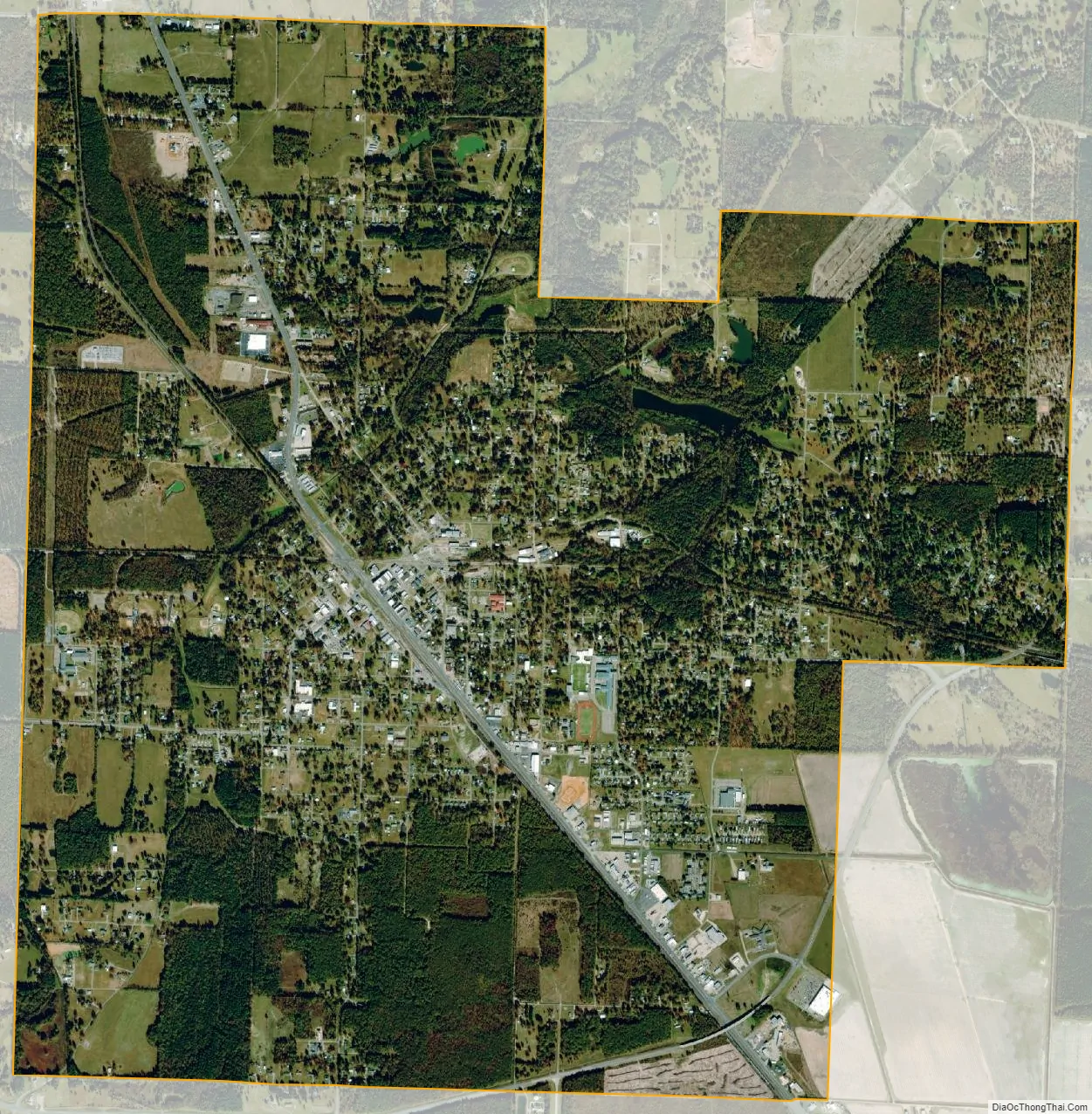
Ashdown city Satellite Map
Geography
According to the United States Census Bureau, the city has a total area of 7.2 square miles (19 km), of which 7.1 square miles (18.4 km) is land and 0.04 square miles (0.10 km) (0.56%) is water. Millwood Lake is located seven miles east of the town.
Climate
According to the Köppen Climate Classification system, Ashdown has a humid subtropical climate, abbreviated “Cfa” on climate maps. The hottest temperature recorded in Ashdown was 113 °F (45.0 °C) on August 4–5, 2011, while the coldest temperature recorded was −10 °F (−23.3 °C) on February 2, 1951.
See also
Map of Arkansas State and its subdivision:- Arkansas
- Ashley
- Baxter
- Benton
- Boone
- Bradley
- Calhoun
- Carroll
- Chicot
- Clark
- Clay
- Cleburne
- Cleveland
- Columbia
- Conway
- Craighead
- Crawford
- Crittenden
- Cross
- Dallas
- Desha
- Drew
- Faulkner
- Franklin
- Fulton
- Garland
- Grant
- Greene
- Hempstead
- Hot Spring
- Howard
- Independence
- Izard
- Jackson
- Jefferson
- Johnson
- Lafayette
- Lawrence
- Lee
- Lincoln
- Little River
- Logan
- Lonoke
- Madison
- Marion
- Miller
- Mississippi
- Monroe
- Montgomery
- Nevada
- Newton
- Ouachita
- Perry
- Phillips
- Pike
- Poinsett
- Polk
- Pope
- Prairie
- Pulaski
- Randolph
- Saint Francis
- Saline
- Scott
- Searcy
- Sebastian
- Sevier
- Sharp
- Stone
- Union
- Van Buren
- Washington
- White
- Woodruff
- Yell
- Alabama
- Alaska
- Arizona
- Arkansas
- California
- Colorado
- Connecticut
- Delaware
- District of Columbia
- Florida
- Georgia
- Hawaii
- Idaho
- Illinois
- Indiana
- Iowa
- Kansas
- Kentucky
- Louisiana
- Maine
- Maryland
- Massachusetts
- Michigan
- Minnesota
- Mississippi
- Missouri
- Montana
- Nebraska
- Nevada
- New Hampshire
- New Jersey
- New Mexico
- New York
- North Carolina
- North Dakota
- Ohio
- Oklahoma
- Oregon
- Pennsylvania
- Rhode Island
- South Carolina
- South Dakota
- Tennessee
- Texas
- Utah
- Vermont
- Virginia
- Washington
- West Virginia
- Wisconsin
- Wyoming