Howard County is a county located in the U.S. state of Arkansas. As of the 2020 census, the population was 12,785. The county seat is Nashville. Howard County is Arkansas’s 74th county, formed on April 17, 1873, and named for James Howard, a state senator. It is a dry county.
| Name: | Howard County |
|---|---|
| FIPS code: | 05-061 |
| State: | Arkansas |
| Founded: | April 17, 1873 |
| Seat: | Nashville |
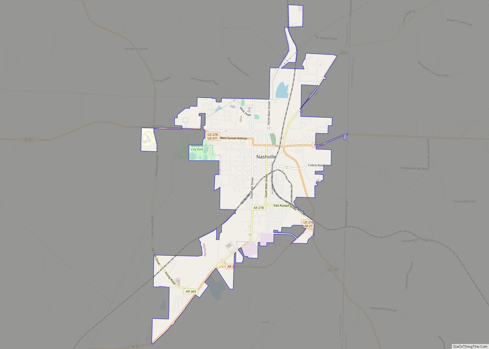
| Largest city: | Nashville |
| Total Area: | 595 sq mi (1,540 km²) |
| Land Area: | 589 sq mi (1,530 km²) |
| Total Population: | 12,785 |
| Population Density: | 21/sq mi (8.3/km²) |
| Time zone: | UTC−6 (Central) |
| Summer Time Zone (DST): | UTC−5 (CDT) |
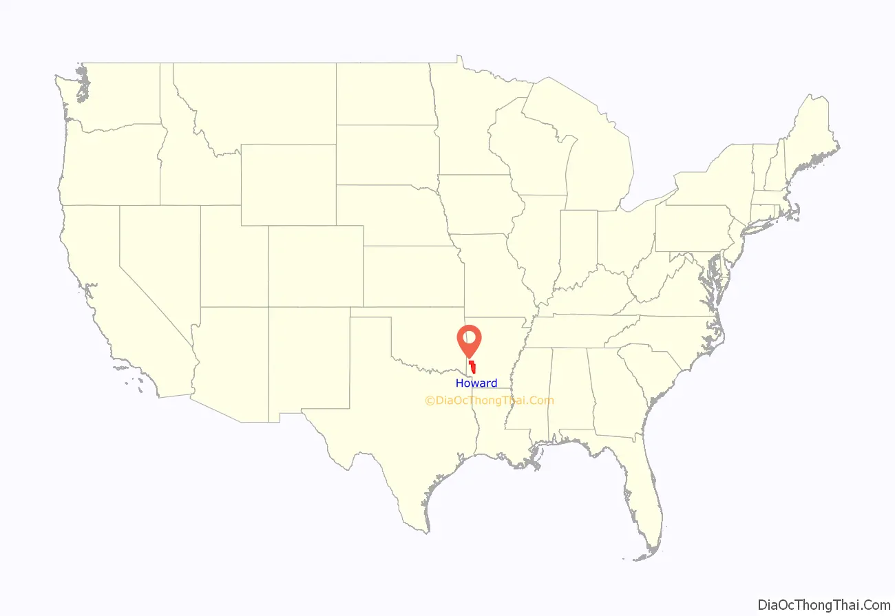
Howard County location map. Where is Howard County?

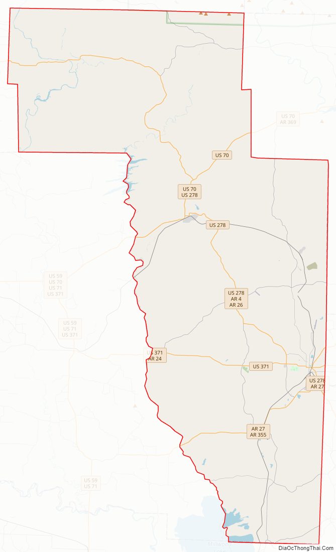
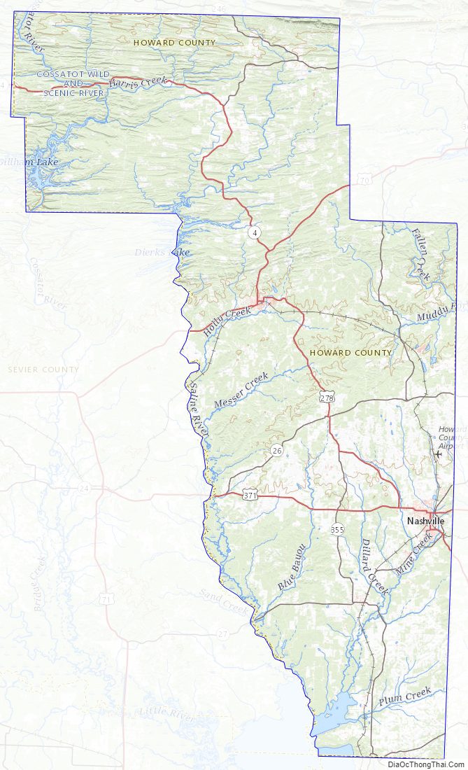
Howard County Road Map
Geography
According to the U.S. Census Bureau, the county has a total area of 595 square miles (1,540 km), of which 589 square miles (1,530 km) is land and 6.8 square miles (18 km) (1.1%) is water.
Major highways
- U.S. Highway 70
- U.S. Highway 278
- U.S. Highway 371
- Highway 26
- Highway 27
- Highway 84
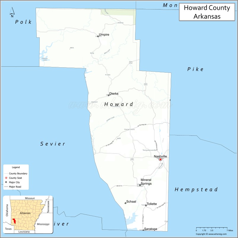
Adjacent counties
- Polk County (north)
- Pike County (east)
- Hempstead County (southeast)
- Little River County (southwest)
- Sevier County (west)
National protected area
- Ouachita National Forest (part)
Howard County Topographic Map
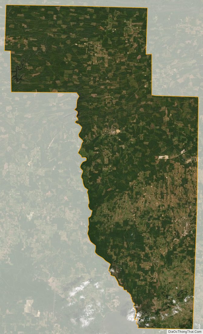
Howard County Satellite Map
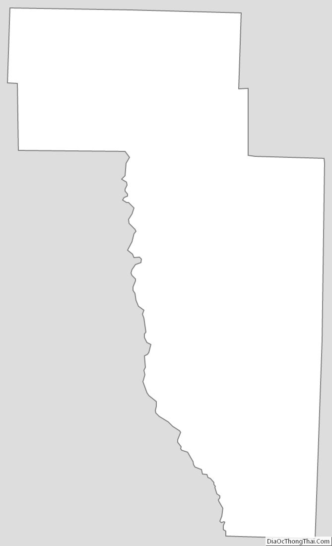
Howard County Outline Map