| Name: | Marathon County |
|---|---|
| FIPS code: | 55-073 |
| State: | Wisconsin |
| Founded: | 1850 |
| Named for: | Marathon, Greece |
| Seat: | Wausau |
| Largest city: | Wausau |
| Total Area: | 1,576 sq mi (4,080 km²) |
| Land Area: | 1,545 sq mi (4,000 km²) |
| Total Population: | 138,013 |
| Population Density: | 89.3/sq mi (34.5/km²) |
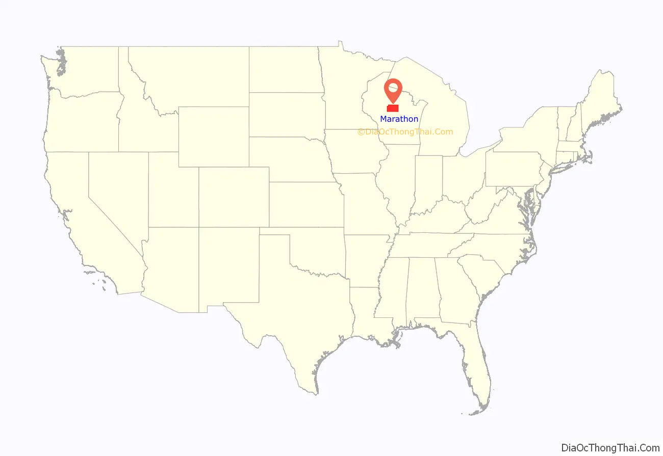
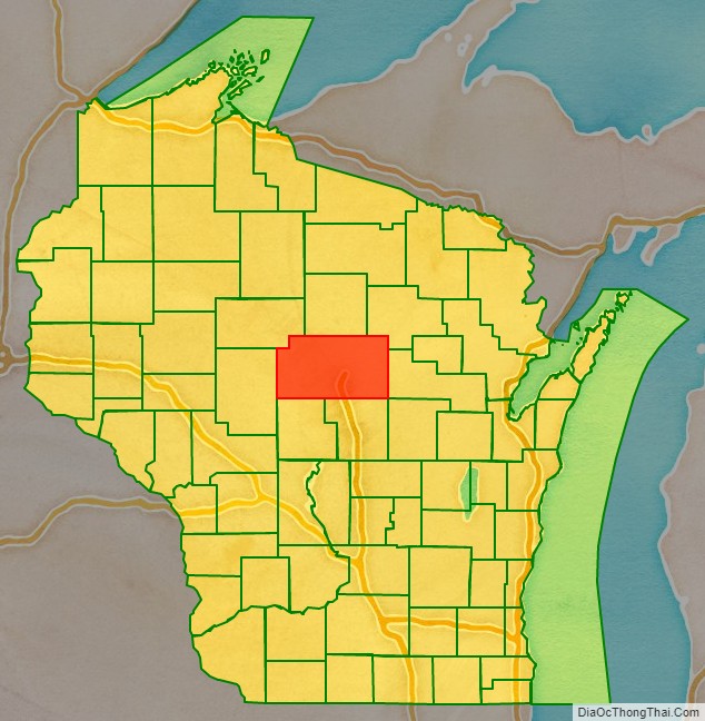
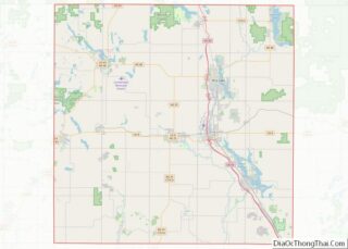
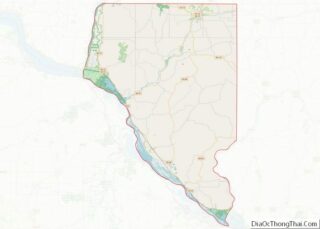
Marathon County location map. Where is Marathon County?
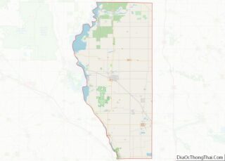
Marathon County Road Map
Geography
According to the U.S. Census Bureau, the county has a total area of 1,576 square miles (4,080 km), of which 1,545 square miles (4,000 km) is land and 31 square miles (80 km) (2.0%) is water. It is the largest county in Wisconsin by land area and fourth-largest by total area.
The Marathon County Park Commission has posted a geographical marker that identifies the spot (45°N, 90°W) of the exact center of the northern half of the Western Hemisphere, meaning that it is a quarter of the way around the world from the Prime Meridian and halfway from the Equator to the North Pole.
Major highways
- Interstate 39
- US Highway 51
- Wisconsin Highway 13
- Wisconsin Highway 29
- Wisconsin Highway 34
- Wisconsin Highway 49
- Wisconsin Highway 52
- Wisconsin Highway 97
- Wisconsin Highway 107
- Wisconsin Highway 153
Railroads
- Canadian National
- Watco
Buses
- Metro Ride
- List of intercity bus stops in Wisconsin
Airports
- KAUW – Wausau Downtown Airport
- KCWA – Central Wisconsin Airport
Adjacent counties
- Lincoln County – north
- Langlade County – northeast
- Shawano County – east
- Waupaca County – southeast
- Portage County – south
- Wood County – south
- Clark County – west
- Taylor County – northwest
Natural wildlife refuges
- Mead Wildlife Area
