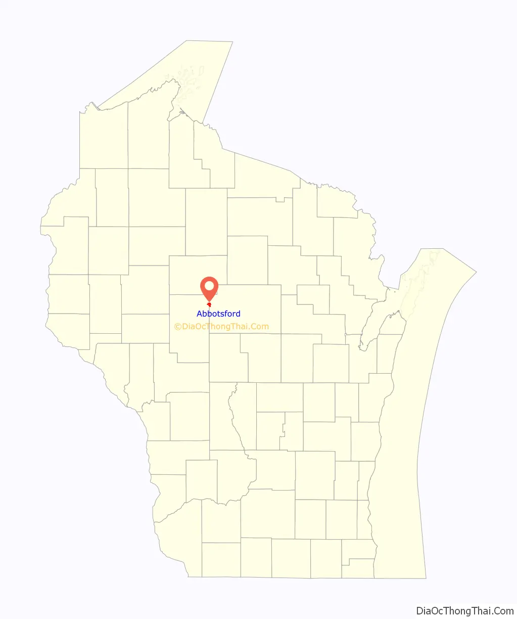
Abbotsford is a city in Clark (mostly) and Marathon counties in the U.S. state of Wisconsin. The population was 2,275 at the 2020 census. Of this, 1,665 were in Clark County, and 610 were in Marathon County. Abbotsford is nicknamed “Wisconsin’s First City” due to its alphabetical place on a list of Wisconsin cities.
| Name: | Abbotsford city |
|---|---|
| LSAD Code: | 25 |
| LSAD Description: | city (suffix) |
| State: | Wisconsin |
| County: | Clark County, Marathon County |
| Elevation: | 1,407 ft (429 m) |
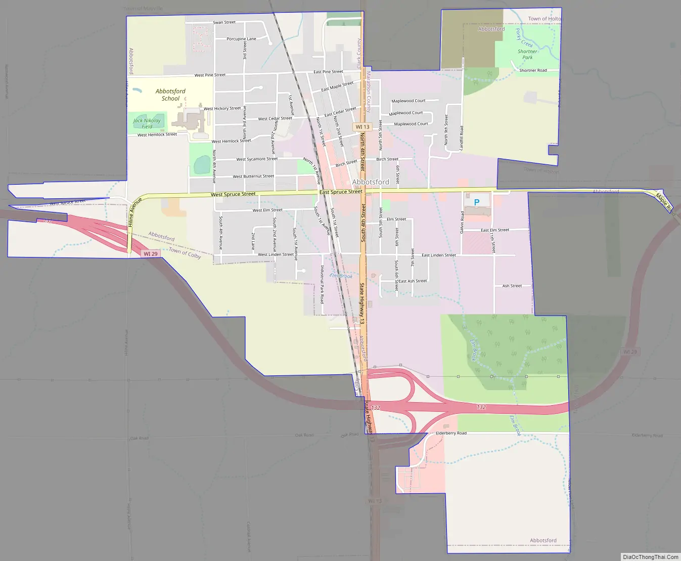
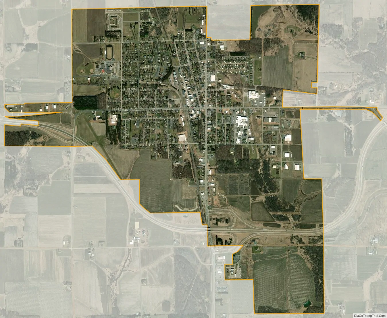
| Total Area: | 3.03 sq mi (7.86 km²) |
| Land Area: | 3.03 sq mi (7.86 km²) |
| Water Area: | 0.00 sq mi (0.00 km²) |
| Total Population: | 2,275 |
| FIPS code: | 5500100 |
| GNISfeature ID: | 1560663 |
| Website: | ci.abbotsford.wi.us |
Online Interactive Map
Click on ![]() to view map in "full screen" mode.
to view map in "full screen" mode.
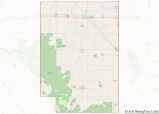
Abbotsford location map. Where is Abbotsford city?

History
In 1872, the Wisconsin Central Railroad cleared its right of way through the forest which would become Abbotsford, heading north for Ashland. Rails were built through the town site in 1874. In 1879 the directors of the Wisconsin Central decided to build west from Colby to Chippewa Falls, to connect there with the Chippewa Falls & Western and ultimately St. Paul. However, they found that Colby Hill was not a good site for a junction and rail yard, so they instead planned the east–west line 2.5 miles north of Colby. The place was called Colby Junction from 1879 to 1880, then renamed for Edwin H. Abbott of the Wisconsin Central.
Abbotsford incorporated as a village in 1894. The village incorporated as a city in 1965.
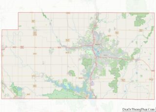
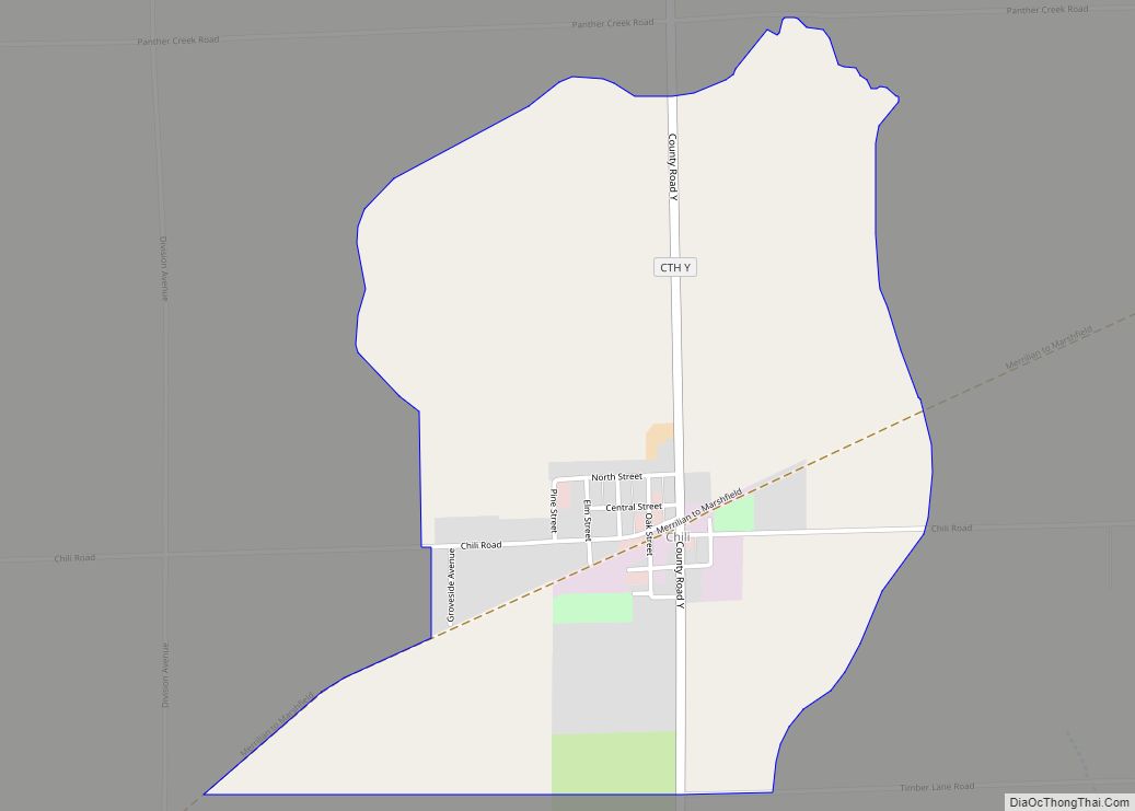
Abbotsford Road Map
Abbotsford city Satellite Map
Geography
Abbotsford is located at 44°56′48″N 90°19′6″W / 44.94667°N 90.31833°W / 44.94667; -90.31833 (44.946716, -90.318333).
According to the United States Census Bureau, the city has a total area of 2.71 square miles (7.02 km), all of it land.
See also
Map of Wisconsin State and its subdivision:- Adams
- Ashland
- Barron
- Bayfield
- Brown
- Buffalo
- Burnett
- Calumet
- Chippewa
- Clark
- Columbia
- Crawford
- Dane
- Dodge
- Door
- Douglas
- Dunn
- Eau Claire
- Florence
- Fond du Lac
- Forest
- Grant
- Green
- Green Lake
- Iowa
- Iron
- Jackson
- Jefferson
- Juneau
- Kenosha
- Kewaunee
- La Crosse
- Lafayette
- Lake Michigan
- Lake Superior
- Langlade
- Lincoln
- Manitowoc
- Marathon
- Marinette
- Marquette
- Menominee
- Milwaukee
- Monroe
- Oconto
- Oneida
- Outagamie
- Ozaukee
- Pepin
- Pierce
- Polk
- Portage
- Price
- Racine
- Richland
- Rock
- Rusk
- Saint Croix
- Sauk
- Sawyer
- Shawano
- Sheboygan
- Taylor
- Trempealeau
- Vernon
- Vilas
- Walworth
- Washburn
- Washington
- Waukesha
- Waupaca
- Waushara
- Winnebago
- Wood
- Alabama
- Alaska
- Arizona
- Arkansas
- California
- Colorado
- Connecticut
- Delaware
- District of Columbia
- Florida
- Georgia
- Hawaii
- Idaho
- Illinois
- Indiana
- Iowa
- Kansas
- Kentucky
- Louisiana
- Maine
- Maryland
- Massachusetts
- Michigan
- Minnesota
- Mississippi
- Missouri
- Montana
- Nebraska
- Nevada
- New Hampshire
- New Jersey
- New Mexico
- New York
- North Carolina
- North Dakota
- Ohio
- Oklahoma
- Oregon
- Pennsylvania
- Rhode Island
- South Carolina
- South Dakota
- Tennessee
- Texas
- Utah
- Vermont
- Virginia
- Washington
- West Virginia
- Wisconsin
- Wyoming