Colby is a city in Clark and Marathon counties in the U.S. state of Wisconsin. It is part of the Wausau, Wisconsin Metropolitan Statistical Area. The population was 1,852 at the 2010 census. Of this, 1,354 were in Clark County, and 498 were in Marathon County. The city is bordered by the Town of Colby, the Town of Hull, and the City of Abbotsford. Colby cheese was first created in Colby.
| Name: | Colby city |
|---|---|
| LSAD Code: | 25 |
| LSAD Description: | city (suffix) |
| State: | Wisconsin |
| County: | Clark County, Marathon County |
| Elevation: | 1,352 ft (412 m) |
| Total Area: | 1.64 sq mi (4.26 km²) |
| Land Area: | 1.64 sq mi (4.25 km²) |
| Water Area: | 0.01 sq mi (0.01 km²) |
| Total Population: | 1,852 |
| Population Density: | 1,188.41/sq mi (458.98/km²) |
| Area code: | 715 |
| FIPS code: | 5516150 |
| GNISfeature ID: | 1563232 |
| Website: | www.ci.colby.wi.us |
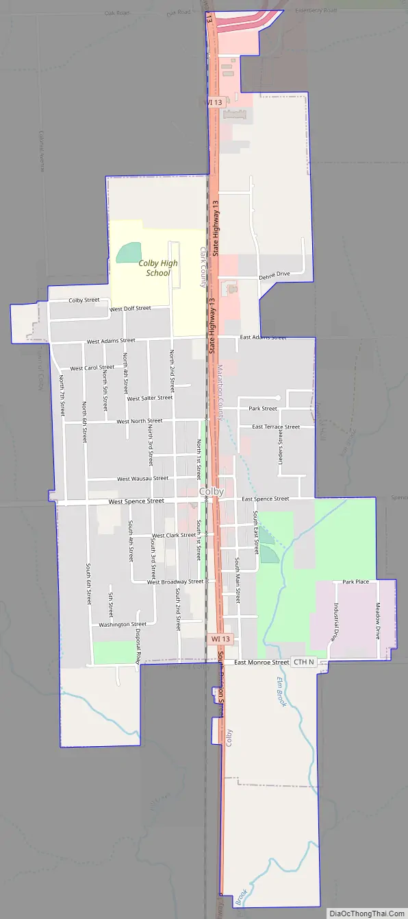
Online Interactive Map
Click on ![]() to view map in "full screen" mode.
to view map in "full screen" mode.
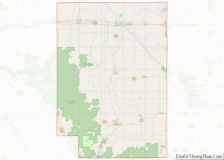
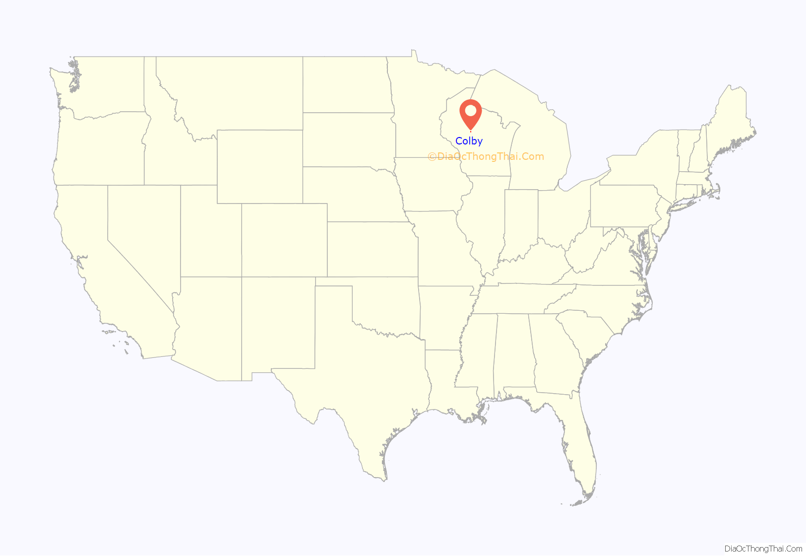
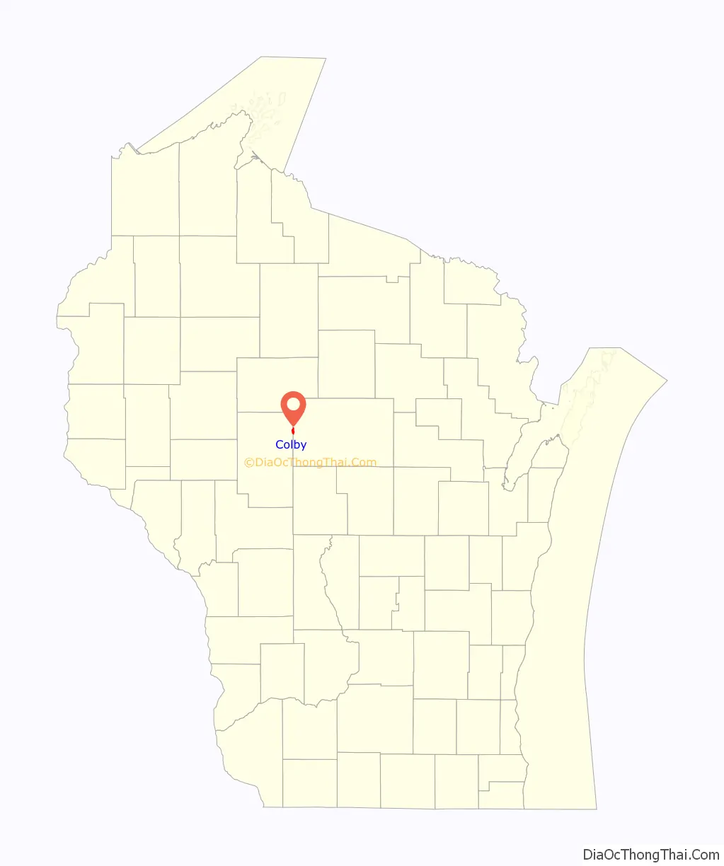
Colby location map. Where is Colby city?
History
When the Wisconsin Central Railroad was building its line through the wilderness heading toward Lake Superior, it finished its 1872 construction season with rails completed to the site of today’s Colby. The place was initially called “Section 53,” but the railroad renamed the station in honor of Charles L. Colby, partner in the construction company that was building the railroad, and the son of the railroad’s financier Gardner L. Colby.
As early as 1962, the area was home to Colby-Abbotsford Airport, a private facility with a 2600ft runway running northeast–southwest and the remnants of a shorter northwest–southeast runway. The airport remained in operation as late as 1988, but has since been abandoned.
Colby is the birthplace of Colby cheese. A historical marker in downtown Colby commemorates the development of Colby cheese by Joseph Steinwand in 1874.
Colby Road Map
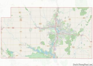
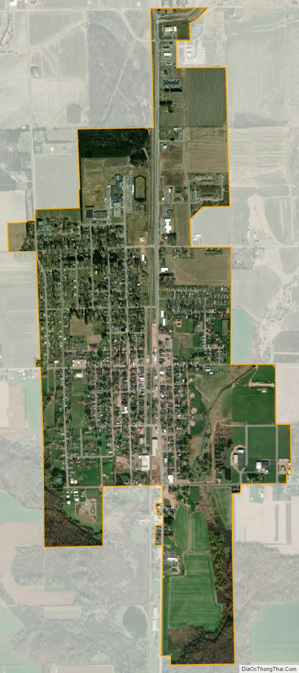
Colby city Satellite Map
Geography
Colby is located at 44°54′36″N 90°19′1″W / 44.91000°N 90.31694°W / 44.91000; -90.31694 (44.910186, -90.317058).
According to the United States Census Bureau, the city has a total area of 1.57 square miles (4.07 km), of which, 1.56 square miles (4.04 km) is land and 0.01 square miles (0.03 km) is water.
See also
Map of Wisconsin State and its subdivision:- Adams
- Ashland
- Barron
- Bayfield
- Brown
- Buffalo
- Burnett
- Calumet
- Chippewa
- Clark
- Columbia
- Crawford
- Dane
- Dodge
- Door
- Douglas
- Dunn
- Eau Claire
- Florence
- Fond du Lac
- Forest
- Grant
- Green
- Green Lake
- Iowa
- Iron
- Jackson
- Jefferson
- Juneau
- Kenosha
- Kewaunee
- La Crosse
- Lafayette
- Lake Michigan
- Lake Superior
- Langlade
- Lincoln
- Manitowoc
- Marathon
- Marinette
- Marquette
- Menominee
- Milwaukee
- Monroe
- Oconto
- Oneida
- Outagamie
- Ozaukee
- Pepin
- Pierce
- Polk
- Portage
- Price
- Racine
- Richland
- Rock
- Rusk
- Saint Croix
- Sauk
- Sawyer
- Shawano
- Sheboygan
- Taylor
- Trempealeau
- Vernon
- Vilas
- Walworth
- Washburn
- Washington
- Waukesha
- Waupaca
- Waushara
- Winnebago
- Wood
- Alabama
- Alaska
- Arizona
- Arkansas
- California
- Colorado
- Connecticut
- Delaware
- District of Columbia
- Florida
- Georgia
- Hawaii
- Idaho
- Illinois
- Indiana
- Iowa
- Kansas
- Kentucky
- Louisiana
- Maine
- Maryland
- Massachusetts
- Michigan
- Minnesota
- Mississippi
- Missouri
- Montana
- Nebraska
- Nevada
- New Hampshire
- New Jersey
- New Mexico
- New York
- North Carolina
- North Dakota
- Ohio
- Oklahoma
- Oregon
- Pennsylvania
- Rhode Island
- South Carolina
- South Dakota
- Tennessee
- Texas
- Utah
- Vermont
- Virginia
- Washington
- West Virginia
- Wisconsin
- Wyoming