Portage County is a county in the U.S. state of Wisconsin. As of the 2020 census, the population was 70,377. Its county seat is Stevens Point.
Portage County comprises the Stevens Point, WI Micropolitan Statistical Area and is included in the Wausau-Stevens Point-Wisconsin Rapids, WI Combined Statistical Area.
| Name: | Portage County |
|---|---|
| FIPS code: | 55-097 |
| State: | Wisconsin |
| Founded: | 1844 |
| Named for: | the portage between the Fox and Wisconsin Rivers |
| Seat: | Stevens Point |
| Largest city: | Stevens Point |
| Total Area: | 823 sq mi (2,130 km²) |
| Land Area: | 801 sq mi (2,070 km²) |
| Total Population: | 70,377 |
| Population Density: | 87.9/sq mi (33.9/km²) |
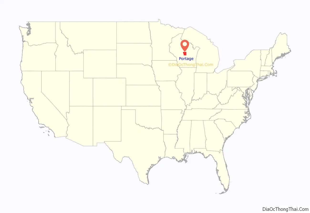
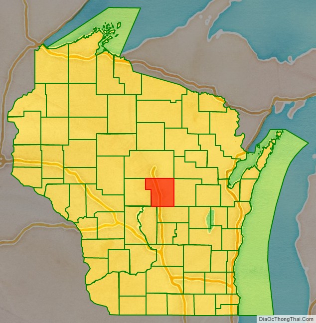
Portage County location map. Where is Portage County?
History
Portage County was created from the Wisconsin Territory in 1836 and organized in 1844. Like the city of Portage, Portage County is named for the portage between the Fox and Wisconsin rivers; Portage County originally included the portage and Portage but boundary changes detached the county from its namesake.
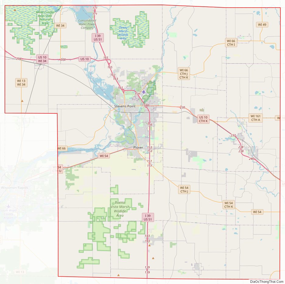
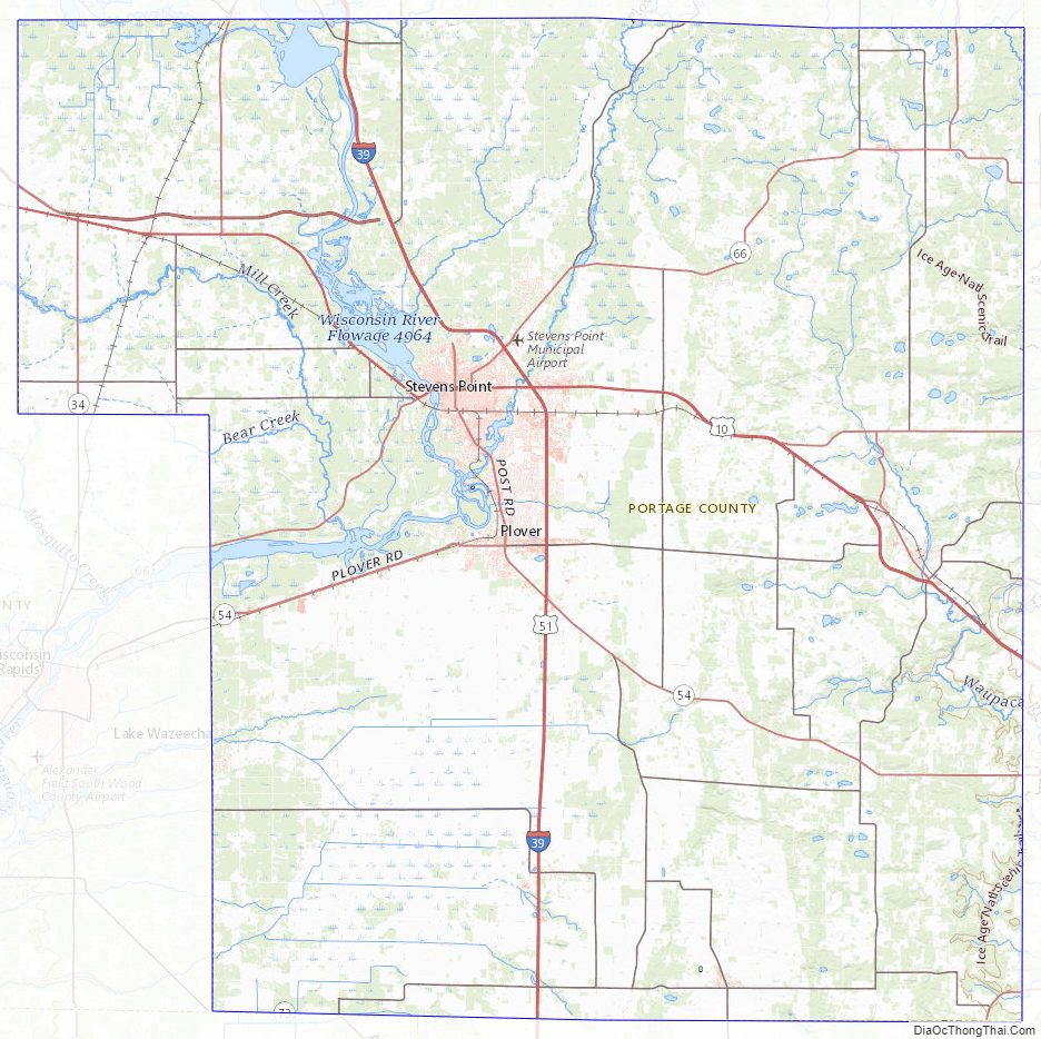
Portage County Road Map
Geography
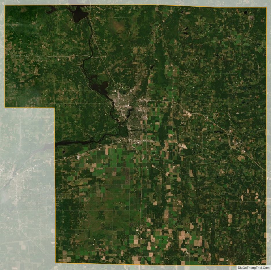
According to the U.S. Census Bureau, the county has a total area of 823 square miles (2,130 km), of which 801 square miles (2,070 km) is land and 22 square miles (57 km) (2.7%) is water.
Major highways
Railroads
- Canadian National
Buses
- Stevens Point Transit
- List of intercity bus stops in Wisconsin
Airport
- KSTE – Stevens Point Municipal Airport
Adjacent counties
- Marathon County – north
- Shawano County – northeast
- Waupaca County – east
- Waushara County – southeast
- Adams County – southwest
- Wood County – west
Wildlife refuges
- Buena Vista Marsh
- Dewey Marsh
- Mead Wildlife Area
- Paul J. Olson Wildlife Area
Portage County Topographic Map
Portage County Satellite Map
Portage County Outline Map