Marion County is a county in the U.S. state of Iowa. As of the 2020 census, the population was 33,414. The county seat is Knoxville. It is named for Francis Marion, a brigadier general from South Carolina in the American Revolutionary War.
| Name: | Marion County |
|---|---|
| FIPS code: | 19-125 |
| State: | Iowa |
| Founded: | 1845 |
| Named for: | Francis Marion |
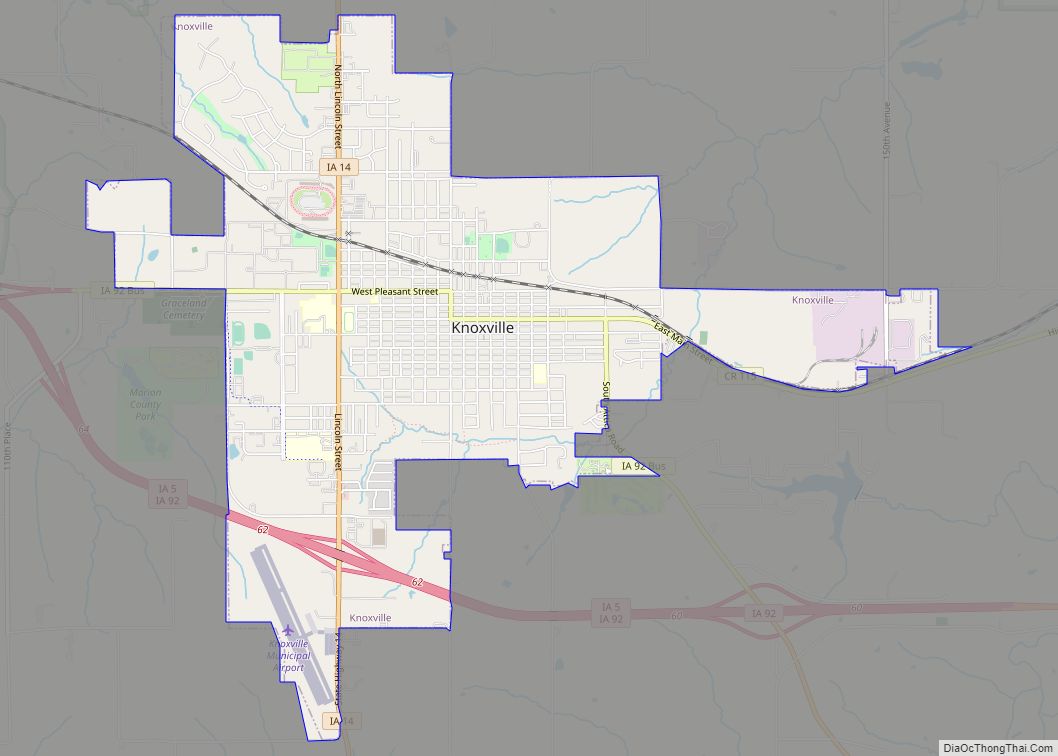
| Seat: | Knoxville |
| Largest city: | Pella |
| Total Area: | 571 sq mi (1,480 km²) |
| Land Area: | 555 sq mi (1,440 km²) |
| Total Population: | 33,414 |
| Population Density: | 59/sq mi (23/km²) |
| Time zone: | UTC−6 (Central) |
| Summer Time Zone (DST): | UTC−5 (CDT) |
| Website: | www.marioncountyiowa.gov |
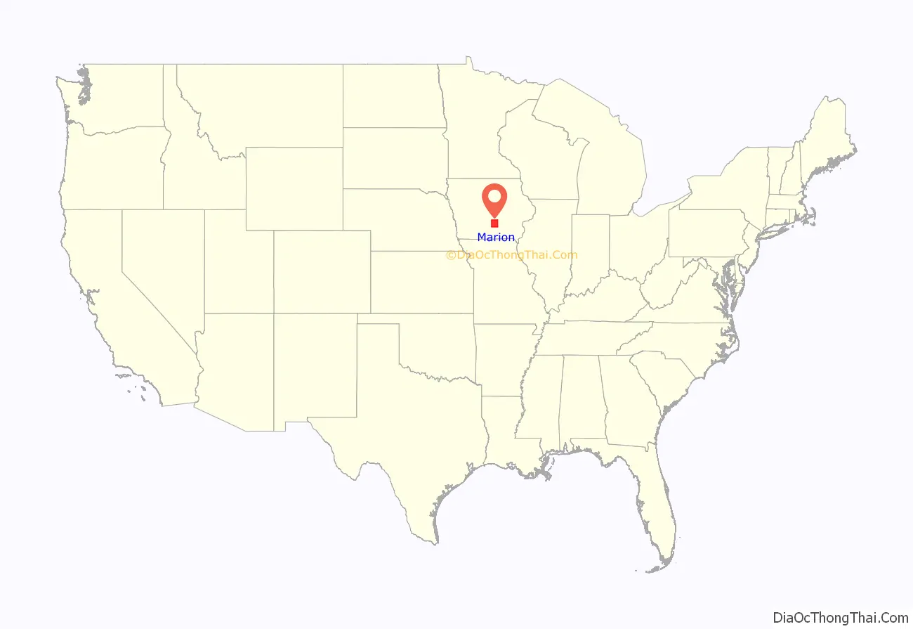
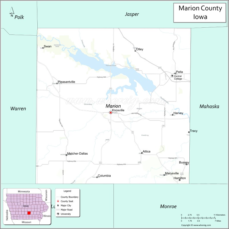
Marion County location map. Where is Marion County?
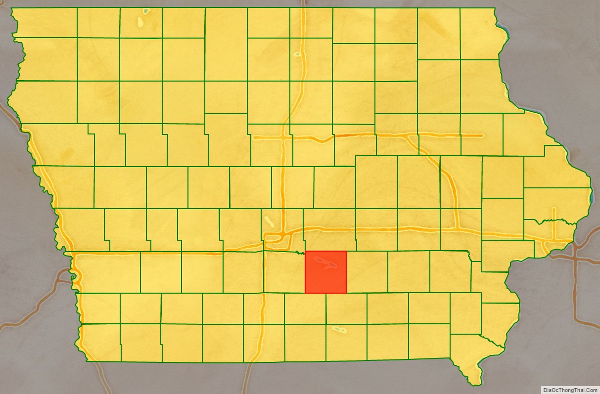
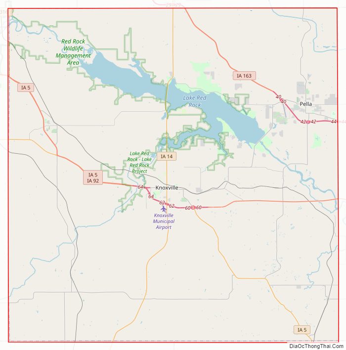
Marion County Road Map
Geography
According to the U.S. Census Bureau, the county has a total area of 571 square miles (1,480 km), of which 555 square miles (1,440 km) is land and 16 square miles (41 km) (2.8%) is water.
Major highways
- Iowa Highway 5
- Iowa Highway 14
- Iowa Highway 92
- Iowa Highway 163
- Iowa Highway 316
Adjacent counties
- Jasper County (north)
- Mahaska County (east)
- Monroe County (southeast)
- Lucas County (southwest)
- Warren County (west)
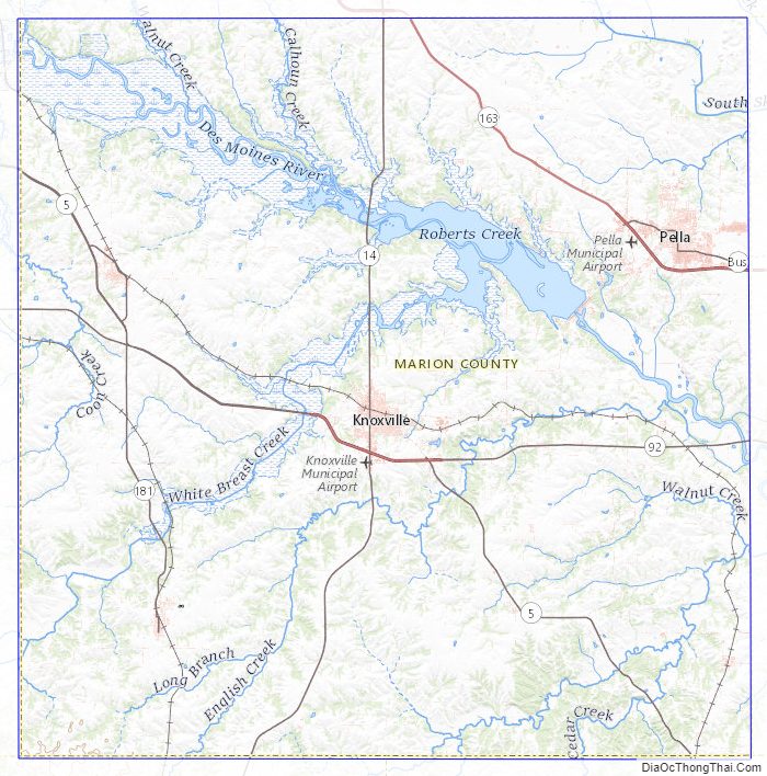
Marion County Topographic Map
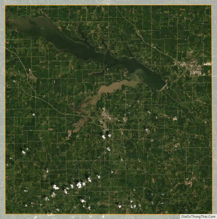
Marion County Satellite Map
Marion County Outline Map