Pella is a city in Marion County, Iowa, United States, with a population of 10,464 at the time of the 2020 U.S. Census. Founded by immigrants from the Netherlands, it is forty miles southeast of Des Moines. Pella is the home of Central College, as well as several manufacturing companies, including Pella Corporation and Vermeer Manufacturing Company.
| Name: | Pella city |
|---|---|
| LSAD Code: | 25 |
| LSAD Description: | city (suffix) |
| State: | Iowa |
| County: | Marion County |
| Elevation: | 890 ft (270 m) |
| Total Area: | 9.35 sq mi (24.20 km²) |
| Land Area: | 9.34 sq mi (24.20 km²) |
| Water Area: | 0.00 sq mi (0.00 km²) |
| Total Population: | 10,464 |
| Population Density: | 1,119.98/sq mi (432.44/km²) |
| ZIP code: | 50219 |
| Area code: | 641 |
| FIPS code: | 1962040 |
| GNISfeature ID: | 0460063 |
| Website: | cityofpella.com |
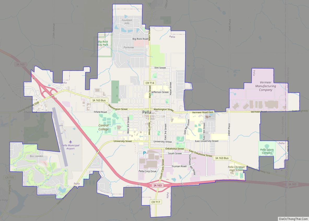
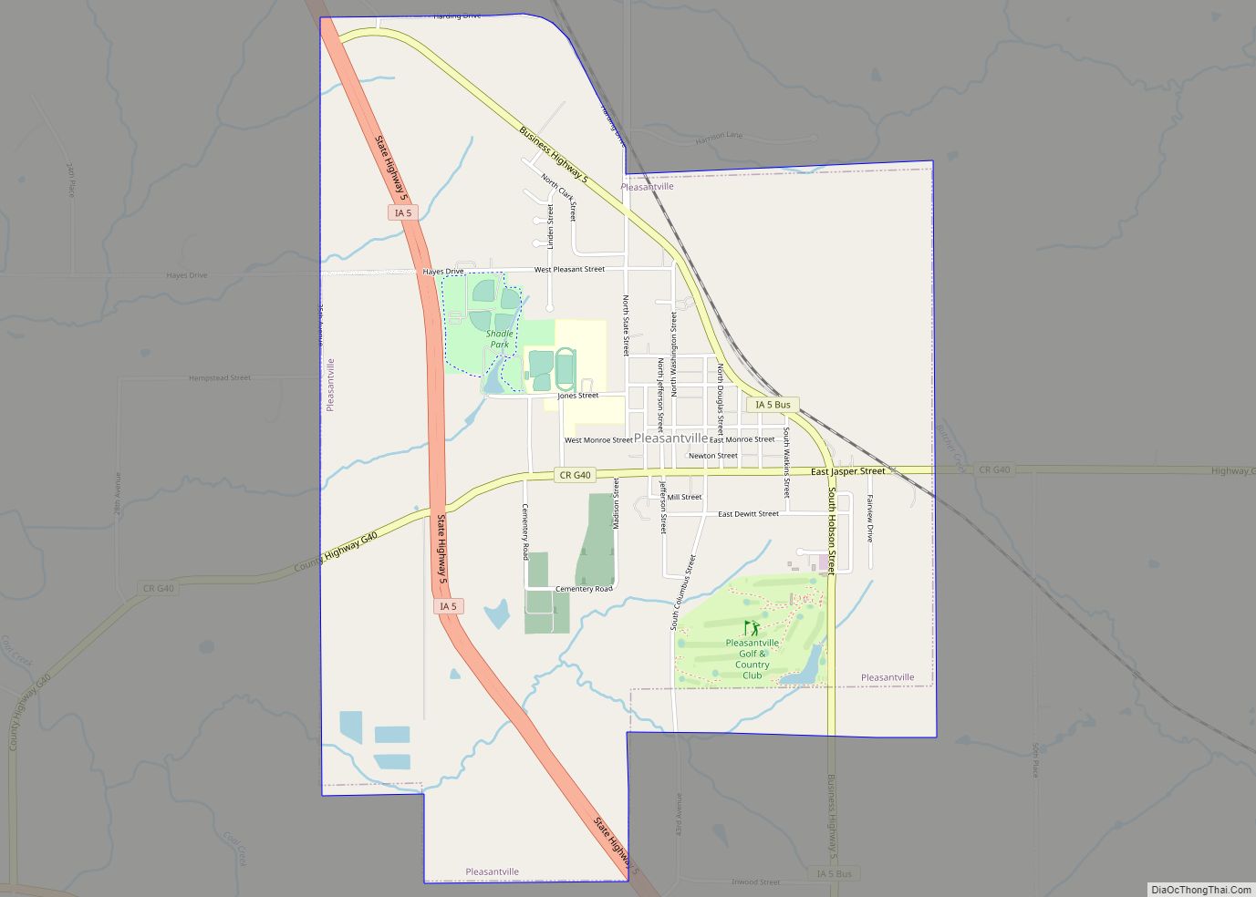
Online Interactive Map
Click on ![]() to view map in "full screen" mode.
to view map in "full screen" mode.
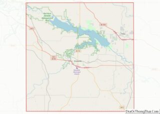
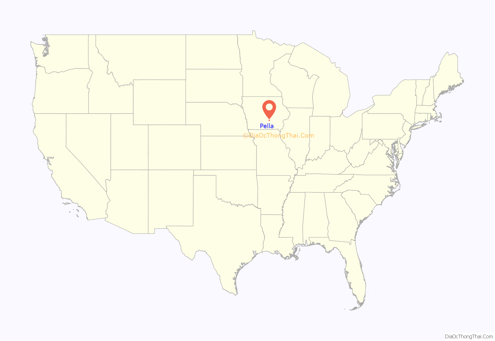
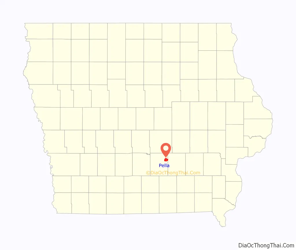
Pella location map. Where is Pella city?
History
In 1847, 800 Dutch immigrants led by Dominee (Minister) Hendrik “Henry” P. Scholte settled the area known as Pella. The name “Pella” is a reference to Pella of the Decapolis, where the Christians of Jerusalem had found refuge during the Roman–Jewish war of 70; the name was selected because the Dominee and his followers sought religious freedom as well. Pella was the childhood home of Wyatt Earp, whose father Nicholas Porter Earp had settled on a farm near Pella. His brothers Warren and Morgan were born in Pella.
On July 19, 2018, a destructive EF3 tornado struck the Vermeer manufacturing plant in the city. Due to early warning, only 7 of the thousands of people on-site were injured.
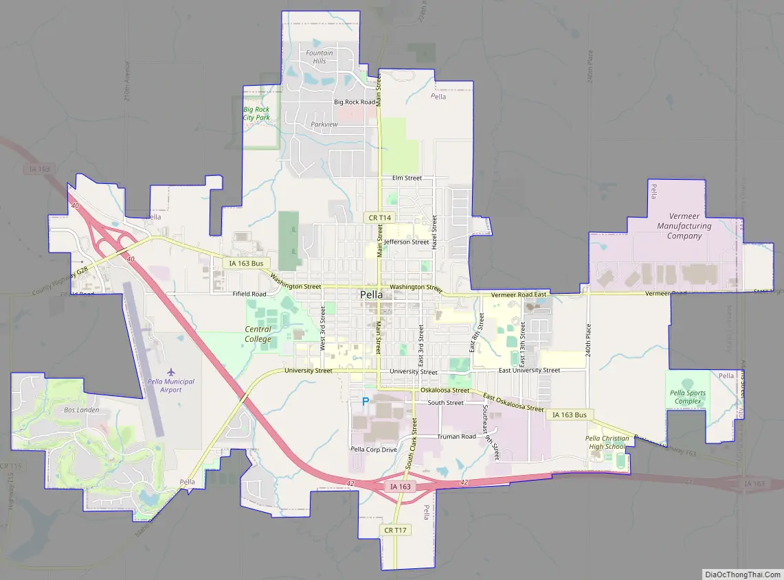
Pella Road Map
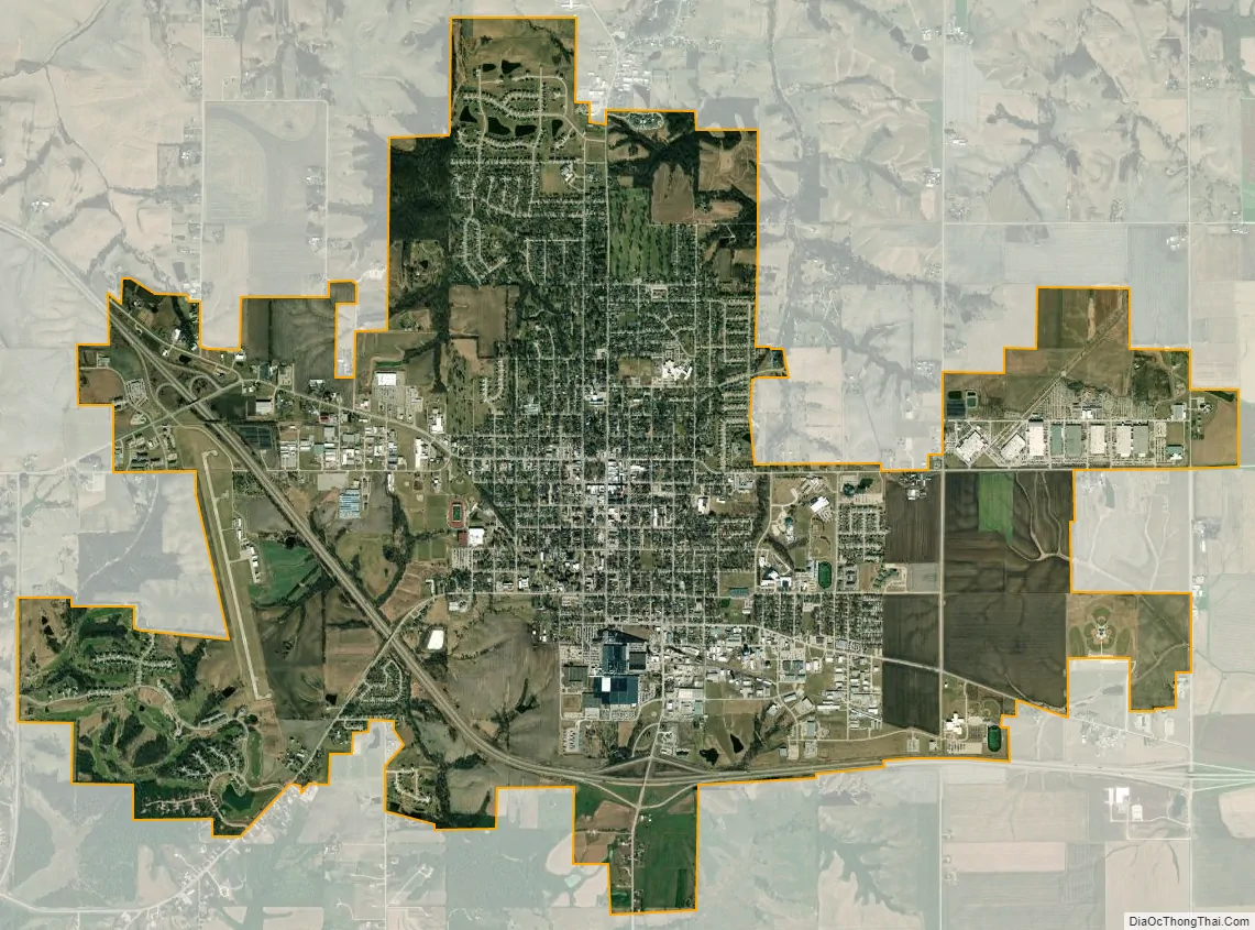
Pella city Satellite Map
Geography
According to the United States Census Bureau, the city has a total area of 8.73 square miles (22.61 km), all of it land. Since 2013, it is located in Iowa’s 2nd congressional district. Before that year, it was part of Iowa’s 3rd congressional district.
See also
Map of Iowa State and its subdivision:- Adair
- Adams
- Allamakee
- Appanoose
- Audubon
- Benton
- Black Hawk
- Boone
- Bremer
- Buchanan
- Buena Vista
- Butler
- Calhoun
- Carroll
- Cass
- Cedar
- Cerro Gordo
- Cherokee
- Chickasaw
- Clarke
- Clay
- Clayton
- Clinton
- Crawford
- Dallas
- Davis
- Decatur
- Delaware
- Des Moines
- Dickinson
- Dubuque
- Emmet
- Fayette
- Floyd
- Franklin
- Fremont
- Greene
- Grundy
- Guthrie
- Hamilton
- Hancock
- Hardin
- Harrison
- Henry
- Howard
- Humboldt
- Ida
- Iowa
- Jackson
- Jasper
- Jefferson
- Johnson
- Jones
- Keokuk
- Kossuth
- Lee
- Linn
- Louisa
- Lucas
- Lyon
- Madison
- Mahaska
- Marion
- Marshall
- Mills
- Mitchell
- Monona
- Monroe
- Montgomery
- Muscatine
- O'Brien
- Osceola
- Page
- Palo Alto
- Plymouth
- Pocahontas
- Polk
- Pottawattamie
- Poweshiek
- Ringgold
- Sac
- Scott
- Shelby
- Sioux
- Story
- Tama
- Taylor
- Union
- Van Buren
- Wapello
- Warren
- Washington
- Wayne
- Webster
- Winnebago
- Winneshiek
- Woodbury
- Worth
- Wright
- Alabama
- Alaska
- Arizona
- Arkansas
- California
- Colorado
- Connecticut
- Delaware
- District of Columbia
- Florida
- Georgia
- Hawaii
- Idaho
- Illinois
- Indiana
- Iowa
- Kansas
- Kentucky
- Louisiana
- Maine
- Maryland
- Massachusetts
- Michigan
- Minnesota
- Mississippi
- Missouri
- Montana
- Nebraska
- Nevada
- New Hampshire
- New Jersey
- New Mexico
- New York
- North Carolina
- North Dakota
- Ohio
- Oklahoma
- Oregon
- Pennsylvania
- Rhode Island
- South Carolina
- South Dakota
- Tennessee
- Texas
- Utah
- Vermont
- Virginia
- Washington
- West Virginia
- Wisconsin
- Wyoming