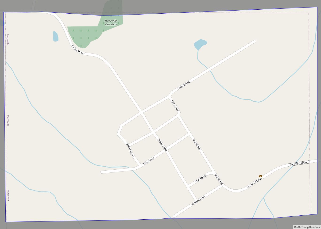
Marysville is a city in Marion County, Iowa, United States. The population was 44 at the time of the 2020 census.
| Name: | Marysville city |
|---|---|
| LSAD Code: | 25 |
| LSAD Description: | city (suffix) |
| State: | Iowa |
| County: | Marion County |
| Elevation: | 720 ft (220 m) |
| Total Area: | 0.54 sq mi (1.40 km²) |
| Land Area: | 0.54 sq mi (1.40 km²) |
| Water Area: | 0.00 sq mi (0.00 km²) |
| Total Population: | 44 |
| Population Density: | 81.63/sq mi (31.53/km²) |
| ZIP code: | 50116 |
| Area code: | 641 |
| FIPS code: | 1950070 |
| GNISfeature ID: | 0458838 |
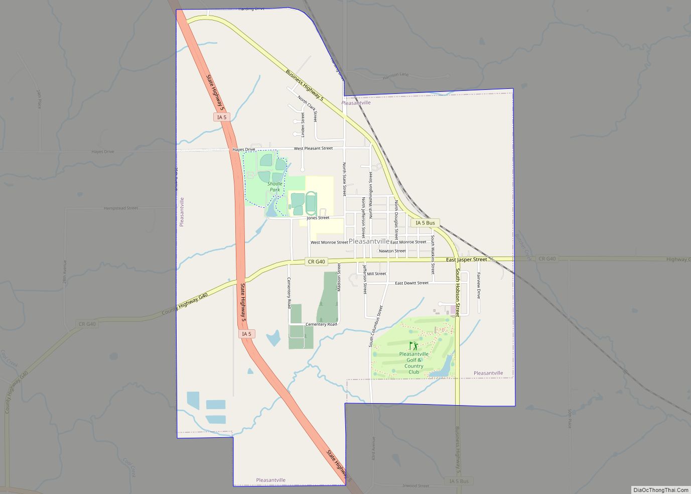
Online Interactive Map
Click on ![]() to view map in "full screen" mode.
to view map in "full screen" mode.
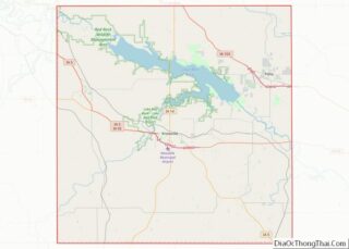
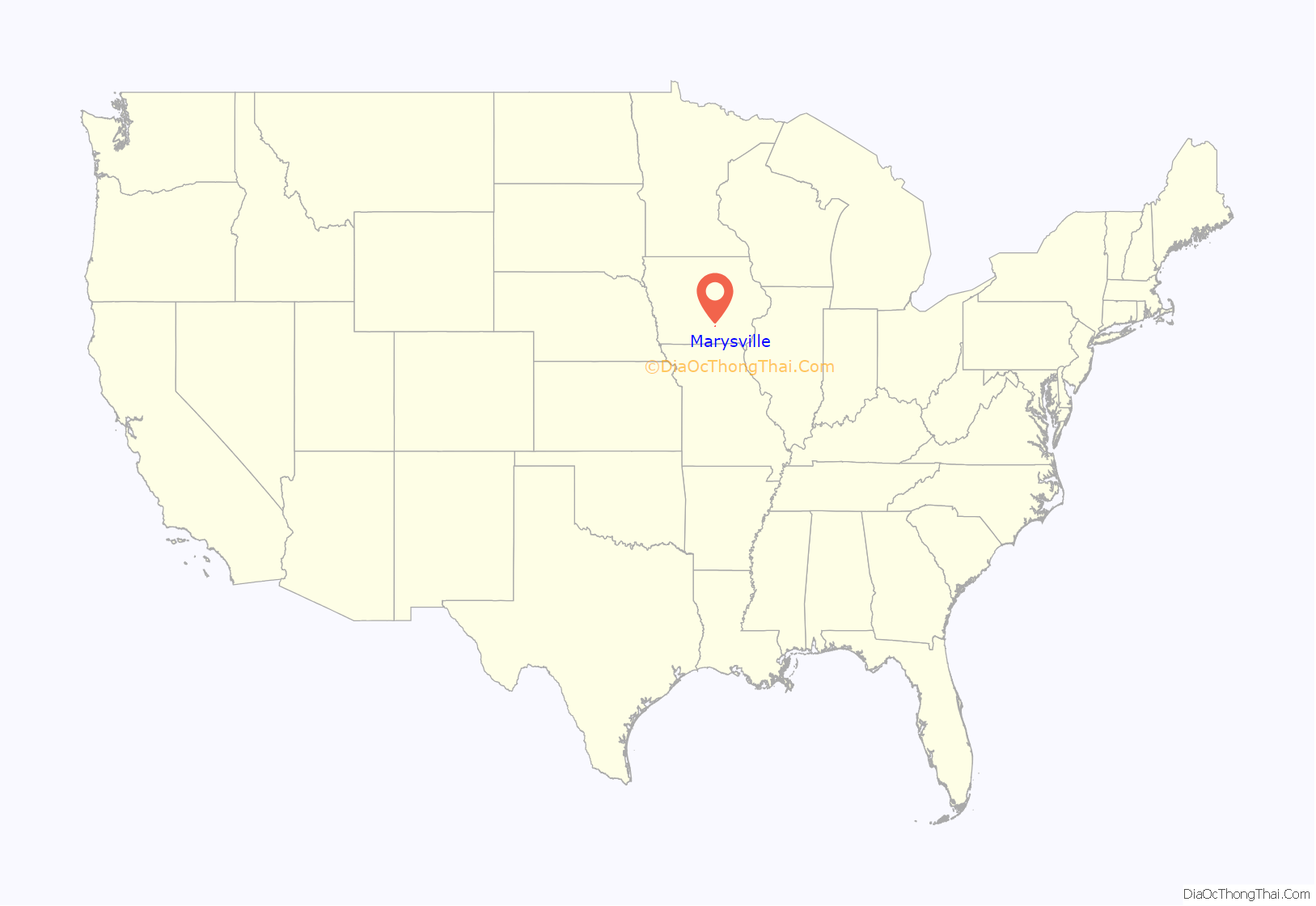
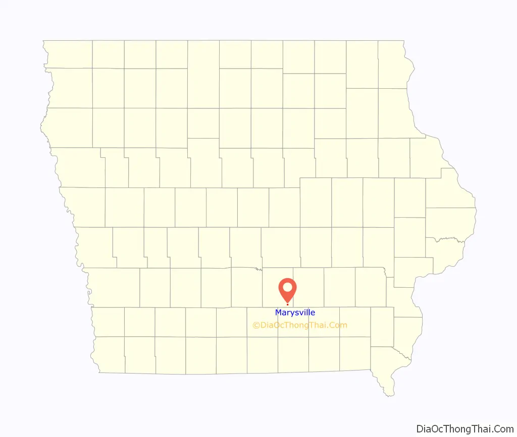
Marysville location map. Where is Marysville city?
History
There are numerous coal exposures on the banks of the branches of Cedar Creek both north and south of Marysville. In 1846, one exposure south of Marysville was found to be on fire, and this fire continued until June 1851, when heavy rains and flooding extinguished the fire.
The county surveyor, Joseph Brobst, filed a plat for Marysville on March 4, 1851, creating 26 lots and a public square that was later subdivided into additional lots. Marysville was named after the 5 members of the Brobst family who were named Mary. Originally, the Marysville post office was named Ely or Ely’s. A Methodist church was established in 1867, a weekly newspaper, the Marysville Miner, was established in 1871, and a woolen factory was opened in 1872. Marysville was officially incorporated as a town in the late 1870s, and by 1910, it had three general stores, a post office, a 4-teacher public school, and telephone service.
A five-foot bed of coal was exposed along North Cedar Creek about 2 miles north of Marysville, and by 1867, several coal banks were open in the Marysville area and Jacob Kline had opened a mine about a mile north of Marysville, where the coal was 10 feet thick. By 1908, eleven different mines had been worked in the Marysville area, primarily by the Mammoth Vein Coal Company, which took over from the O.K. Coal Company in 1903. The Wabash Railroad built a 7-mile spur line to serve the mines.
Everist
The coal camp of Everist, Iowa was located about 2 miles north of Marysville near 41°12′35″N 92°57′40.72″W / 41.20972°N 92.9613111°W / 41.20972; -92.9613111. The camp post office operated from 1905 to 1918. Everist served mines operated by the Mammoth Vein Coal Company and later the Empire Coal Company. Employment in 1914 was seasonal, varying from 90 to 300 men, and the mines at Everist shipped up to 800 carloads of coal per day circa 1914. The nearest railroad station was 6 miles away (by road) in Bussey. As is typical of coal camps, the coal company owned the houses in Everist and met the residents’ needs through a company store. Scrip tokens for The Everist Mercantile Co. are occasionally found on the collectors’ market. United Mine Workers local 981 was organized in Everist in 1905; by 1907, it had 480 members. Mine wages varied from $1.13 to $2.56 per day.
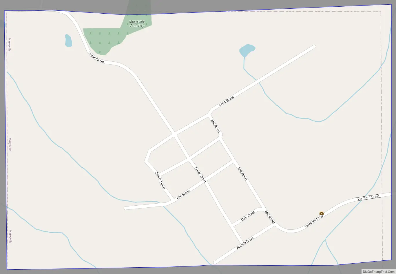
Marysville Road Map
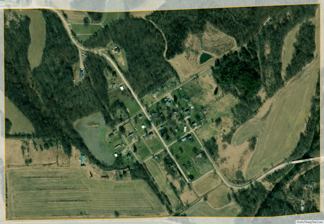
Marysville city Satellite Map
Geography
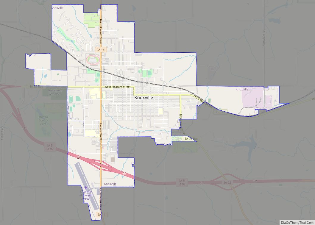
Marysville is located at 41°10′52″N 92°57′8″W / 41.18111°N 92.95222°W / 41.18111; -92.95222 (41.181133, -92.952301). This location is on the north bank of Cedar Creek, 15 miles southeast of Knoxville, the county seat of Marion County.
According to the United States Census Bureau, the city has a total area of 0.37 square miles (0.96 km), all of it land.
See also
Map of Iowa State and its subdivision:- Adair
- Adams
- Allamakee
- Appanoose
- Audubon
- Benton
- Black Hawk
- Boone
- Bremer
- Buchanan
- Buena Vista
- Butler
- Calhoun
- Carroll
- Cass
- Cedar
- Cerro Gordo
- Cherokee
- Chickasaw
- Clarke
- Clay
- Clayton
- Clinton
- Crawford
- Dallas
- Davis
- Decatur
- Delaware
- Des Moines
- Dickinson
- Dubuque
- Emmet
- Fayette
- Floyd
- Franklin
- Fremont
- Greene
- Grundy
- Guthrie
- Hamilton
- Hancock
- Hardin
- Harrison
- Henry
- Howard
- Humboldt
- Ida
- Iowa
- Jackson
- Jasper
- Jefferson
- Johnson
- Jones
- Keokuk
- Kossuth
- Lee
- Linn
- Louisa
- Lucas
- Lyon
- Madison
- Mahaska
- Marion
- Marshall
- Mills
- Mitchell
- Monona
- Monroe
- Montgomery
- Muscatine
- O'Brien
- Osceola
- Page
- Palo Alto
- Plymouth
- Pocahontas
- Polk
- Pottawattamie
- Poweshiek
- Ringgold
- Sac
- Scott
- Shelby
- Sioux
- Story
- Tama
- Taylor
- Union
- Van Buren
- Wapello
- Warren
- Washington
- Wayne
- Webster
- Winnebago
- Winneshiek
- Woodbury
- Worth
- Wright
- Alabama
- Alaska
- Arizona
- Arkansas
- California
- Colorado
- Connecticut
- Delaware
- District of Columbia
- Florida
- Georgia
- Hawaii
- Idaho
- Illinois
- Indiana
- Iowa
- Kansas
- Kentucky
- Louisiana
- Maine
- Maryland
- Massachusetts
- Michigan
- Minnesota
- Mississippi
- Missouri
- Montana
- Nebraska
- Nevada
- New Hampshire
- New Jersey
- New Mexico
- New York
- North Carolina
- North Dakota
- Ohio
- Oklahoma
- Oregon
- Pennsylvania
- Rhode Island
- South Carolina
- South Dakota
- Tennessee
- Texas
- Utah
- Vermont
- Virginia
- Washington
- West Virginia
- Wisconsin
- Wyoming