Mercer County is a county located in the central part of the U.S. Commonwealth of Kentucky. As of the 2020 census, the population was 23,772. Its county seat is Harrodsburg. The county was formed from Lincoln County, Virginia in 1785 and is named for Revolutionary War General Hugh Mercer, who was killed at the Battle of Princeton in 1777. It was formerly a prohibition or dry county.
| Name: | Mercer County |
|---|---|
| FIPS code: | 21-167 |
| State: | Kentucky |
| Founded: | 1785 |
| Named for: | Hugh Mercer |
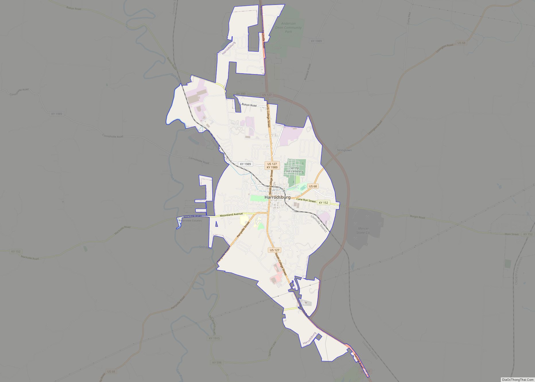
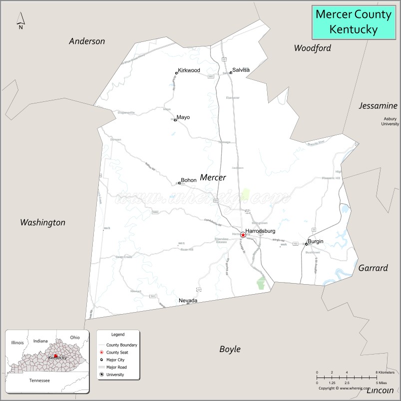
| Seat: | Harrodsburg |
| Largest city: | Harrodsburg |
| Total Area: | 253 sq mi (660 km²) |
| Land Area: | 249 sq mi (640 km²) |
| Total Population: | 22,641 |
| Population Density: | 89/sq mi (35/km²) |
| Time zone: | UTC−5 (Eastern) |
| Summer Time Zone (DST): | UTC−4 (EDT) |
| Website: | www.mercercounty.ky.gov |
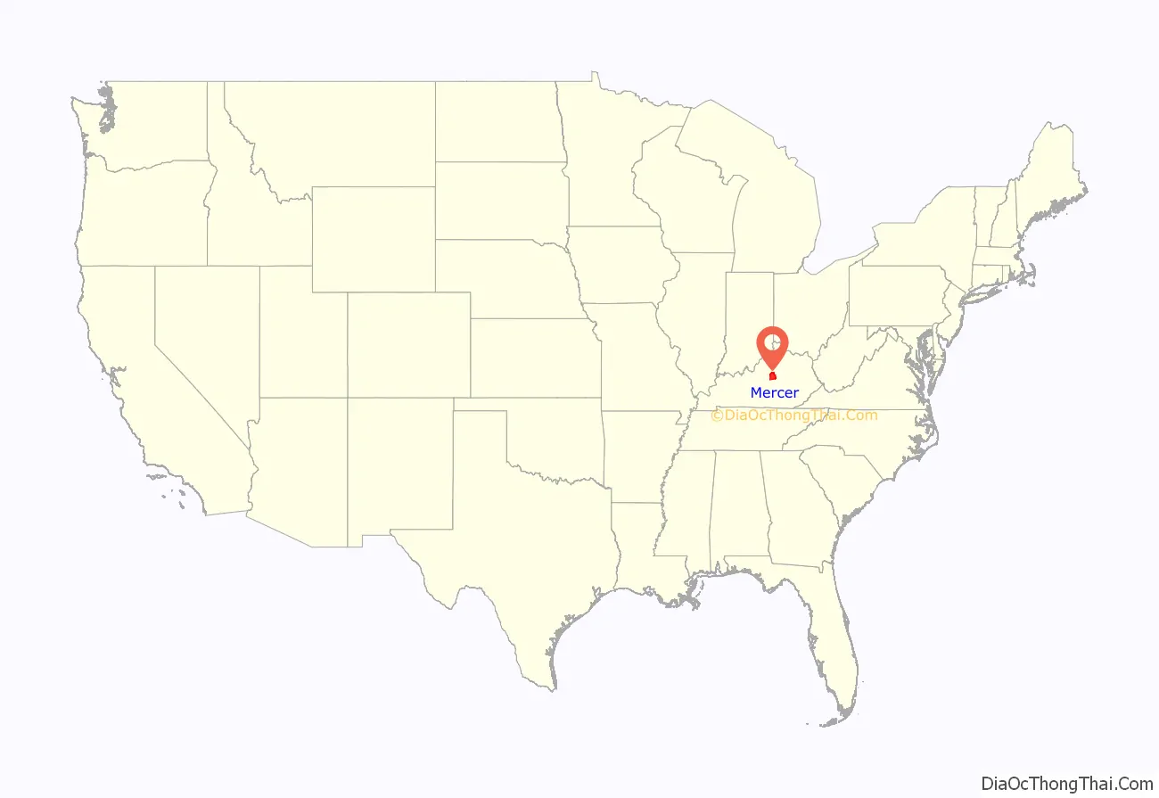
Mercer County location map. Where is Mercer County?

History
Harrodsburg was the first city formally chartered in Kentucky County, the Virginia district that later became the 15th state. It was originally the county seat of Lincoln County when it was formed in 1780, but it became the seat of Mercer County when it was created.
Pleasant Hill, also known as Shakertown, is the site of a former Shaker community, active especially in the years before the American Civil War. It is a National Historic Landmark District, consisting of more than 30 historic buildings. The district also includes acres of farm and parkland.
During the Civil War, the county was divided in sentiment. Union control permitted the organization 2 Union regiments, the 19th Regiment Kentucky Volunteer Infantry and the 11th Regiment Kentucky Volunteer Cavalry. However, many county men also served in the Confederate Army. The 19th Kentucky Infantry (Union) was organized at Camp Harwood for a three-year enlistment commencing January 2, 1862, commanded Col. William J. Landram. Companies A, C, D, and F of the 11th Kentucky Cavalry (Union) were organized at Harrodsburg in July 1862. The remainder of the regiment was organized in Louisville, Kentucky, and mustered in for three years on September 26, 1862, under the Colonel Alexander W. Holeman. Following the Battle of Perryville, much of Harrodsburg and surrounding towns were converted into makeshift hospitals; 1600 sick and wounded Confederate soldiers were captured during a raid in Harrodsburg by the 9th Kentucky Cavalry on October 10, 1862. The city then remained under martial law for the remainder of the war.
The Louisville Southern Railroad reached Harrodsburg in 1888. Louisville Southern Railway’s construction commenced in 1884 and ran from Louisville through Shelbyville and Lawrenceburg to Harrodsburg, which was reached in 1888. The rail yard and station were located at the corner of Office Street and Merimon Avenue. A spur was later constructed from the station to Burgin, where the Louisville Southern joined the Cincinnati Southern’s Cincinnati, New Orleans and Texas Pacific Railway CNO&TP mainline which runs through the eastern part of the country from High Bridge of Kentucky to Burgin to Danville was opened in 1877. Now all run and operated by Norfolk Southern Railway.
Company D of the 192nd Tank Battalion, which took part in the World War II Battle of Bataan was from Harrodsburg.
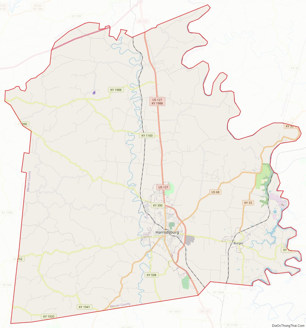
Mercer County Road Map
Geography
According to the United States Census Bureau, the county has a total area of 253 square miles (660 km), of which 249 square miles (640 km) is land and 4.5 square miles (12 km) (1.8%) is water.
Mercer County is located in central Kentucky in the Bluegrass region.
Adjacent counties
- Anderson County (north)
- Woodford County (northeast)
- Jessamine County (east)
- Garrard County (southeast)
- Boyle County (south)
- Washington County (west)
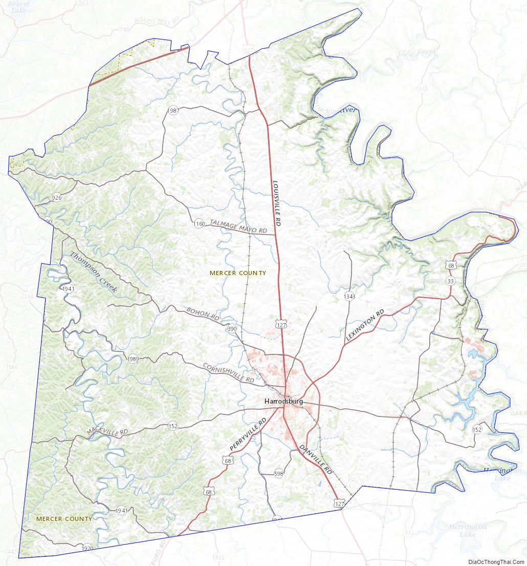
Mercer County Topographic Map
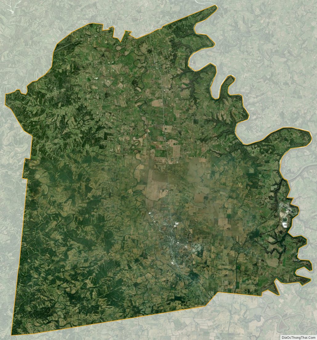
Mercer County Satellite Map
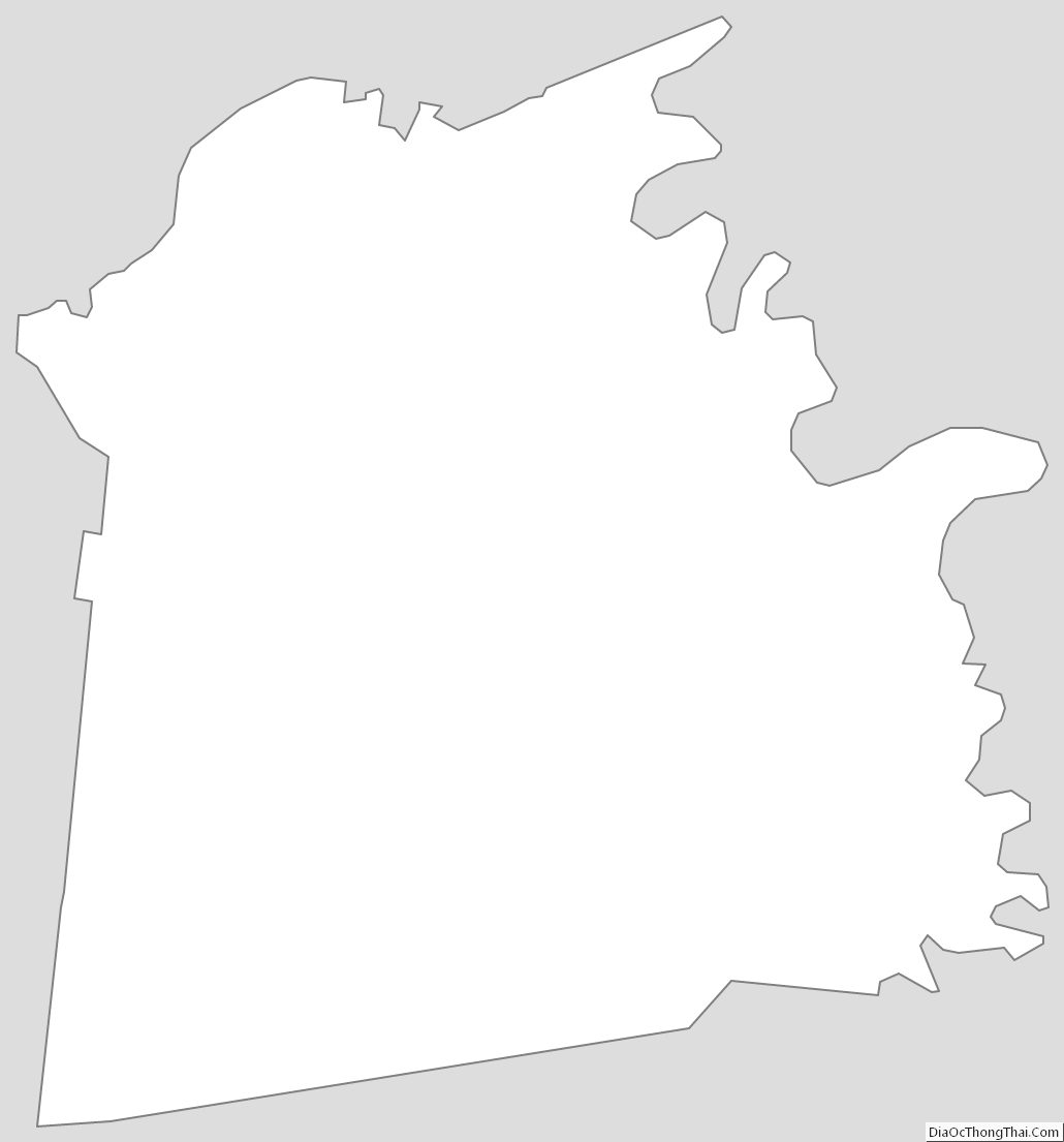
Mercer County Outline Map