Morgan County is a county in northern Utah, United States. As of the 2010 census, the population was 9,469. Its county seat and largest city is Morgan. Morgan County is part of the Ogden–Clearfield, UT Metropolitan Statistical Area as well as the Salt Lake City-Provo–Orem, UT Combined Statistical Area.
| Name: | Morgan County |
|---|---|
| FIPS code: | 49-029 |
| State: | Utah |
| Founded: | January 17, 1862 |
| Named for: | Jedediah Morgan Grant |
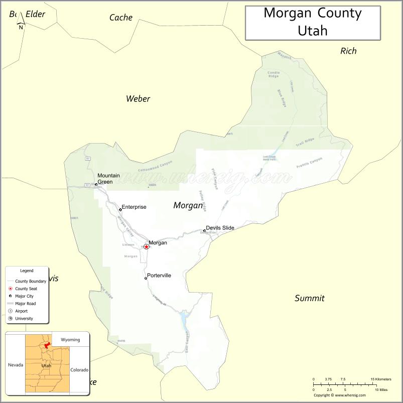
| Seat: | Morgan |
| Largest city: | Morgan |
| Total Area: | 611 sq mi (1,580 km²) |
| Land Area: | 609 sq mi (1,580 km²) |
| Total Population: | 12,295 |
| Population Density: | 20/sq mi (7.8/km²) |
| Time zone: | UTC−7 (Mountain) |
| Summer Time Zone (DST): | UTC−6 (MDT) |
| Website: | www.morgan-county.net |
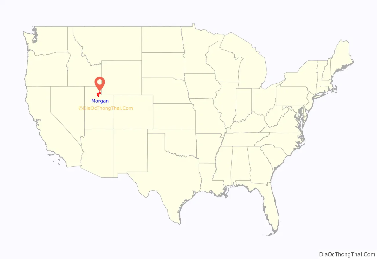
Morgan County location map. Where is Morgan County?
History
An early route of the Hastings Cutoff ran through the Morgan Valley and down through a narrow gorge in Weber Canyon. The Donner Party avoided going through the Morgan Valley in order to speed up their journey. However, their alternate route proved more time-consuming.
In 1855, Charles Sreeve Peterson and his family became the first white settlers to take up permanent residence in the Morgan Valley after cutting a road through Weber Canyon. After others began settling in the rather limited planar areas of the mountainous territory, the Utah Territory legislature acted on January 17, 1862, to form a separate county from sections partitioned off Davis, Great Salt Lake, Summit, and Weber counties. The small settlement at Morgan was named the county seat. The town (and thus the new county) was named for the father (Jedediah Morgan Grant) of Heber J. Grant, who would serve as president of LDS Church from 1918 until 1945.
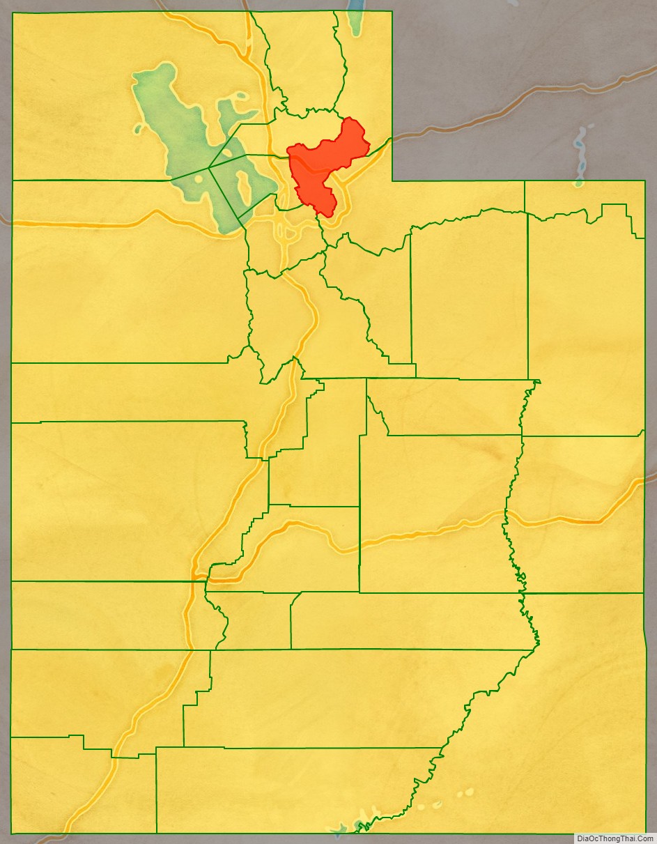
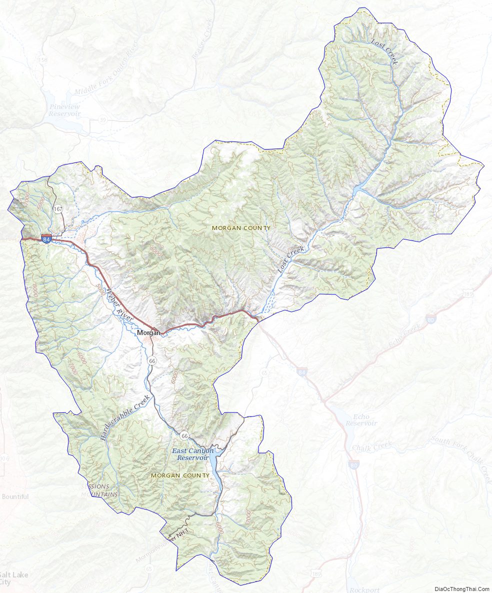
Morgan County Road Map
Geography
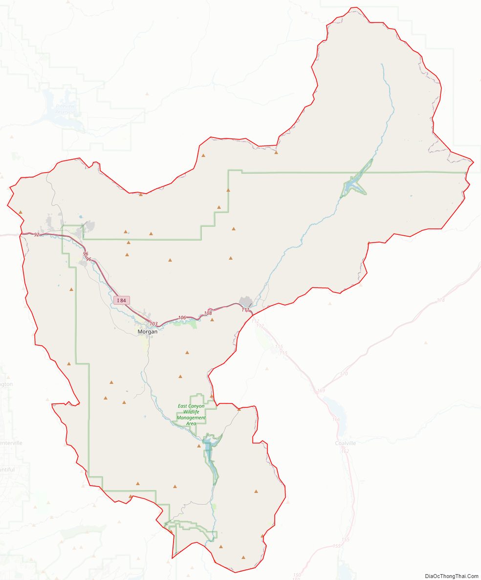
The central core of Morgan County, the narrow East Canyon valley (now called Morgan Valley), is ringed by mountains. In its southern portion, Main Canyon Creek flows southward from Summit County to join East Canyon Creek, which flows northward from a different portion of Summit County. At their intersection, a dam has been installed to create East Canyon Reservoir and State Park. The combined discharge (now called East Canyon Creek) from the dam flows northwestward to Morgan, where it combines with Deep Creek to discharge into the Weber River, which also flows into the county from Summit and follows Lost Canyon to the Morgan Valley. The now-augmented Weber flows northwestward to Mountain Green, then turns west to exit the county through Weber Canyon. The terrain generally slopes to the north and west, with its highest point, Thurston Peak, at 9,706′ (2958m) ASL. The county has an area of 611 square miles (1,580 km), of which 609 square miles (1,580 km) is land and 1.7 square miles (4.4 km) is water. It is Utah’s third-smallest county by land area and smallest by total area.
Major highways
- Interstate 84
- Utah State Highway U-65
- Utah State Highway U-66
- Utah State Highway U-158
- Utah State Highway U-167
Some county roads accessing the canyons are closed during winters.
Adjacent counties
- Weber County – north
- Summit County – east
- Salt Lake County – southwest
- Davis County – west
- Rich County – northeast
Protected areas
- Cache National Forest (part)
- East Canyon State Park
- Lost Creek State Park
- Round Valley Wildlife Management Area
- Wasatch National Forest (part)
Morgan County Topographic Map
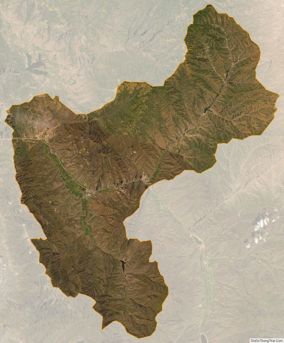
Morgan County Satellite Map
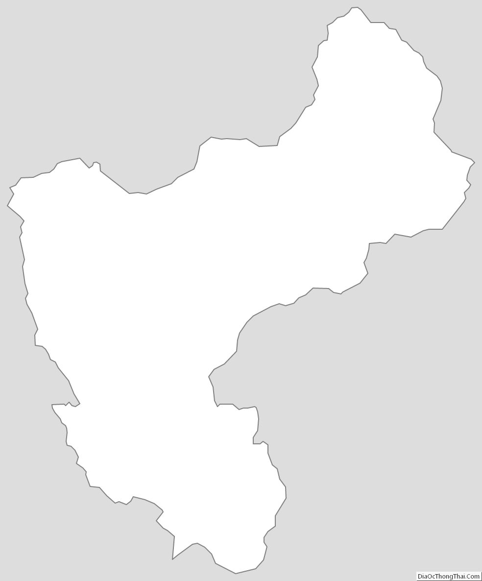
Morgan County Outline Map