Orem is a city in Utah County, Utah, United States, in the northern part of the state. It is adjacent to Provo, Lindon, and Vineyard and is approximately 45 miles (72 km) south of Salt Lake City.
Orem is one of the principal cities of the Provo-Orem, Utah Metropolitan Statistical Area, which includes all of Utah and Juab counties. The 2020 population was 98,129, while the 2010 population was 88,328 making it the fifth-largest city in Utah. Utah Valley University is located in Orem.
| Name: | Orem city |
|---|---|
| LSAD Code: | 25 |
| LSAD Description: | city (suffix) |
| State: | Utah |
| County: | Utah County |
| Elevation: | 4,774 ft (1,455 m) |
| Total Area: | 18.57 sq mi (48.10 km²) |
| Land Area: | 18.57 sq mi (48.10 km²) |
| Water Area: | 0.00 sq mi (0.00 km²) |
| Total Population: | 98,129 |
| Population Density: | 5,267.22/sq mi (2,033.67/km²) |
| FIPS code: | 4957300 |
| GNISfeature ID: | 1444110 |
| Website: | www.orem.org] |
Online Interactive Map
Click on ![]() to view map in "full screen" mode.
to view map in "full screen" mode.
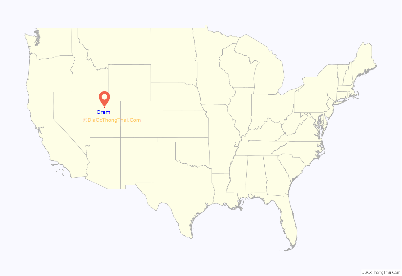
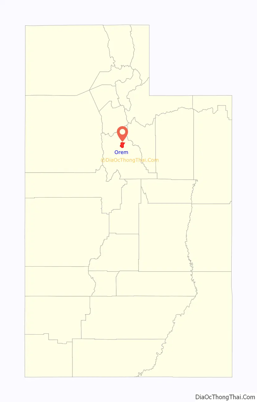
Orem location map. Where is Orem city?
History
At one time the area was known as Sharon, a Biblical name for a mostly level strip of land running between mountains and the sea, and the name of the Vermont birth town of Joseph Smith, founder of the Latter Day Saint movement. Another former name was Provo Bench. In an apparent attempt to attract more investment to the town and provide an easy way for the large population of farmers with orchards to ship produce, in 1914 it was named after Walter C. Orem, President of the Salt Lake and Utah Railroad in the early 1900s. Orem was incorporated on May 5, 1919.
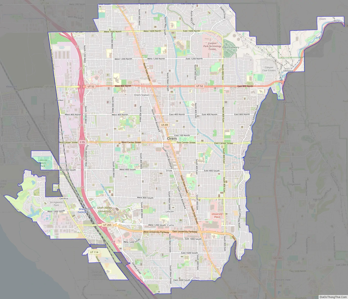
Orem Road Map
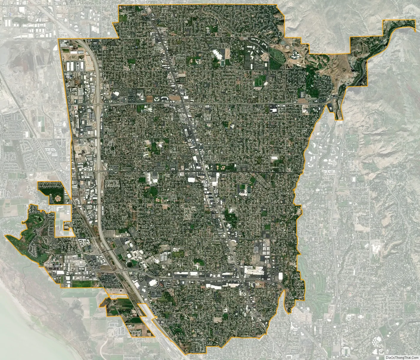
Orem city Satellite Map
Geography
Orem is located at 40°17′56″N 111°41′47″W / 40.29889°N 111.69639°W / 40.29889; -111.69639 (40.298753, -111.696486). Situated in a high desert, with an average elevation of 4,756 feet. According to the United States Census Bureau, the city has a total area of 18.4 square miles (48 km), all land. The city is located near the eastern shore of Utah Lake, bordering Provo on the east and south, Vineyard to the west, Lindon contiguous to the north, and Mount Timpanogos/Wasatch Mountain range to the east.
See also
Map of Utah State and its subdivision: Map of other states:- Alabama
- Alaska
- Arizona
- Arkansas
- California
- Colorado
- Connecticut
- Delaware
- District of Columbia
- Florida
- Georgia
- Hawaii
- Idaho
- Illinois
- Indiana
- Iowa
- Kansas
- Kentucky
- Louisiana
- Maine
- Maryland
- Massachusetts
- Michigan
- Minnesota
- Mississippi
- Missouri
- Montana
- Nebraska
- Nevada
- New Hampshire
- New Jersey
- New Mexico
- New York
- North Carolina
- North Dakota
- Ohio
- Oklahoma
- Oregon
- Pennsylvania
- Rhode Island
- South Carolina
- South Dakota
- Tennessee
- Texas
- Utah
- Vermont
- Virginia
- Washington
- West Virginia
- Wisconsin
- Wyoming


