Ogden /ˈɒɡdən/ (Shoshone: Ho-quip) is a city in and the county seat of Weber County, Utah, United States, approximately 10 miles (16 km) east of the Great Salt Lake and 40 miles (64 km) north of Salt Lake City. The population was 87,321 in 2020, according to the US Census Bureau, making it Utah’s eighth largest city. The city served as a major railway hub through much of its history, and still handles a great deal of freight rail traffic which makes it a convenient location for manufacturing and commerce. Ogden is also known for its many historic buildings, proximity to the Wasatch Mountains, and as the location of Weber State University.
Ogden is a principal city of the Ogden–Clearfield, Utah Metropolitan Statistical Area (MSA), which includes all of Weber, Morgan, Davis, and Box Elder counties. The 2010 Census placed the Metro population at 597,159. In 2010, Forbes rated the Ogden-Clearfield MSA as the 6th best place to raise a family. Ogden has had a sister city relationship to Hof in Bavaria, Germany since 1954.
| Name: | Ogden city |
|---|---|
| LSAD Code: | 25 |
| LSAD Description: | city (suffix) |
| State: | Utah |
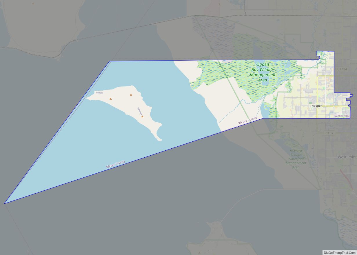
| County: | Weber County |
| Incorporated: | February 6, 1851 (As Brownsville) |
| Elevation: | 4,300 ft (1,310 m) |
| Land Area: | 27.55 sq mi (71.35 km²) |
| Water Area: | 0.00 sq mi (0.01 km²) |
| Population Density: | 3,169.55/sq mi (1,223.84/km²) |
| FIPS code: | 4955980 |
| GNISfeature ID: | 1444049 |
| Website: | http://ogdencity.com/ |
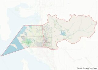
Online Interactive Map
Click on ![]() to view map in "full screen" mode.
to view map in "full screen" mode.
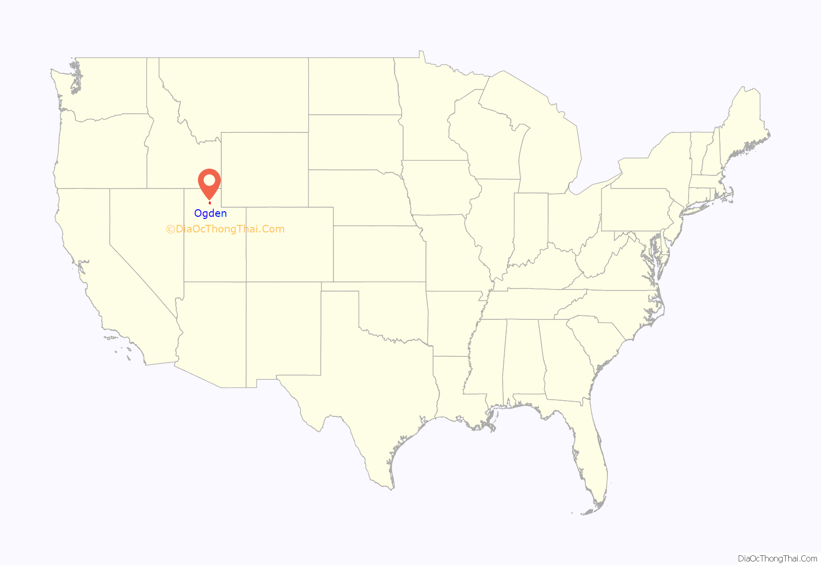
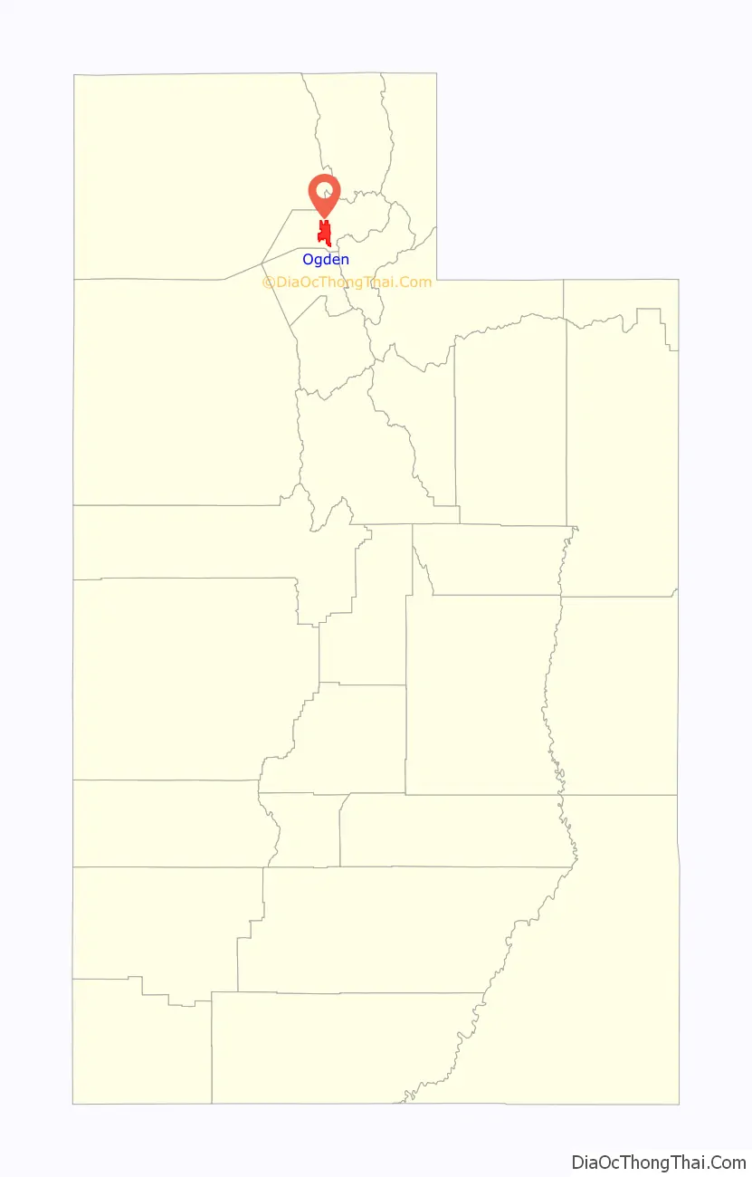
Ogden location map. Where is Ogden city?
History
Originally named Fort Buenaventura, Ogden was the first permanent settlement by people of European descent in what is now Utah. It was established by the trapper Miles Goodyear in 1846 about a mile west of where downtown Ogden sits today.
In November 1847, Captain James Brown purchased all the land now comprising Weber County together with some livestock and Fort Buenaventura for $3,000 (equivalent to $87000 in 2021). The land was conveyed to Captain Brown in a Mexican Land Grant, this area being at that time a part of Mexico. The settlement was then called Brownsville, after Captain James Brown, but was later named Ogden for a brigade leader of the Hudson’s Bay Company, Peter Skene Ogden, who had trapped in the Weber Valley a generation earlier. There is some confusion about which “Ogden” was the first to set foot in the area. A Samuel Ogden traveled through the western United States on an exploration trip in 1818. The site of the original Fort Buenaventura is now a Weber County park.
Ogden is the closest sizable city to the Golden Spike location at Promontory Summit, Utah, where the First transcontinental railroad was joined in 1869. It was known as a major passenger railroad junction owing to its location along major east–west and north–south routes, prompting the local chamber of commerce to adopt the motto, “You can’t get anywhere without coming to Ogden.” Railroad passengers traveling west to San Francisco from the eastern United States typically passed through Ogden (and not through the larger Salt Lake City to the south). However, Amtrak, the national passenger rail system, no longer serves Ogden. Passengers who want to travel to and from Ogden by rail must travel via FrontRunner commuter rail to Salt Lake City and Provo. Renowned Danish impressionistic writer Hermand Bang died in Ogden in 1912 during a lecture tour in the United States.
In 1972, The Church of Jesus Christ of Latter-day Saints completed construction of and dedicated the Ogden Utah Temple in Ogden. The temple was built to serve the area’s large LDS population. In 2010, the LDS Church announced they would renovate the Ogden Temple and the adjacent Tabernacle. The work which began in 2011 includes an update to the exterior, the removal of the Tabernacle’s steeple to make the Temple’s steeple a main focus, and a new underground parking garage and gardens. The Temple was rededicated in 2014.
Because Ogden had historically been Utah’s second-largest city, it is home to a large number of historic buildings. However, by the 1980s, several Salt Lake City suburbs and Provo had surpassed Ogden in population.
The Defense Depot Ogden Utah operated in Ogden from 1941 to 1997. Some of its 1,128 acres (456 ha) have been converted into a commercial and industrial park called the Business Depot Ogden, colloquially known as “BDO”.
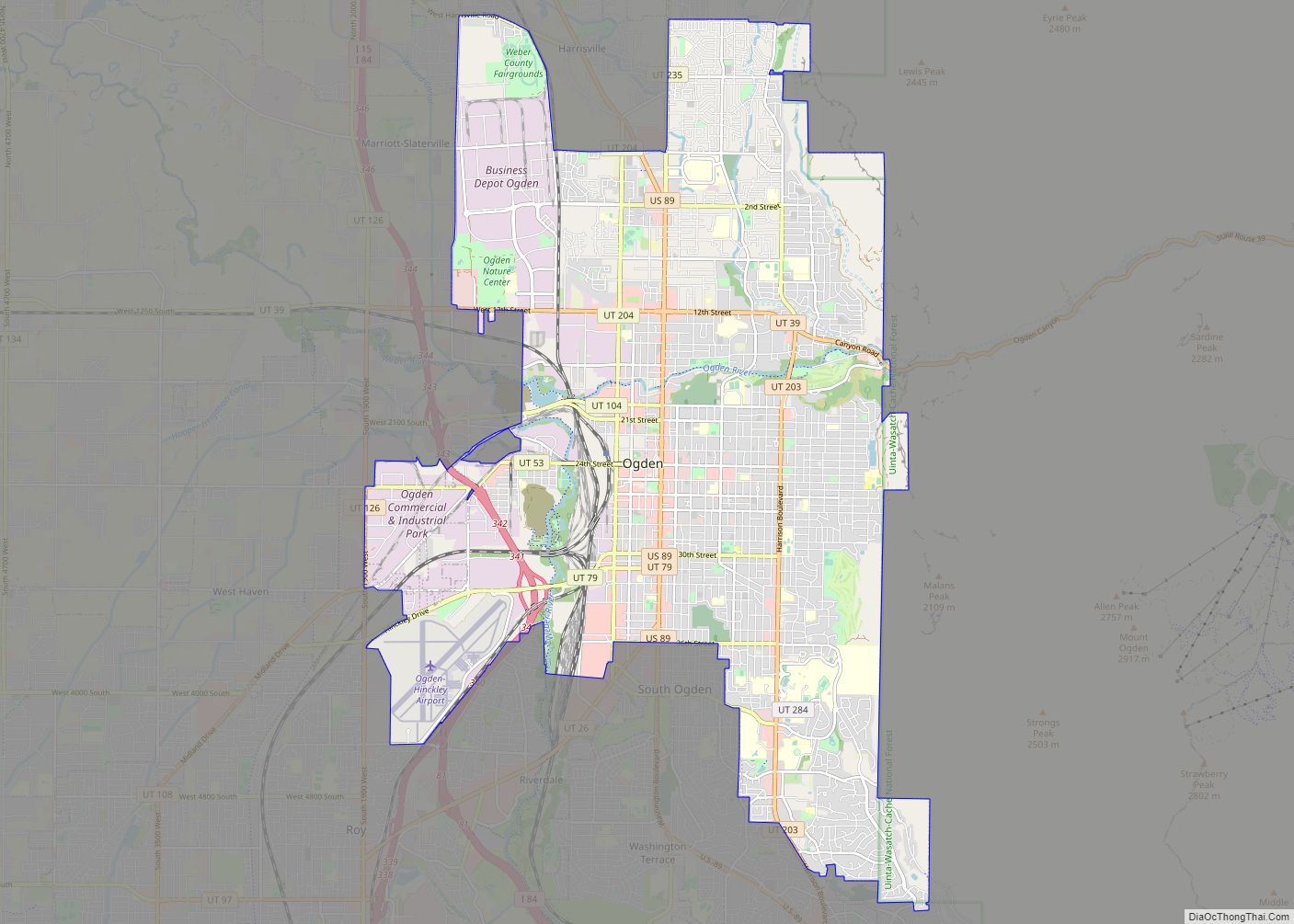
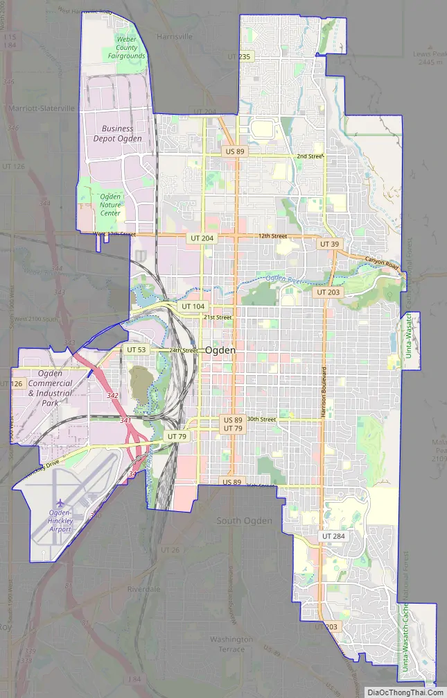
Ogden Road Map
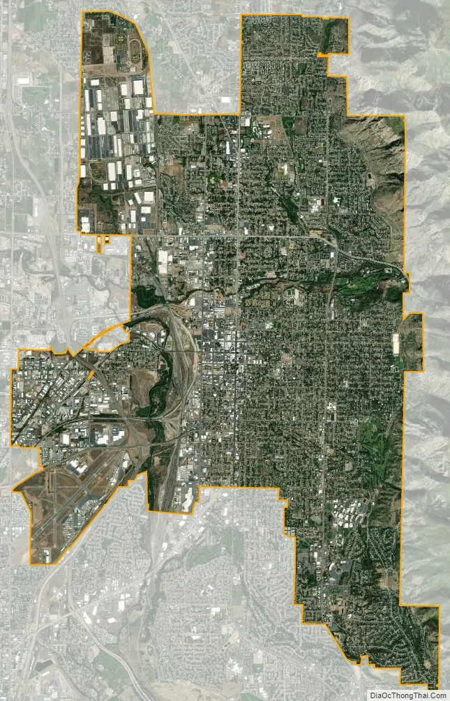
Ogden city Satellite Map
Geography
Topography
Ogden is located at 41°13′11″N 111°58′16″W / 41.2196°N 111.9712°W / 41.2196; -111.9712 (41.2196, −111.9712), at the foot of the Wasatch Mountains. This is at about the same latitude as Benevent in Campania in southern Italy.
According to the United States Census Bureau, the city has an area of 26.6 square miles (69.0 km), all land. Elevations in the city range from about 4,300 to 5,000 feet (1,300 to 1,500 m) above sea level.
The Ogden and Weber Rivers, which originate in the mountains to the east, flow through the city and meet at a confluence just west of the city limits. Pineview Dam is in the Ogden River Canyon 7 miles (11 km) east of Ogden. The reservoir behind the dam provides over 110,000 acre-feet (140,000,000 m) of water storage and water recreation for the area.
Prominent mountain peaks near Ogden include Mount Ogden to the east and Ben Lomond to the north.
Streetscape
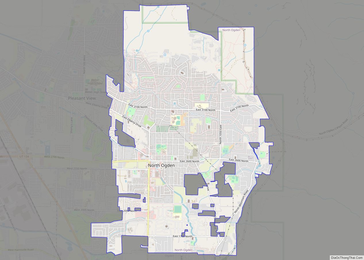
From south to west to north, Ogden’s neighboring towns are South Ogden, Roy, West Haven, Marriott-Slaterville, Farr West, Pleasant View and North Ogden. The city is – like many others in the US – characterized by a spacious, street grid with many blocks. The streets are numbered from north to south, which is expressed in the corresponding street names. By extending the numbers with directions (“E” for east and “W” for west) their relative relation to the central point is made clear. In the center of the city, the blocks from Union Station along 25th Street, the north-to-south oriented cross streets are named after former U.S. presidents such as Lincoln Avenue, Grant Avenue, Washington Boulevard, Adams Avenue, Jefferson Avenue, and Madison Avenue. The central connecting street in north–south orientation is Harrison Boulevard. The city area is divided into six districts: in the North End, including West Ogden, Downtown and East Central; in the East, including East Bench and Shadow Valley.
Climate
According to the Köppen climate classification, Ogden experiences a humid continental climate (Dfa). Summers are hot and relatively dry, with highs frequently reaching 95 °F (35 °C), with a few days per year reaching 100 °F (38 °C). Rain is provided in the form of infrequent thunderstorms during summer, usually between late July and mid-September during the height of monsoon season. The Pacific storm season usually lasts from about October through May, with precipitation reaching its peak in spring. Snow usually first occurs in late October or early November, with the last occurring sometime in April. Winters are cold and snowy, with highs averaging 37 °F (3 °C) in January. Snowfall averages about 56 inches (140 cm), with approximately 21.98 inches (558 mm) of precipitation annually. Extremes range from −16 °F (−27 °C), set on January 26, 1949, to 106 °F (41 °C), set on July 14, 2002.
See also
Map of Utah State and its subdivision: Map of other states:- Alabama
- Alaska
- Arizona
- Arkansas
- California
- Colorado
- Connecticut
- Delaware
- District of Columbia
- Florida
- Georgia
- Hawaii
- Idaho
- Illinois
- Indiana
- Iowa
- Kansas
- Kentucky
- Louisiana
- Maine
- Maryland
- Massachusetts
- Michigan
- Minnesota
- Mississippi
- Missouri
- Montana
- Nebraska
- Nevada
- New Hampshire
- New Jersey
- New Mexico
- New York
- North Carolina
- North Dakota
- Ohio
- Oklahoma
- Oregon
- Pennsylvania
- Rhode Island
- South Carolina
- South Dakota
- Tennessee
- Texas
- Utah
- Vermont
- Virginia
- Washington
- West Virginia
- Wisconsin
- Wyoming