O’Brien County is a county in the U.S. state of Iowa. As of the 2020 United States Census, the population was 14,182. The county seat is Primghar.
| Name: | O’Brien County |
|---|---|
| FIPS code: | 19-141 |
| State: | Iowa |
| Founded: | 15 January 1851 |
| Named for: | William Smith O’Brien |
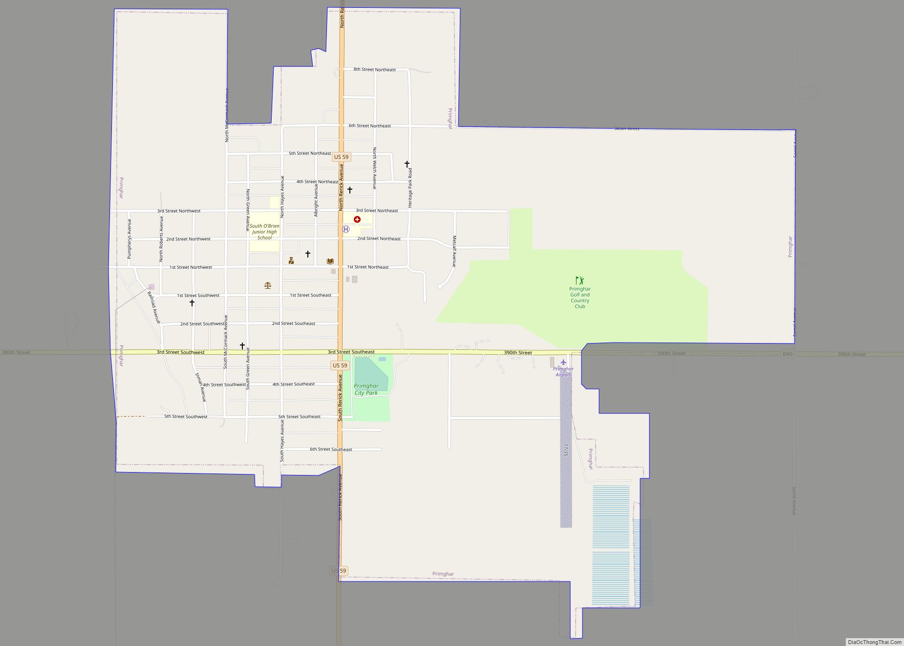
| Seat: | Primghar |
| Largest city: | Sheldon |
| Total Area: | 573 sq mi (1,480 km²) |
| Land Area: | 573 sq mi (1,480 km²) |
| Total Population: | 14,182 |
| Population Density: | 25/sq mi (9.6/km²) |
| Time zone: | UTC−6 (Central) |
| Summer Time Zone (DST): | UTC−5 (CDT) |
| Website: | obriencounty.iowa.gov |
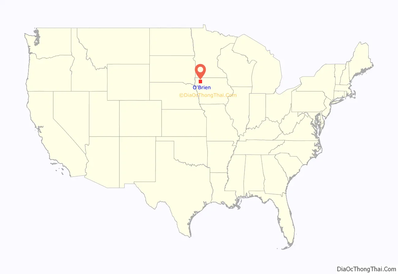
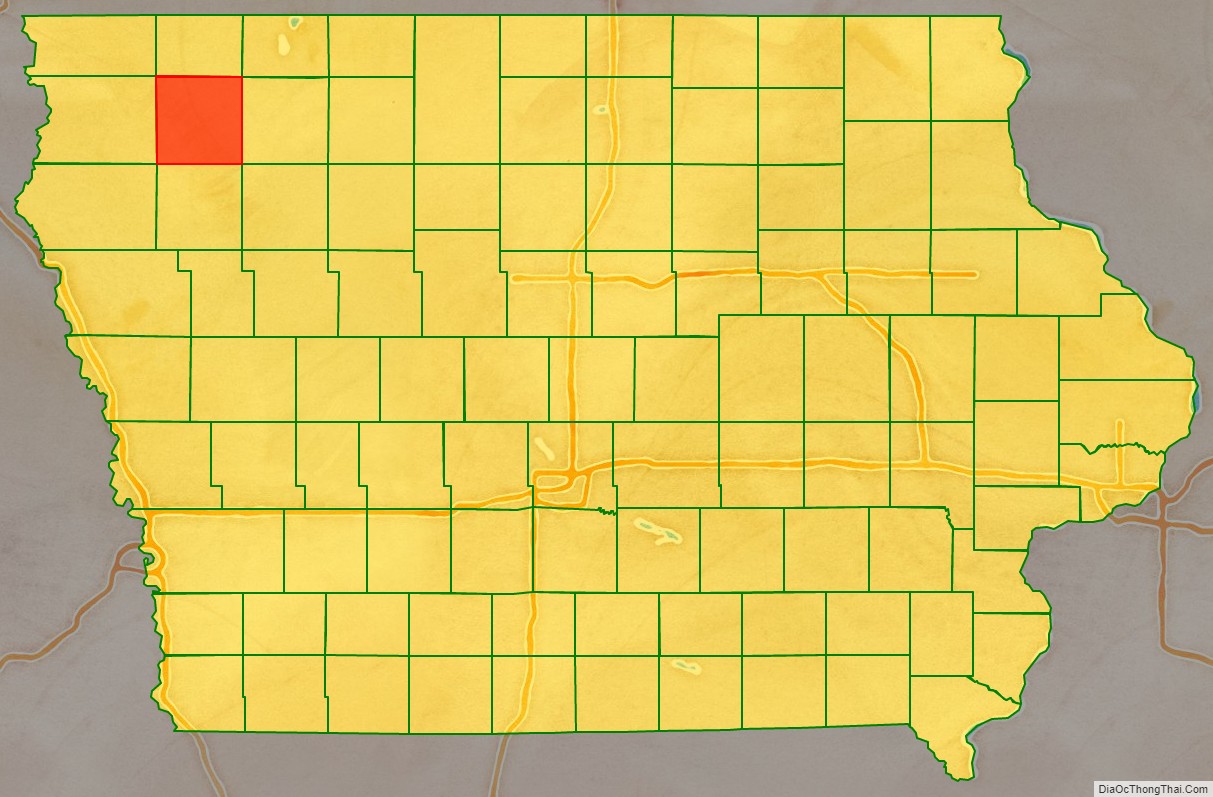
O’Brien County location map. Where is O’Brien County?
History
By the time Iowa attained statehood (28 December 1848), its Territorial Legislature had created 44 counties. On 15 January 1851 the new State Legislature created another 49 counties, defining them by lines of survey. O’Brien was among the 49 units thus created. It consists of four survey townships, each formed by 36 square miles arranged in a 6×6 layout, for a nominal 576 square miles total area. The county was named for William Smith O’Brien, a leader for Irish independence in 1848.
The new county’s first settler arrived in 1856; Hannibal H. Waterman brought his wife and a daughter to the southeast portion (present Waterman Township). His homestead formed the nucleus of the county’s first community, and a small building was erected there to function as a courthouse.
By 1872 the county comprised several small communities, and residents of those groups felt the county’s business should be conducted in a more central location. An election was held, the outcome of which was to create a new county seat at its midpoint. A 40-acre (16.2 hectare) tract at the center of the county was surveyed and platted; its name (Primghar) was created from the initials of eight persons involved with the platting. The previous courthouse building was transported to this new location.
In 1874 a 35-foot square building was erected on the present location at a cost of $2,000, to replace the first structure. It was replaced in 1887 by a larger structure. The County Board of Supervisors authorized its construction, at a cost not to exceed $5,000 (the maximum amount the County was authorized to commit). To keep within this limit, members of the new community agreed to haul the building materials without charge from railroad stops at Sanborn and Paullina. The present courthouse was completed in 1917, and is listed on the National Register of Historic Places.
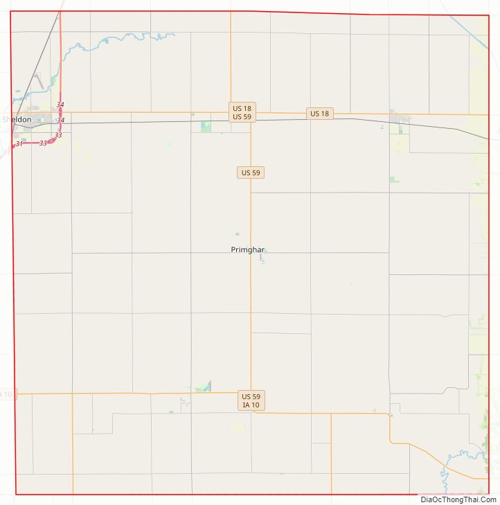
O’Brien County Road Map

Geography
According to the United States Census Bureau, the county has a total area of 573 square miles (1,480 km), of which 573 square miles (1,480 km) is land and 0.2 square miles (0.52 km) (0.03%) is water.
Major highways
- U.S. Highway 18
- U.S. Highway 59
- Iowa Highway 10
- Iowa Highway 60
- Iowa Highway 143
Adjacent counties
- Osceola County – north
- Clay County – east
- Cherokee County – south
- Sioux County – west
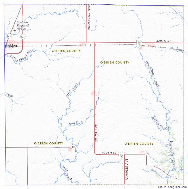
O’Brien County Topographic Map
O’Brien County Satellite Map

O’Brien County Outline Map