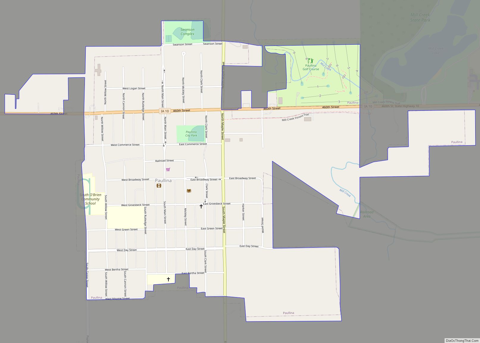
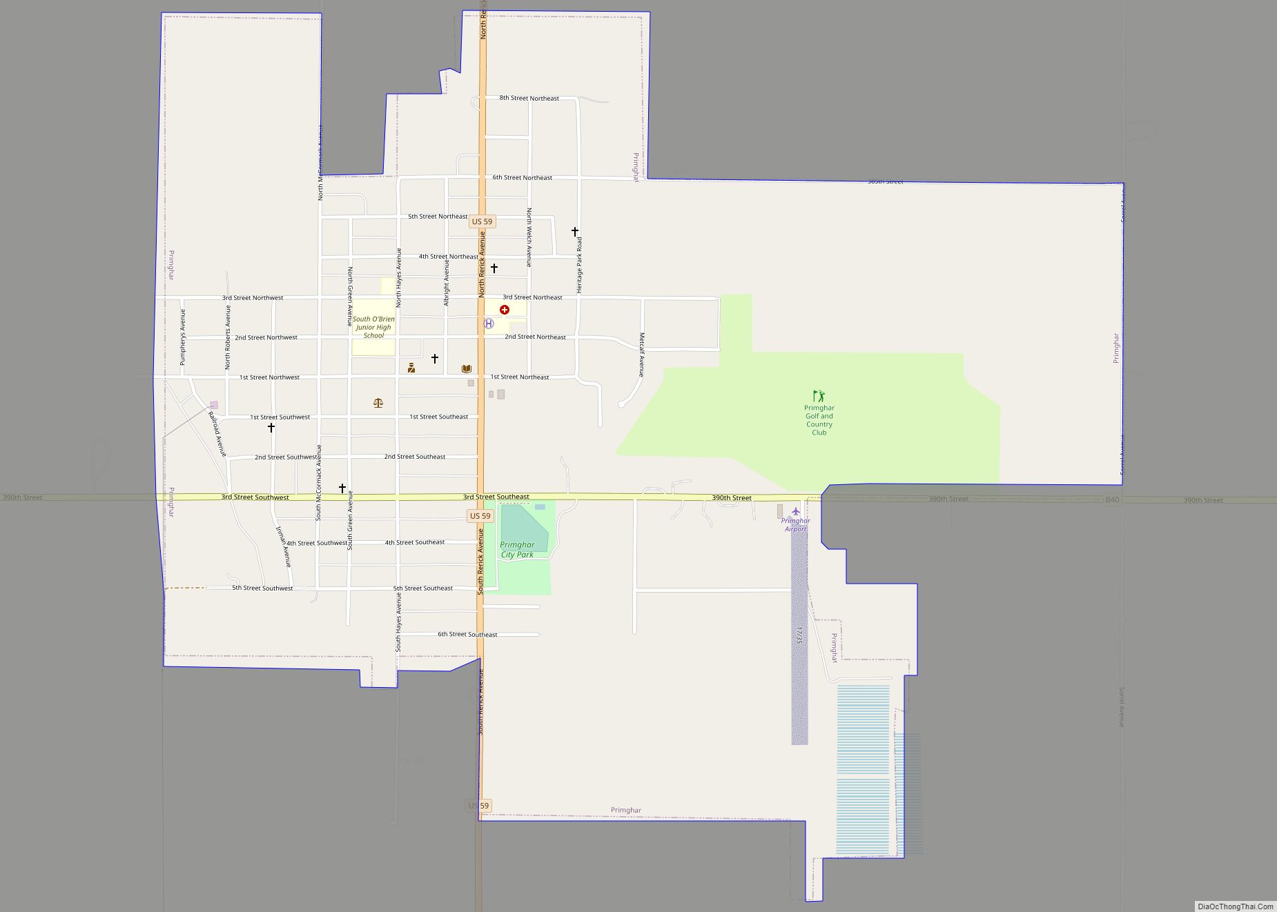
Primghar is a city in, and the county seat of, O’Brien County, Iowa, United States. The population was 896 at the time of the 2020 census. Primghar is 23.5 miles south of Iowa State Highway 9, 28 miles east of Sioux Center and 6.75 miles north of Iowa State Highway 10.
| Name: | Primghar city |
|---|---|
| LSAD Code: | 25 |
| LSAD Description: | city (suffix) |
| State: | Iowa |
| County: | O’Brien County |
| Elevation: | 1,526 ft (465 m) |
| Total Area: | 1.34 sq mi (3.48 km²) |
| Land Area: | 1.34 sq mi (3.48 km²) |
| Water Area: | 0.00 sq mi (0.00 km²) |
| Total Population: | 896 |
| Population Density: | 667.16/sq mi (257.55/km²) |
| ZIP code: | 51245 |
| Area code: | 712 |
| FIPS code: | 1964650 |
| GNISfeature ID: | 0460449 |
| Website: | www.primghariowa.org |
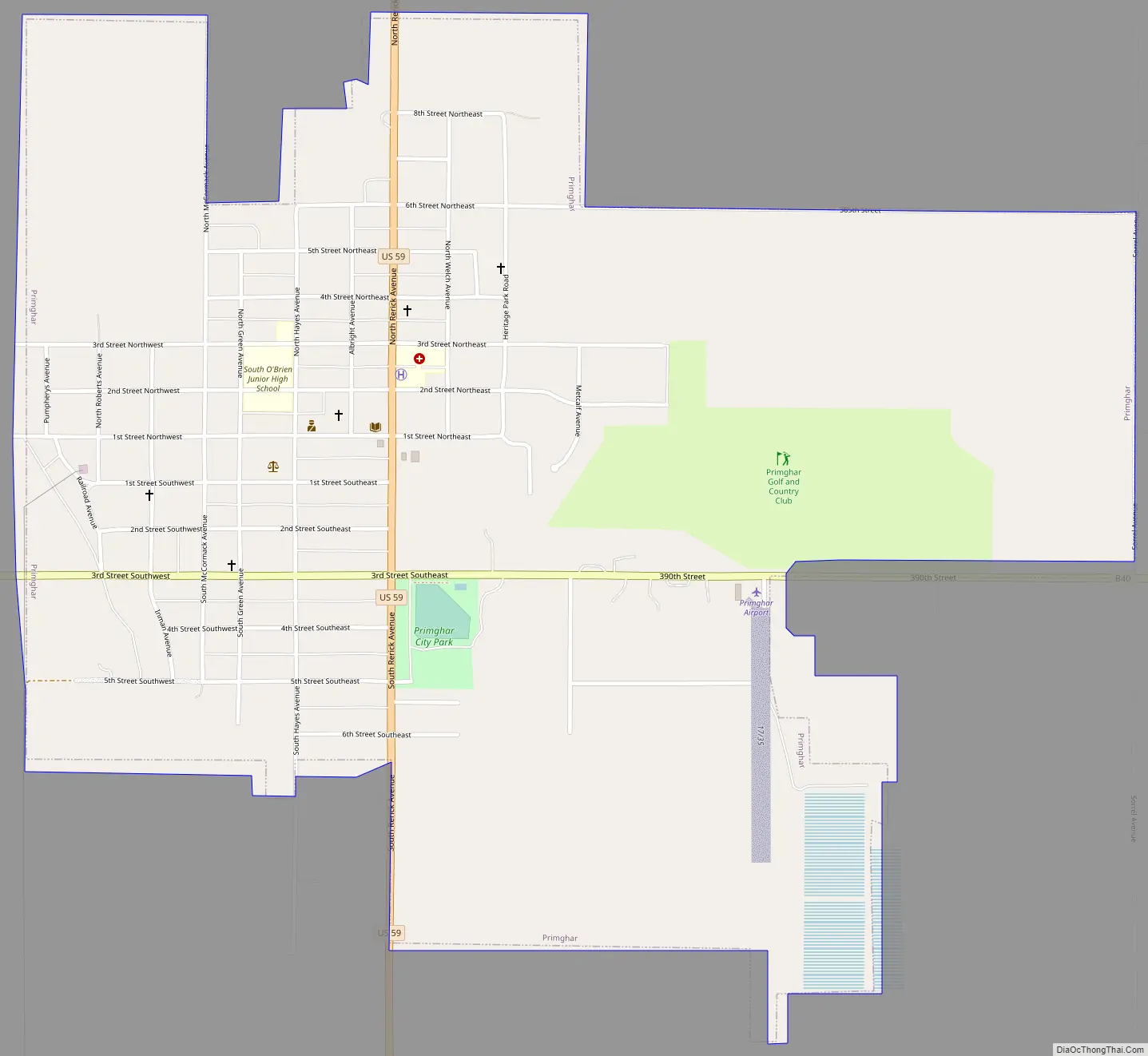
Online Interactive Map
Click on ![]() to view map in "full screen" mode.
to view map in "full screen" mode.
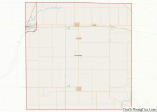
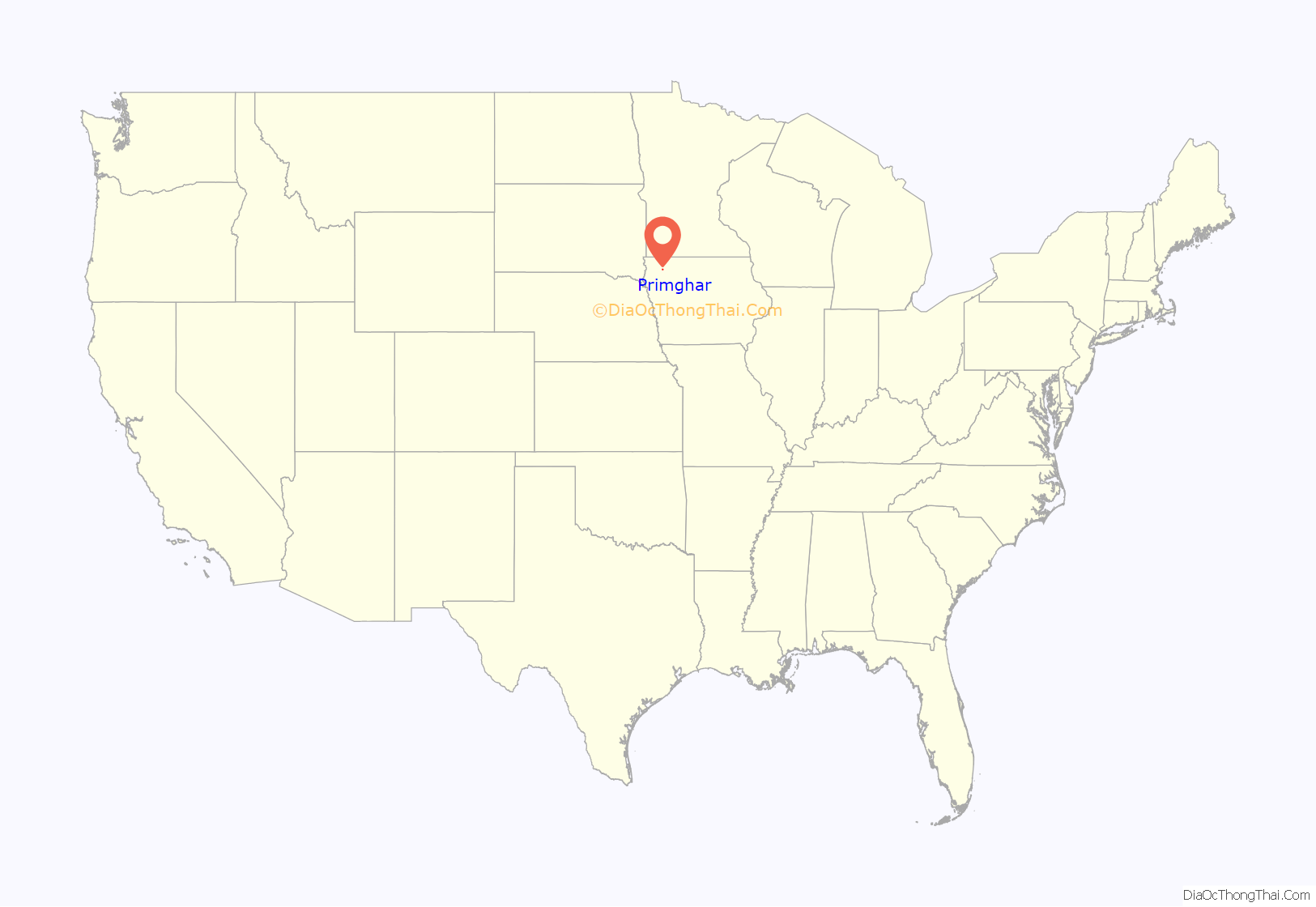
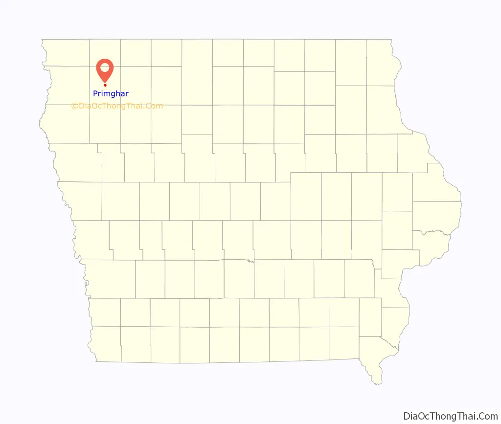
Primghar location map. Where is Primghar city?
History
In a brief history of O’Brien County, Arthur M. Schierholz states: “the courthouse location in (the county of) O’Brien in the extreme southeast corner of the county became a growing issue. To resolve the matter, an election was held on November 11, 1872, to determine the location of the courthouse.” A total of 360 votes were cast, with 307 voting to move the courthouse to the exact geographical center of the county. Another historian wrote, “Probably the only case in Iowa, perhaps anywhere, where a bare spot of raw prairie was actually voted to be the county seat.” This eventually became the town of Primghar. The present O’Brien County Courthouse was completed in 1917. The name Primghar was received from the first letter of eight people who had a major part in platting the town.
Primghar Road Map
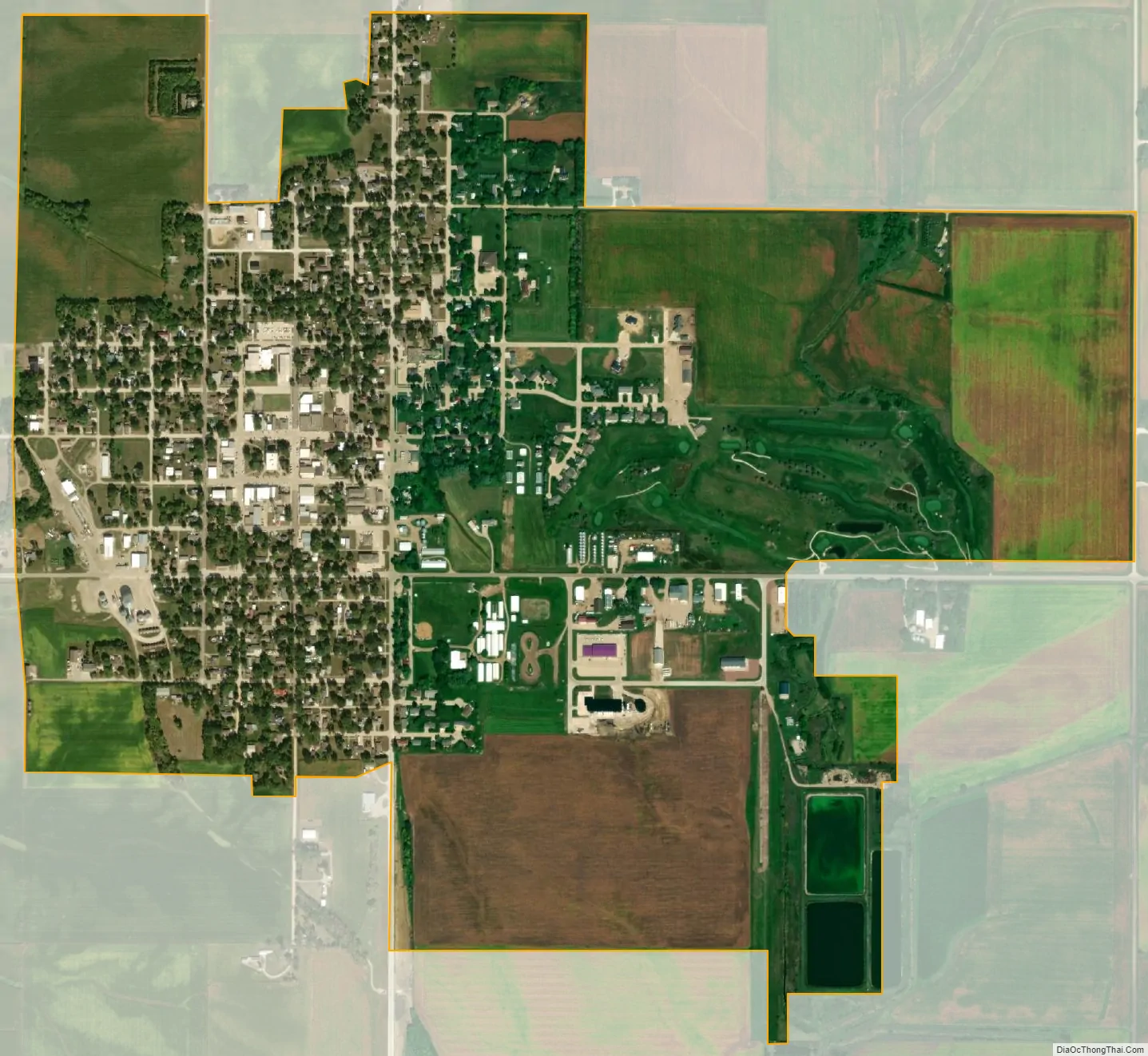
Primghar city Satellite Map
Geography
Primghar is located at 43°5′16″N 95°37′40″W / 43.08778°N 95.62778°W / 43.08778; -95.62778 (43.087722, -95.627892).
According to the United States Census Bureau, the city has a total area of 1.38 square miles (3.57 km), all land.
Roads and highways
The only major highway that passes through Primghar is U.S. 59, going north-south. B40 road runs east-west through the town.
Topography
Primghar lies at an elevation of 1520 feet. This area of northwest Iowa is gently rolling. Today, fields are marred by few boggy areas and much of the land is terraced to reduce erosion. Until fill was hauled in, the south side of the courthouse square was a “boggy, muddy slough.” When the first settlers arrived, there were few trees and almost without exception prairie grass grew to six foot.
In the immediate vicinity of Primghar the topsoils and subsoils are silty clay loam. (Galva, Marcus, Primghar, and Sac soils by name.) Clay loam glacial till is at a depth of 30 to 60 inches in most places. There are no mineral assets of commercial value, save rock and gravel. Back in 1873 this dearth of underground wealth was yet to be decided. There was a $1000 reward posted for anyone finding mineable coal reserves. No one claimed the prize.
There is an abandoned rock quarry, one mile south-southeast of Primghar, which was donated by the Tjossem family to Primghar in 1989 and is now known as Tjossem Park, a fishing area and public picnic/camp ground.
Climate
See also
Map of Iowa State and its subdivision:- Adair
- Adams
- Allamakee
- Appanoose
- Audubon
- Benton
- Black Hawk
- Boone
- Bremer
- Buchanan
- Buena Vista
- Butler
- Calhoun
- Carroll
- Cass
- Cedar
- Cerro Gordo
- Cherokee
- Chickasaw
- Clarke
- Clay
- Clayton
- Clinton
- Crawford
- Dallas
- Davis
- Decatur
- Delaware
- Des Moines
- Dickinson
- Dubuque
- Emmet
- Fayette
- Floyd
- Franklin
- Fremont
- Greene
- Grundy
- Guthrie
- Hamilton
- Hancock
- Hardin
- Harrison
- Henry
- Howard
- Humboldt
- Ida
- Iowa
- Jackson
- Jasper
- Jefferson
- Johnson
- Jones
- Keokuk
- Kossuth
- Lee
- Linn
- Louisa
- Lucas
- Lyon
- Madison
- Mahaska
- Marion
- Marshall
- Mills
- Mitchell
- Monona
- Monroe
- Montgomery
- Muscatine
- O'Brien
- Osceola
- Page
- Palo Alto
- Plymouth
- Pocahontas
- Polk
- Pottawattamie
- Poweshiek
- Ringgold
- Sac
- Scott
- Shelby
- Sioux
- Story
- Tama
- Taylor
- Union
- Van Buren
- Wapello
- Warren
- Washington
- Wayne
- Webster
- Winnebago
- Winneshiek
- Woodbury
- Worth
- Wright
- Alabama
- Alaska
- Arizona
- Arkansas
- California
- Colorado
- Connecticut
- Delaware
- District of Columbia
- Florida
- Georgia
- Hawaii
- Idaho
- Illinois
- Indiana
- Iowa
- Kansas
- Kentucky
- Louisiana
- Maine
- Maryland
- Massachusetts
- Michigan
- Minnesota
- Mississippi
- Missouri
- Montana
- Nebraska
- Nevada
- New Hampshire
- New Jersey
- New Mexico
- New York
- North Carolina
- North Dakota
- Ohio
- Oklahoma
- Oregon
- Pennsylvania
- Rhode Island
- South Carolina
- South Dakota
- Tennessee
- Texas
- Utah
- Vermont
- Virginia
- Washington
- West Virginia
- Wisconsin
- Wyoming