Sheldon is a city in O’Brien and Sioux counties in the U.S. state of Iowa, along the Floyd River. The population was 5,512 at the time of the 2020 census; it is the largest city in O’Brien County.
| Name: | Sheldon city |
|---|---|
| LSAD Code: | 25 |
| LSAD Description: | city (suffix) |
| State: | Iowa |
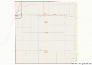
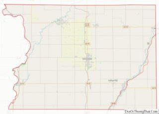
| County: | O’Brien County, Sioux County |
| Elevation: | 1,427 ft (435 m) |
| Total Area: | 4.75 sq mi (12.29 km²) |
| Land Area: | 4.75 sq mi (12.29 km²) |
| Water Area: | 0.00 sq mi (0.00 km²) |
| Total Population: | 5,512 |
| Population Density: | 1,161.64/sq mi (448.48/km²) |
| ZIP code: | 51201 |
| Area code: | 712 |
| FIPS code: | 1972390 |
| GNISfeature ID: | 0461558 |
| Website: | www.sheldoniowa.com |
Online Interactive Map
Click on ![]() to view map in "full screen" mode.
to view map in "full screen" mode.
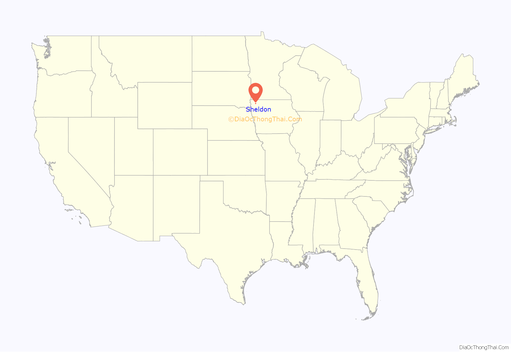
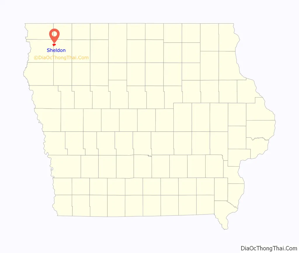
Sheldon location map. Where is Sheldon city?
History
Sheldon got its start in the year 1873, following construction of the Sioux City & St. Paul Railroad through that territory. It was named for Israel Sheldon, a railroad promoter. It was a strategic location on the rail for businesses from as far away as Minneapolis and Omaha, after the addition of the intersection with the Chicago, Milwaukee and St. Paul Railway in 1878.
The growth in infrastructure has continued. Today, the city lies at the crossroads of Iowa Highway 60 and U.S. Route 18. Eastbound and westbound rail service is provided by IC&E Railroad (since 2008 a subsidiary of Canadian Pacific Railway), while northbound and southbound service is provided by Union Pacific Railroad.
The city’s first financial institution, the Sheldon State Bank, closed in 1903. In 1961, the city made headlines when it was revealed that Burnice Geiger had embezzled more than two million dollars from the Sheldon National Bank, operated by her father. She was sentenced to fifteen years in prison in the same year, but paroled in 1966.
Today, the city is most known for its annual display of marigolds and the moniker of its local schools’ athletic teams—the Orabs. The name stands for the school colors orange and black. Sheldon High School also hosts the Sheldon High School Summer Theatre program. Sheldon is the home of Northwest Iowa Community College and the Carnegie Library, which was placed on the National Register of Historic Places in 1977.
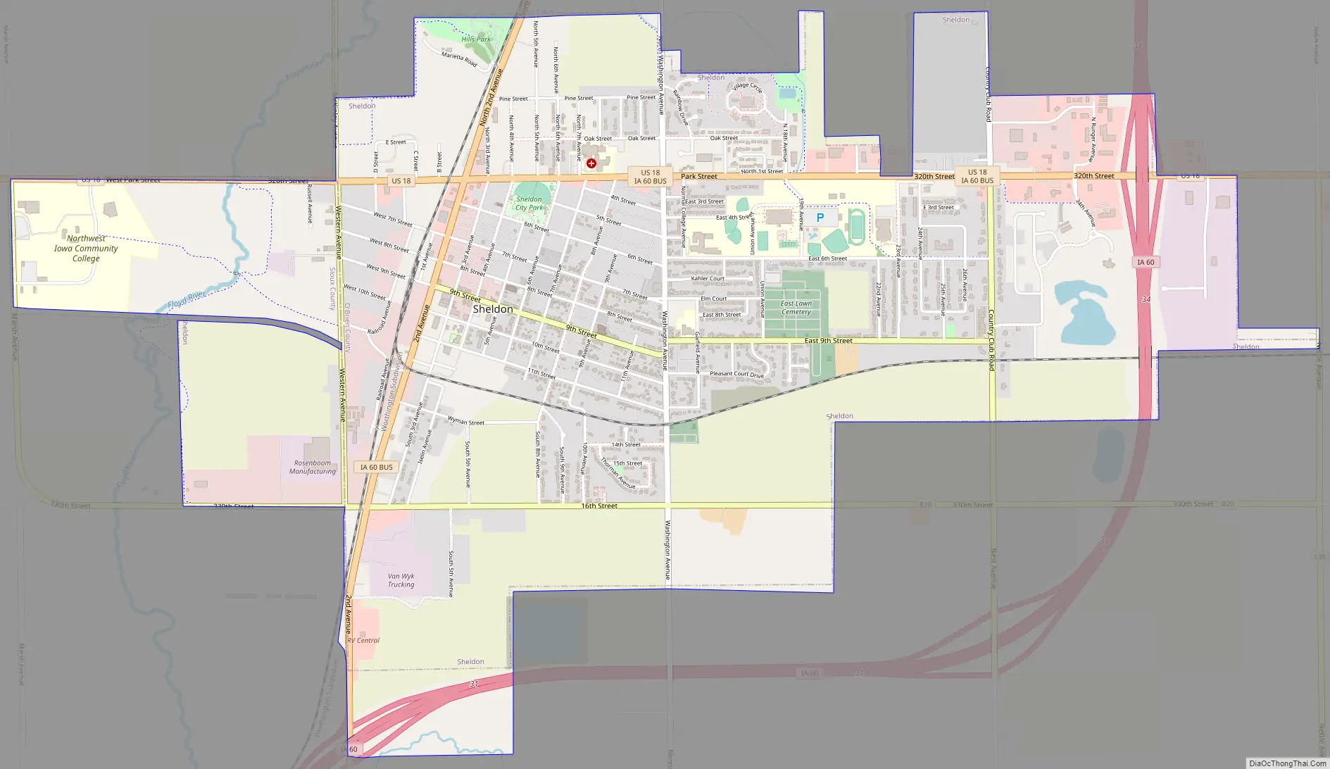
Sheldon Road Map
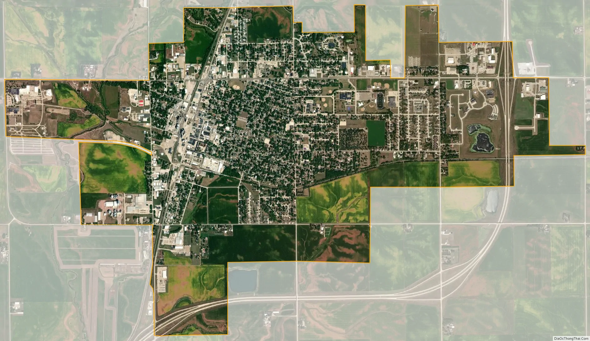
Sheldon city Satellite Map
Geography
Sheldon is located at 43°10′52″N 95°50′53″W / 43.18111°N 95.84806°W / 43.18111; -95.84806 (43.181180, −95.848123).
According to the United States Census Bureau, the city has a total area of 4.50 square miles (11.65 km), all land.
Climate
See also
Map of Iowa State and its subdivision:- Adair
- Adams
- Allamakee
- Appanoose
- Audubon
- Benton
- Black Hawk
- Boone
- Bremer
- Buchanan
- Buena Vista
- Butler
- Calhoun
- Carroll
- Cass
- Cedar
- Cerro Gordo
- Cherokee
- Chickasaw
- Clarke
- Clay
- Clayton
- Clinton
- Crawford
- Dallas
- Davis
- Decatur
- Delaware
- Des Moines
- Dickinson
- Dubuque
- Emmet
- Fayette
- Floyd
- Franklin
- Fremont
- Greene
- Grundy
- Guthrie
- Hamilton
- Hancock
- Hardin
- Harrison
- Henry
- Howard
- Humboldt
- Ida
- Iowa
- Jackson
- Jasper
- Jefferson
- Johnson
- Jones
- Keokuk
- Kossuth
- Lee
- Linn
- Louisa
- Lucas
- Lyon
- Madison
- Mahaska
- Marion
- Marshall
- Mills
- Mitchell
- Monona
- Monroe
- Montgomery
- Muscatine
- O'Brien
- Osceola
- Page
- Palo Alto
- Plymouth
- Pocahontas
- Polk
- Pottawattamie
- Poweshiek
- Ringgold
- Sac
- Scott
- Shelby
- Sioux
- Story
- Tama
- Taylor
- Union
- Van Buren
- Wapello
- Warren
- Washington
- Wayne
- Webster
- Winnebago
- Winneshiek
- Woodbury
- Worth
- Wright
- Alabama
- Alaska
- Arizona
- Arkansas
- California
- Colorado
- Connecticut
- Delaware
- District of Columbia
- Florida
- Georgia
- Hawaii
- Idaho
- Illinois
- Indiana
- Iowa
- Kansas
- Kentucky
- Louisiana
- Maine
- Maryland
- Massachusetts
- Michigan
- Minnesota
- Mississippi
- Missouri
- Montana
- Nebraska
- Nevada
- New Hampshire
- New Jersey
- New Mexico
- New York
- North Carolina
- North Dakota
- Ohio
- Oklahoma
- Oregon
- Pennsylvania
- Rhode Island
- South Carolina
- South Dakota
- Tennessee
- Texas
- Utah
- Vermont
- Virginia
- Washington
- West Virginia
- Wisconsin
- Wyoming