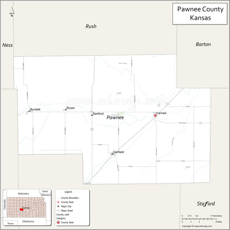
Pawnee County (standard abbreviation: PN) is a county located in the U.S. state of Kansas. As of the 2020 census, the county population was 6,253. The largest city and county seat is Larned.
The county is named after the Pawnee Tribe.
| Name: | Pawnee County |
|---|---|
| FIPS code: | 20-145 |
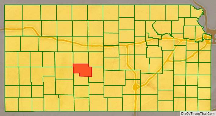
| State: | Kansas |
| Founded: | February 26, 1867 |
| Named for: | Pawnee tribe |
| Seat: | Larned |
| Largest city: | Larned |
| Total Area: | 755 sq mi (1,960 km²) |
| Land Area: | 754 sq mi (1,950 km²) |
| Total Population: | 6,253 |
| Population Density: | 8.3/sq mi (3.2/km²) |
| Time zone: | UTC−6 (Central) |
| Summer Time Zone (DST): | UTC−5 (CDT) |
| Website: | pawneecountykansas.com |
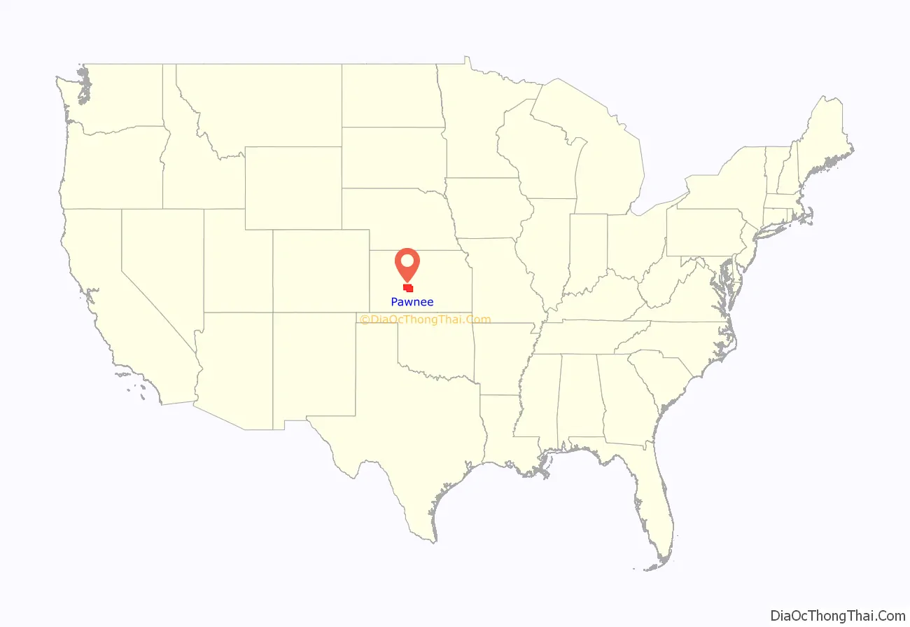
Pawnee County location map. Where is Pawnee County?
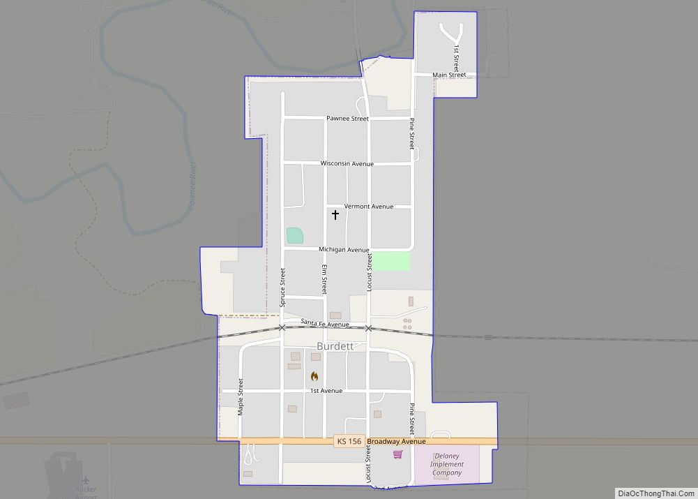
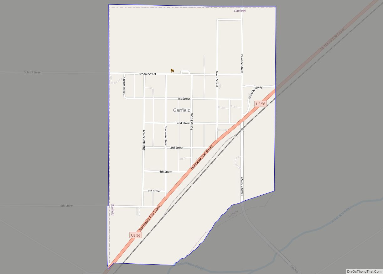
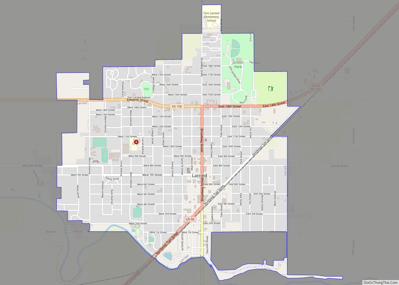
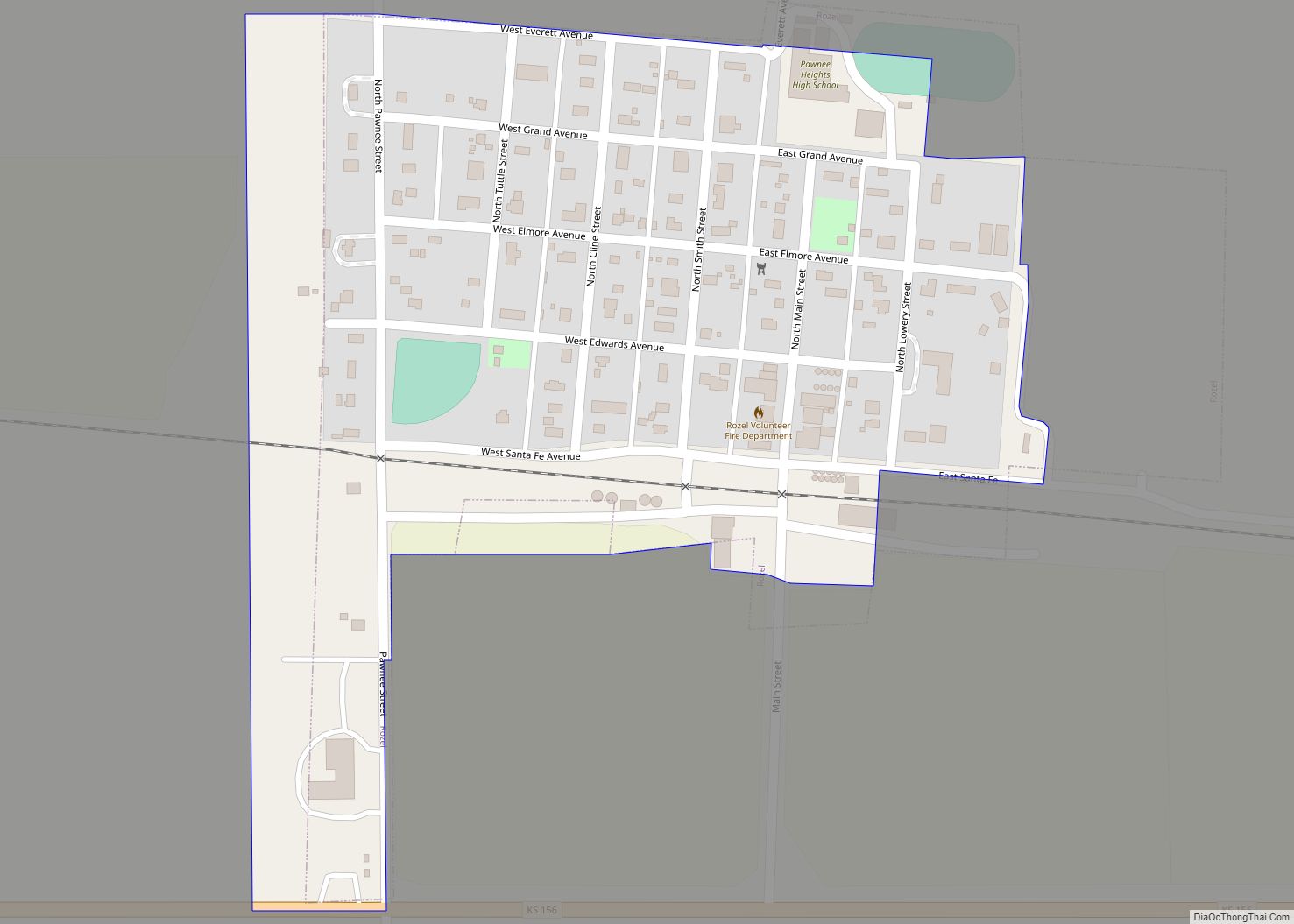
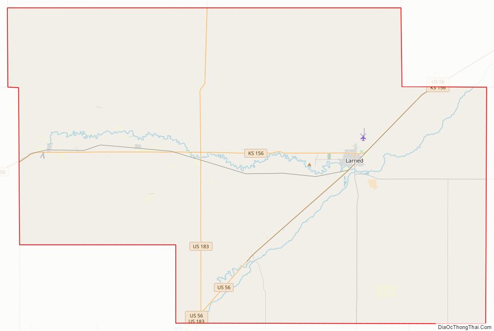
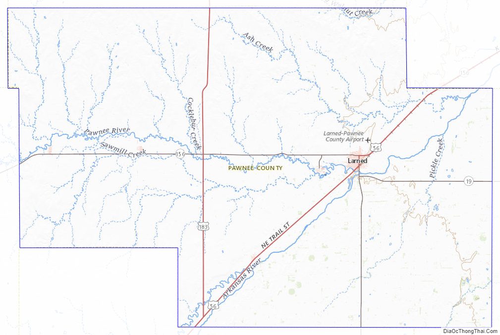
Pawnee County Road Map
Geography
According to the U.S. Census Bureau, the county has a total area of 755 square miles (1,960 km), of which 754 square miles (1,950 km) is land and 0.4 square miles (1.0 km) (0.05%) is water.
Adjacent counties
- Rush County (north)
- Barton County (northeast)
- Stafford County (east)
- Edwards County (south)
- Hodgeman County (west)
- Ness County (northwest)
National protected area
- Fort Larned National Historic Site
Pawnee County Topographic Map
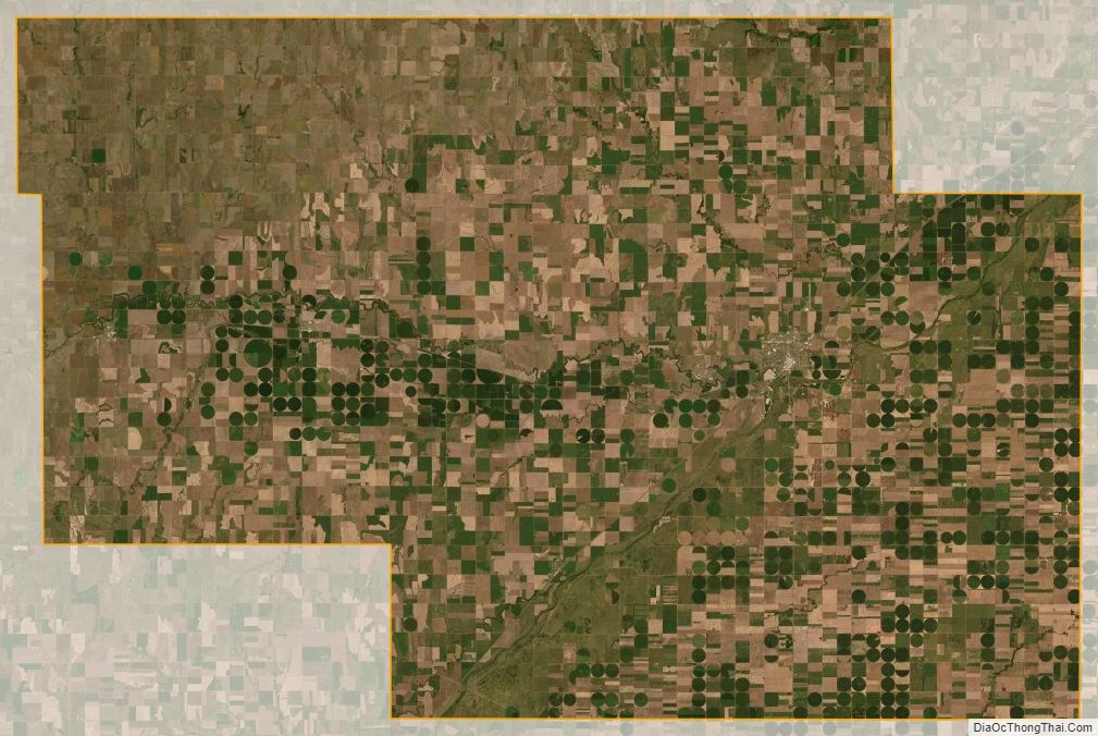
Pawnee County Satellite Map
Pawnee County Outline Map