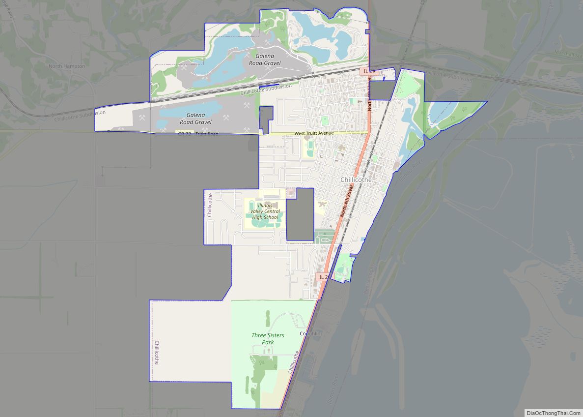
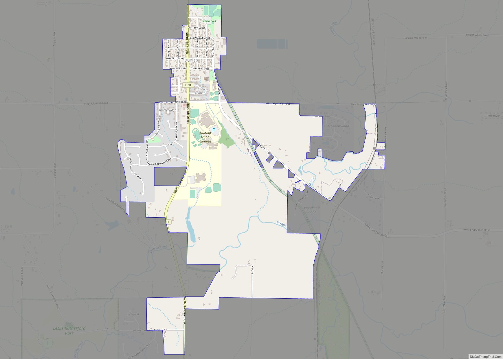
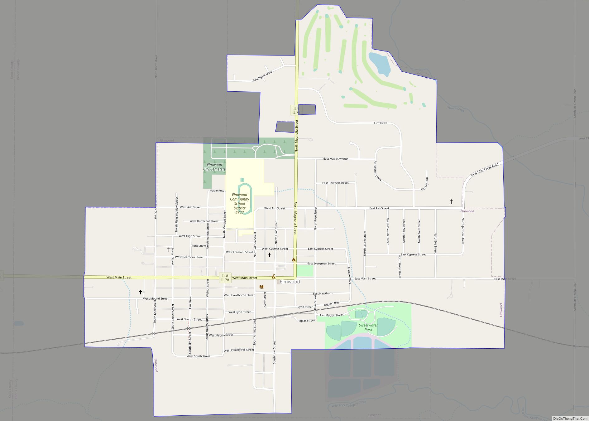
Peoria County is located in the U.S. state of Illinois. The 2020 United States Census listed its population at 181,830. Its county seat is Peoria. Peoria County is part of the Peoria, IL Metropolitan Statistical Area.
| Name: | Peoria County |
|---|---|
| FIPS code: | 17-143 |
| State: | Illinois |
| Founded: | 1825 |
| Named for: | Peoria tribe |
| Seat: | Peoria |
| Largest city: | Peoria |
| Total Area: | 631 sq mi (1,630 km²) |
| Land Area: | 619 sq mi (1,600 km²) |
| Total Population: | 186,494 |
| Population Density: | 300/sq mi (110/km²) |
| Time zone: | UTC−6 (Central) |
| Summer Time Zone (DST): | UTC−5 (CDT) |
| Website: | www.peoriacounty.org |
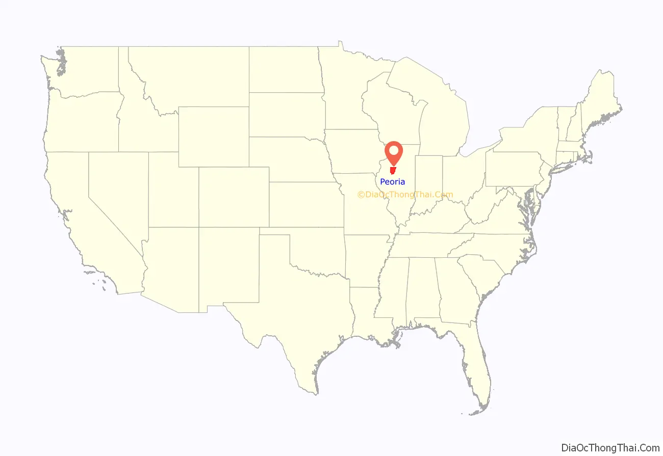
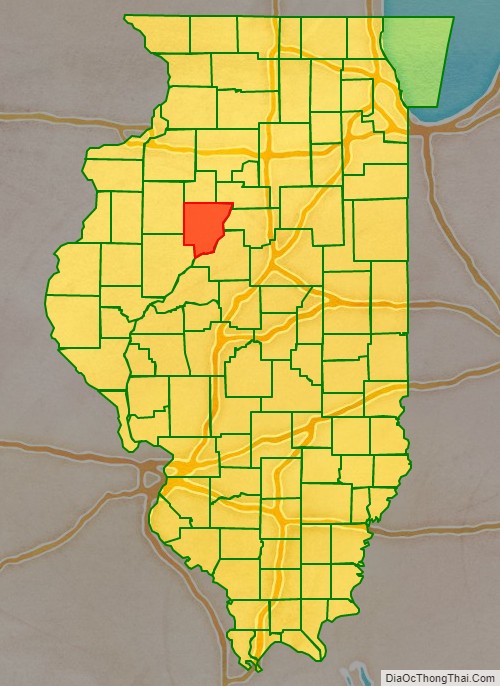
Peoria County location map. Where is Peoria County?
History
Peoria County was formed in 1825 out of Fulton County. It was named for the Peoria, an Illiniwek people who lived there. It included most of the western valley of the Illinois River up to the Chicago river portage.
Gallery timeline
Peoria County at creation, with unorganized territory attached to it.
Peoria County 1826–1827. The newly created Mercer and Warren Counties were temporarily attached to Peoria.
Peoria County 1827–1830. The creation of Tazewell County left Peoria with only a small tract of unorganized territory east of the Illinois River, whose border was not defined.
In 1830, Warren County organized a government.
In 1831, Peoria County’s present borders were established and Mercer County was attached to Warren.
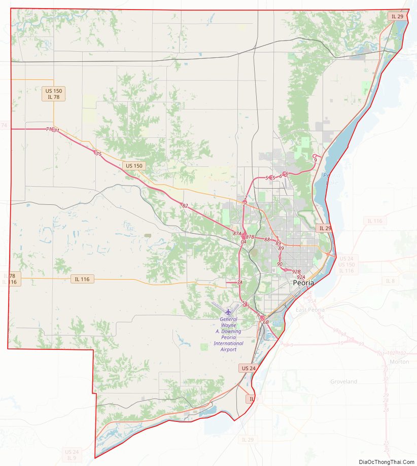
Peoria County Road Map
Geography
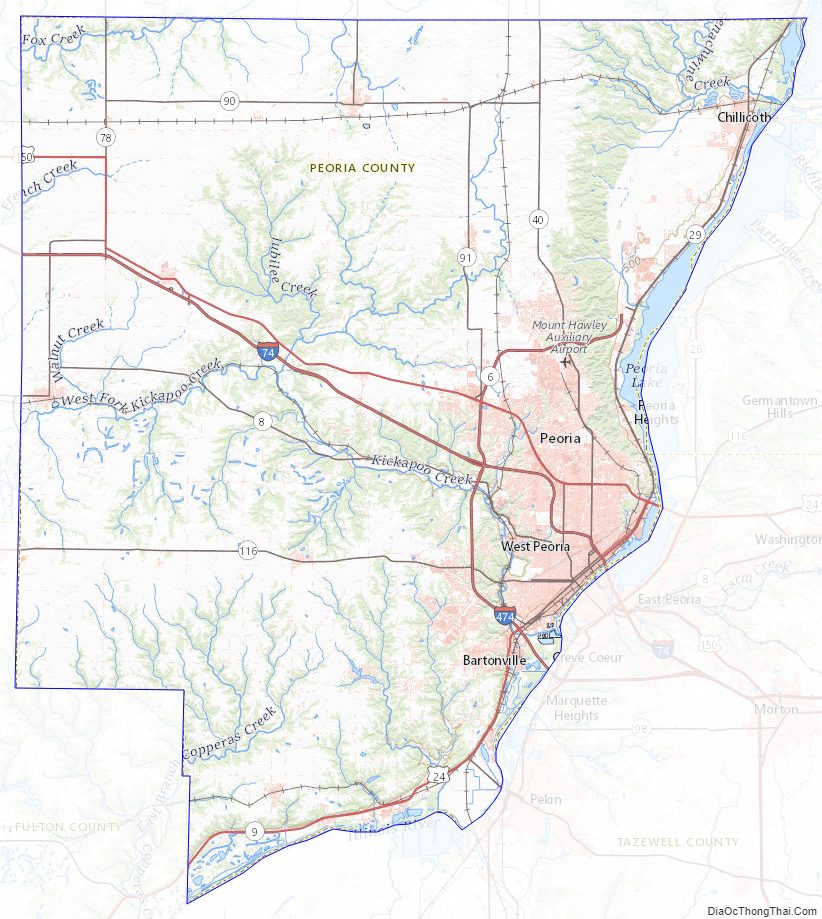
According to the US Census Bureau, the county has a total area of 631 square miles (1,630 km), of which 619 square miles (1,600 km) is land and 11 square miles (28 km) (1.8%) is water. The county is drained by Spoon River, Kickapoo Creek, Elbow Creek, and Copperas Creek.
Climate and weather
In recent years, average temperatures in the county seat of Peoria have ranged from a low of 14 °F (−10 °C) in January to a high of 86 °F (30 °C) in July, although a record low of −27 °F (−33 °C) was recorded in January 1884 and a record high of 113 °F (45 °C) was recorded in July 1936. Average monthly precipitation ranged from 1.50 inches (38 mm) in January to 4.17 inches (106 mm) in May.
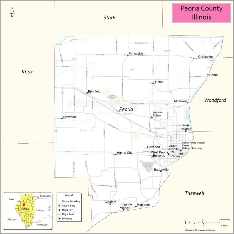
Adjacent counties
- Knox County – northwest
- Stark County – north
- Marshall County – northeast
- Woodford County – east
- Tazewell County – south
- Fulton County – southwest
Peoria County Topographic Map
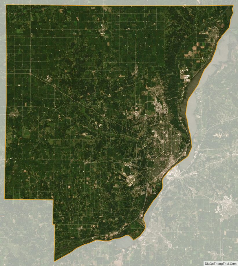
Peoria County Satellite Map
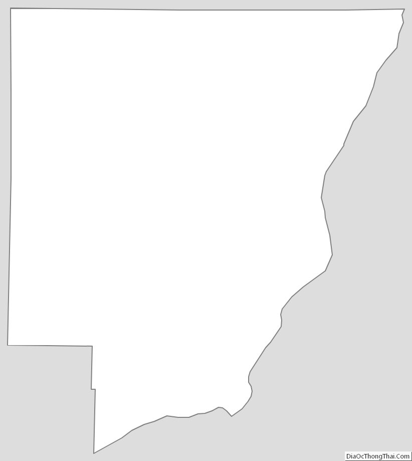
Peoria County Outline Map