Tazewell County (/tæzwɛl/) is a county in the U.S. state of Illinois. According to the 2010 census, it had a population of 135,394. Its county seat and largest city is Pekin. It is pronounced with a short “a”, to rhyme with “razz” rather than “raze.”
Tazewell County is part of the Peoria, IL Metropolitan Statistical Area. The majority of the population lives along the county’s western border.
| Name: | Tazewell County |
|---|---|
| FIPS code: | 17-179 |
| State: | Illinois |
| Founded: | 1827 |
| Named for: | Littleton Waller Tazewell |
| Seat: | Pekin |
| Largest city: | Pekin |
| Total Area: | 658 sq mi (1,700 km²) |
| Land Area: | 649 sq mi (1,680 km²) |
| Total Population: | 135,394 |
| Population Density: | 210/sq mi (79/km²) |
| Time zone: | UTC−6 (Central) |
| Summer Time Zone (DST): | UTC−5 (CDT) |
| Website: | www.tazewell.com |
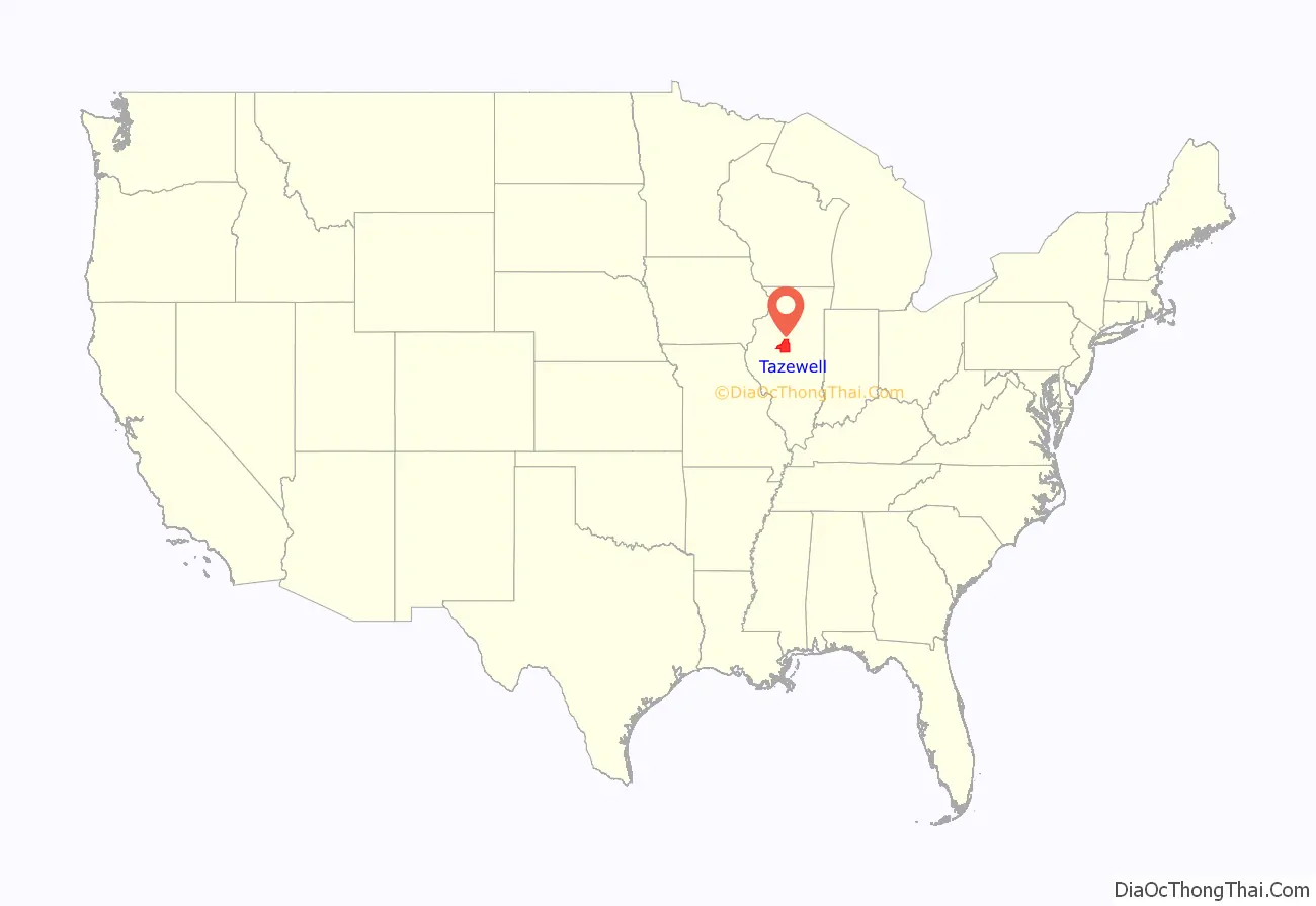
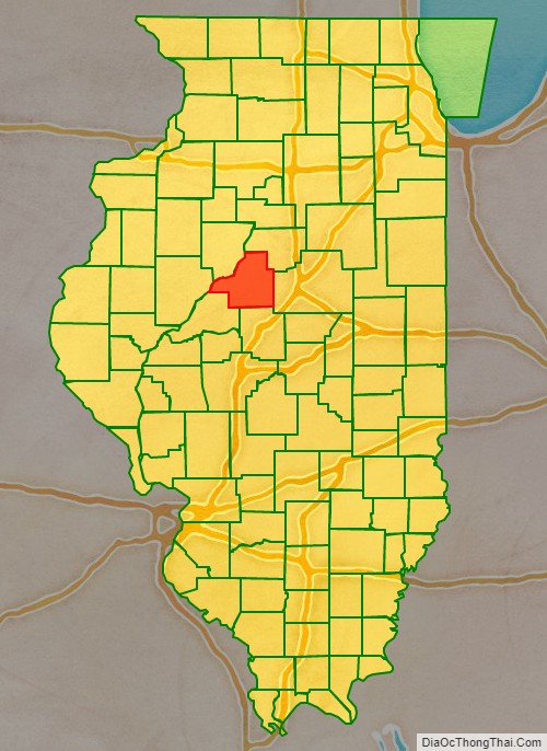
Tazewell County location map. Where is Tazewell County?
History
Tazewell County was formed out of Peoria County in 1827. The consensus appears to be that it was named in honor of Littleton Tazewell, who served in the U.S. Senate, and who became Governor of Virginia in 1834. It is, however, possible that it was named after Littleton’s father, prominent Virginia politician Henry Tazewell, after whom Tazewell County, Virginia, was named.
Tazewell from the time of its creation to 1829, including a large tract of unorganized territory temporarily attached to it, whose precise border was not defined.
Tazewell County between 1829 and 1830: the creation of Macon County established a southern border for Tazewell’s additional territory.
Tazewell County between 1830 and 1831: the additional territory to the east became McLean County.
Tazewell County between 1831 and 1841: the last of the county’s additional territory became part of LaSalle County.
Tazewell County in 1841, reduced to its present borders.
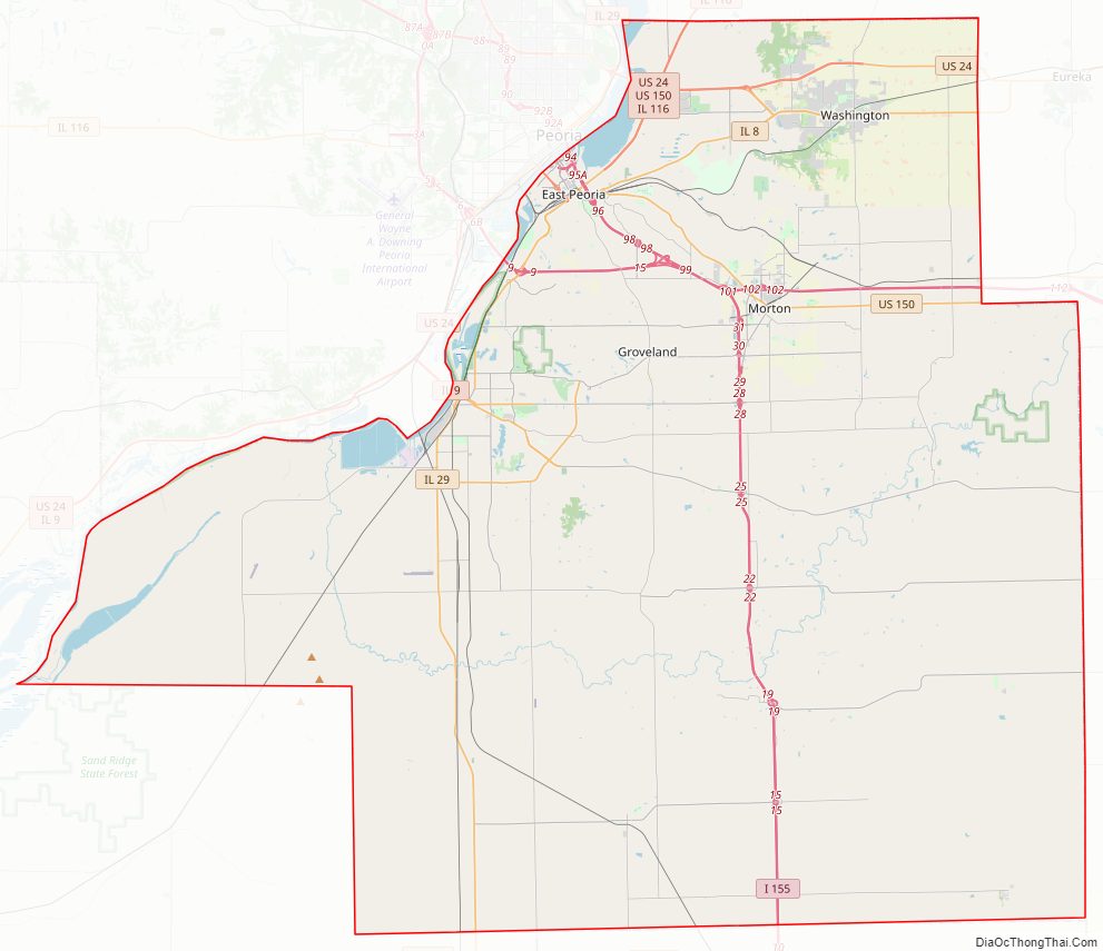
Tazewell County Road Map
Geography
According to the U.S. Census Bureau, the county has a total area of 658 square miles (1,700 km), of which 649 square miles (1,680 km) is land and 9.0 square miles (23 km) (1.4%) is water.
Climate and weather
In recent years, average temperatures in the county seat of Pekin have ranged from a low of 14 °F (−10 °C) in January to a high of 86 °F (30 °C) in July, although a record low of −27 °F (−33 °C) was recorded in January 1884 and a record high of 113 °F (45 °C) was recorded in July 1936. Average monthly precipitation ranged from 1.50 inches (38 mm) in January to 4.17 inches (106 mm) in May.
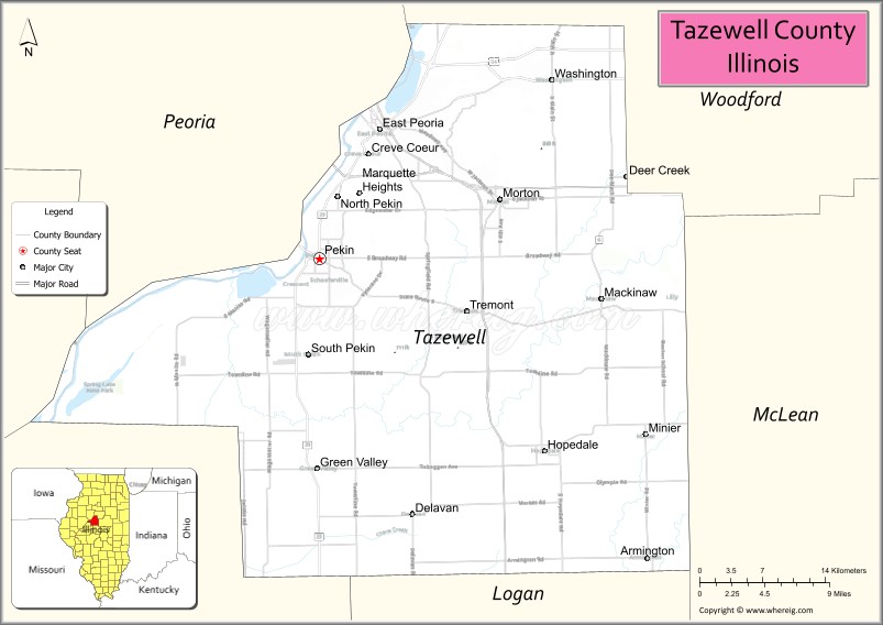
Adjacent counties
- Peoria County (northwest)
- Woodford County (north)
- McLean County (east)
- Logan County (south)
- Mason County (southwest)
- Fulton County (west)
Tazewell County Topographic Map
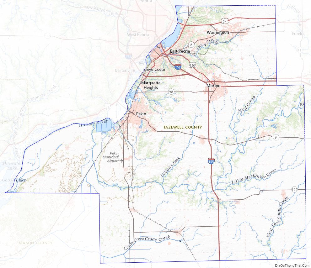
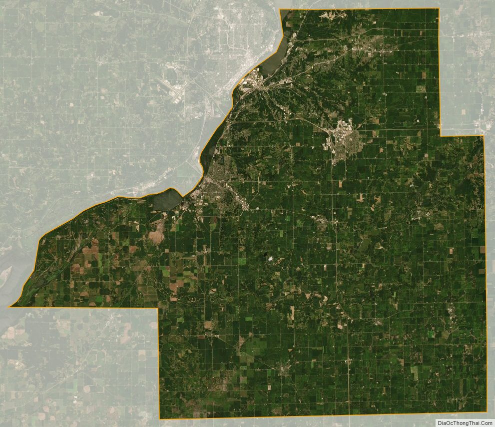
Tazewell County Satellite Map
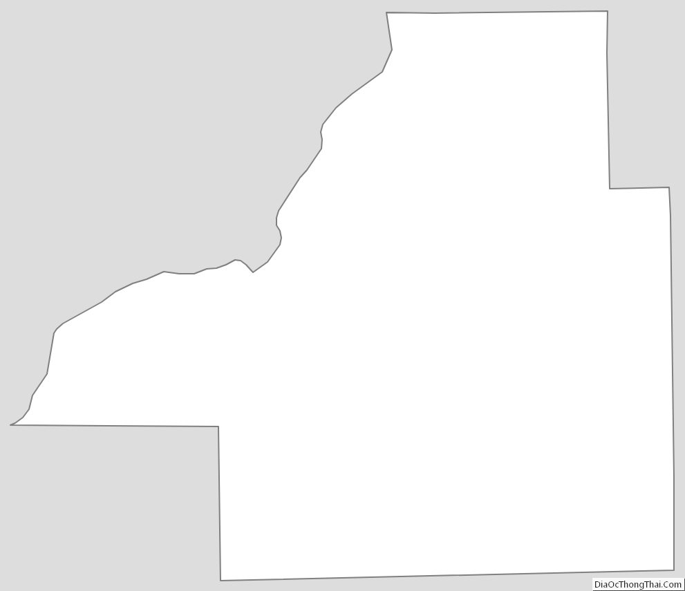
Tazewell County Outline Map