Pitkin County is a county in the U.S. state of Colorado. As of the 2020 census, the population was 17,358. The county seat and largest city is Aspen. The county is named for Colorado Governor Frederick Walker Pitkin. Pitkin County has the seventh-highest per capita income of any U.S. county. Measured by mean income of the top 5% of earners, it is the wealthiest U.S. county.
Pitkin County is included in the Glenwood Springs Micropolitan Statistical Area, which is also included in the Edwards-Glenwood Springs Combined Statistical Area.
| Name: | Pitkin County |
|---|---|
| FIPS code: | 08-097 |
| State: | Colorado |
| Founded: | February 23, 1881 |
| Named for: | Frederick Walker Pitkin |
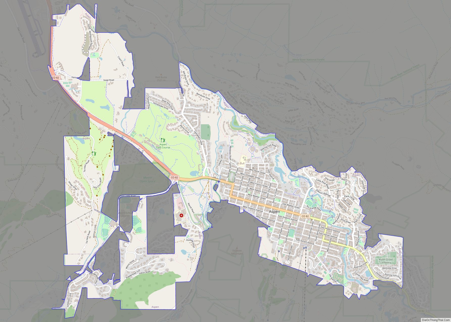
| Seat: | Aspen |
| Largest city: | Aspen |
| Total Area: | 973 sq mi (2,520 km²) |
| Land Area: | 971 sq mi (2,510 km²) |
| Total Population: | 17,358 |
| Population Density: | 18/sq mi (7/km²) |
| Time zone: | UTC−7 (Mountain) |
| Summer Time Zone (DST): | UTC−6 (MDT) |
| Website: | www.pitkincounty.com |
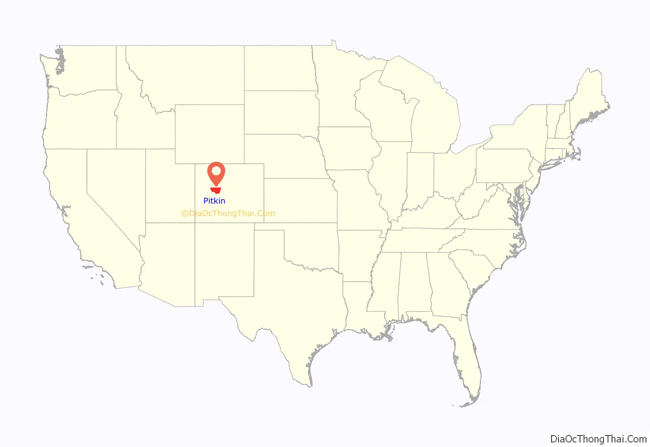
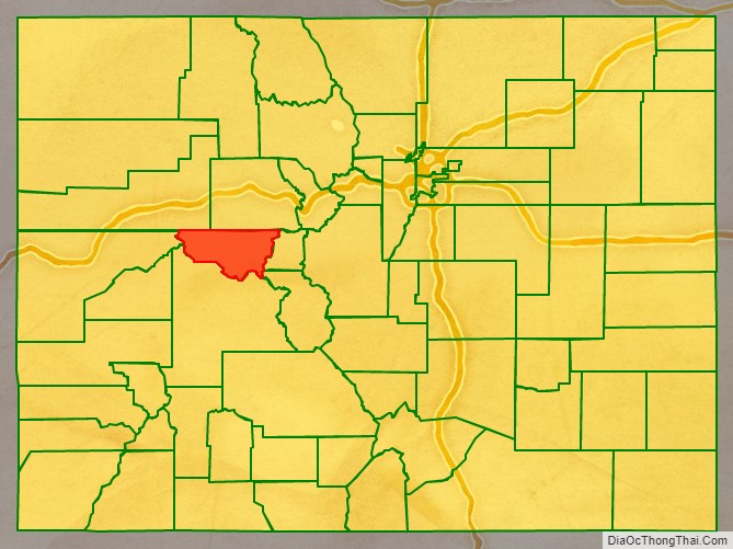
Pitkin County location map. Where is Pitkin County?
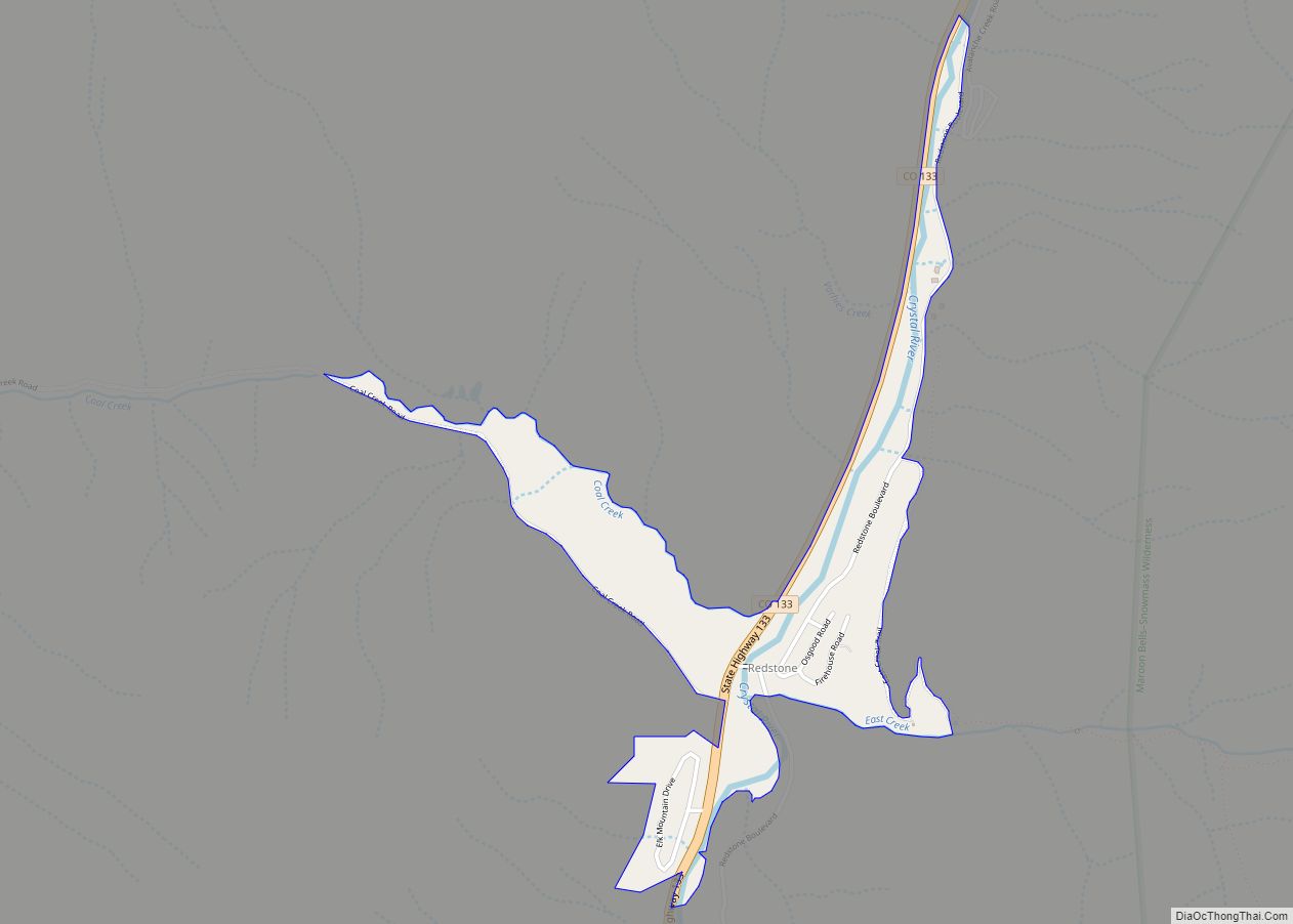
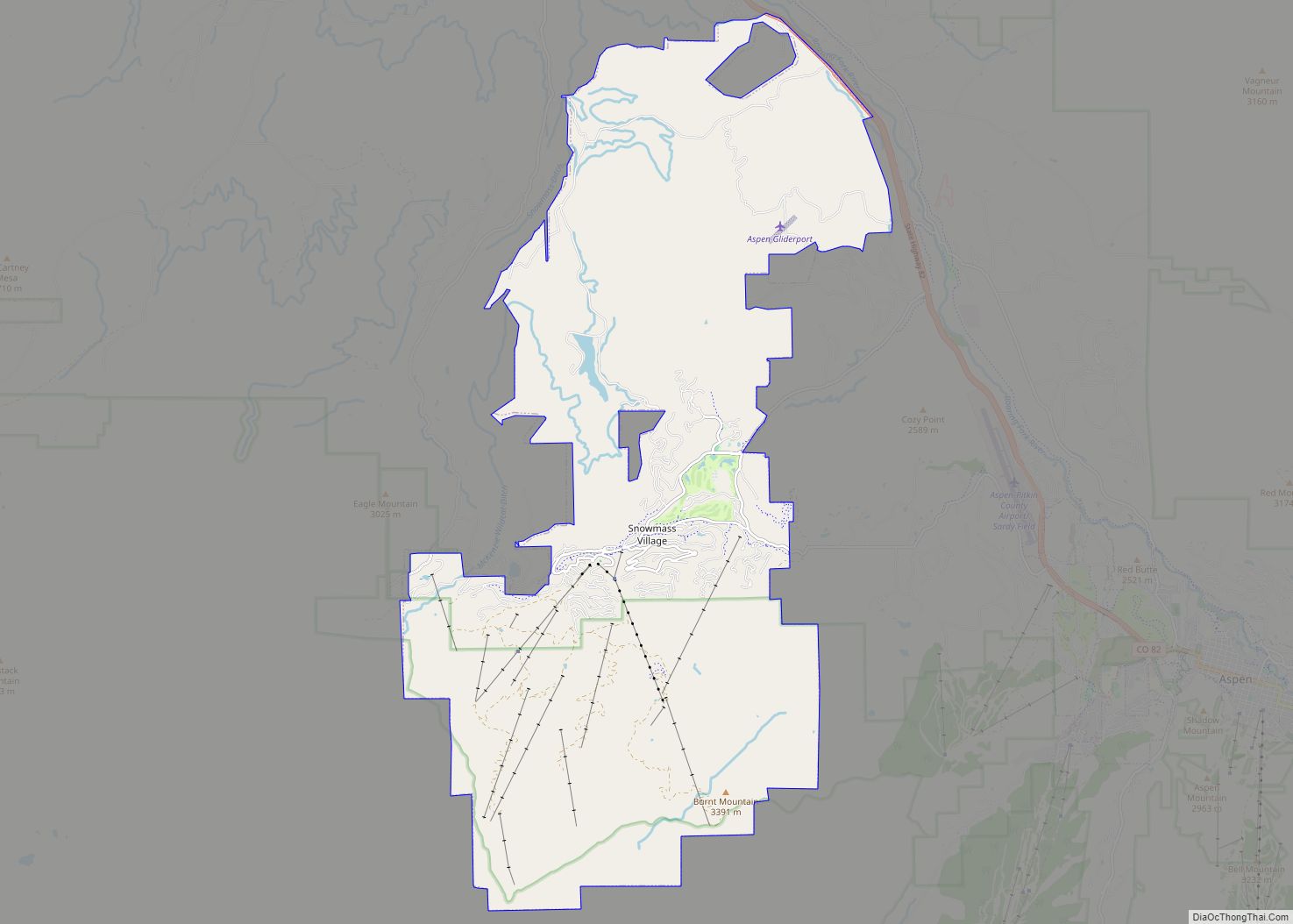
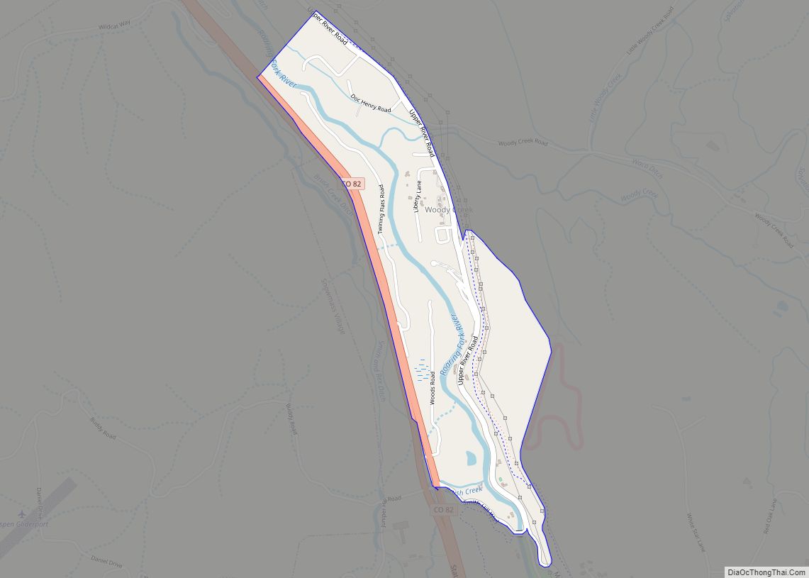
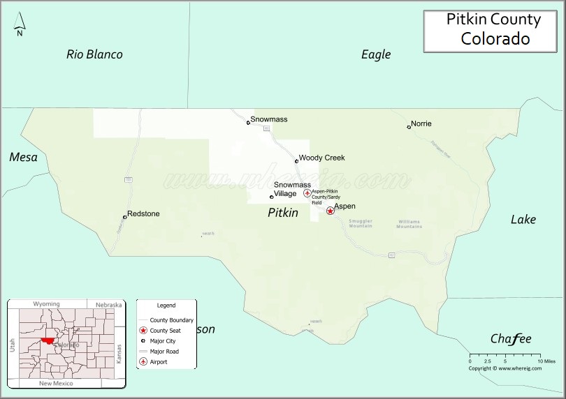
Pitkin County Road Map
Geography
According to the U.S. Census Bureau, the county has an area of 973 square miles (2,520 km), of which 971 sq mi (2,510 km) is land and 2.5 sq mi (6.5 km) (0.3%) is water. The county’s highest point is Castle Peak, a fourteener with a height of 14,265 feet (4,348 m). It is 20 miles (32 km) south of Aspen on the Gunnison County border.
Adjacent counties
- Eagle County – northeast
- Lake County – east
- Chaffee County – southeast
- Gunnison County – south
- Mesa County – west
- Garfield County – northwest
Major highways
- State Highway 82
- State Highway 133
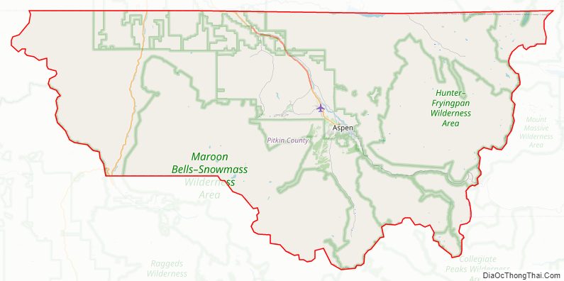
National protected areas
- White River National Forest
- Collegiate Peaks Wilderness
- Holy Cross Wilderness
- Hunter-Fryingpan Wilderness
- Maroon Bells-Snowmass Wilderness
Trails and byways
- American Discovery Trail
- Continental Divide National Scenic Trail
- West Elk Loop Scenic Byway
Pitkin County Topographic Map
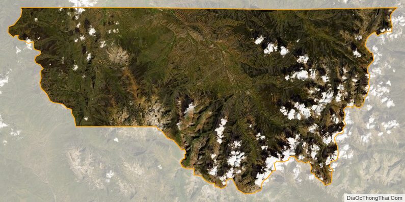
Pitkin County Satellite Map
Pitkin County Outline Map